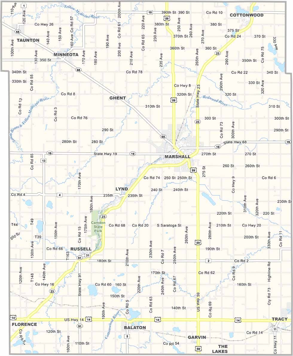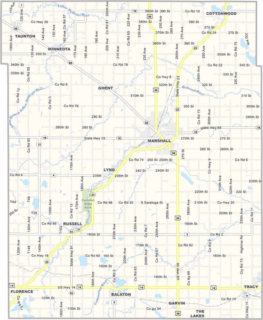
Lyon County Map, Minnesota

Lyon County, Minnesota

Lyon County sits in the middle of southwestern Minnesota. Marshall is the biggest town, home to Southwest Minnesota State University. It's a college town with a rural twist.

The land here is flat as a pool table, broken only by the occasional grove of trees. Farming is a big part of life here, but there's more to the county than agriculture.

The county also has a real soft spot for parks. Camden State Park is a local favorite, with hiking trails and a sweet swimming hole. Anglers can also cast a line on Lake Marshall.
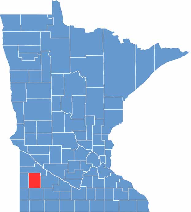

Lyon County location map of Minnesota
CategoryDetails
County NameLyon County
County SeatMarshall
PopulationApproximately 26,000
Cities, Towns, and CommunitiesMarshall, Tracy, Minneota, Cottonwood, Balaton, Ghent, Taunton, Lynd, Russell
Interstates and HighwaysUS 59, MN 19, MN 23, MN 68
FIPS Code27-083
Total Area (Land and Water)722 square miles (Land: 715 sq mi, Water: 7 sq mi)
Adjacent Counties (and Direction)Yellow Medicine County (North), Redwood County (East), Murray County (South), Pipestone County (Southwest), Lincoln County (West)
Time ZoneCentral Time Zone (CT)
StateMinnesota
Coordinates44.4084° N, 95.8244° W
EtymologyNamed after Nathaniel Lyon, the first Union general killed in the American Civil War
Major LandmarksCamden State Park, Red Baron Arena, Lyon County Historical Society, Southwest Minnesota State University
Scroll to Top