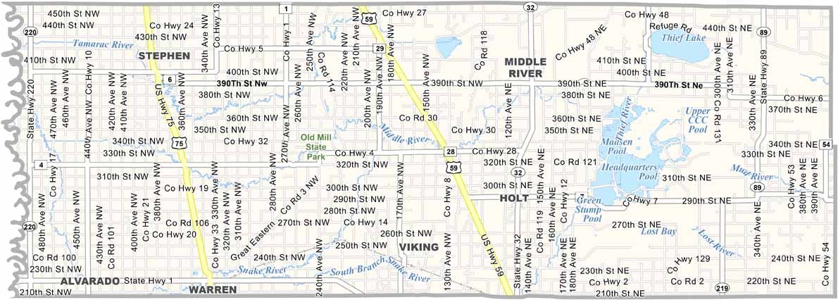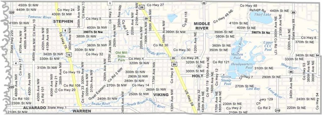
Marshall County Map, Minnesota

Marshall County, Minnesota

Marshall County sits in the far northwestern corner of Minnesota, right on the North Dakota border. Warren is the county seat, but don't expect any skyscrapers.

Farming rules the land here. The terrain is flat as a pancake, broken only by the occasional grove of trees, and wheat is the big crop, with fields stretching all the way to the horizon.

The Middle River snakes through the county, popular with canoeists and anglers. Agassiz National Wildlife Refuge is a major stopover for migrating birds, and Old Mill State Park is well worth a visit.
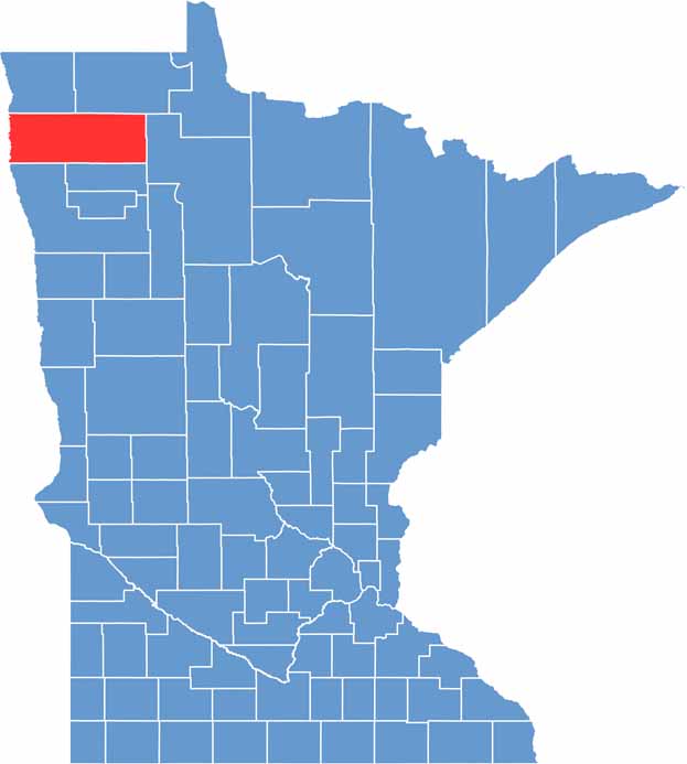

Marshall County location map of Minnesota
CategoryDetails
County NameMarshall County
County SeatWarren
PopulationApproximately 9,000
Cities, Towns, and CommunitiesWarren, Stephen, Newfolden, Alvarado, Argyle, Middle River, Oslo
Interstates and HighwaysUS 75, MN 1, MN 32
FIPS Code27-089
Total Area (Land and Water)1,813 square miles (Land: 1,775 sq mi, Water: 38 sq mi)
Adjacent Counties (and Direction)Kittson County (North), Roseau County (Northeast), Beltrami County (East), Pennington County (Southeast), Polk County (South), Grand Forks County, North Dakota (Southwest), Walsh County, North Dakota (West), Pembina County, North Dakota (Northwest)
Time ZoneCentral Time Zone (CT)
StateMinnesota
Coordinates48.3531° N, 96.4896° W
EtymologyNamed after William Rainey Marshall, fifth governor of Minnesota
Major LandmarksAgassiz National Wildlife Refuge, Old Mill State Park, Florian Campground
Scroll to Top