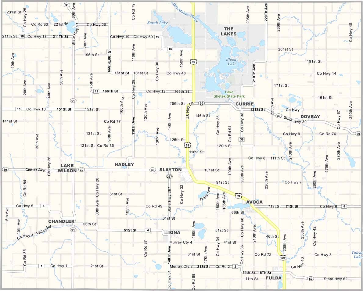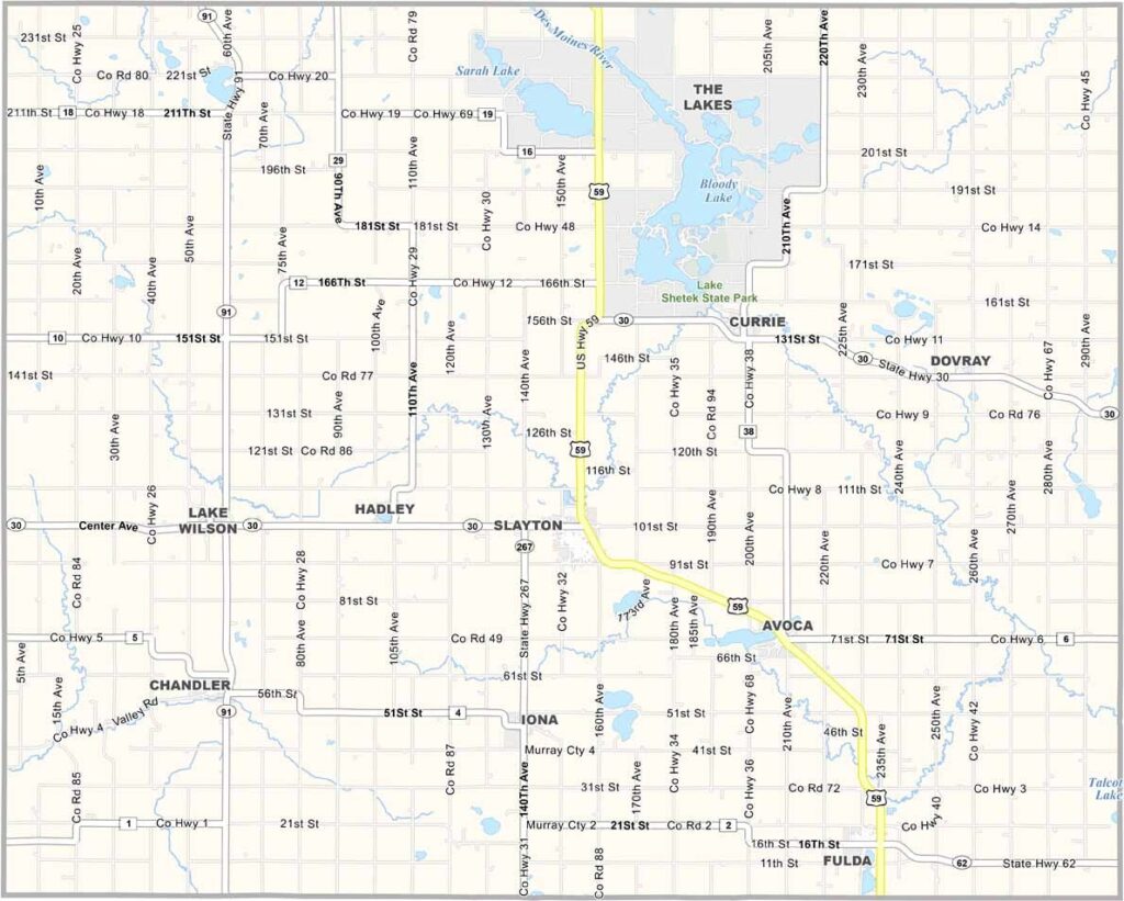
Murray County Map, Minnesota

Murray County, Minnesota

Murray County stretches across the prairies of southwestern Minnesota, a place where the sky feels bigger somehow and the land rolls gently.

Farmers here grow corn and soybeans and raise cattle and hogs. But it's not all agriculture. The lakes come alive with boaters and anglers, and the prairies burst into a riot of wildflowers.

There's history here too. Murray County is near Pipestone National Monument to the west, where Native Americans have quarried sacred red stone for centuries.
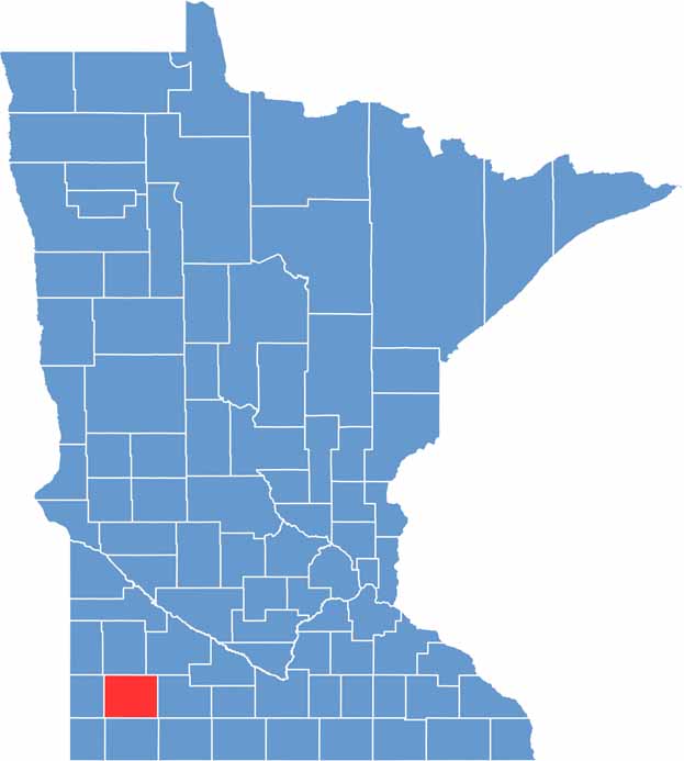

Murray County location map of Minnesota
CategoryDetails
County NameMurray County
County SeatSlayton
PopulationApproximately 8,000
Cities, Towns, and CommunitiesSlayton, Fulda, Lake Wilson, Currie, Chandler, Avoca, Iona, Hadley
Interstates and HighwaysUS 59, MN 30, MN 91
FIPS Code27-101
Total Area (Land and Water)720 square miles (Land: 705 sq mi, Water: 15 sq mi)
Adjacent Counties (and Direction)Lyon County (North), Redwood County (Northeast), Cottonwood County (East), Nobles County (South), Rock County (Southwest), Pipestone County (West)
Time ZoneCentral Time Zone (CT)
StateMinnesota
Coordinates43.9917° N, 95.7669° W
EtymologyNamed after William Pitt Murray, a politician and member of the Minnesota Territorial Legislature
Major LandmarksLake Shetek State Park, End-O-Line Railroad Park & Museum, Murray County Historical Society
Scroll to Top