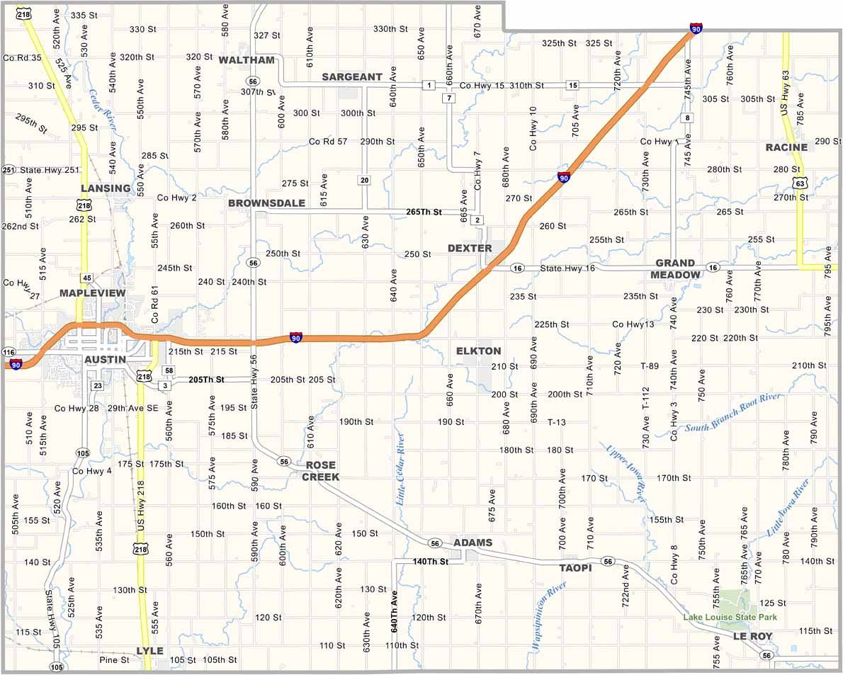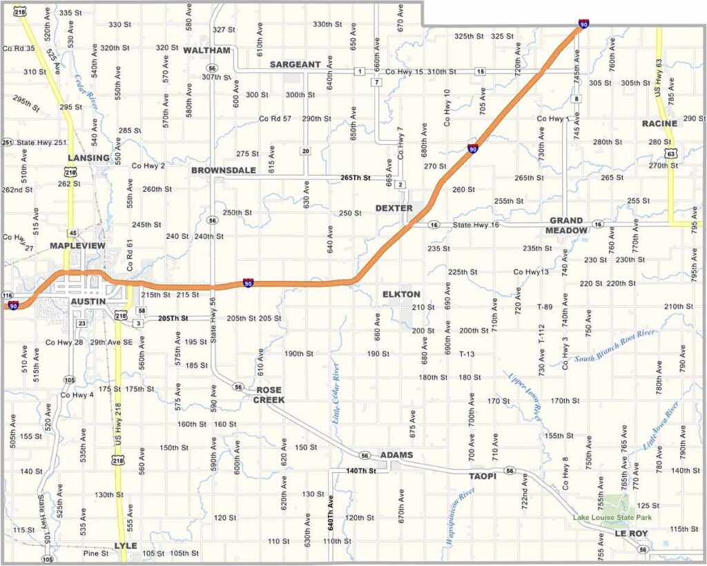
Mower County Map, Minnesota

Mower County, Minnesota

Mower County sits in southeast Minnesota, right on the Iowa border. It's mostly farmland, flat as can be, and the Cedar River runs through it.

Austin is the main town, famous for being the home of SPAM. Downtown, the SPAM Museum features delicious, curated meat exhibits.

Farmers here work land their families have owned for generations, and some folks commute to Rochester for jobs. It's simple country living, but that's its charm. Nothing fancy, just honest Midwest life.
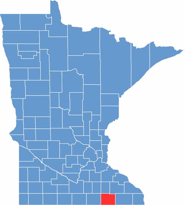

Mower County location map of Minnesota
CategoryDetails
County NameMower County
County SeatAustin
PopulationApproximately 39,000
Cities, Towns, and CommunitiesAustin, Adams, Le Roy, Grand Meadow, Brownsdale, Lyle, Mapleview, Rose Creek, Taopi
Interstates and HighwaysI-90, US 63, MN 56, MN 105
FIPS Code27-099
Total Area (Land and Water)712 square miles (Land: 711 sq mi, Water: 1 sq mi)
Adjacent Counties (and Direction)Dodge County (North), Olmsted County (Northeast), Fillmore County (East), Howard County, Iowa (Southeast), Mitchell County, Iowa (South), Worth County, Iowa (Southwest), Freeborn County (West), Steele County (Northwest)
Time ZoneCentral Time Zone (CT)
StateMinnesota
Coordinates43.6727° N, 92.9746° W
EtymologyNamed after John Edward Mower, a member of the Minnesota Territorial Legislature
Major LandmarksSpam Museum, Hormel Historic Home, Jay C. Hormel Nature Center, Mower County Historical Society
Scroll to Top