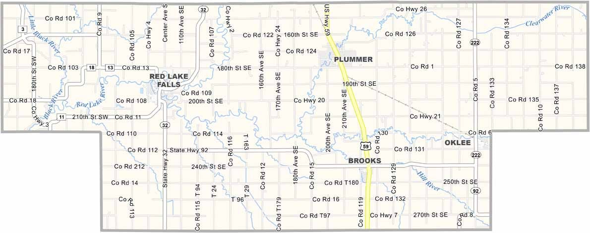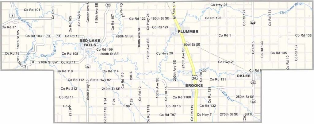
Red Lake County Map, Minnesota

Red Lake County, Minnesota

Red Lake County is one of the least populated counties in Minnesota. It sits way up in the northwest part of the state, close to North Dakota. Small doesn't mean boring, though. This place has character.

Agriculture is the main industry here. The county seat, Red Lake Falls, is where most of the action happens. It's also where the Red Lake River and Clearwater River join forces, creating some pretty sweet views. Visitors love it, and fishing, hunting, and snowmobiling are popular.

The people are friendly, with that classic Midwest charm. History runs deep in these parts, with roots in both Native American and pioneer heritage. Sure, it's not a bustling metropolis, but Red Lake County has plenty of character of its own.
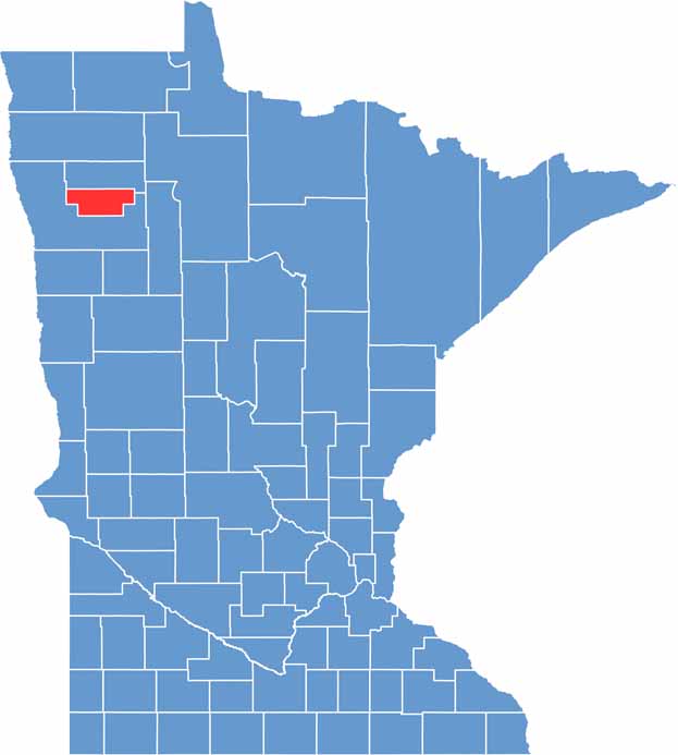

Red Lake County location map of Minnesota
CategoryDetails
County NameRed Lake County
County SeatRed Lake Falls
PopulationApproximately 3,800
Cities, Towns, and CommunitiesRed Lake Falls, Plummer, Brooks, Oklee, Terrebonne
Interstates and HighwaysMN 32, MN 92
FIPS Code27-125
Total Area (Land and Water)432 square miles (Land: 432 sq mi, Water: 0.4 sq mi)
Adjacent Counties (and Direction)Pennington County (North), Polk County (South)
Time ZoneCentral Time Zone (CT)
StateMinnesota
Coordinates47.8787° N, 96.2756° W
EtymologyNamed after the Red Lake River, which flows through the county
Major LandmarksOld Crossing Treaty Park, Red Lake Falls Mill, Voyageur’s View Campsite & Tubing
Scroll to Top