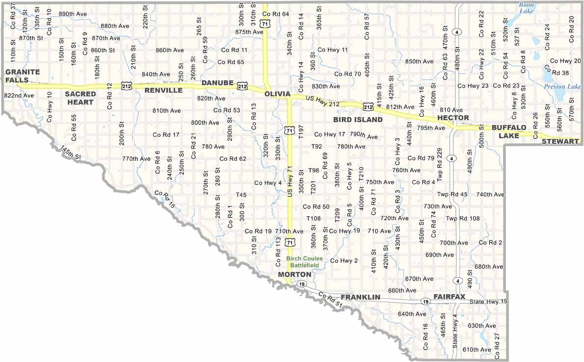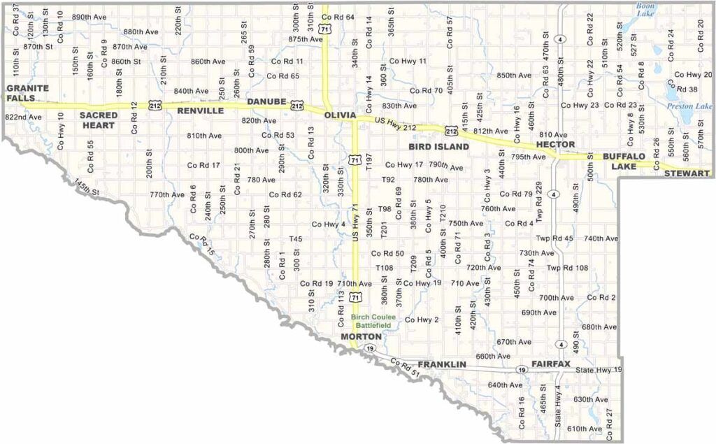
Renville County Map, Minnesota

Renville County, Minnesota

Renville County sits in the southwestern part of Minnesota, about two hours west of the Twin Cities. It's farm country here, with fields of corn and soybeans stretching far and wide, broken up only by the occasional cluster of trees or a lone farmhouse.

The Minnesota River forms the county's northern border, carving out a wide valley that's home to some of the area's best hiking trails. Olivia, the county seat, proudly calls itself the "Corn Capital of the World." No joke. They even have a giant ear of corn statue to prove it.

Small towns across the county come alive with county fairs, tractor pulls, and Friday night football games. There's also a surprising amount of history packed into this quiet corner of Minnesota, from Native American sites to remnants of early settler life.
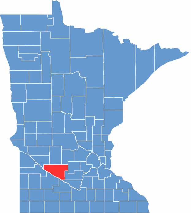

Renville County location map of Minnesota
CategoryDetails
County NameRenville County
County SeatOlivia
PopulationApproximately 14,000
Cities, Towns, and CommunitiesOlivia, Bird Island, Fairfax, Renville, Sacred Heart, Danube, Buffalo Lake, Hector
Interstates and HighwaysUS 71, US 212, MN 19, MN 4
FIPS Code27-129
Total Area (Land and Water)987 square miles (Land: 983 sq mi, Water: 4 sq mi)
Adjacent Counties (and Direction)Kandiyohi County (North), Meeker County (Northeast), McLeod County (East), Sibley County (Southeast), Nicollet County (Southeast), Brown County (South), Redwood County (Southwest), Yellow Medicine County (West), Chippewa County (Northwest)
Time ZoneCentral Time Zone (CT)
StateMinnesota
Coordinates44.7302° N, 95.0322° W
EtymologyNamed after Joseph Renville, a fur trader and interpreter of the Dakota language
Major LandmarksBirch Coulee Battlefield, Renville County Historical Society, Beaver Falls County Park
Scroll to Top