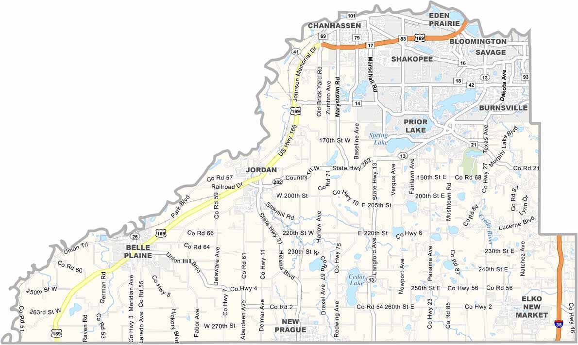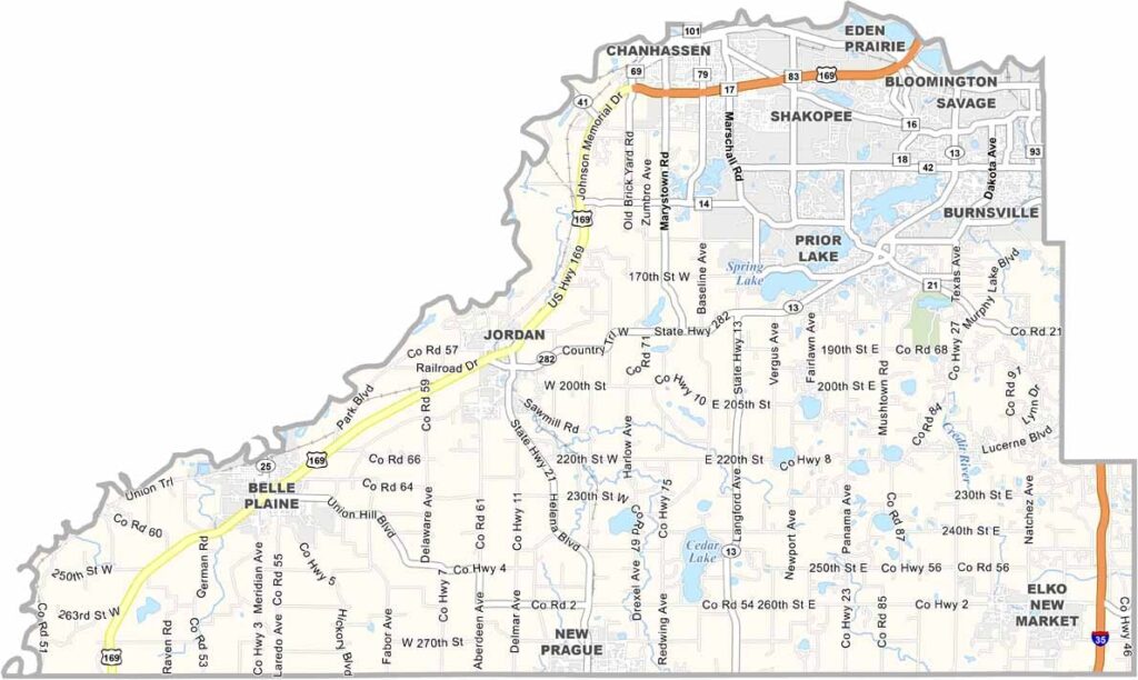
Scott County Map, Minnesota

Scott County, Minnesota

Scott County sits just southwest of the Twin Cities. Shakopee, the county seat, is home to Valleyfair, the largest amusement park in the Upper Midwest. Thrill-seekers love it here, but there's more to Scott County than roller coasters.

The county has a rich history, and the Shakopee Mdewakanton Sioux Community shares its culture through powwows and the impressive Mystic Lake Casino. The Minnesota River forms the county's northern border.

Farms are all over the landscape, keeping the area's agricultural roots alive. You'll find apple orchards, pumpkin patches, and even a few wineries. It's a place with suburban convenience and rural charm.
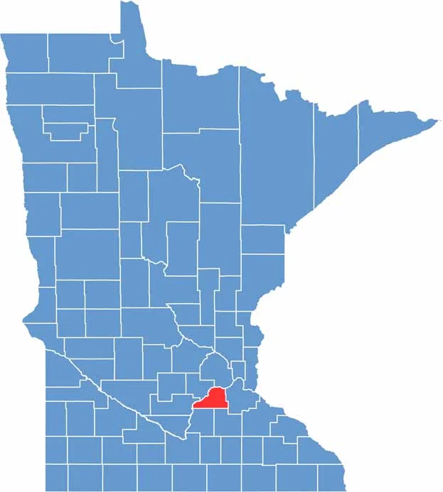

Scott County location map of Minnesota
CategoryDetails
County NameScott County
County SeatShakopee
PopulationApproximately 170,000
Cities, Towns, and CommunitiesShakopee, Savage, Prior Lake, Jordan, Belle Plaine, New Prague, Elko New Market, Credit River, Sand Creek
Interstates and HighwaysI-35, US 169, MN 13, MN 21, MN 282
FIPS Code27-139
Total Area (Land and Water)368 square miles (Land: 356 sq mi, Water: 12 sq mi)
Adjacent Counties (and Direction)Hennepin County (North), Dakota County (East), Rice County (Southeast), Le Sueur County (Southwest), Sibley County (West), Carver County (Northwest)
Time ZoneCentral Time Zone (CT)
StateMinnesota
Coordinates44.6474° N, 93.5638° W
EtymologyNamed after General Winfield Scott, a prominent military figure in American history
Major LandmarksMystic Lake Casino, Valleyfair Amusement Park, Canterbury Park, Minnesota Renaissance Festival
Scroll to Top