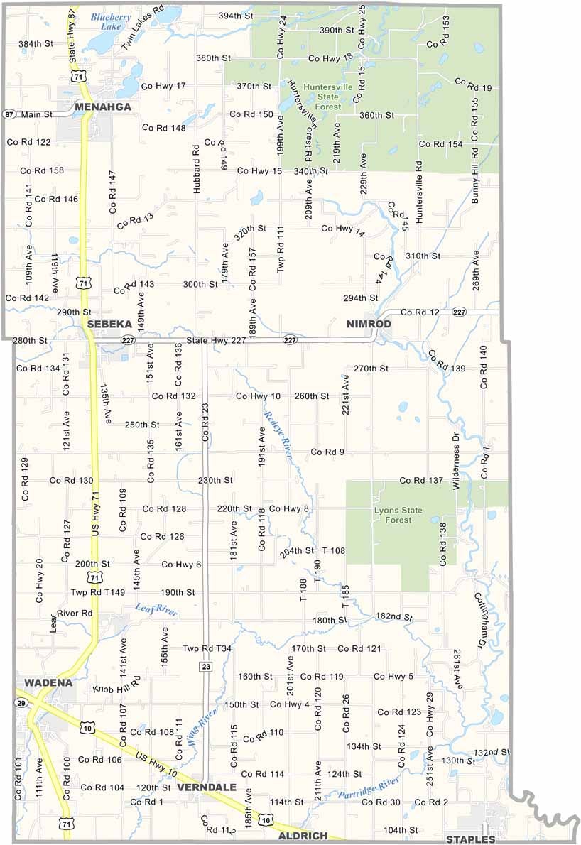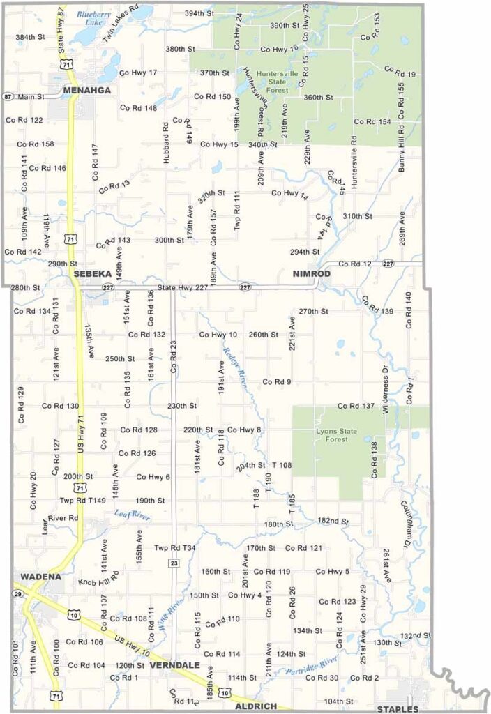
Wadena County Map, Minnesota

Wadena County, Minnesota

In the heart of central Minnesota lies Wadena County. It's not a flashy county, but it has plenty of soul. Pine forests and clear lakes are common throughout its two state forests.

The county seat, Wadena, feels like stepping back in time with its historic downtown and friendly faces. The people here are hardworking, no-nonsense, and always ready to lend a hand.

Summers are a buzz of activity, from fishing tournaments to the county fair. Let's not talk about the winters, though. Farming drives the economy.
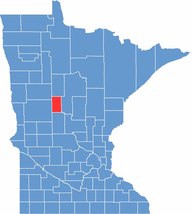

Wadena County location map of Minnesota
CategoryDetails
County NameWadena County
County SeatWadena
PopulationApproximately 13,500
Cities, Towns, and CommunitiesWadena, Staples, Sebeka, Menahga, Verndale, Nimrod
Interstates and HighwaysUS 10, US 71, MN 87, MN 227
FIPS Code27-159
Total Area (Land and Water)543 square miles (Land: 536 sq mi, Water: 7 sq mi)
Adjacent Counties (and Direction)Hubbard County (North), Cass County (East), Todd County (South), Otter Tail County (Southwest), Becker County (Northwest)
Time ZoneCentral Time Zone (CT)
StateMinnesota
Coordinates46.6145° N, 95.0567° W
EtymologyNamed after the town of Wadena, which was named for a trading post or for an Ojibwe word meaning “little round hill”
Major LandmarksHuntersville State Forest, Leaf River, Whitetail Run Golf Course, Spirit Lake
Scroll to Top