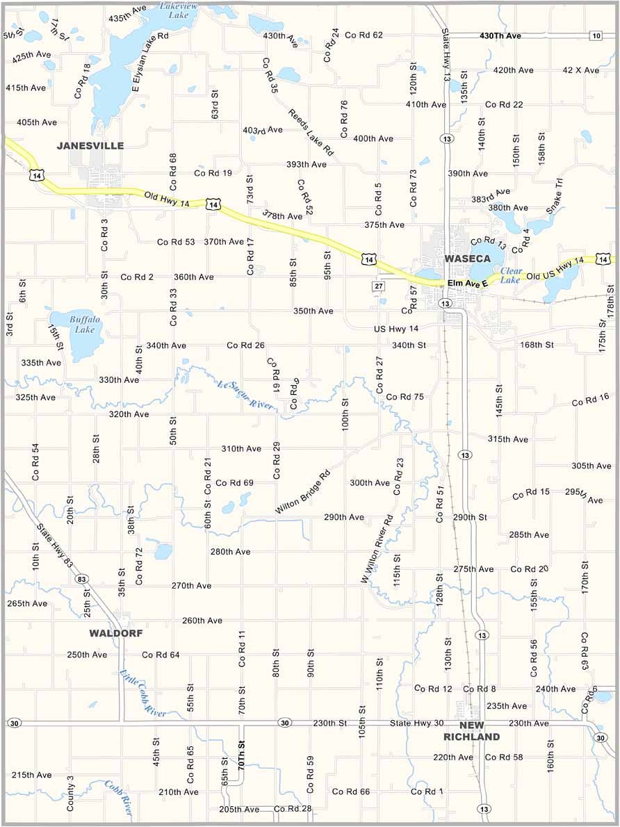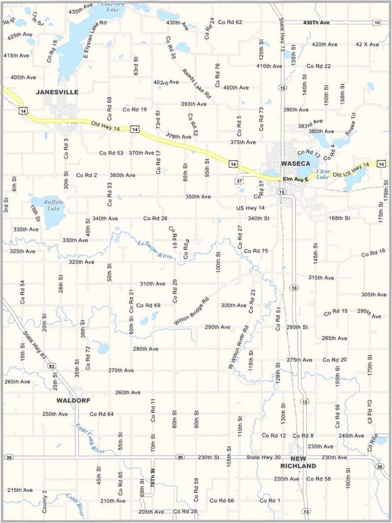
Waseca County Map, Minnesota

Waseca County, Minnesota

About an hour south of the Twin Cities, Waseca County offers a slice of Minnesota that's pure Midwest. Farming keeps the local economy humming, with the occasional dairy farm and small town scattered across the landscape.

The county seat, also called Waseca, is the kind of place where everybody knows everybody. Folks here are quick with a friendly wave or a chat.

Summers run hot and humid, which makes Clear Lake beach the perfect place to spend a day. From the peaceful Courthouse Park to the fairgrounds, the county has a little bit of everything.
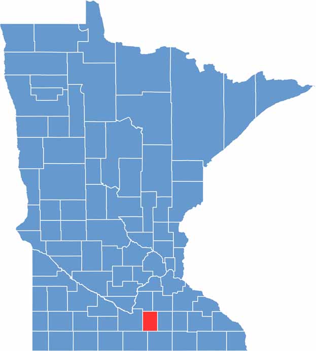

Waseca County location map of Minnesota
CategoryDetails
County NameWaseca County
County SeatWaseca
PopulationApproximately 18,500
Cities, Towns, and CommunitiesWaseca, Janesville, New Richland, Waldorf, Otisco
Interstates and HighwaysUS 14, MN 13, MN 60, MN 83
FIPS Code27-161
Total Area (Land and Water)433 square miles (Land: 423 sq mi, Water: 10 sq mi)
Adjacent Counties (and Direction)Rice County (Northeast), Steele County (East), Freeborn County (Southeast), Faribault County (Southwest), Blue Earth County (West), Le Sueur County (Northwest)
Time ZoneCentral Time Zone (CT)
StateMinnesota
Coordinates44.0138° N, 93.5877° W
EtymologyNamed after the Dakota word “Waseca,” meaning “rich”
Major LandmarksClear Lake Park, Farmamerica, Waseca Water Park, Courthouse Par
Scroll to Top