
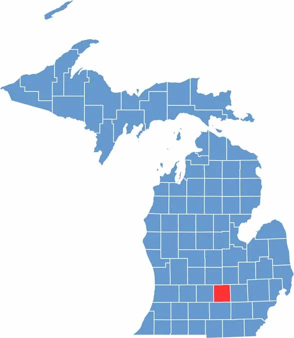
Ingham County sits in the middle of Michigan’s Lower Peninsula. It’s home to Lansing, the state capital, and Michigan State University. Locals love the mix of city and rural life.
Winters are cold, while summers are perfect for kayaking on the Grand River. The county has a rich history, from Native American settlements to auto industry booms.
People head to Lake Lansing for fishing and hiking. You’ll find art museums and breweries in the cities, while the countryside is all about corn fields and fishing spots.
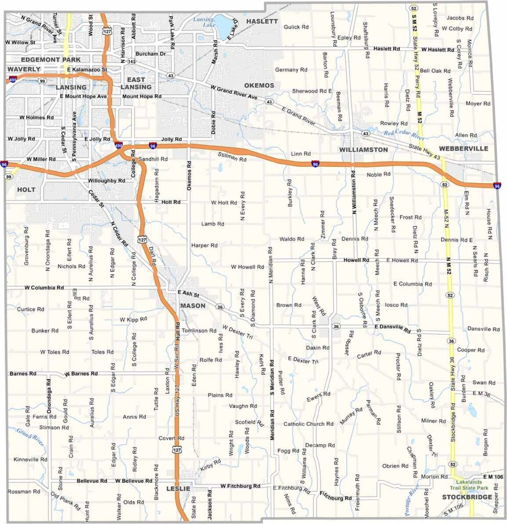
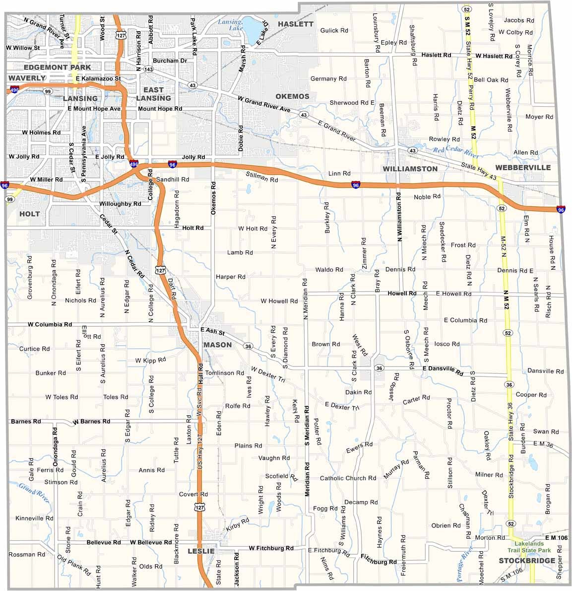
Use our zoom tool on the road map below to see each highway clearly. I-96 runs along the north, while US-127 cuts straight through the county. Although traffic can stack up near Lansing, the highways generally stay efficient.
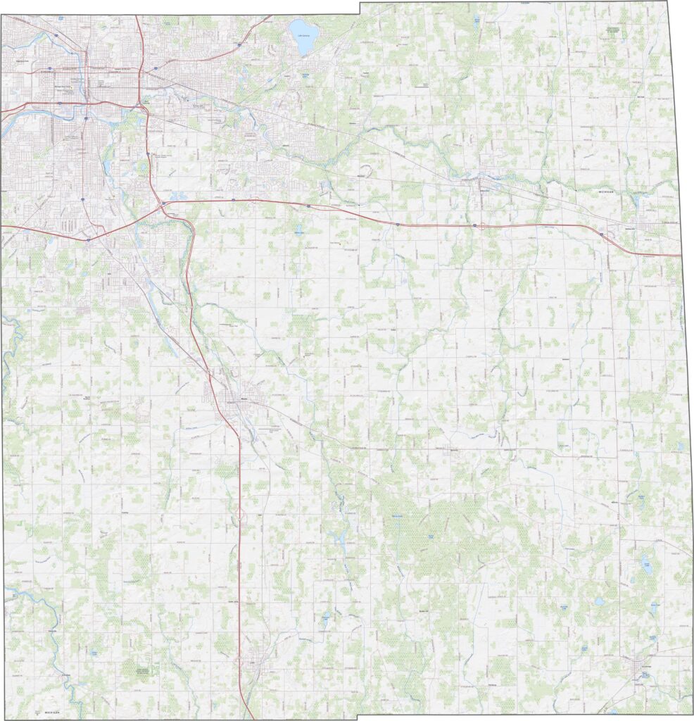
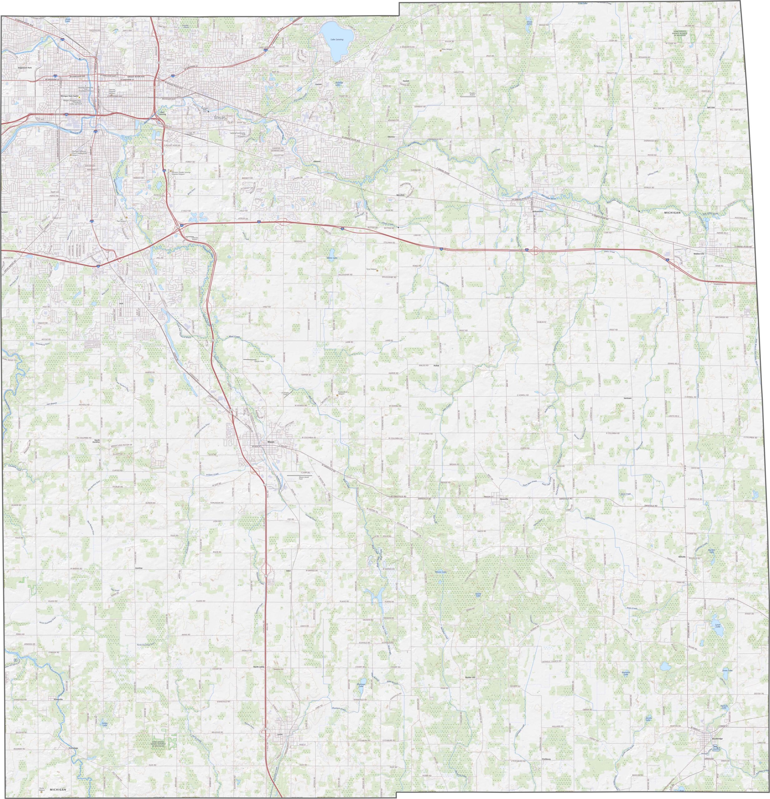
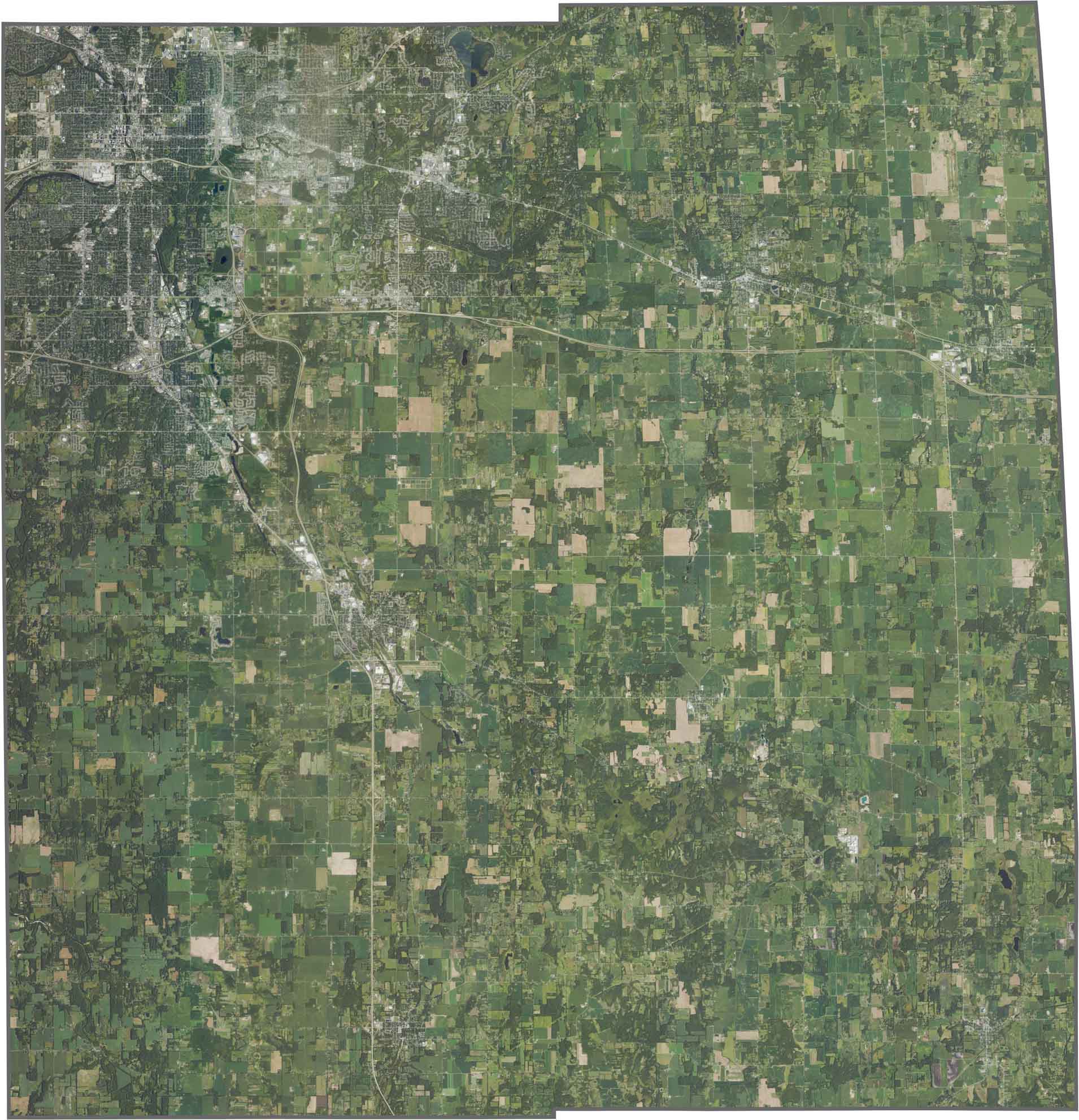
Cities and suburbs cluster tightly around Lansing. While farmland covers much of the southern half, pockets of woods are scattered throughout. The Red Cedar River cuts through the area, adding a green thread across the cityscape.
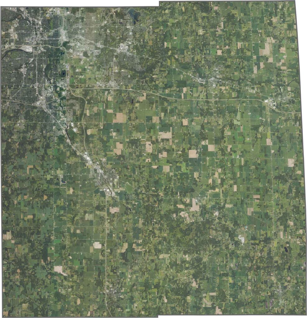
Ingham County has a neat, mostly square shape. No river forms its border, and it doesn’t meet another state.








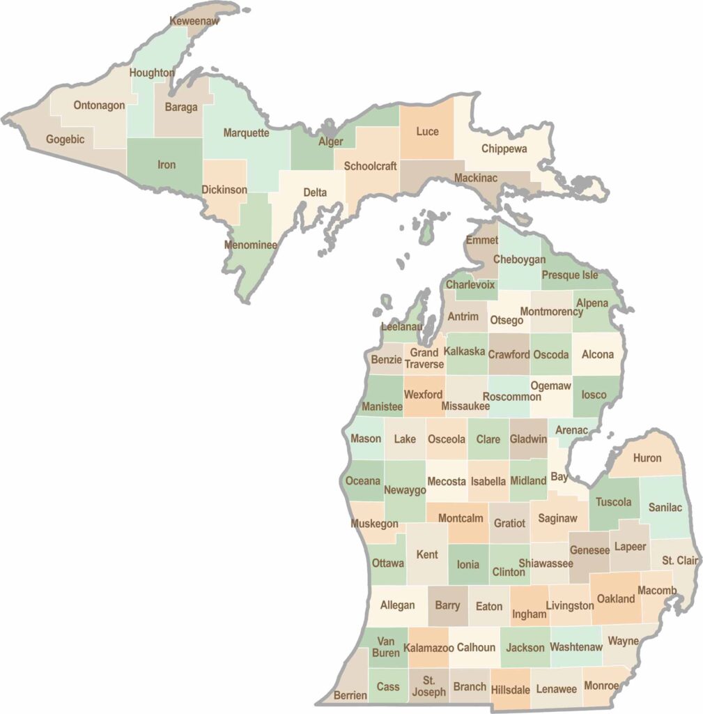
From Motown to moose sightings, Michigan’s 83 counties offer an impressive mix of urban energy, natural beauty, and outdoor adventure. Detroit celebrates its legendary Motown music heritage, while Ann Arbor brings a lively college-town atmosphere shaped by the University of Michigan. From the shores of the Great Lakes to the forests of the Upper Peninsula, the Mitten State delivers a diverse landscape filled with history, culture, and scenic attractions.