
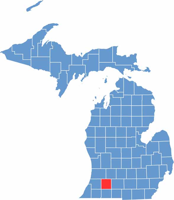
In the southwest corner of Michigan lies Kalamazoo County, a place with more character than its quirky name might suggest. Home to about 265,000 people, it blends urban energy with rural beauty.
Kalamazoo is the county seat, a college town that punches above its weight in arts and culture. Small towns like Portage and Vicksburg bring their own unique flavors to the area.
The county boasts an impressive beer scene, with microbreweries galore. There are also numerous parks and lakes, while agriculture still plays a big role here.
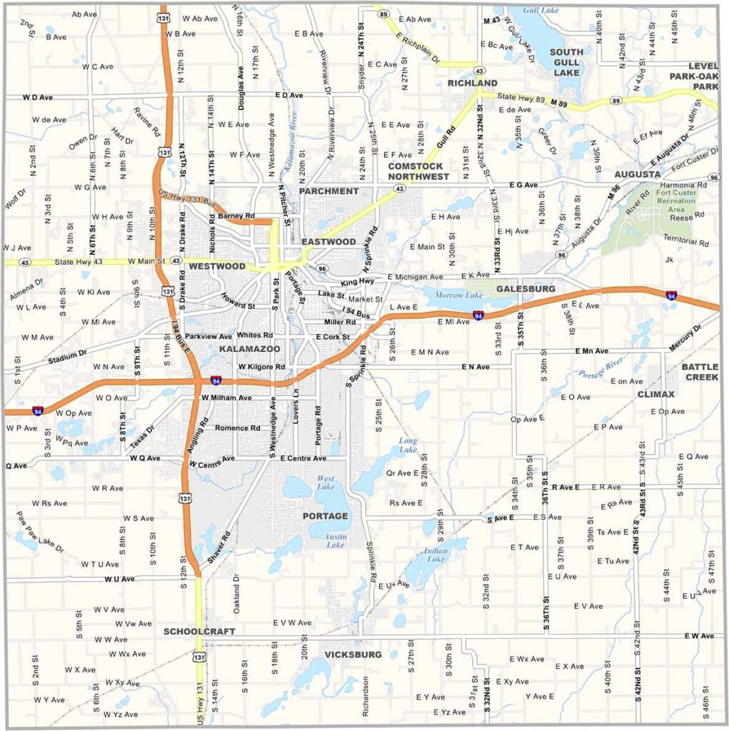
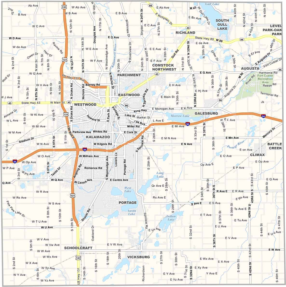
Explore Kalamazoo County with our road map, designed to make travel easy. I-94 cuts across the county from west to east, while even the county roads stay busy, especially near the city. Zoom in on our road map to see every detail.
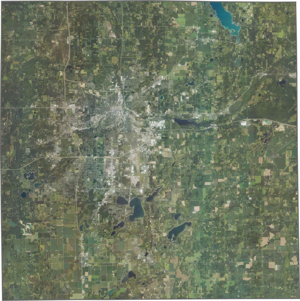
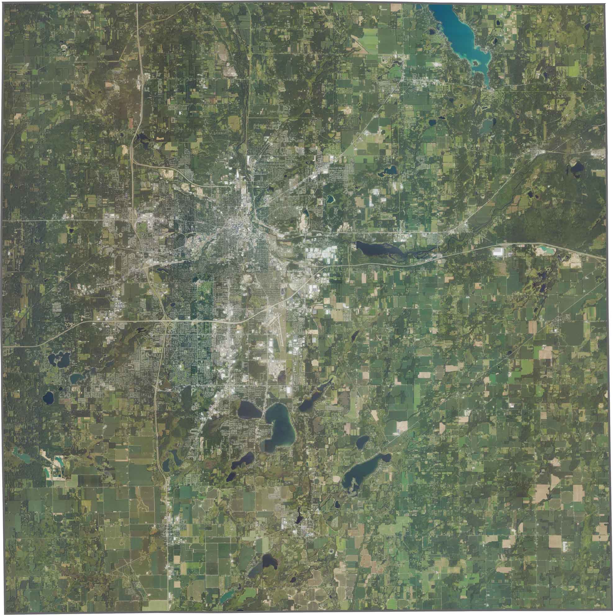
Urban development is concentrated around Kalamazoo, but farmland quickly takes over farther out. While fields dominate much of the view, patches of thick forest appear throughout the landscape. Rivers and lakes stand out as bright spots on the satellite view, especially South Gull Lake.
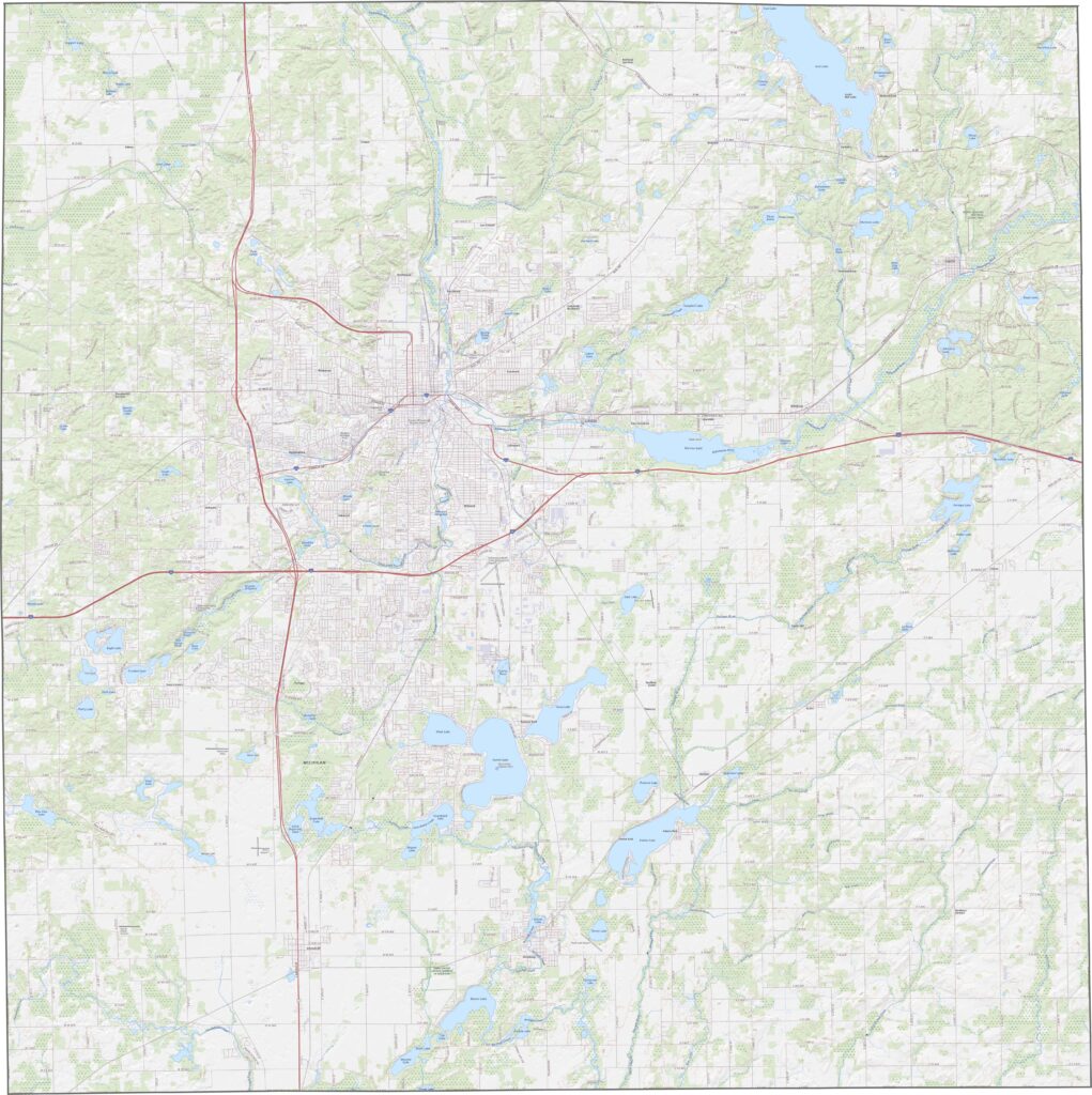
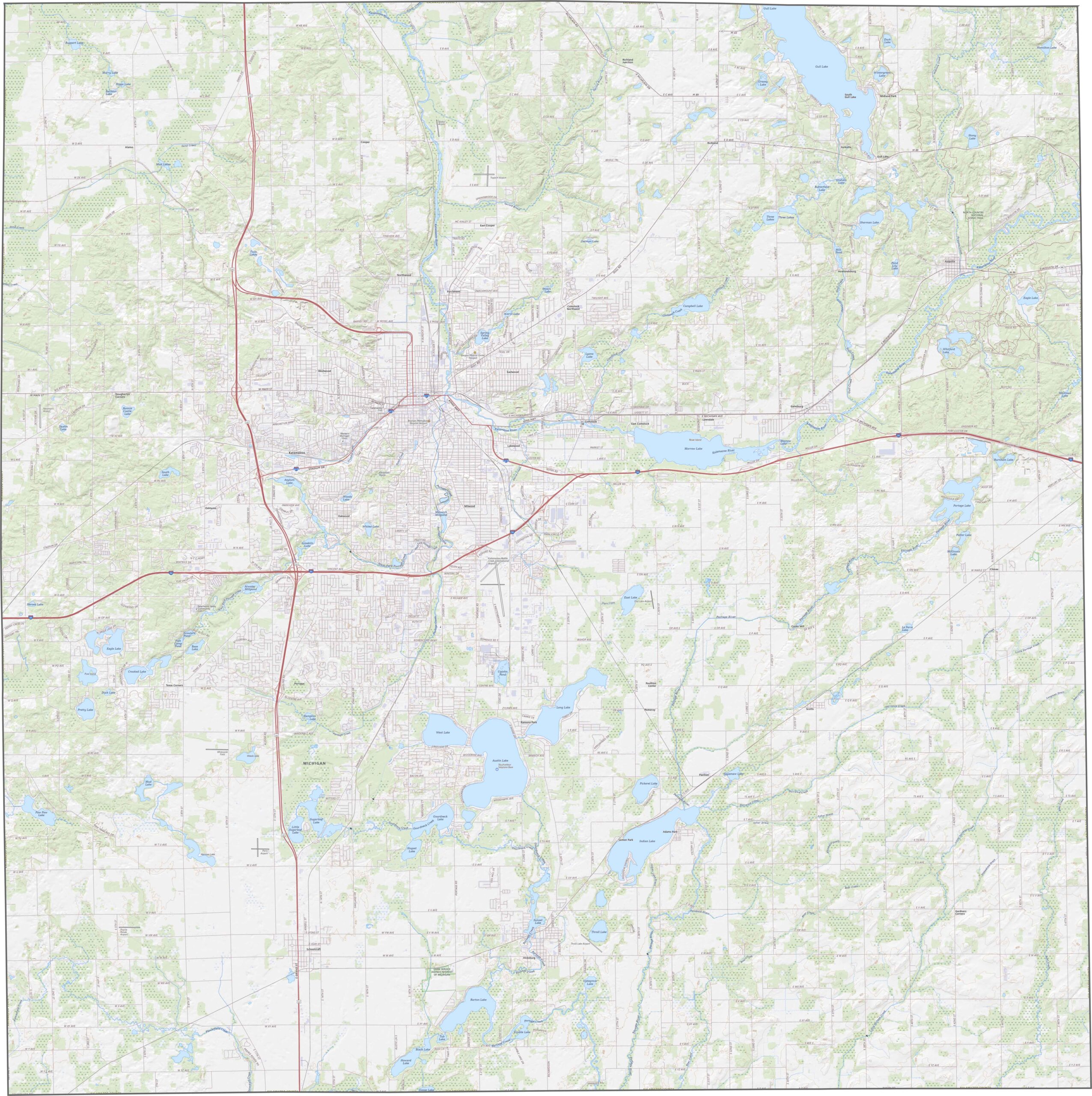
Kalamazoo County has a boxy shape with only minor bends. No rivers or lakes form its borders, and it doesn’t touch another state.








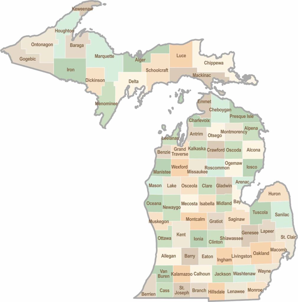
From Motown to moose sightings, Michigan’s 83 counties offer an impressive mix of urban energy, natural beauty, and outdoor adventure. Detroit celebrates its legendary Motown music heritage, while Ann Arbor brings a lively college-town atmosphere shaped by the University of Michigan. From the shores of the Great Lakes to the forests of the Upper Peninsula, the Mitten State delivers a diverse landscape filled with history, culture, and scenic attractions.