
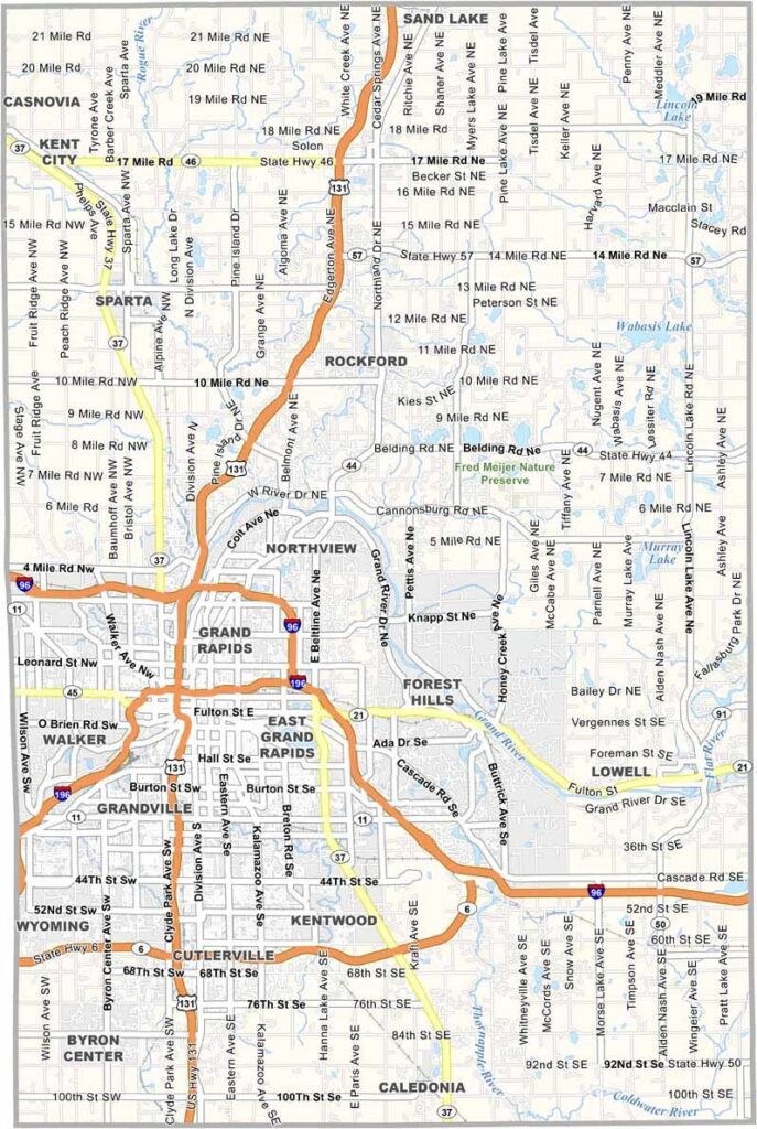
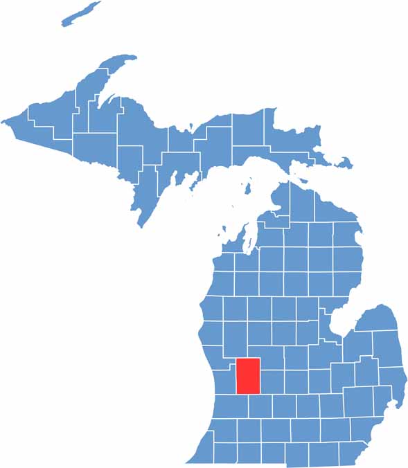
Michigan’s fourth-most populous county blends urban excitement with rural charm. Kent County is home to Grand Rapids, located in the western part of the state’s Lower Peninsula.
It’s got a little bit of everything. The Grand River winds through the heart of the region, shaping both its landscape and history. There are also numerous parks and trails to explore.
Kent County’s rich agricultural heritage is still alive and well, with farmers’ markets and U-pick farms throughout the area. If you’re looking to escape the chaos of city life, Kent County might just be your ticket to tranquility.
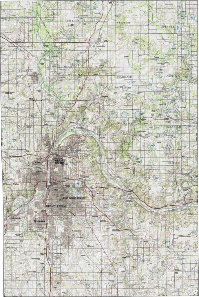
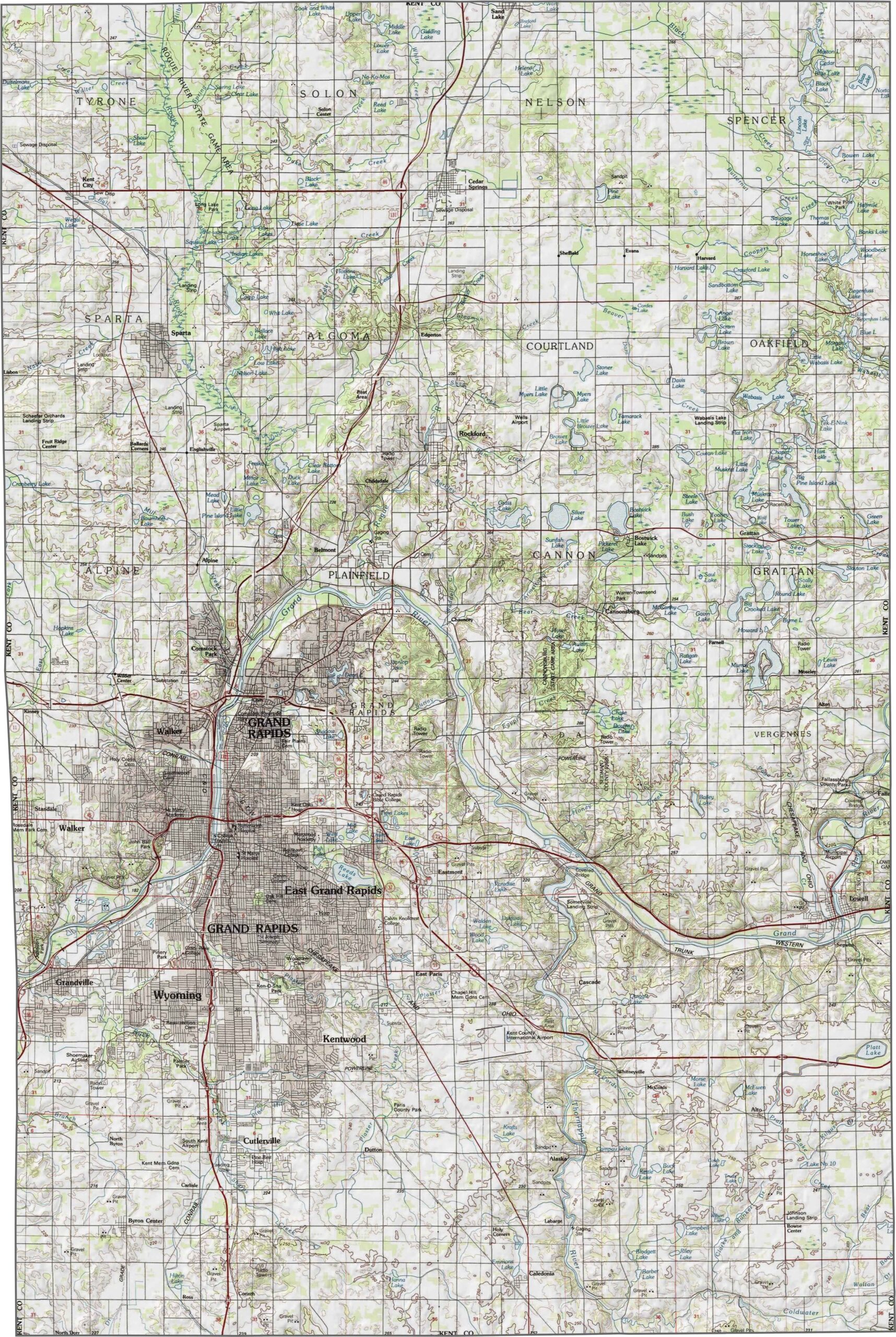
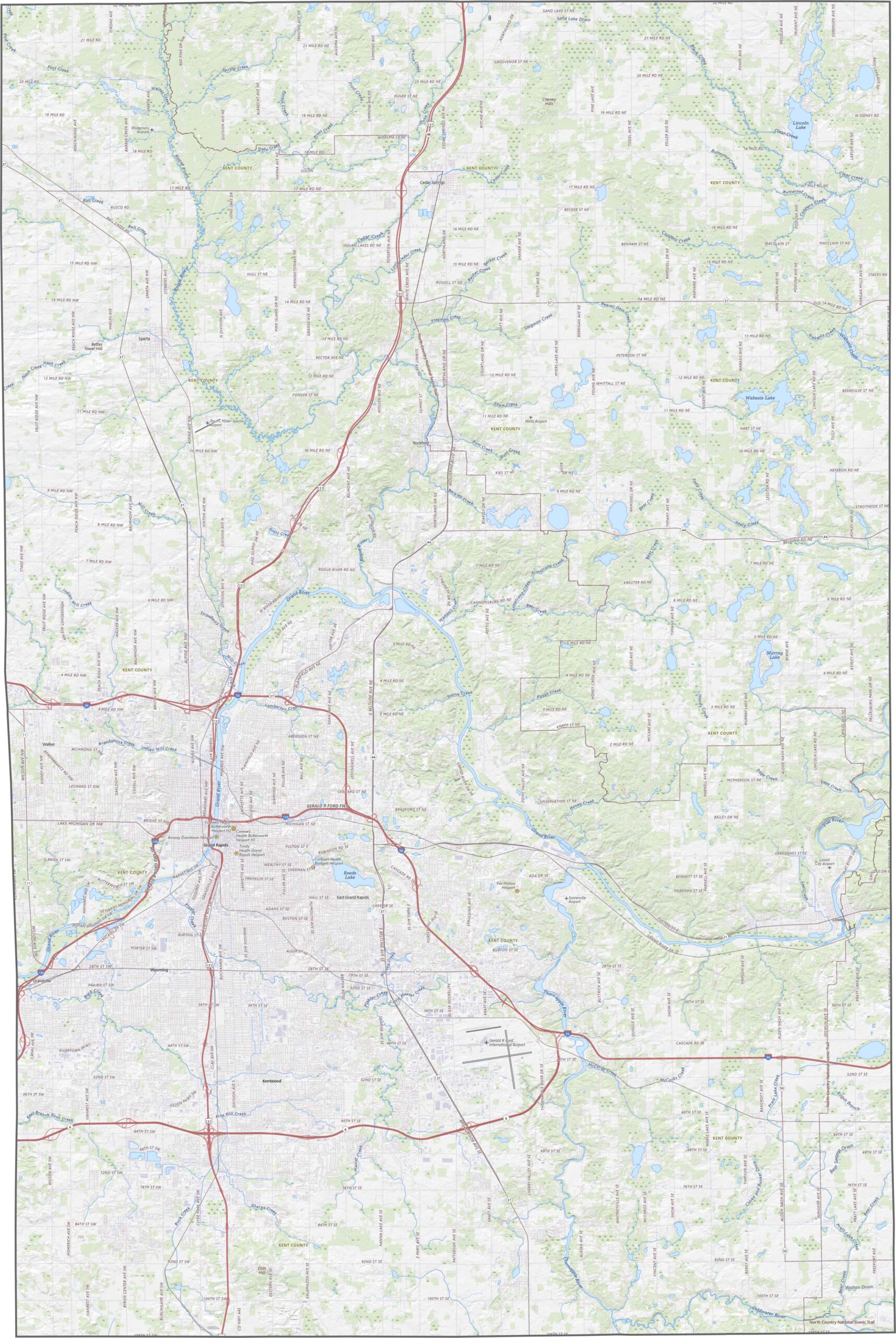
Our Kent County topographic map highlights its gentle hills and river valleys. Flat farmland covers the outskirts, while the land dips and rises closer to the Grand River. Forested areas fill in the gaps. You can zoom into our topographic map for a closer look.
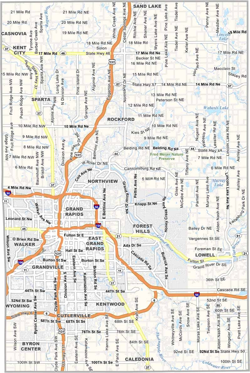
Kent County has a busy highway network. US-131 runs straight through the middle, heading north and south. I-196 cuts across the northwest, connecting Grand Rapids to the lakeshore. Even when traffic gets heavy, there are plenty of options.
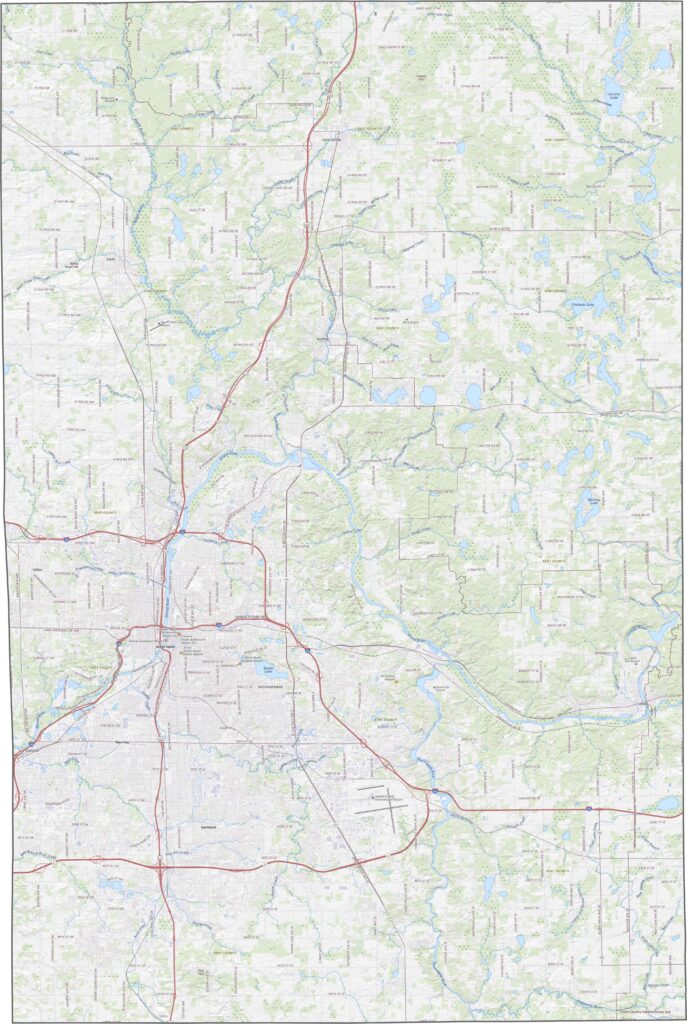
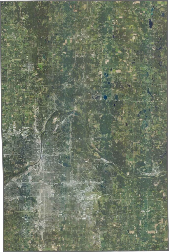
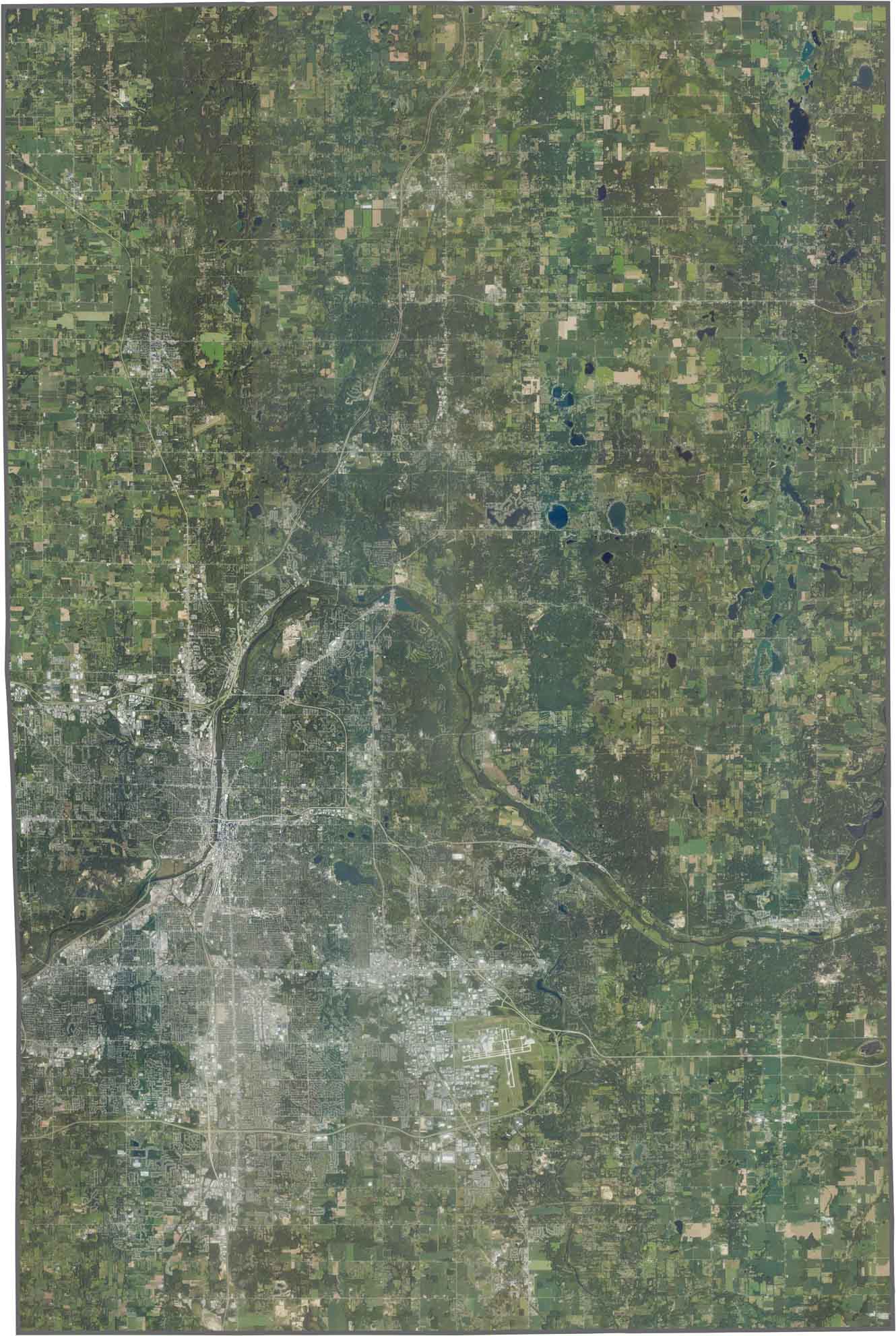
Grand Rapids dominates the satellite view with a dense urban core. While city blocks are packed closely together, the surrounding farmland and wooded areas break up the landscape.
Kent County has a blocky outline, though its edges aren’t perfectly straight. While the Grand River crosses the county, it doesn’t form its borders. Kent County also doesn’t touch another state and is surrounded only by neighboring Michigan counties.








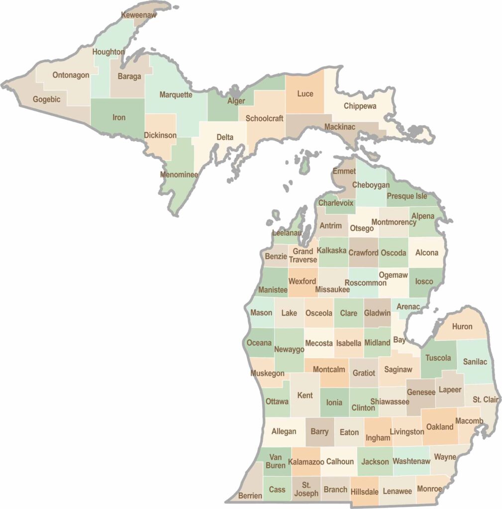
From Motown to moose sightings, Michigan’s 83 counties offer an impressive mix of urban energy, natural beauty, and outdoor adventure. Detroit celebrates its legendary Motown music heritage, while Ann Arbor brings a lively college-town atmosphere shaped by the University of Michigan. From the shores of the Great Lakes to the forests of the Upper Peninsula, the Mitten State delivers a diverse landscape filled with history, culture, and scenic attractions.