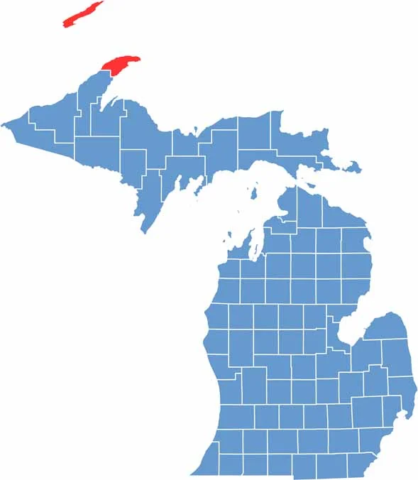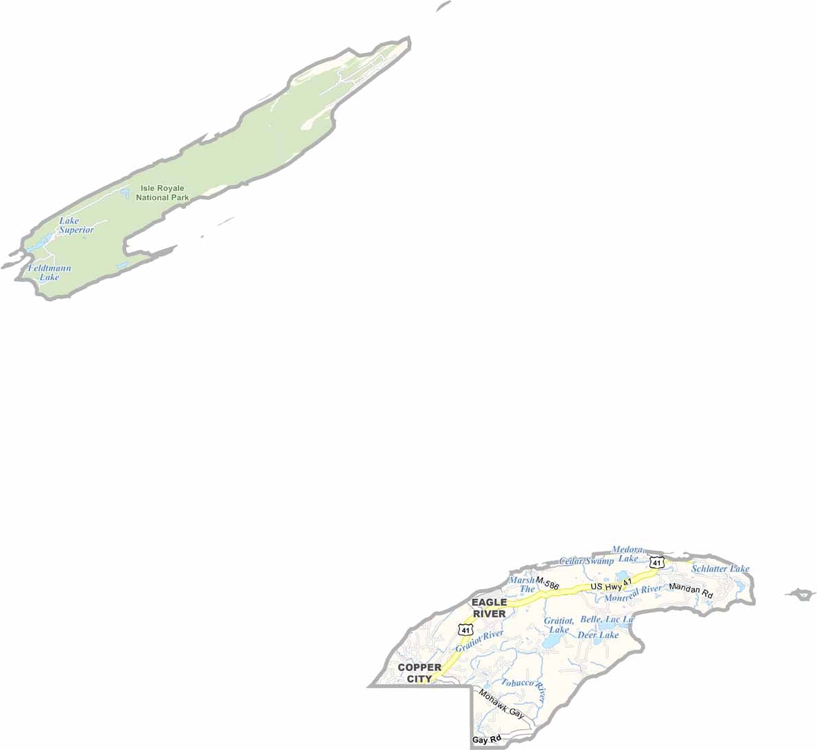
Keweenaw County, Michigan’s northernmost county, juts into Lake Superior like a rugged, rocky peninsula. It is a place of striking natural beauty and rich history, with Lake Superior’s icy waters shaping the local climate and bringing heavy lake-effect snow each winter.
Copper mining once fueled this remote peninsula, leaving behind ghost towns, historic sites, and abandoned mine shafts. Today, nature has reclaimed much of the landscape, with thick forests covering the land and providing habitat for moose and black bears.
Adventure seekers flock to Keweenaw County for its excellent hiking, mountain biking, and kayaking opportunities. In autumn, the forests burst into brilliant colors, attracting leaf-peepers from across the Midwest. Despite its remote setting, the county remains home to a small but resilient population that keeps its local traditions and community spirit alive.