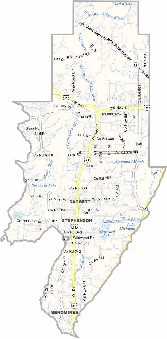
Menominee County Map, Michigan

Menominee County, Michigan

Menominee County sits at the southern tip of Michigan’s Upper Peninsula, hugging the Wisconsin border. It’s a place where forests meet the shores of Lake Michigan.

Fishing here is legendary. Just ask any local about the walleye or bass. Hikers and campers head to the Escanaba State Forest, which covers a big chunk of the county.

The county is named after the Menominee people, who have called this land home for centuries. And let’s be honest, any place where you can potentially see the Northern Lights from your backyard is pretty darn special.
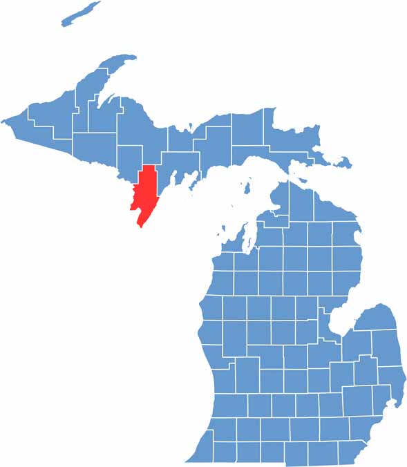

Menominee County location map of Michigan
CategoryDetails
County NameMenominee County
County SeatMenominee
Cities, Towns, and CommunitiesMenominee, Stephenson, Carney, Daggett, Powers, Hermansville, Spalding
Interstates and HighwaysUS 2, US 41
FIPS Code26-109
Total Area (Land and Water)1,338 square miles (Land: 1,044 sq mi, Water: 294 sq mi)
Adjacent Counties (and Direction)Dickinson County (Northwest), Marquette County (North), Delta County (Northeast)
Time ZoneCentral Time Zone (CT)
StateMichigan
Coordinates45.2590° N, 87.5808° W
EtymologyNamed after the Menominee Native American tribe
Major LandmarksJohn Henes Park, Menominee North Pier Lighthouse, J.W. Wells State Park, DeYoung Family Zoo
PopulationApproximately 23,000
Scroll to Top