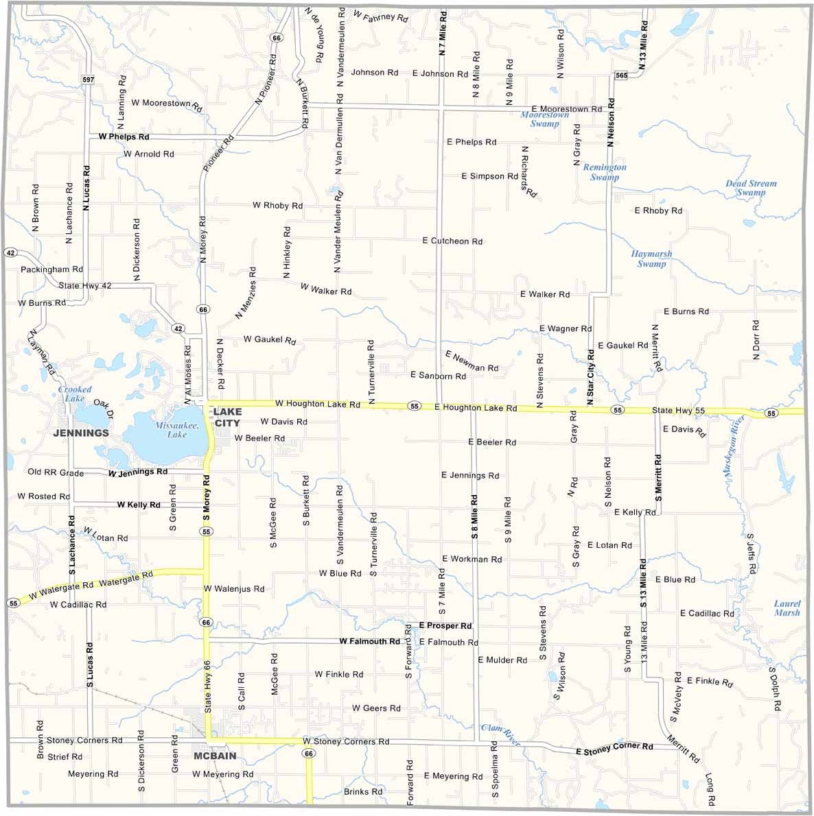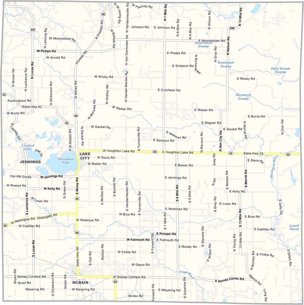
Missaukee County Map, Michigan

Missaukee County, Michigan

Missaukee County is a square-shaped county in Michigan’s Lower Peninsula. It’s pure small-town Michigan at its finest. Lake City, the county seat, lives up to its name with a beautiful lake right in town.

Fishing is big here. Locals swear by the bass in Lake Missaukee. The county has plenty of farms and forests. It’s quiet here, but that’s part of the charm.

From the historic buildings in McBain to the tranquil waters of the Muskegon River, Missaukee County has a little bit of everything.
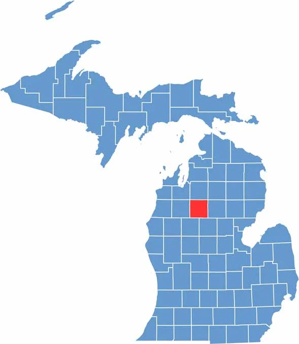

Missaukee County location map of Michigan
CategoryDetails
County NameMissaukee County
County SeatLake City
Cities, Towns, and CommunitiesLake City, McBain, Moorestown, Falmouth, Vogel Center
Interstates and HighwaysM-55, M-66
FIPS Code26-113
Total Area (Land and Water)574 square miles (Land: 565 sq mi, Water: 9 sq mi)
Adjacent Counties (and Direction)Kalkaska County (North), Crawford County (Northeast), Roscommon County (East), Clare County (Southeast), Osceola County (Southwest), Wexford County (West), Grand Traverse County (Northwest)
Time ZoneEastern Time Zone (ET)
StateMichigan
Coordinates44.3383° N, 85.1487° W
EtymologyNamed for Missaukee, an Ottawa leader who signed land-grant treaties in 1831 and 1833
Major LandmarksLake Missaukee, Deadman’s Hill Scenic Overlook, Missaukee Mountain, Riverside Park
PopulationApproximately 16,000
Scroll to Top