
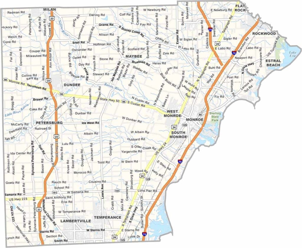
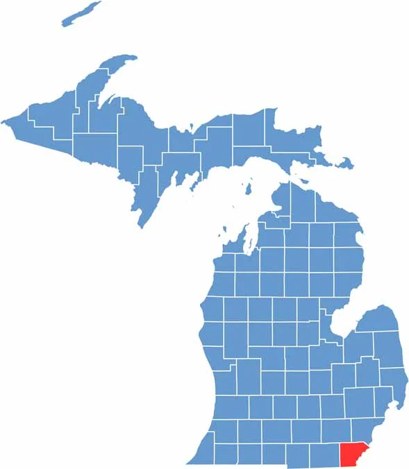
Monroe County stretches along Michigan’s southeastern edge, bordering Toledo, Ohio, directly to the south.
This place is steeped in history. It’s where the Battle of Frenchtown took place during the War of 1812. The River Raisin National Battlefield Park helps tell that story.
But Monroe County isn’t stuck in the past. It has a thriving arts scene, while fishing is also a big draw, whether you’re casting a line from the shore or heading out on a charter boat.
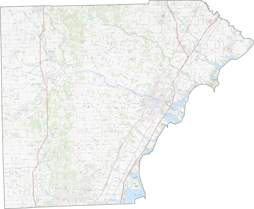
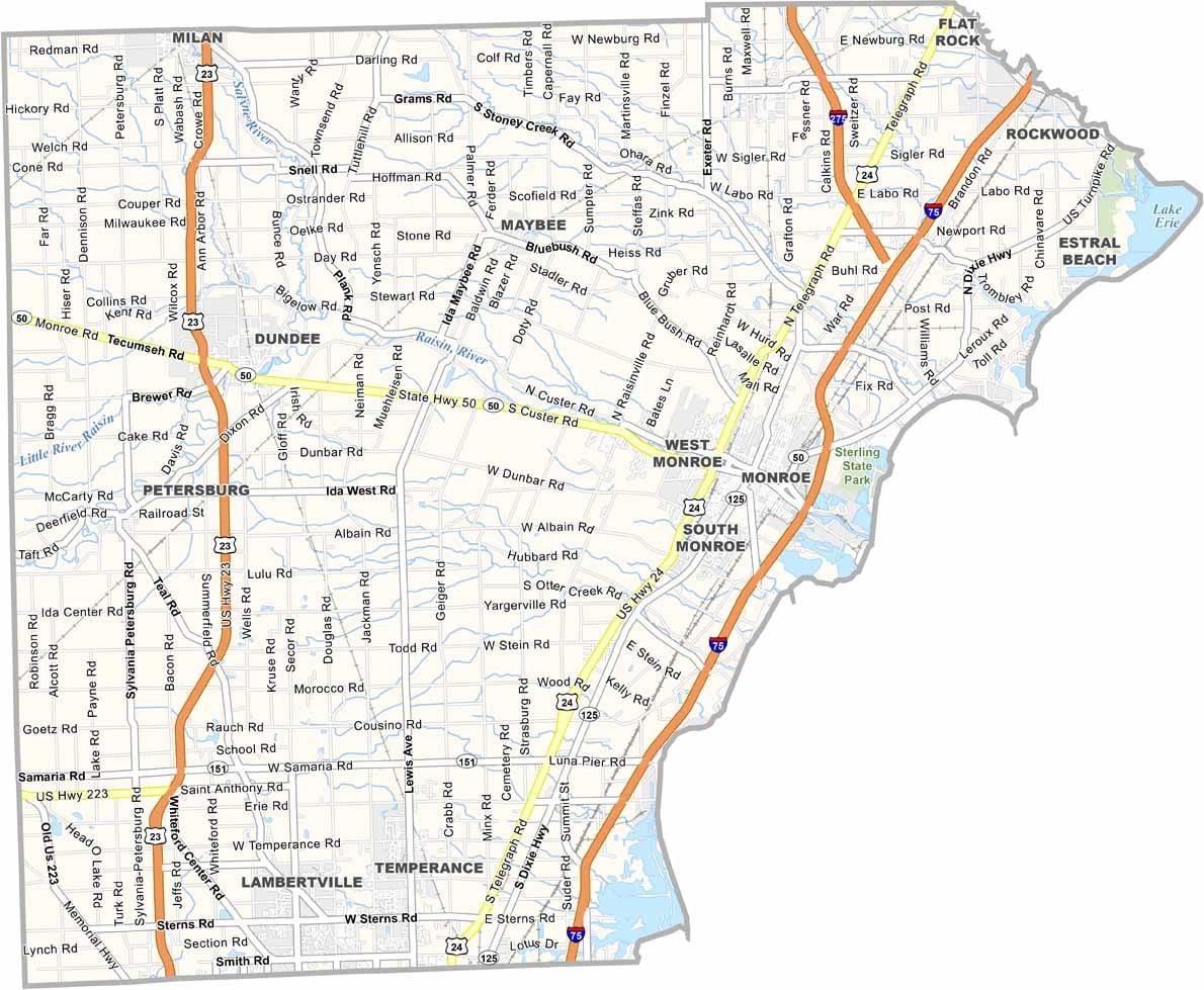
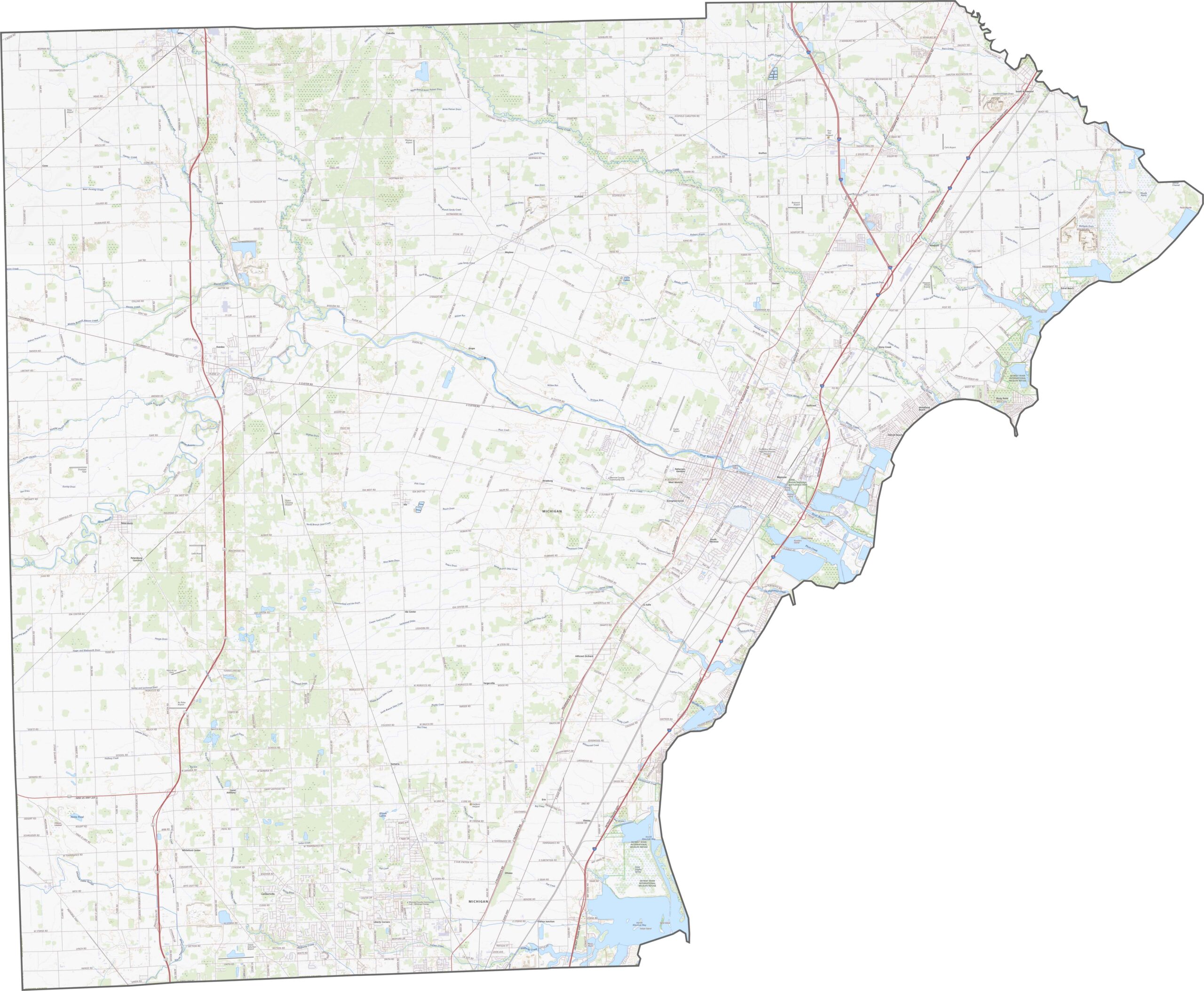
Monroe County has several major highways, including I-75, US-23, and M-50. Try our zoom tool on the map below to see every route clearly.
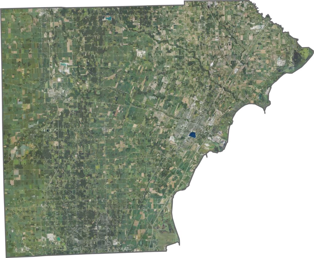
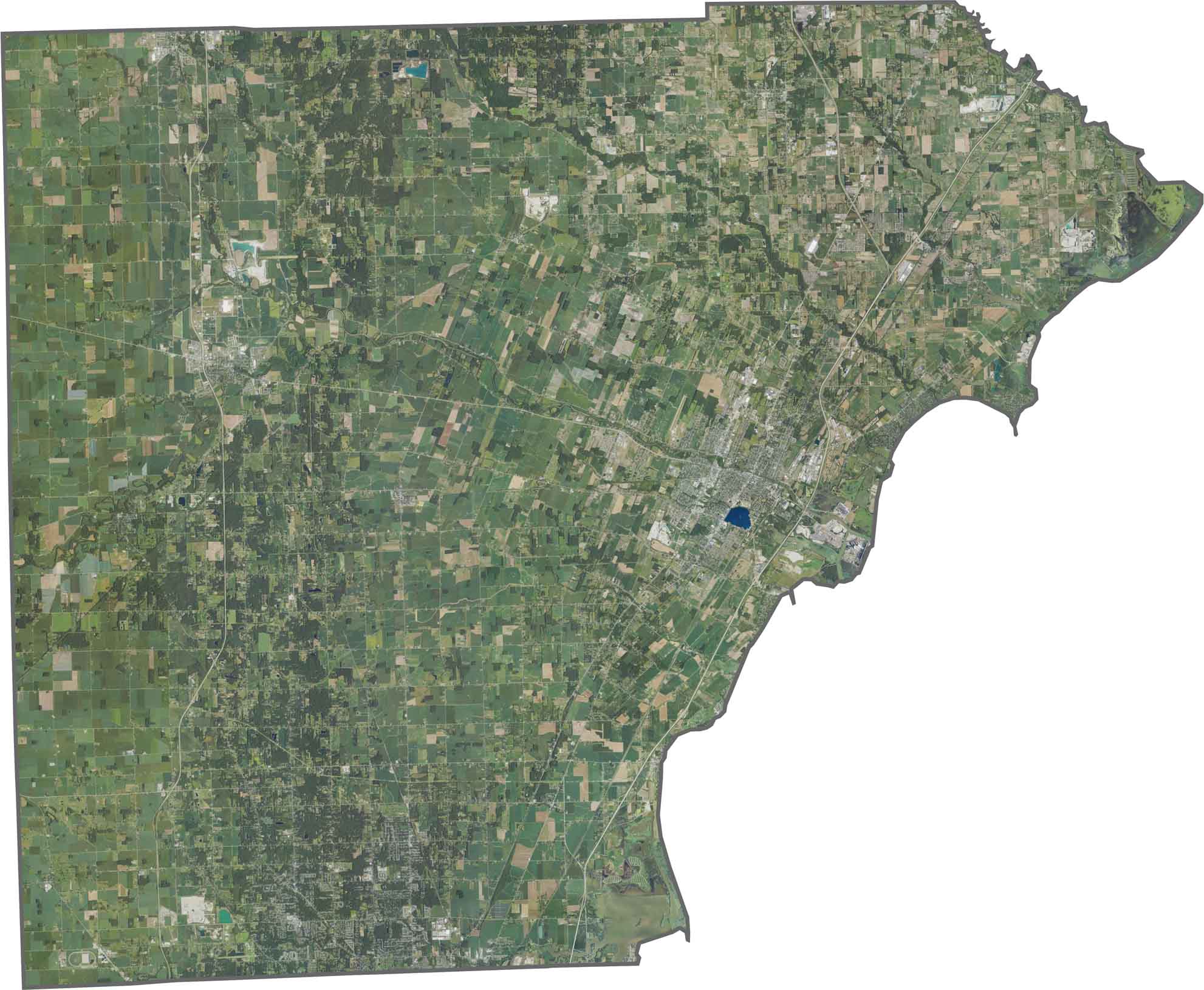
Our Monroe County satellite map shows a striking contrast. While farmland dominates the west, neighborhoods cluster closer to the lake. Lake Erie stands out along the eastern edge, with wide marshlands nearby.
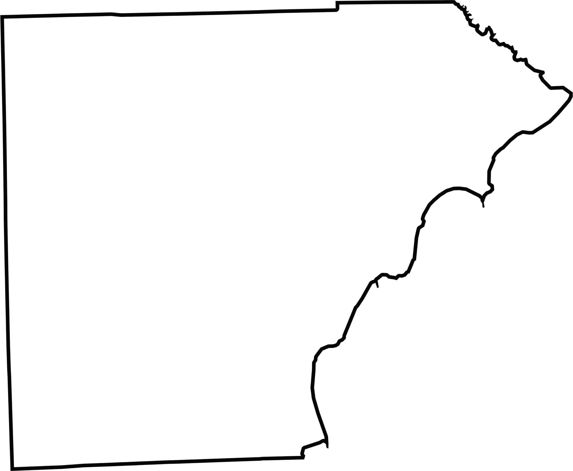
Monroe County has a tidy shape, though it curves along the Lake Erie shoreline. It also borders Ohio directly along its southern edge.






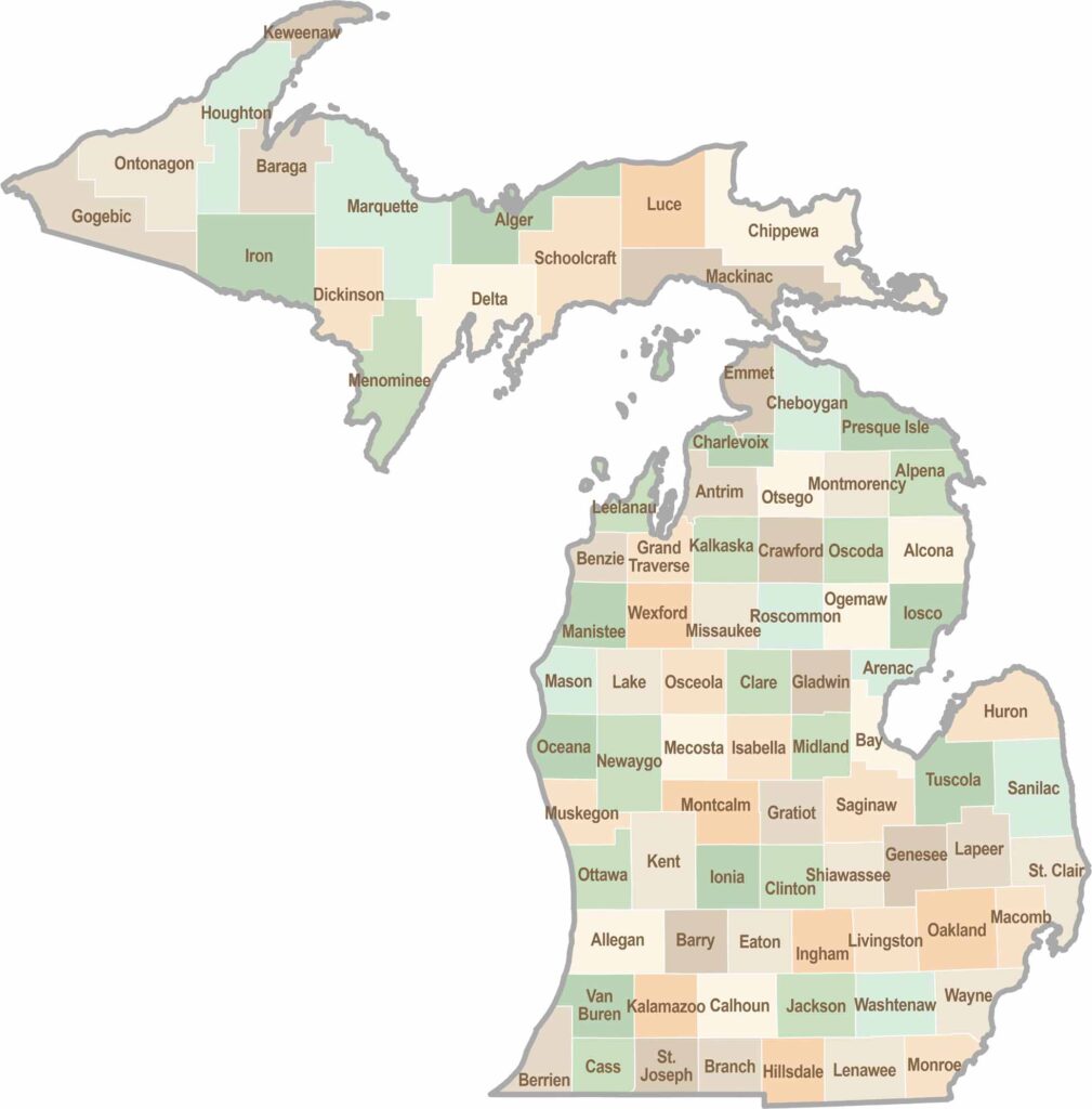
From Motown to moose sightings, Michigan’s 83 counties offer an impressive mix of urban energy, natural beauty, and outdoor adventure. Detroit celebrates its legendary Motown music heritage, while Ann Arbor brings a lively college-town atmosphere shaped by the University of Michigan. From the shores of the Great Lakes to the forests of the Upper Peninsula, the Mitten State delivers a diverse landscape filled with history, culture, and scenic attractions.