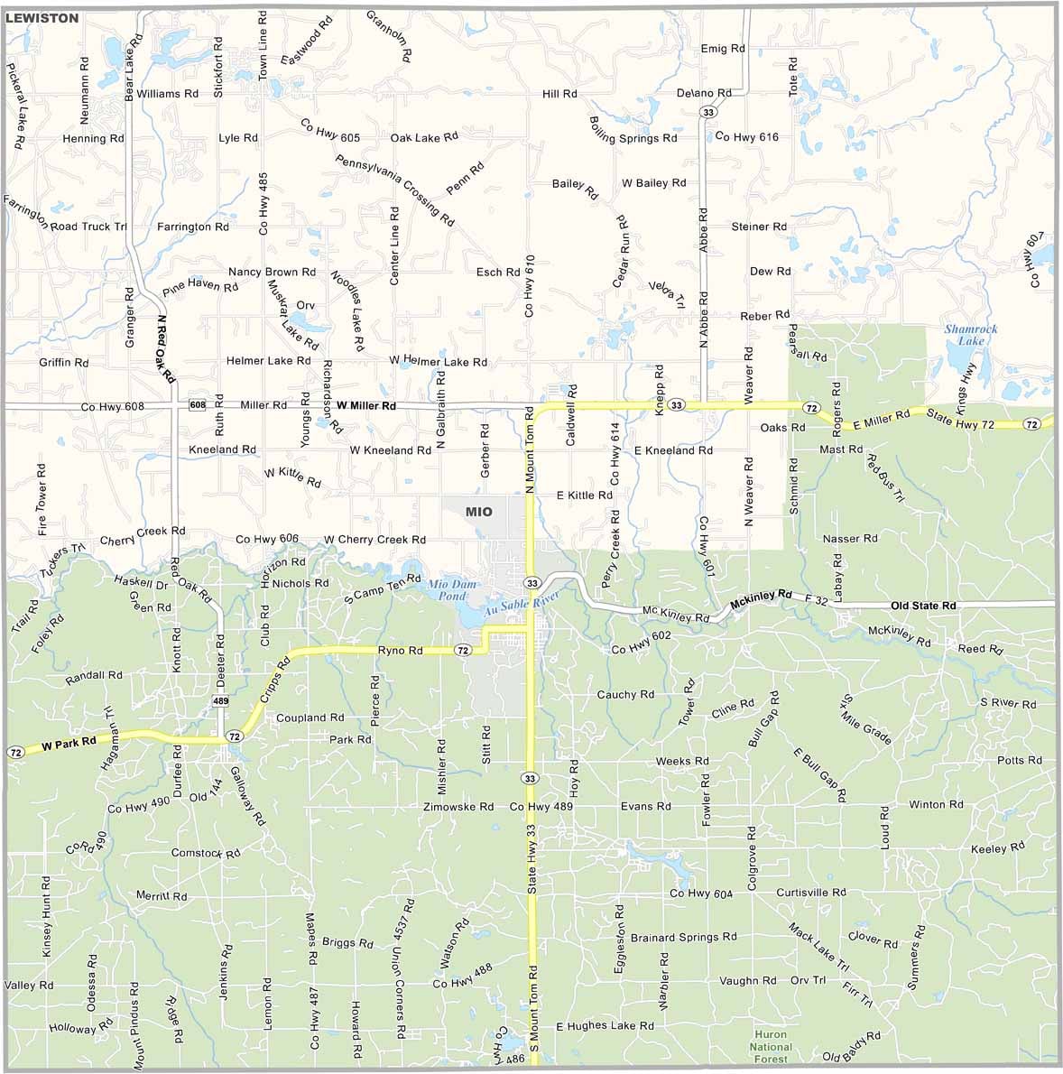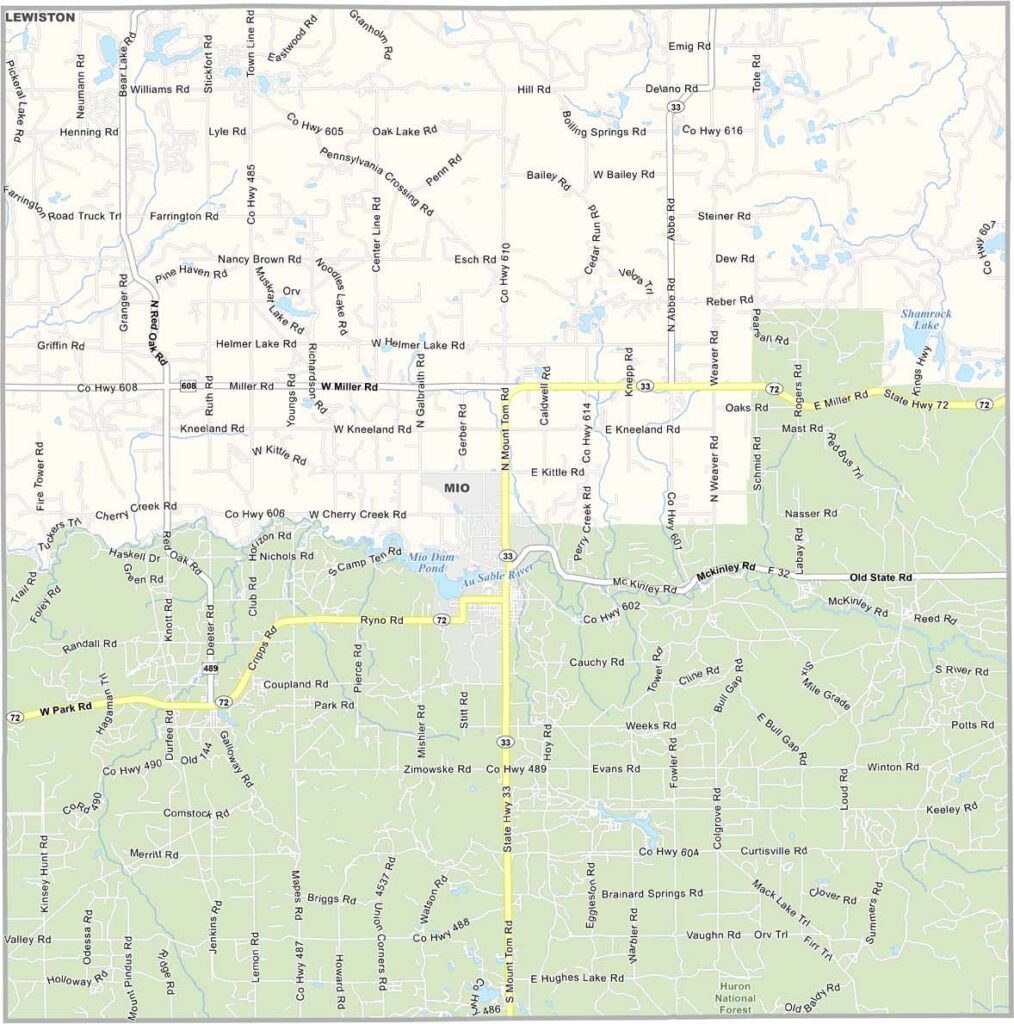
Oscoda County Map, Michigan

Oscoda County, Michigan

Oscoda County sits in the northeastern part of Michigan’s Lower Peninsula. It’s a place where forests stretch for miles and rivers wind through the landscape.

Folks here know a thing or two about the outdoors. Hiking, fishing, and hunting are practically second nature to locals. The county seat, Mio, sits along the Au Sable River.

It’s not all wilderness, though. Small towns dot the area. Just don’t expect many traffic lights. In Oscoda County, the deer are more likely to stop traffic than a red light.
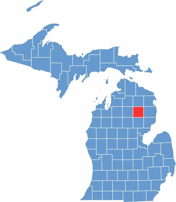

Oscoda County location map of Michigan
CategoryDetails
County NameOscoda County
County SeatMio
Cities, Towns, and CommunitiesMio, Fairview, Comins, Luzerne, McKinley, Big Creek Township
Interstates and HighwaysM-33, M-72
FIPS Code26-135
Total Area (Land and Water)572 square miles (Land: 566 sq mi, Water: 6 sq mi)
Adjacent Counties (and Direction)Montmorency County (North), Alpena County (Northeast), Alcona County (East), Iosco County (Southeast), Ogemaw County (South), Roscommon County (Southwest), Crawford County (West), Otsego County (Northwest)
Time ZoneEastern Time Zone (ET)
StateMichigan
Coordinates44.6872° N, 84.1265° W
EtymologyNamed by Henry Schoolcraft as a pseudo-Native American name
Major LandmarksAu Sable River, Huron National Forest, Lumberman’s Monument Visitor Center, Mio Dam
PopulationApproximately 8,000
Scroll to Top