
If you’re looking for a taste of pure Michigan, head to the state’s western shore and you’ll find Ottawa County. It’s where the Grand River meets Lake Michigan, creating some seriously stunning scenery.
Grand Haven is the county seat and boasts a lighthouse that looks straight out of a postcard. Summers here are all about beach days, ice cream cones, and watching the Musical Fountain light up the night.
Holland, another major town, leans heavily into its Dutch roots. Just check out the tulip fields and windmills. Ottawa County has plenty of lakeside views and welcoming communities, making it an easy place to enjoy life.
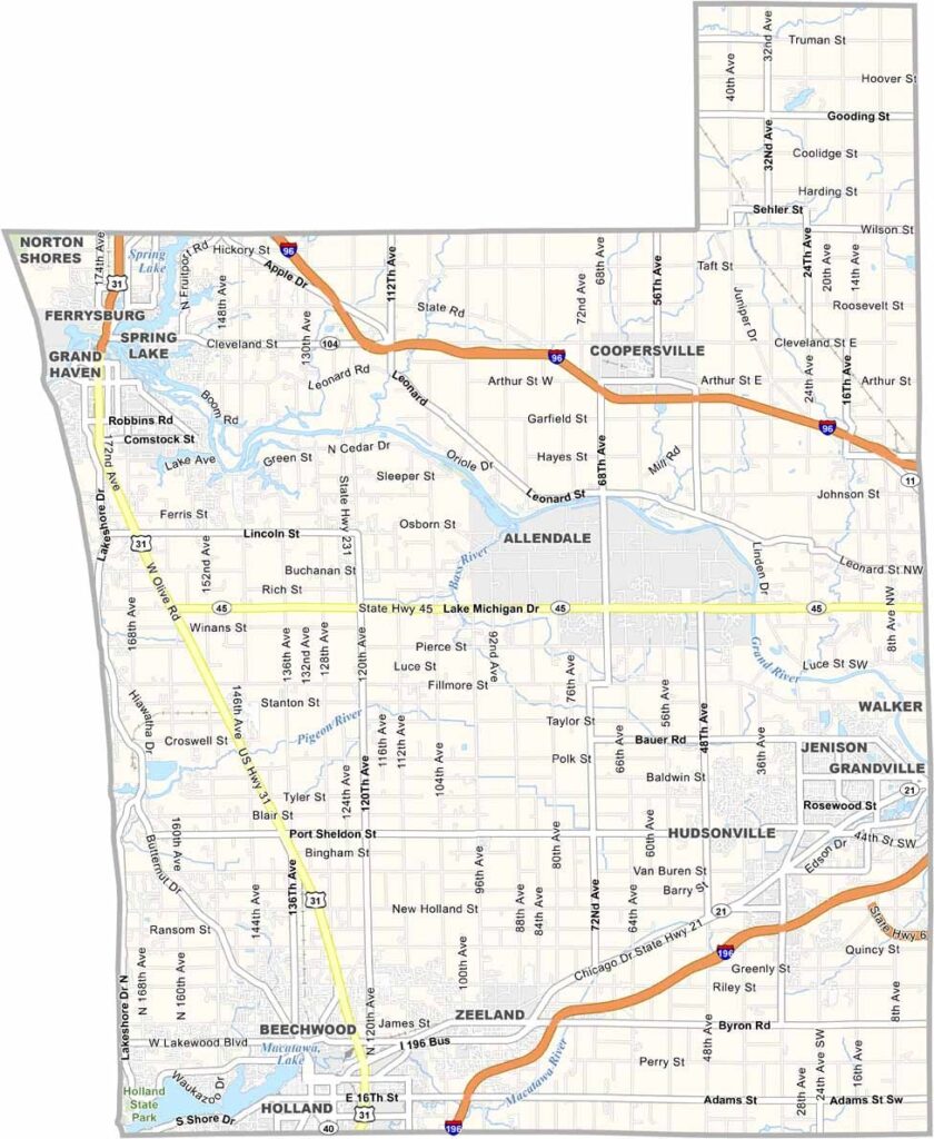
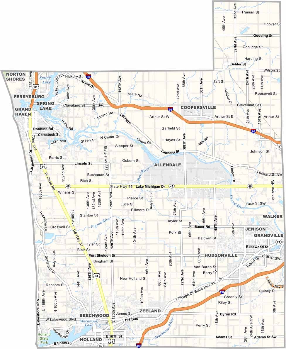
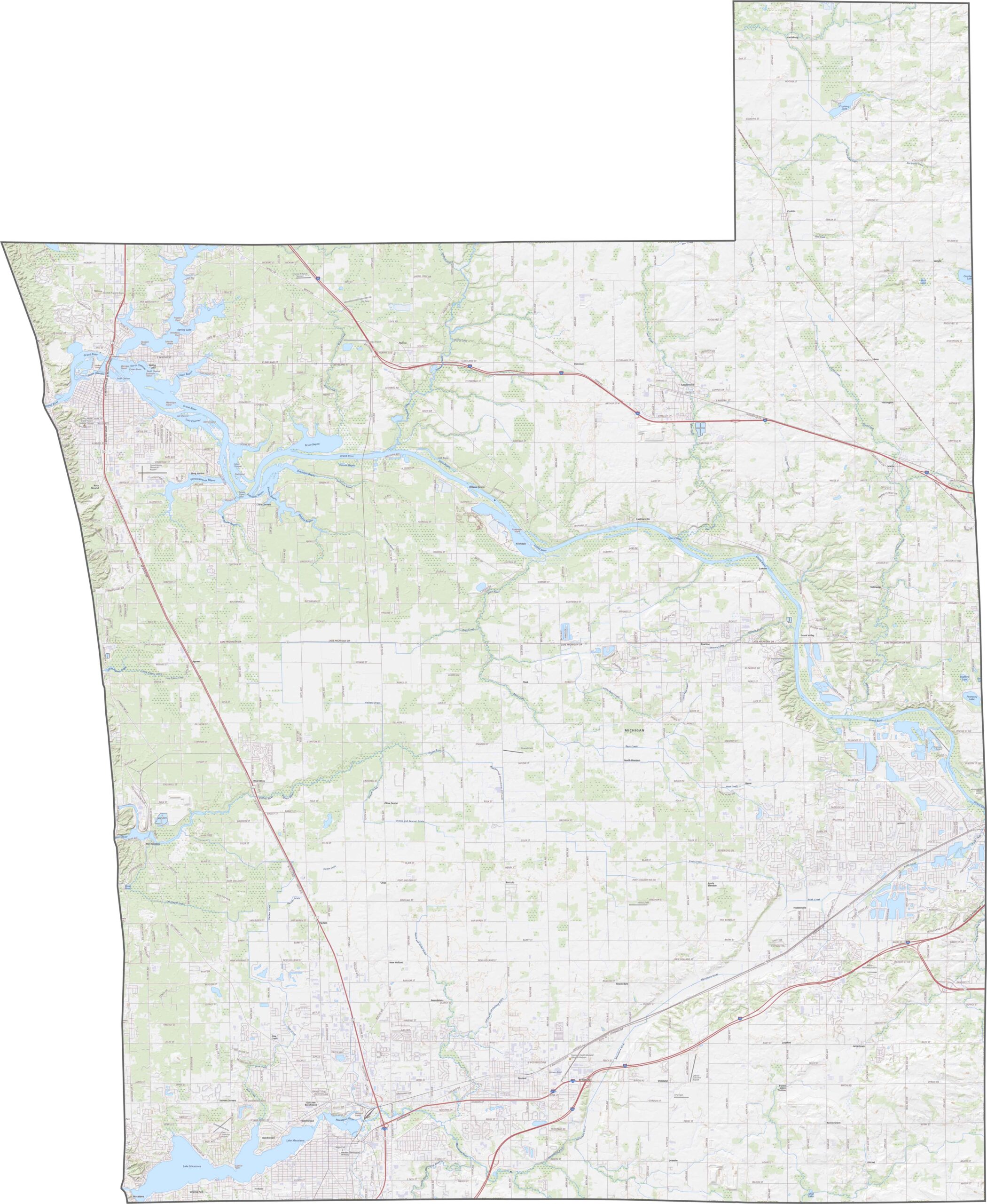
Major highways in Ottawa County include US-31, M-45, and I-96, which cuts through the northeast corner. Use our new zoom tool below to spot each highway and local route.
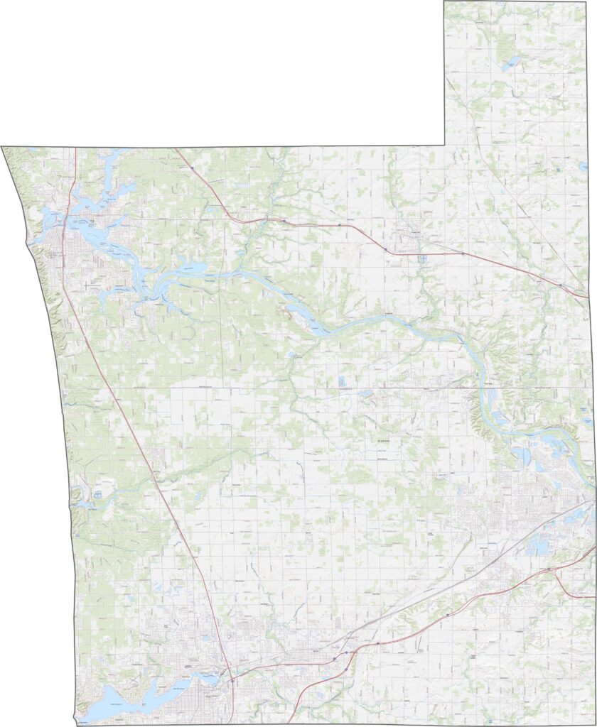
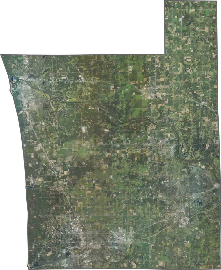
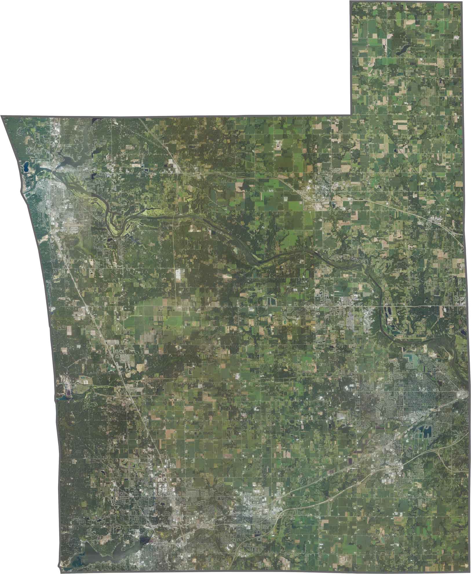
Farmland dominates our satellite map of Ottawa County. While forests are scattered throughout, fields stretch far in every direction. The Grand River stands out, winding its way across the county toward the big lake.
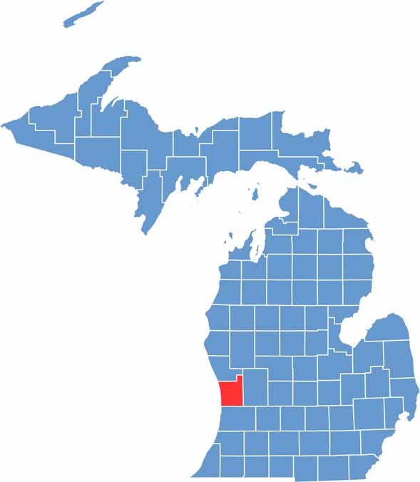
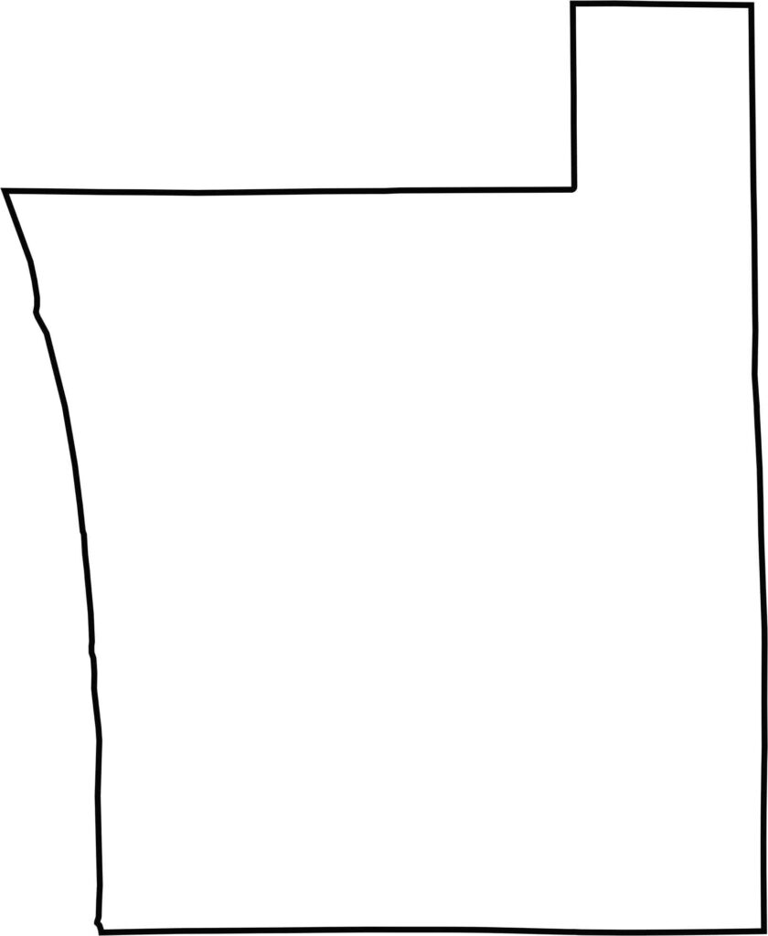
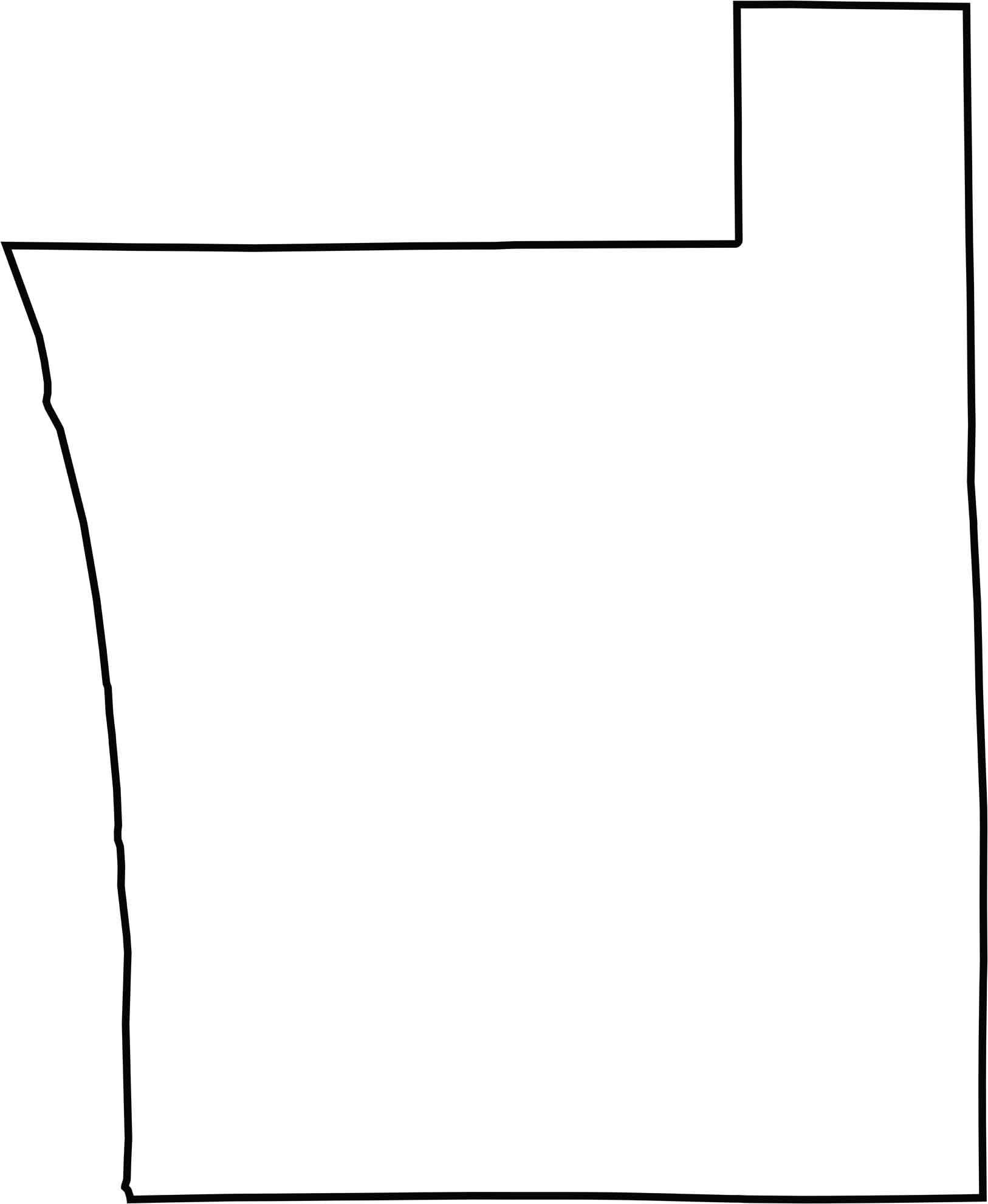
Ottawa County has a boxy shape with a jagged northeast edge. While Lake Michigan forms its western border, no major rivers define the other sides. It doesn’t border another state, but the lake gives the county a coastal feel.






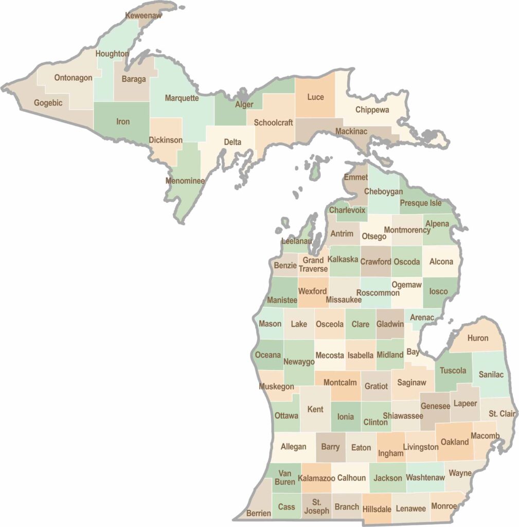
From Motown to moose sightings, Michigan’s 83 counties offer an impressive mix of urban energy, natural beauty, and outdoor adventure. Detroit celebrates its legendary Motown music heritage, while Ann Arbor brings a lively college-town atmosphere shaped by the University of Michigan. From the shores of the Great Lakes to the forests of the Upper Peninsula, the Mitten State delivers a diverse landscape filled with history, culture, and scenic attractions.