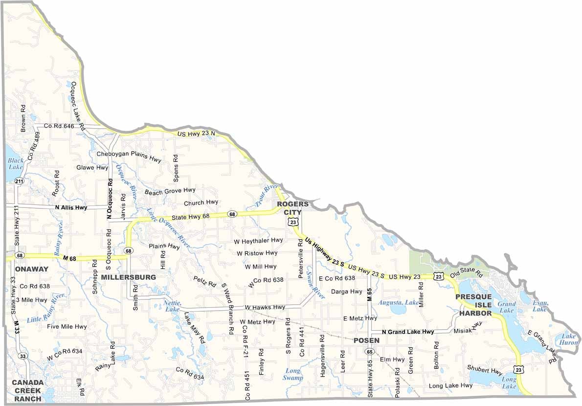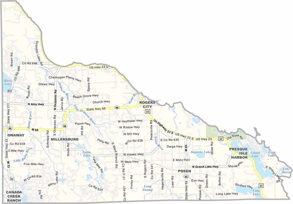
Presque Isle County Map, Michigan

Presque Isle County, Michigan

Up at the tip of Michigan’s Lower Peninsula, you’ll find Presque Isle County jutting out into Lake Huron. The name is French for “almost an island,” which is pretty spot-on.

Folks here know how to make the most of their county. It’s a place where forests meet freshwater, with lighthouses scattered along the shoreline.

The county has two state parks worth writing home about: Rockport and Thompson’s Harbor. But there are four in total. There’s also quite a bit of shipwreck history here, too.
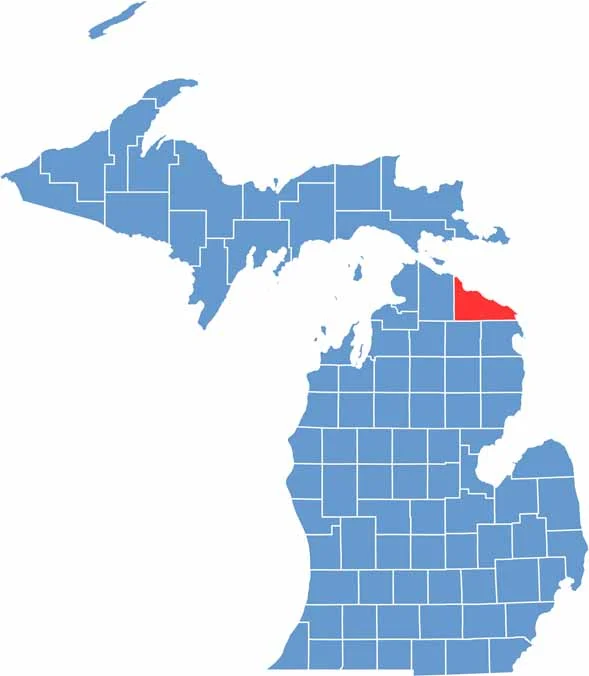

Presque Isle County location map of Michigan
CategoryDetails
County NamePresque Isle County
County SeatRogers City
Cities, Towns, and CommunitiesRogers City, Onaway, Posen, Millersburg, Hawks, Metz, Hagensville
Interstates and HighwaysUS 23, M-68, M-33
FIPS Code26-141
Total Area (Land and Water)2,573 square miles (Land: 659 sq mi, Water: 1,914 sq mi)
Adjacent Counties (and Direction)Alpena County (Southeast), Montmorency County (Southwest), Cheboygan County (West)
Time ZoneEastern Time Zone (ET)
StateMichigan
Coordinates45.4237° N, 83.8267° W
EtymologyFrench for “almost an island”
Major LandmarksPresque Isle Lighthouse, Hoeft State Park, Thompson’s Harbor State Park, Ocqueoc Falls
PopulationApproximately 12,000
Scroll to Top