
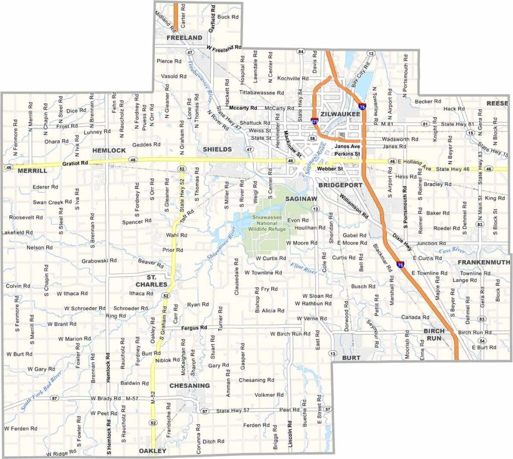
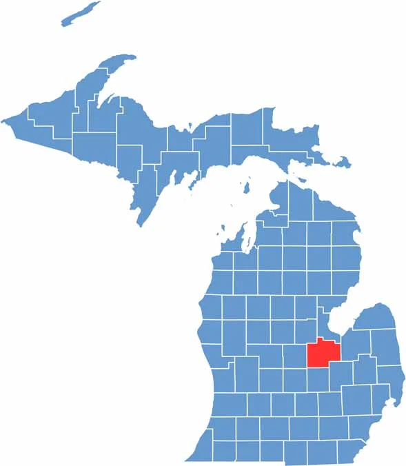
Saginaw County is located in central Michigan, right in the heart of the state’s Lower Peninsula. It’s well-connected, making it a convenient spot between Detroit and northern Michigan.
Birders flock to the Shiawassee National Wildlife Refuge, a wetland wonderland that’s home to everything from eagles to egrets. Egrets?
Just remember, whether you’re in downtown Saginaw or out in the sticks, everyone here bleeds green and white for Michigan State. Saginaw County has something for everyone.
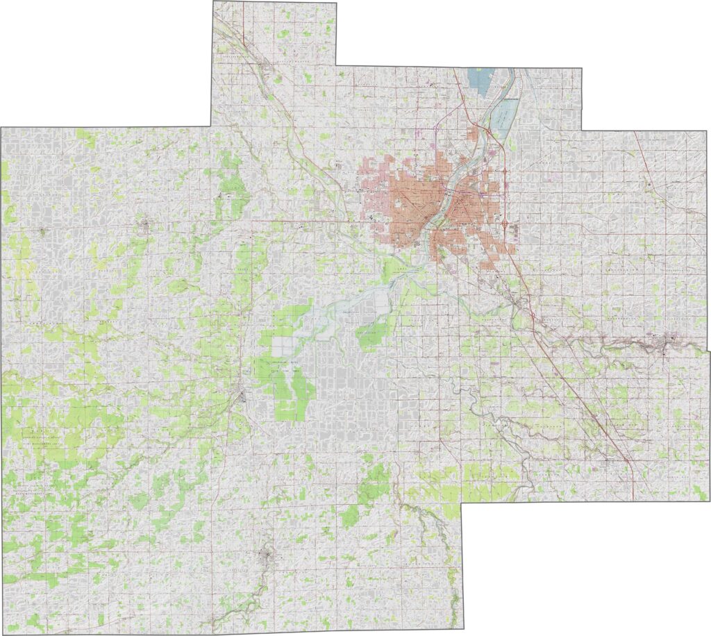
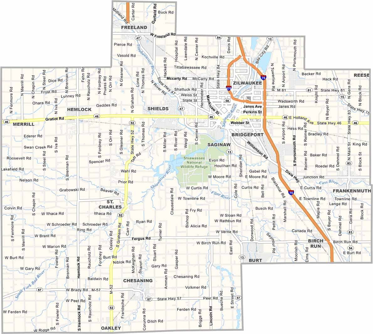
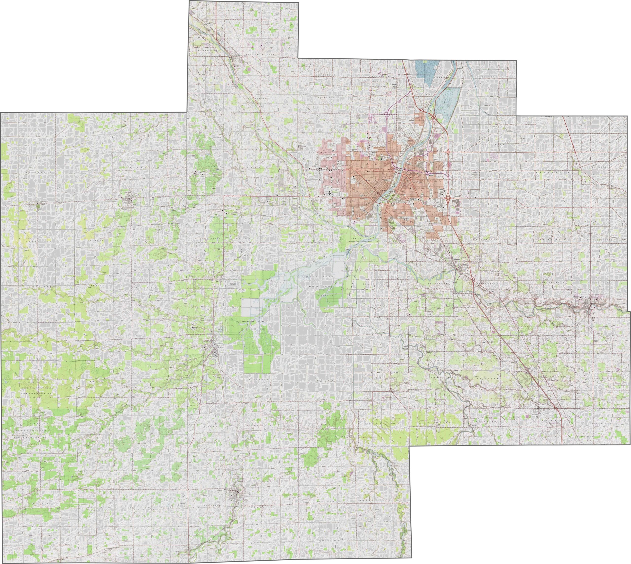
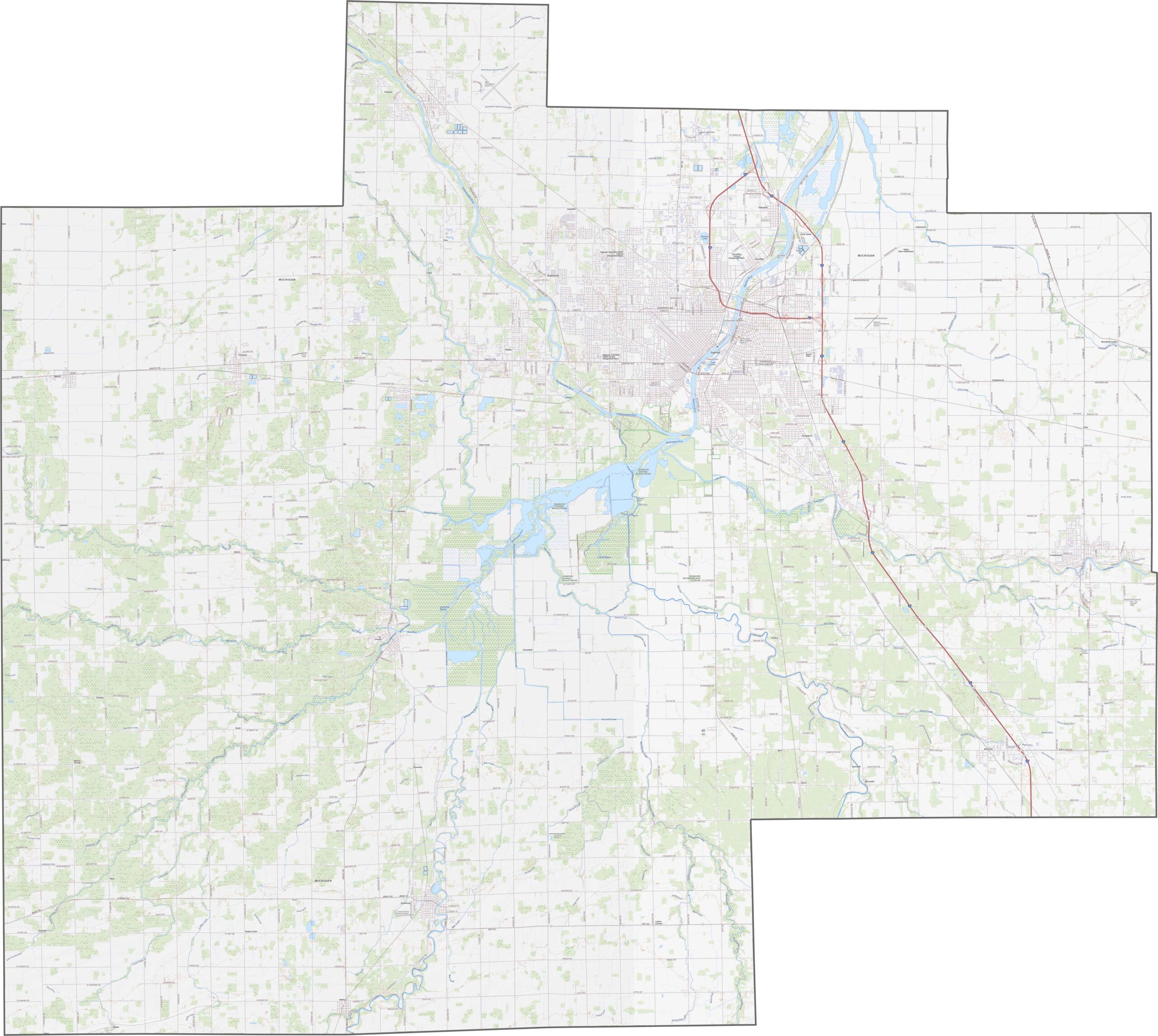
Saginaw County is mostly flat, with scattered river valleys across the landscape. Although it sits relatively low overall, the Saginaw River creates gentle dips throughout the land. Zoom in on our map to explore every connection.
Saginaw County’s highways crisscross the area in every direction. I-75 runs north to south along the eastern side, while I-675 cuts right into downtown Saginaw.
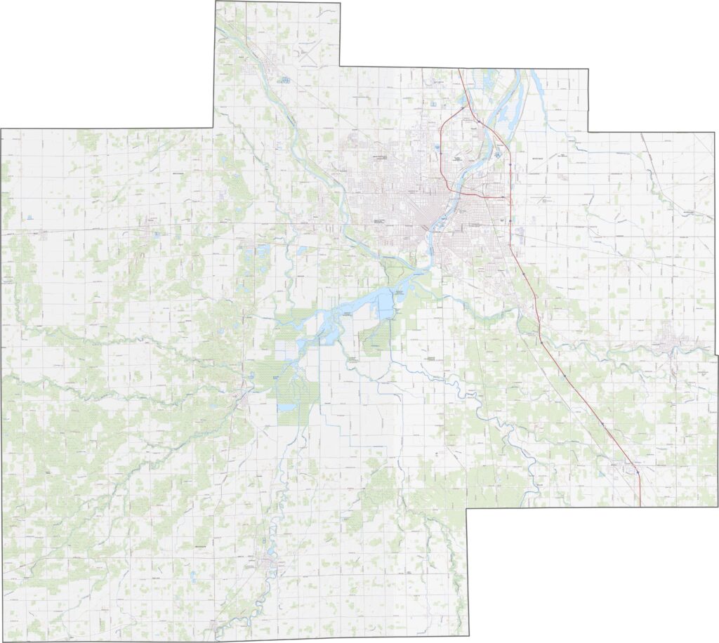
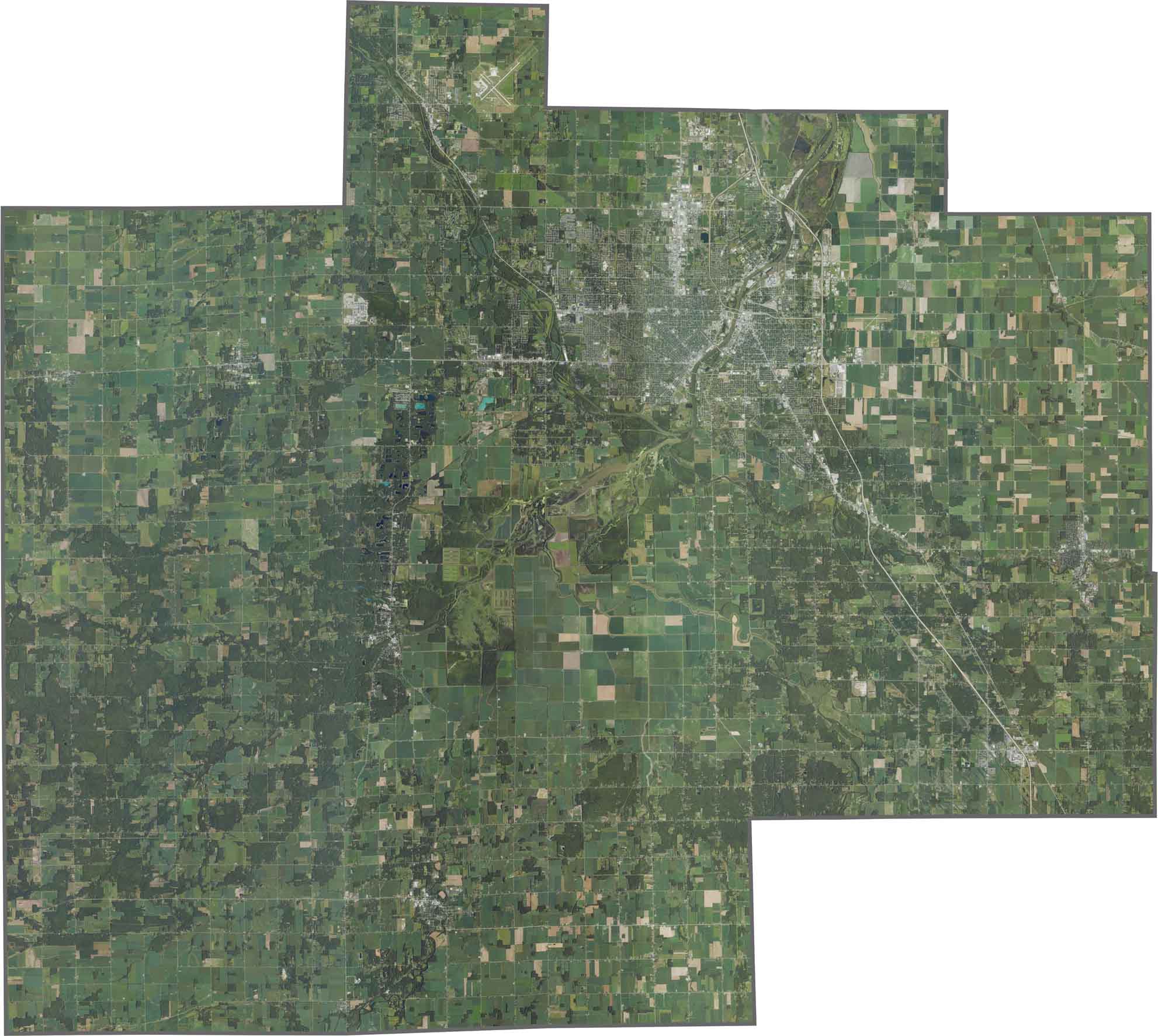
Fields stretch across Saginaw County. While urban areas cluster around the city, farmland and patches of forest quickly take over beyond them. The Saginaw River winds through the heart of the view and is hard to miss.
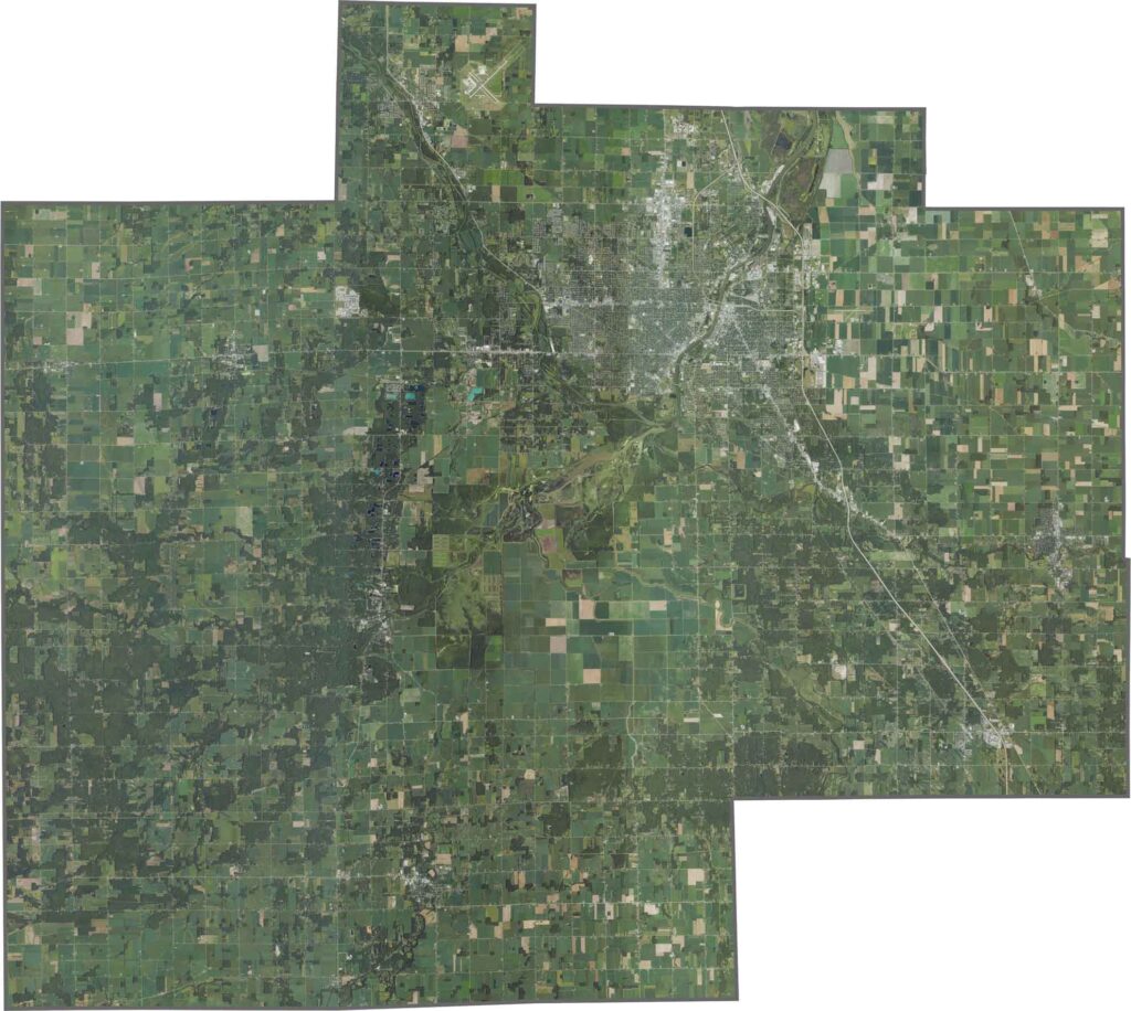
Saginaw County has a rough rectangular shape with no soft curves. It doesn’t border another state and is surrounded by neighboring Michigan counties.








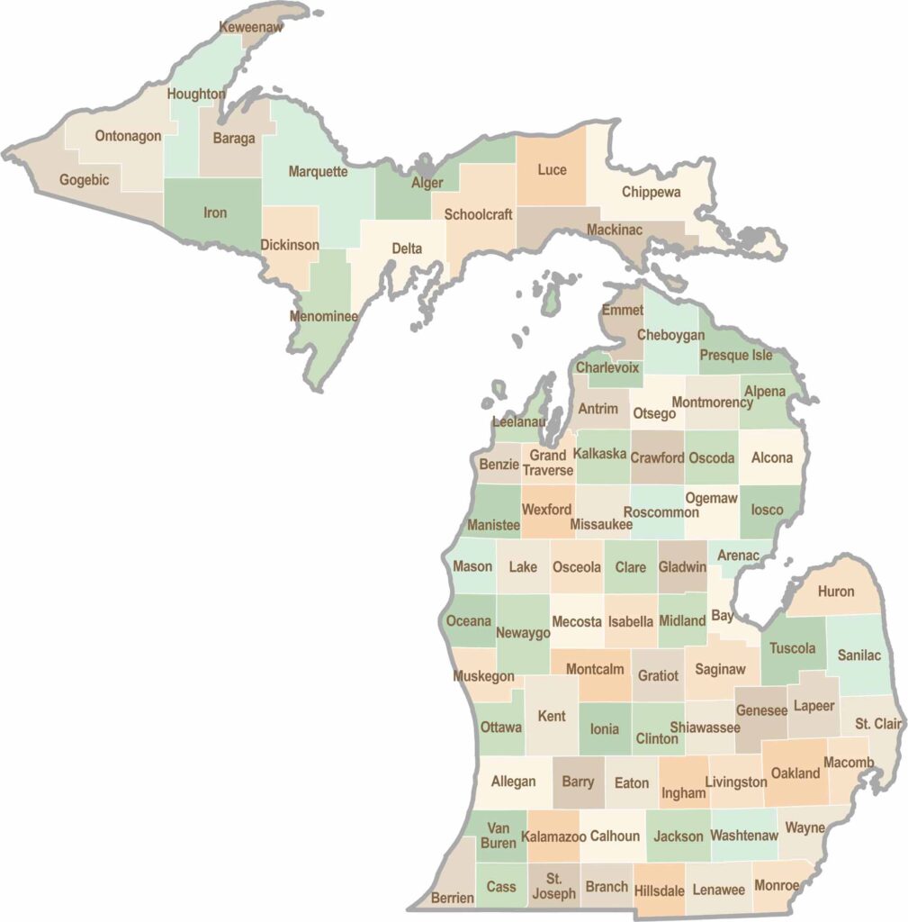
From Motown to moose sightings, Michigan’s 83 counties offer an impressive mix of urban energy, natural beauty, and outdoor adventure. Detroit celebrates its legendary Motown music heritage, while Ann Arbor brings a lively college-town atmosphere shaped by the University of Michigan. From the shores of the Great Lakes to the forests of the Upper Peninsula, the Mitten State delivers a diverse landscape filled with history, culture, and scenic attractions.