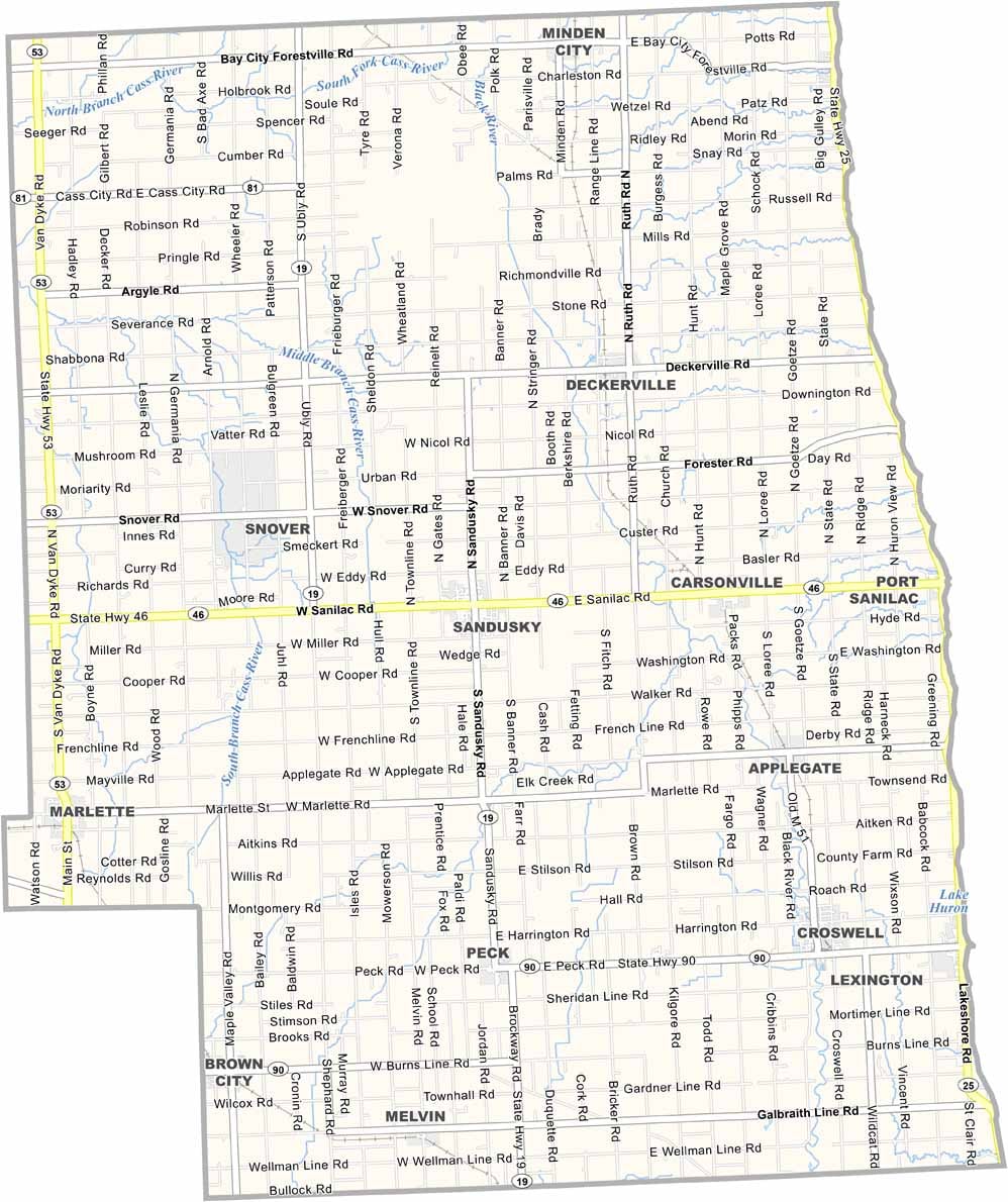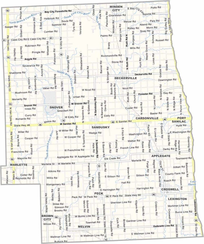
Sanilac County Map, Michigan

Sanilac County, Michigan

Michigan’s Thumb has a hidden gem, and that’s Sanilac County. This part of the Great Lakes State hugs the western shore of Lake Huron, with forests and farmland adding to its Midwestern charm.

Port Sanilac’s historic lighthouse has guarded the coastline since 1886. Locals swear by the county’s fresh produce, especially its famous sugar beets and navy beans.

The county has small towns like Lexington and Croswell that ooze character. Just don’t ask the locals to point out their hometown on their hand—they might need both hands to show you this thumb-tastic county.
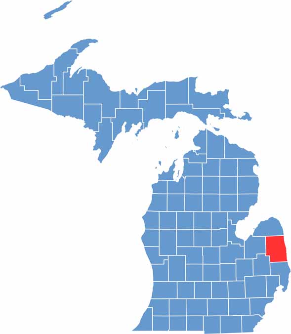

Sanilac County location map of Michigan
CategoryDetails
County NameSanilac County
County SeatSandusky
Cities, Towns, and CommunitiesSandusky, Croswell, Lexington, Marlette, Peck, Deckerville, Port Sanilac
Interstates and HighwaysM-19, M-25, M-46, M-53
FIPS Code26-151
Total Area (Land and Water)1,590 square miles (Land: 963 sq mi, Water: 627 sq mi)
Adjacent Counties (and Direction)Huron County (North), Tuscola County (West), St. Clair County (South), Lapeer County (Southwest)
Time ZoneEastern Time Zone (ET)
StateMichigan
Coordinates43.4195° N, 82.8262° W
EtymologyBelieved to be named after a Wyandotte chief named Sanilac
Major LandmarksLexington State Harbor, Sanilac Petroglyphs Historic State Park, Lake Huron shoreline, Croswell Swinging Bridge
PopulationApproximately 40,000
Scroll to Top