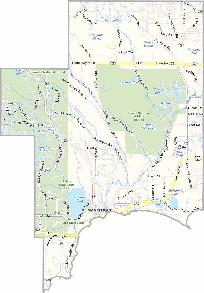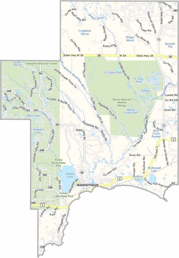
Schoolcraft County Map, Michigan

Schoolcraft County, Michigan

Schoolcraft County sits in the heart of Michigan’s Upper Peninsula. This outdoor lover’s dream is a stone’s throw from three of the Great Lakes. Forests cover the region, broken only by crystal-clear lakes and winding rivers.

Seney National Wildlife Refuge is a birder’s paradise, home to loons, eagles, and sandhill cranes. The county’s history runs deep, from logging boom towns to Native American heritage sites.

Manistique is the county seat, attracting visitors with its courthouse and iconic water tower. Summers here are a playground for hikers. Winters, on the other hand, blanket the land, when snowmobilers and cross-country skiers take over.
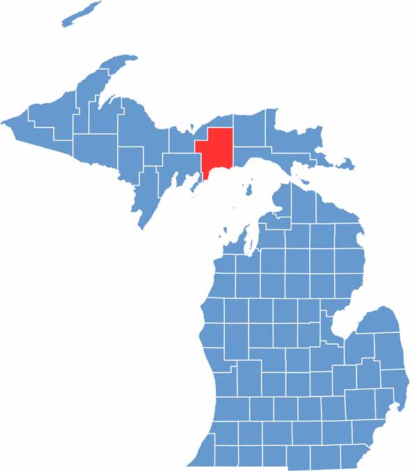

Schoolcraft County location map of Michigan
CategoryDetails
County NameSchoolcraft County
County SeatManistique
Cities, Towns, and CommunitiesManistique, Germfask, Cooks, Gulliver, Seney, Thompson, Blaney Park
Interstates and HighwaysUS 2, M-28
FIPS Code26-153
Total Area (Land and Water)1,884 square miles (Land: 1,171 sq mi, Water: 713 sq mi)
Adjacent Counties (and Direction)Delta County (West), Alger County (Northwest), Luce County (Northeast), Mackinac County (Southeast)
Time ZoneEastern Time Zone (ET)
StateMichigan
Coordinates45.9192° N, 86.2452° W
EtymologyNamed after Henry Schoolcraft, a geographer
Major LandmarksIndian Lake State Park, Seney National Wildlife Refuge, Palms Book State Park (Kitch-iti-kipi), Fayette Historic State Park
PopulationApproximately 7,800
Scroll to Top