
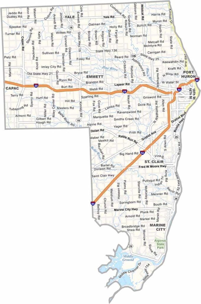
St. Clair County is located in eastern Michigan, right along the shores of Lake Huron and Lake St. Clair. It sits just across from Canada, separated by the St. Clair River.
It’s a place where freighters glide by and folks wave from their front porches. Port Huron is the county seat and is known as the Maritime Capital of the Great Lakes. And for good reason.
The Bluewater Bridge stretches across to Canada, serving as a steel giant connecting two nations. People also love the state parks and wildlife areas found throughout this part of Michigan.
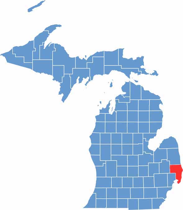
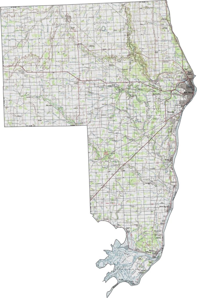
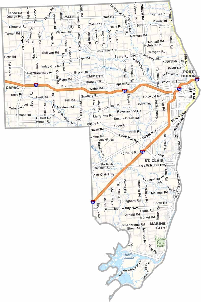
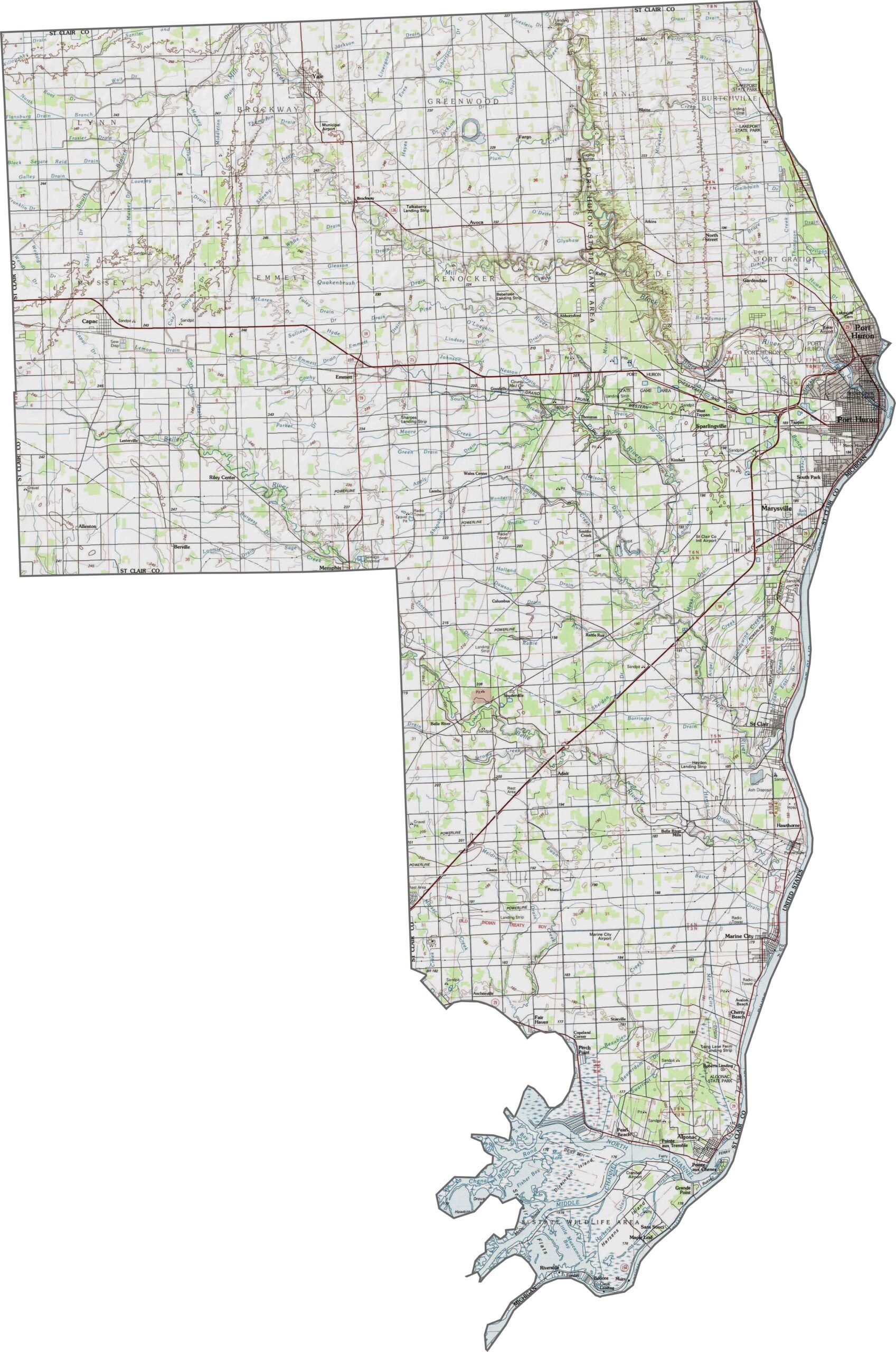
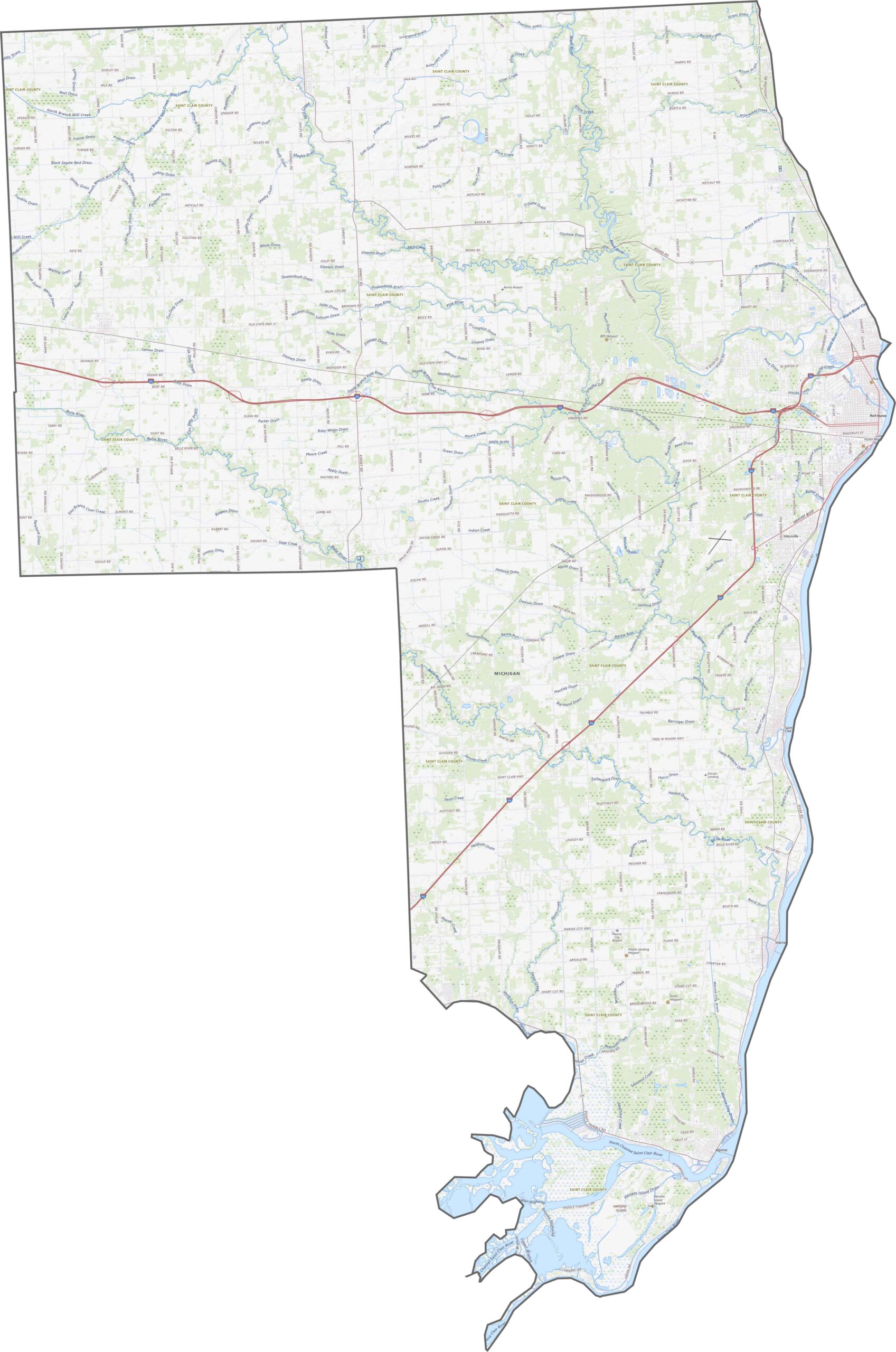
St. Clair County is low and flat, especially near the water. While small hills rise inland, the St. Clair River dominates the eastern edge. Use our new zoom tool to explore every contour and highway on the map below.
St. Clair County has major highways like I-69, I-94, M-29, and US-25. While border crossings can slow traffic near Canada, travel within the county generally stays smooth.
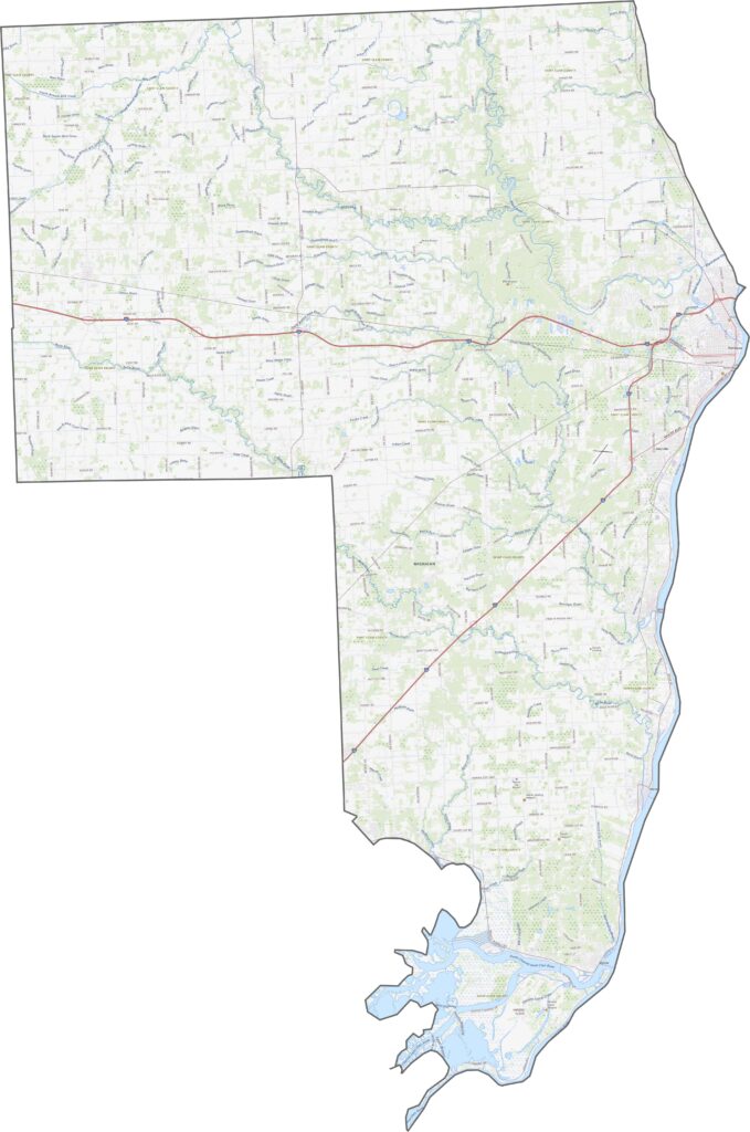
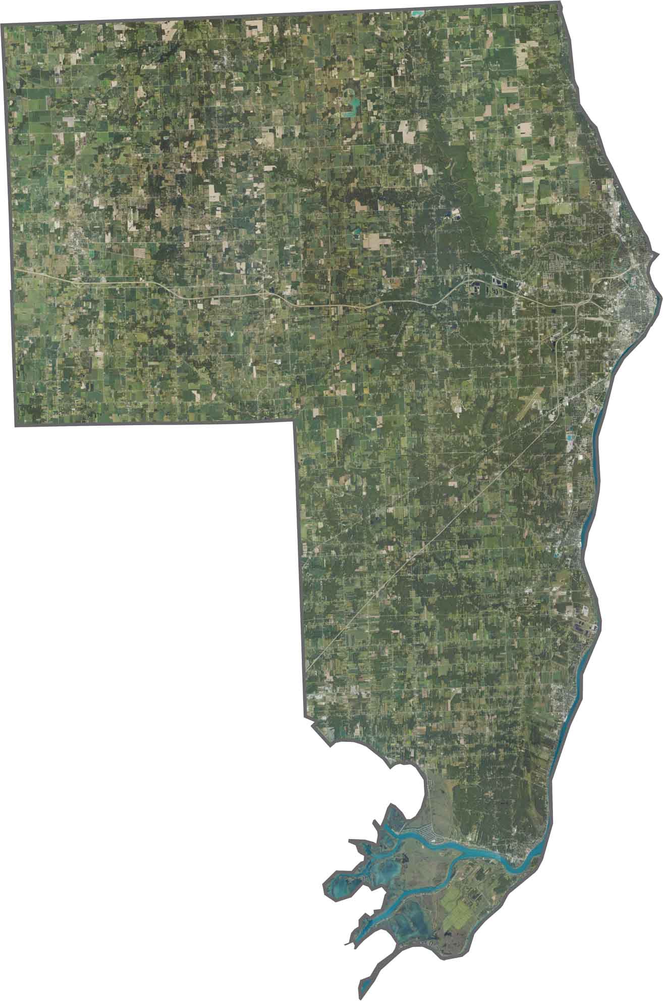
The St. Clair River steals the show in our satellite map, occupying the eastern side. While urban areas cluster around Port Huron, farmland covers much of the western side.
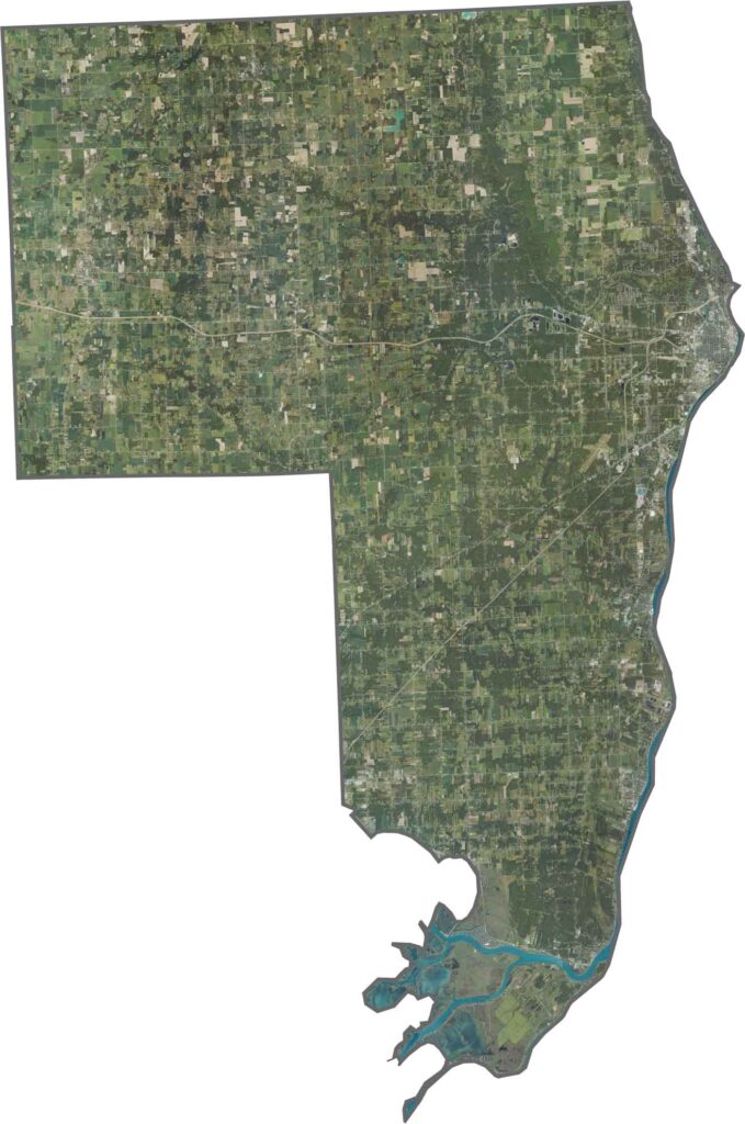
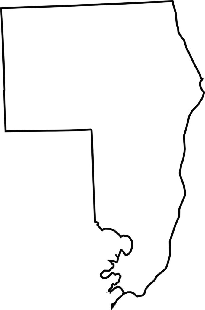
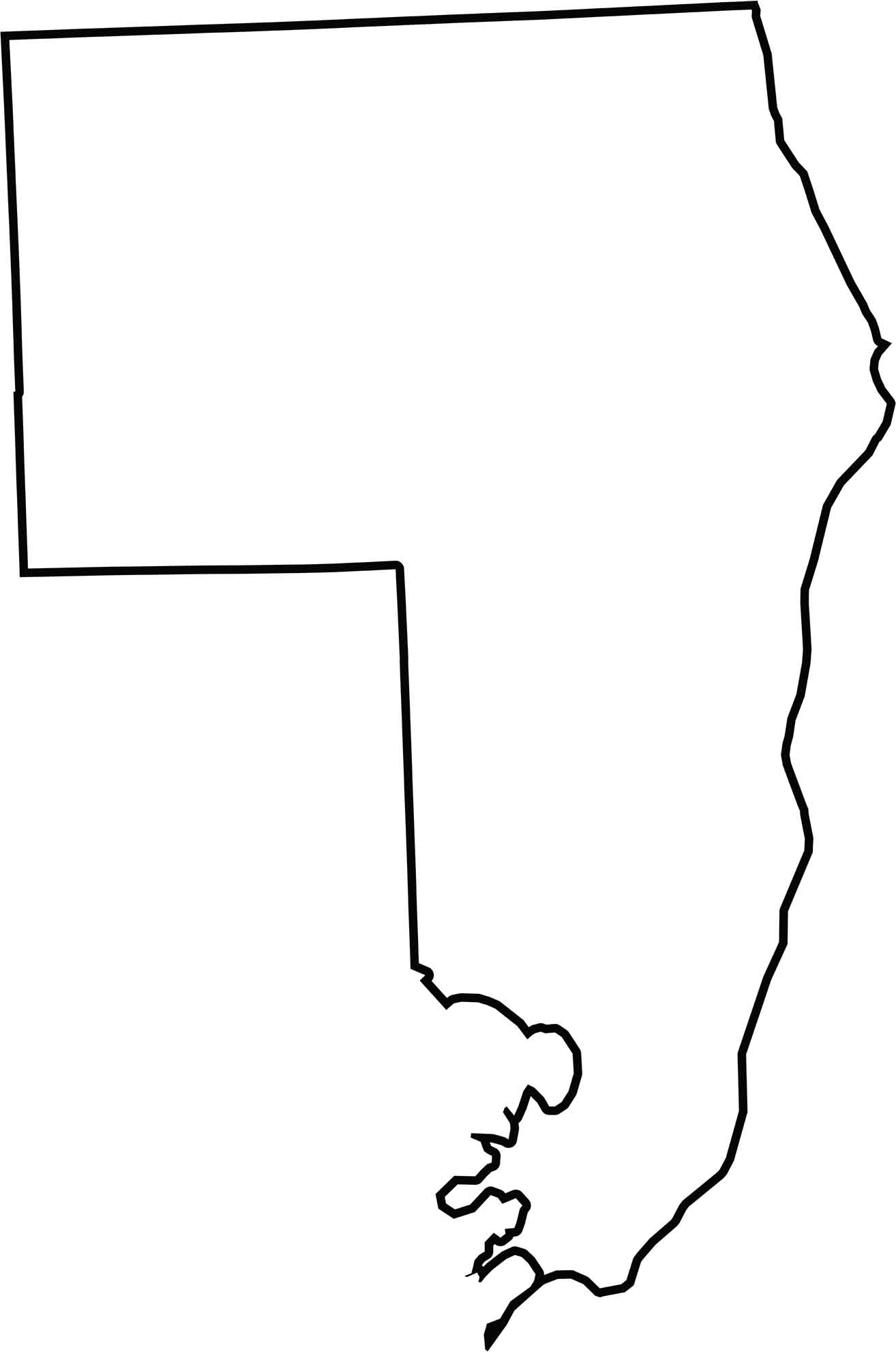
St. Clair County hugs the St. Clair River, which forms its eastern border. While the other sides are mostly straight, the river adds curves and bends. It also borders Canada across the river.






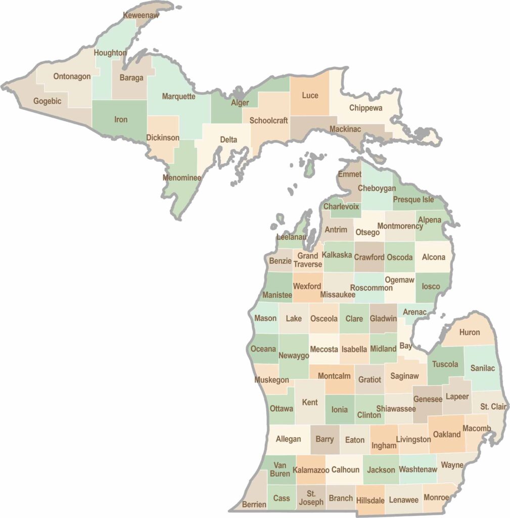
From Motown to moose sightings, Michigan’s 83 counties offer an impressive mix of urban energy, natural beauty, and outdoor adventure. Detroit celebrates its legendary Motown music heritage, while Ann Arbor brings a lively college-town atmosphere shaped by the University of Michigan. From the shores of the Great Lakes to the forests of the Upper Peninsula, the Mitten State delivers a diverse landscape filled with history, culture, and scenic attractions.