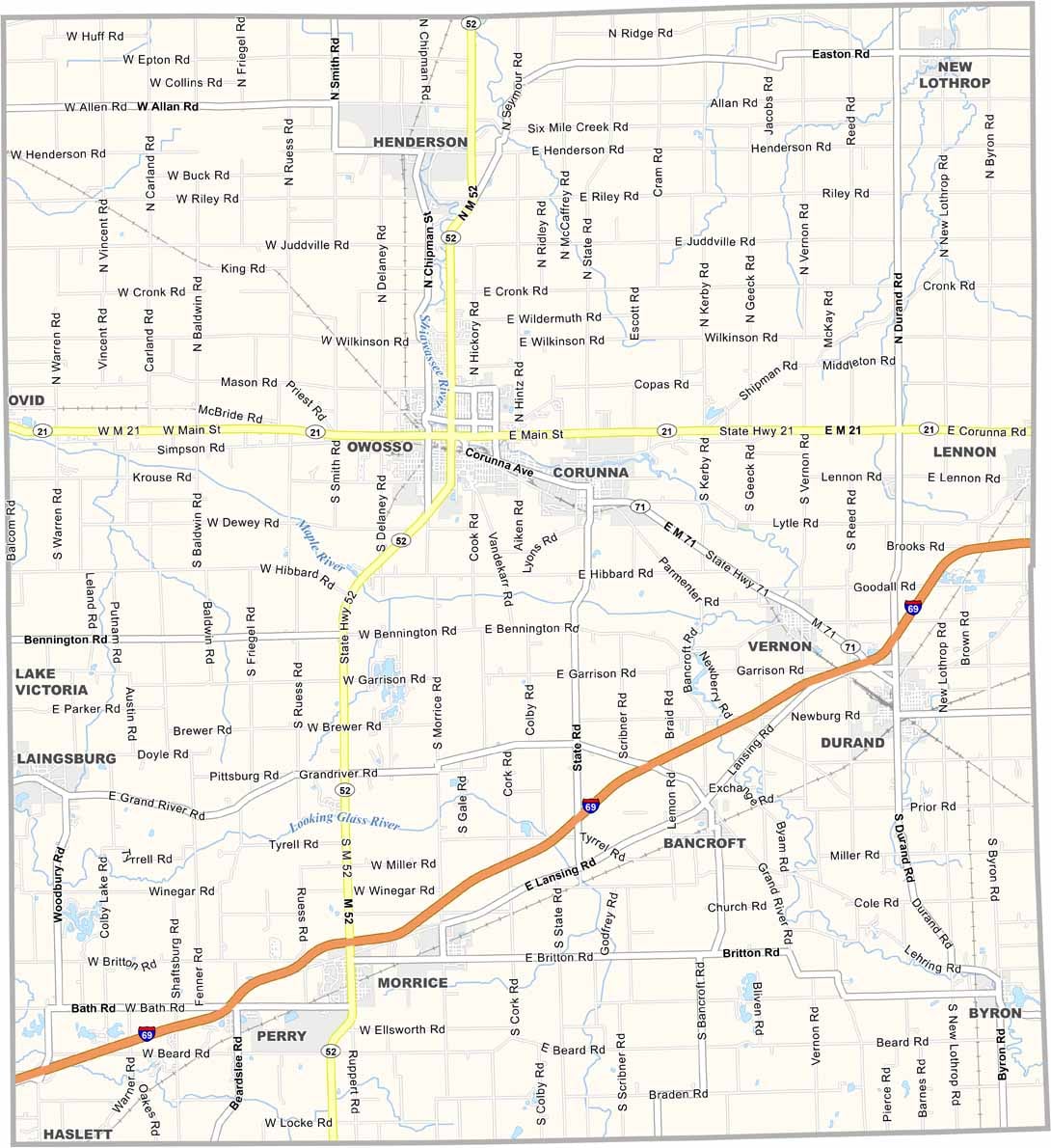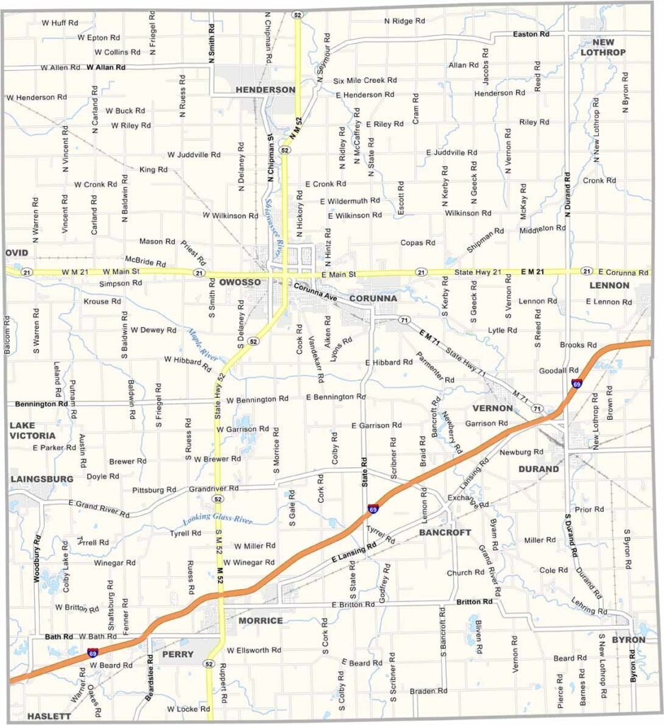
Shiawassee County Map, Michigan

Shiawassee County, Michigan

Shiawassee County is located in the central Lower Peninsula of Michigan, where small-town communities, rolling hills, and fertile farmland create a scenic rural landscape. The winding Shiawassee River adds an important natural feature as it flows through the county.

Corunna, the county seat, features a historic downtown with preserved buildings, local shops, and community attractions. Nearby Owosso, the county’s largest city, is home to the Steam Railroading Institute, a popular destination for visitors interested in railroad history and heritage.

The county’s history is also represented by Curwood Castle, the former home of author James Oliver Curwood. For those looking to enjoy the outdoors, the DeVries Nature Conservancy protects a peaceful natural area within the surrounding agricultural landscape, offering opportunities to experience wildlife and native habitats.
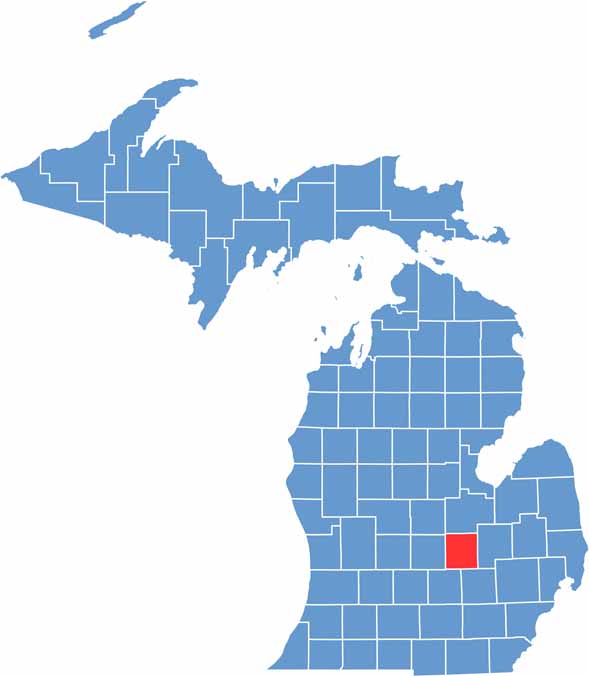

Shiawassee County location map of Michigan
CategoryDetails
County NameShiawassee County
County SeatCorunna
EtymologyNamed after the Shiawassee River, which in turn is derived from a Native American word meaning “river that twists about”
Cities, Towns, and CommunitiesOwosso, Corunna, Durand, Perry, Laingsburg, Morrice, Bancroft, Vernon
Interstates and HighwaysI-69, M-13, M-21, M-52, M-71, M-78
FIPS Code26-155
Total Area (Land and Water)541 square miles (Land: 531 sq mi, Water: 10 sq mi)
Adjacent Counties (and Direction)Saginaw County (North), Genesee County (East), Livingston County (Southeast), Ingham County (Southwest), Clinton County (West), Gratiot County (Northwest)
Time ZoneEastern Time Zone (ET)
StateMichigan
Coordinates42.9971° N, 84.1388° W
Major LandmarksShiawassee River State Game Area, Curwood Castle, DeVries Nature Conservancy, Durand Union Station
PopulationApproximately 67,000
Scroll to Top