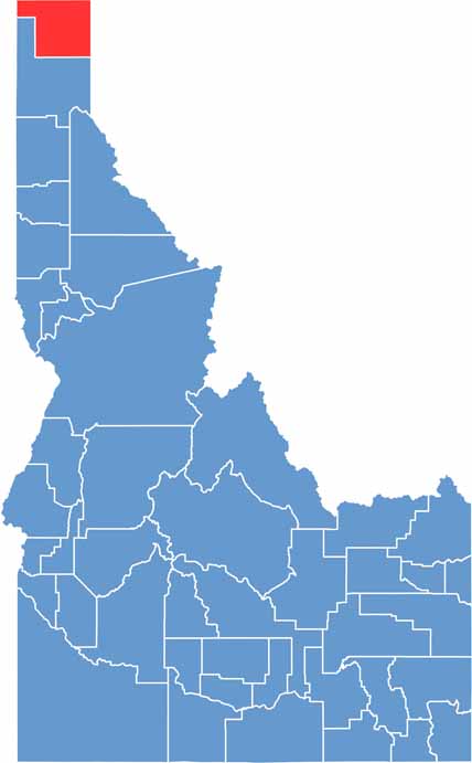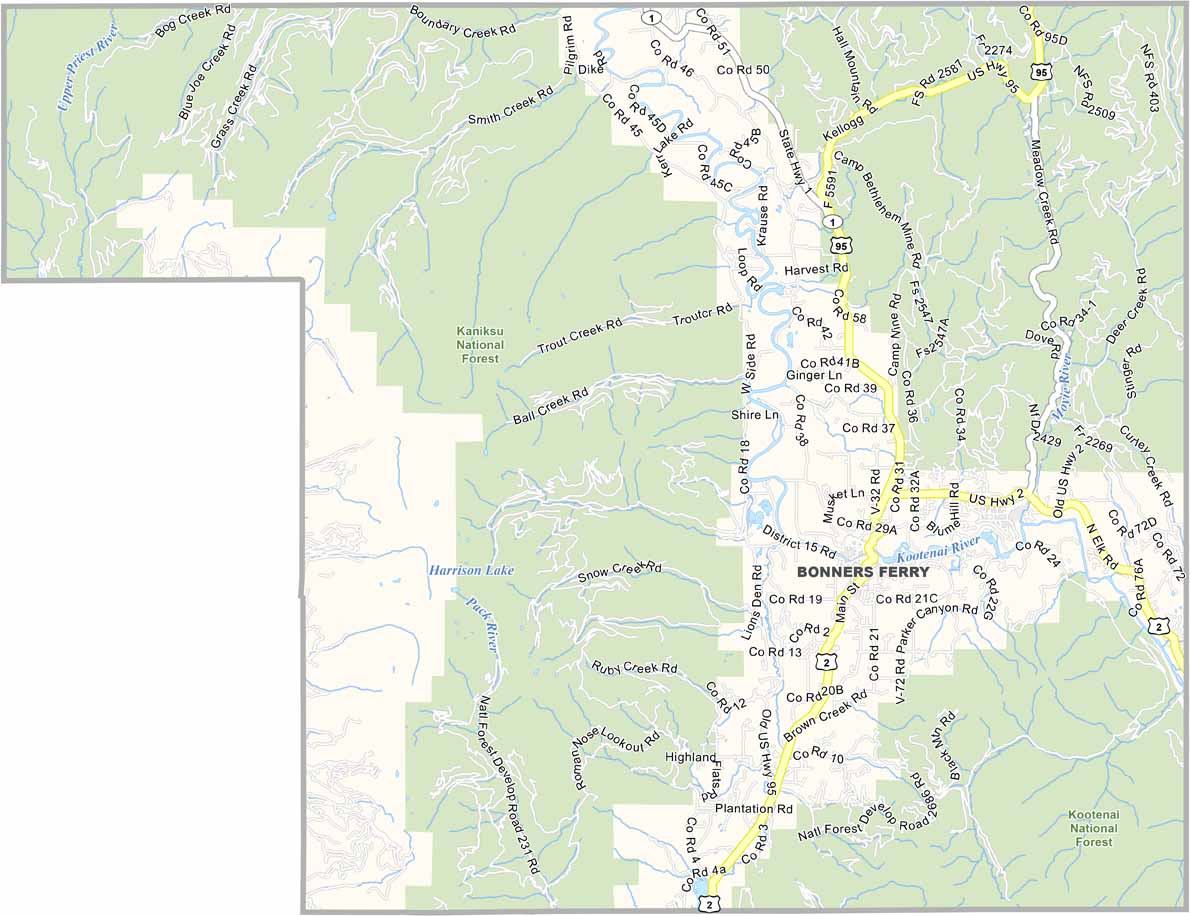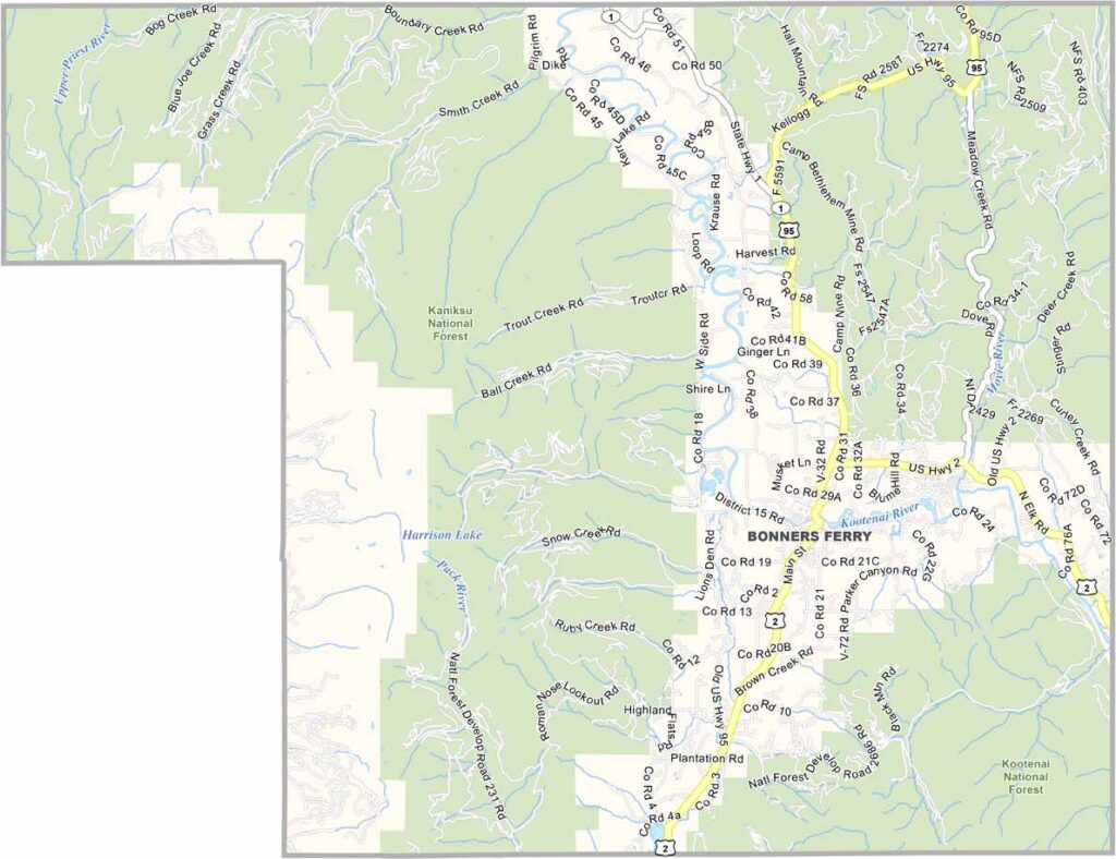
Boundary County is Idaho’s northernmost county, tucked between Montana, Washington, and British Columbia. Bonners Ferry is the county’s main community, located in a scenic valley carved by the Kootenai River. The local economy has long been shaped by logging and farming, giving the area a distinctly rural character.
The landscape is rugged and beautiful, with dense forests, jagged mountain peaks, and secluded lakes surrounding the communities. Residents are accustomed to long, harsh winters and take pride in their self-reliance and resilience. Wildlife is abundant, and sightings of animals such as moose are not unusual, even near town.
The Kootenai Tribe has a reservation in the area and operates a sturgeon hatchery, adding an important cultural and environmental dimension to the county. Hunting and fishing remain central to local life rather than simply weekend activities. Although the nearby Canadian border adds an international connection, Boundary County remains deeply rural, independent, and closely connected to the wilderness.