
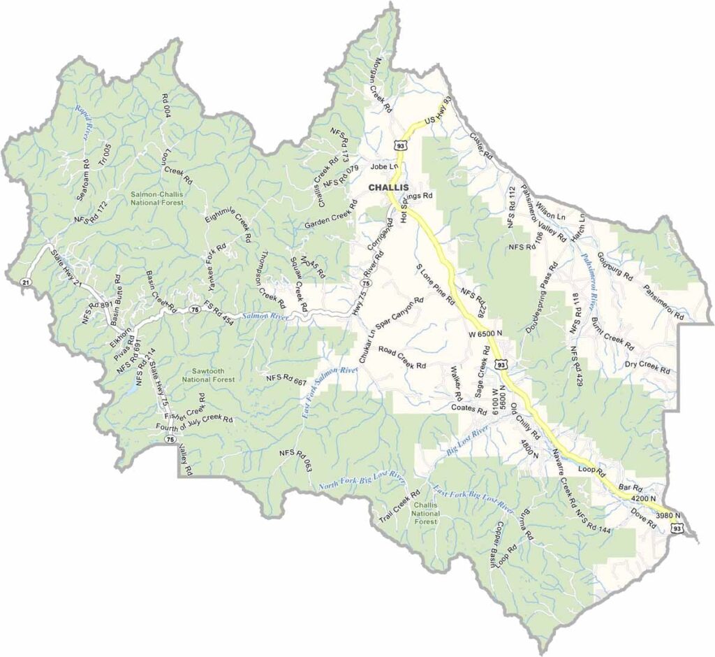
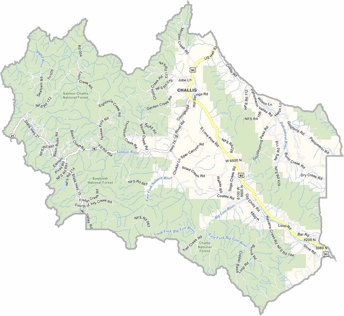
Custer County is located in central Idaho, a place of rugged mountains and remote valleys. Stanley, a popular tourist destination, sits at the foot of the Sawtooth Mountains. It’s breathtakingly beautiful but can be brutally cold.
This is where Idaho’s true outdoor enthusiasts come to play. There are rivers for rafting, peaks for climbing, and trails for hiking. The Frank Church–River of No Return Wilderness is partially located here and is the largest wilderness area in the contiguous United States.
The county seat is Challis, which is a bit more livable. Ranching remains an important part of life throughout the county, but tourism continues to grow. You’ll find cowboys and river guides sharing the same local bars. Here, the population is small and widely spread out.
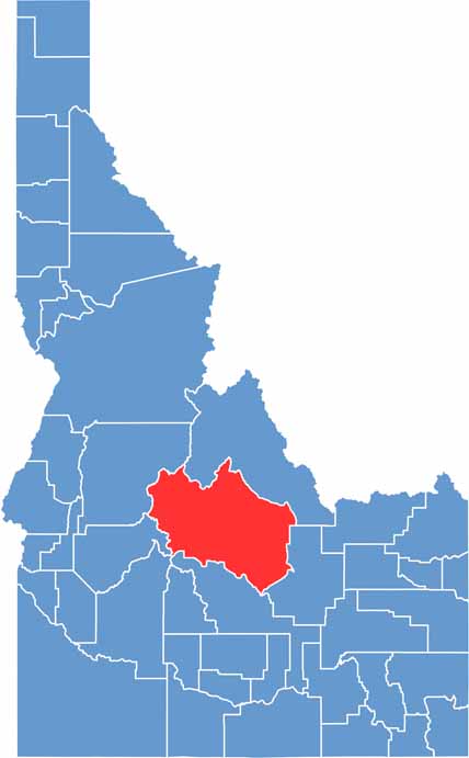
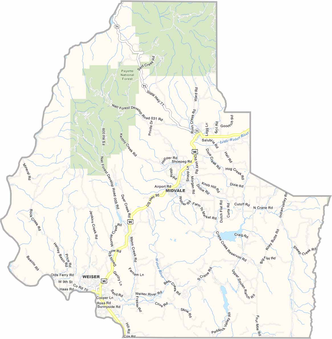
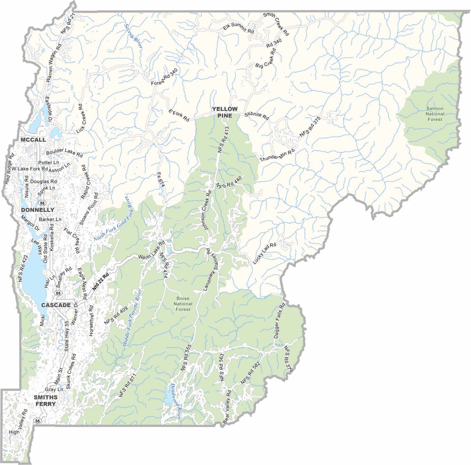
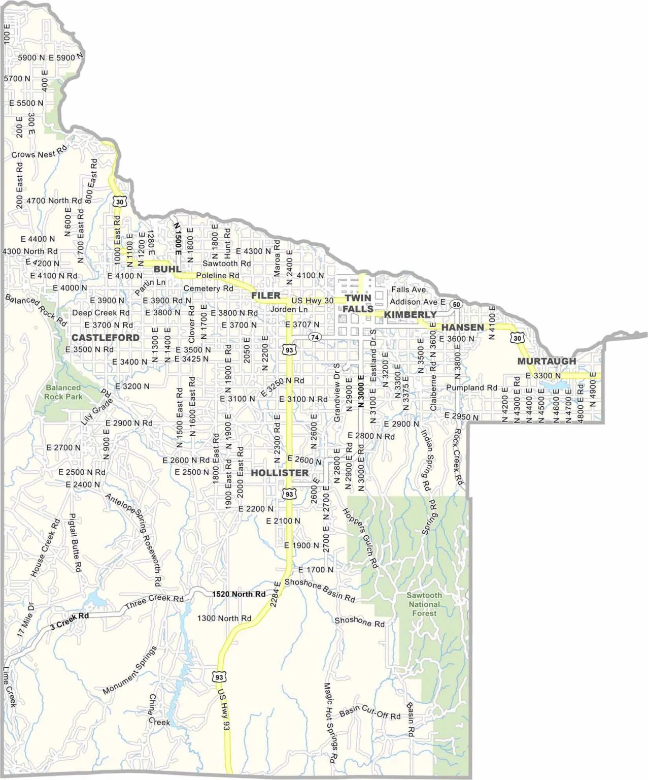
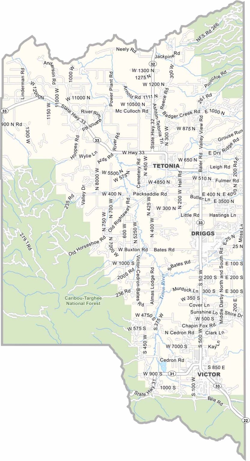
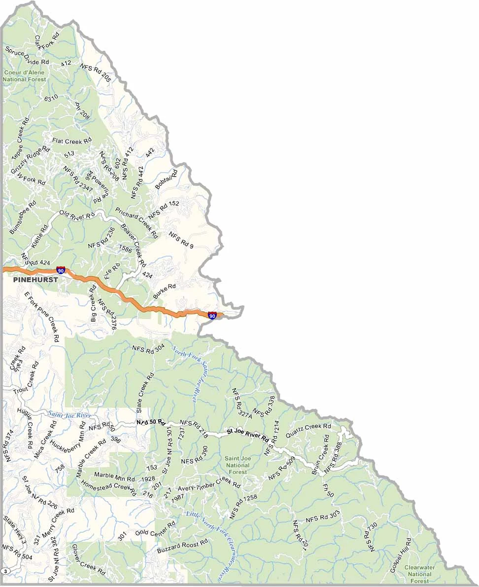
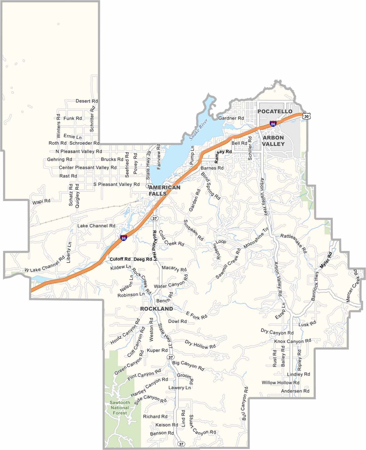
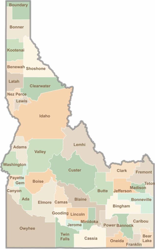
Discover the diverse landscapes of Idaho’s counties, from rugged mountain ranges and rolling plains to expansive forests and wild backcountry. Explore the vibrant heart of Boise, the scenic wilderness of Teton County, and the untamed forests of Shoshone County, each offering a unique glimpse into Idaho’s natural beauty.