
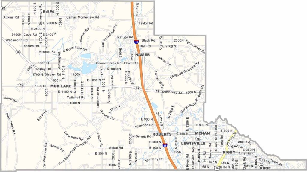
Jefferson County sits in eastern Idaho, just north of Idaho Falls. Farming is a major part of life here, with the Snake River Plain stretching across the area as flat as a pancake. Potato fields are a familiar sight around these parts.
Rigby serves as the county seat and proudly claims to be the birthplace of television. Philo Farnsworth, often credited as one of the inventors of television, grew up on a nearby farm. In the distance, the Lemhi and Bitterroot mountain ranges add some dramatic scenery to the otherwise open landscape.
The county is named after Thomas Jefferson, of course. People here value independence, hard work, and community. It’s a place where neighbors look out for one another and small-town values still matter.
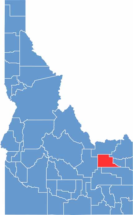
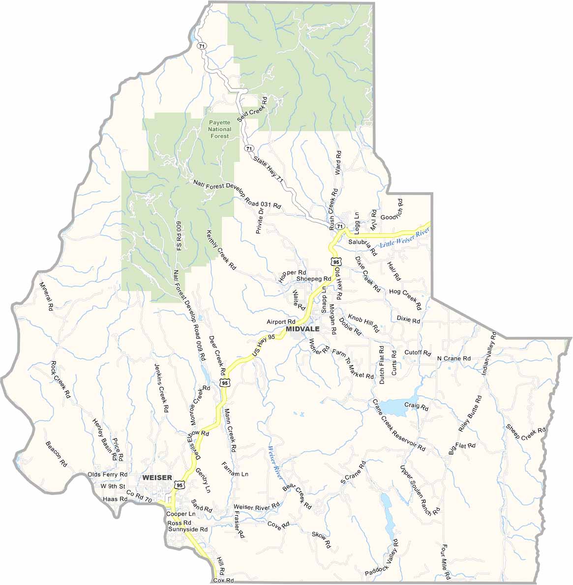
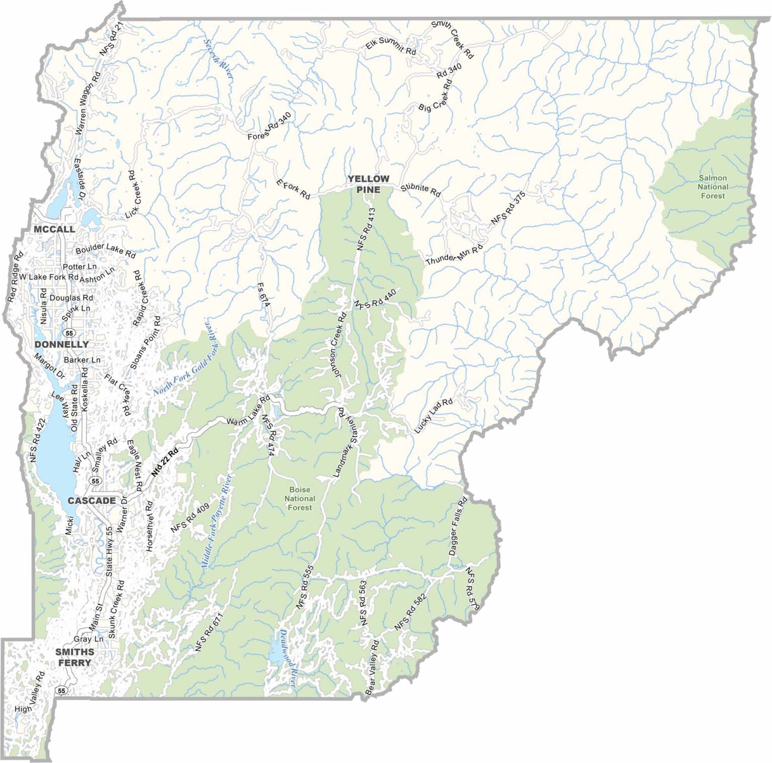
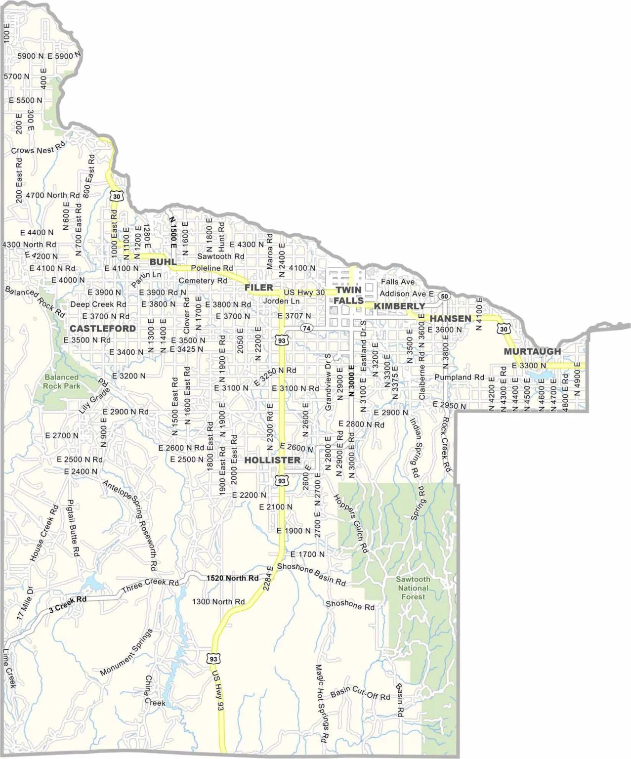
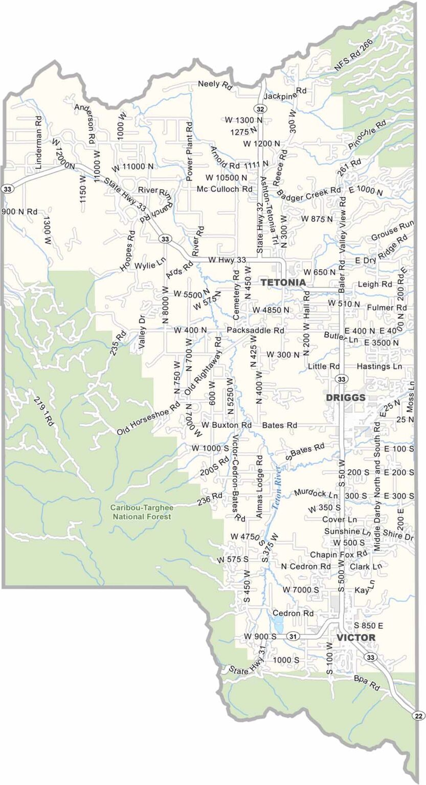
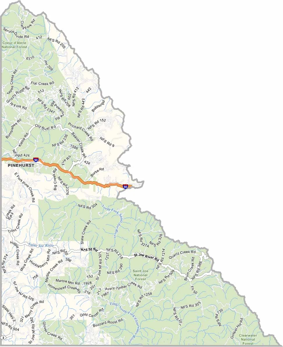
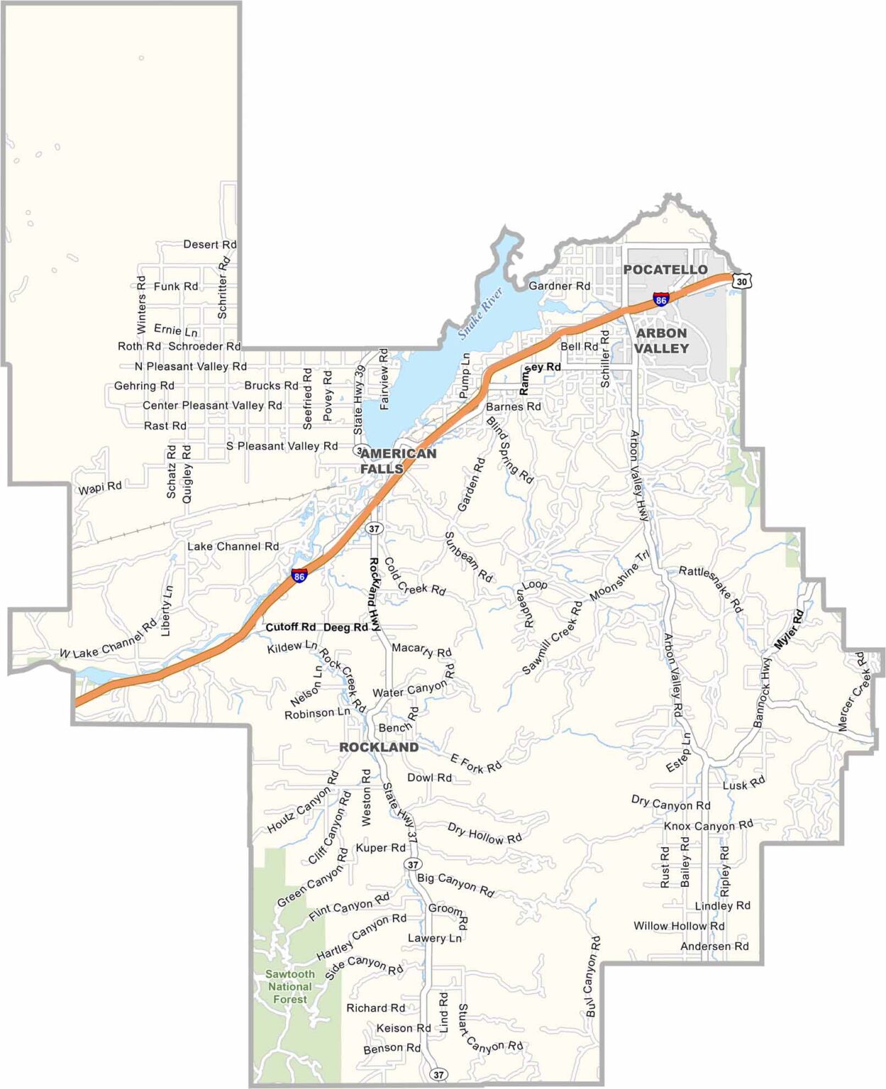
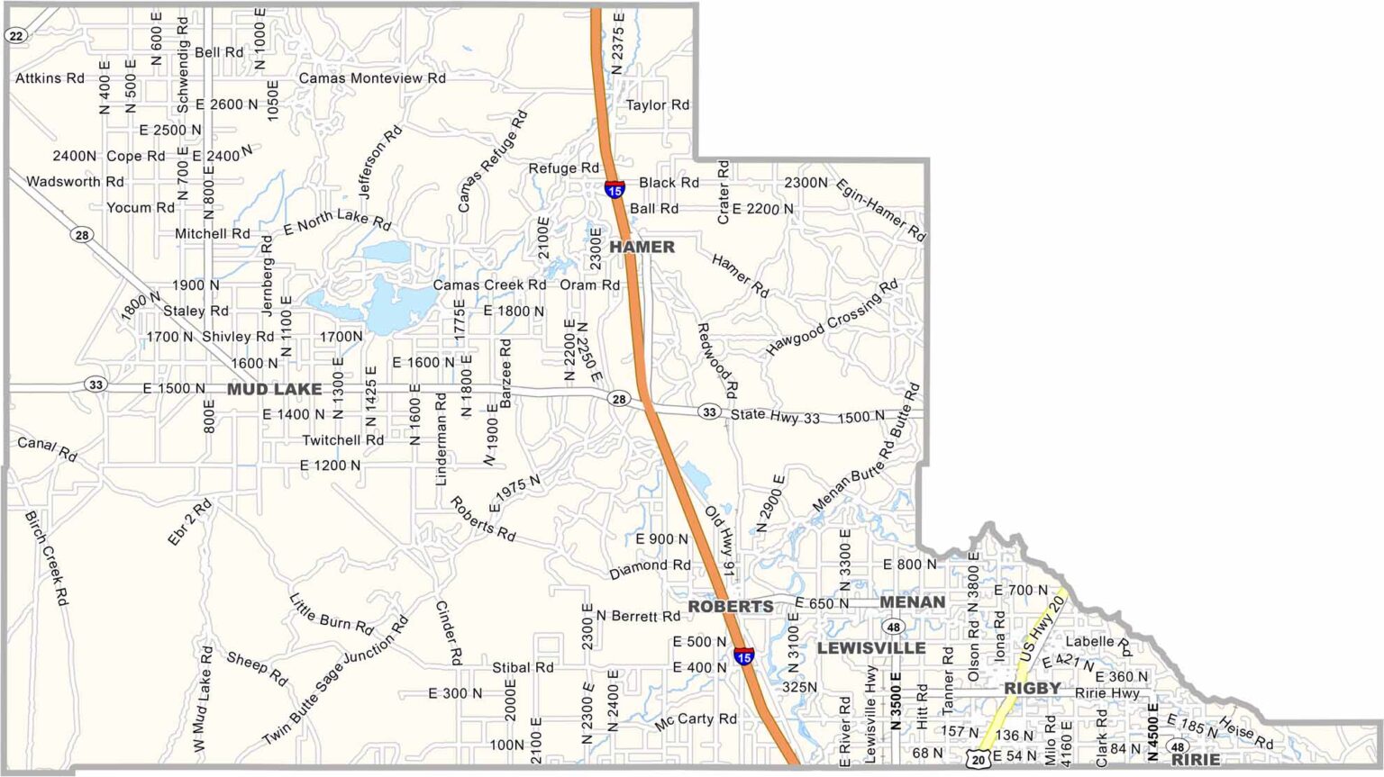
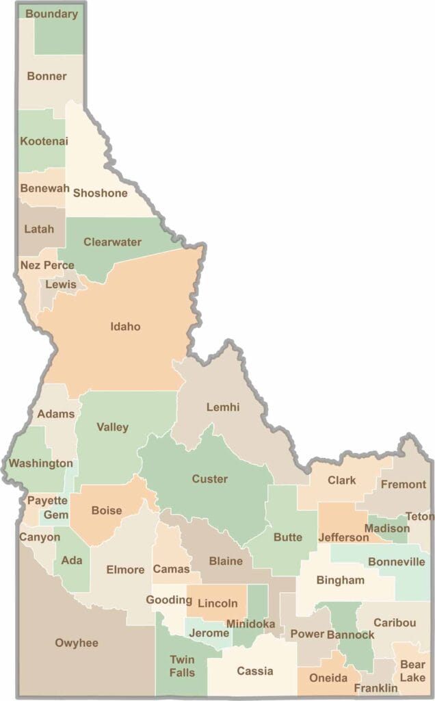
Discover the diverse landscapes of Idaho’s counties, from rugged mountain ranges and rolling plains to expansive forests and wild backcountry. Explore the vibrant heart of Boise, the scenic wilderness of Teton County, and the untamed forests of Shoshone County, each offering a unique glimpse into Idaho’s natural beauty.