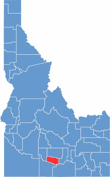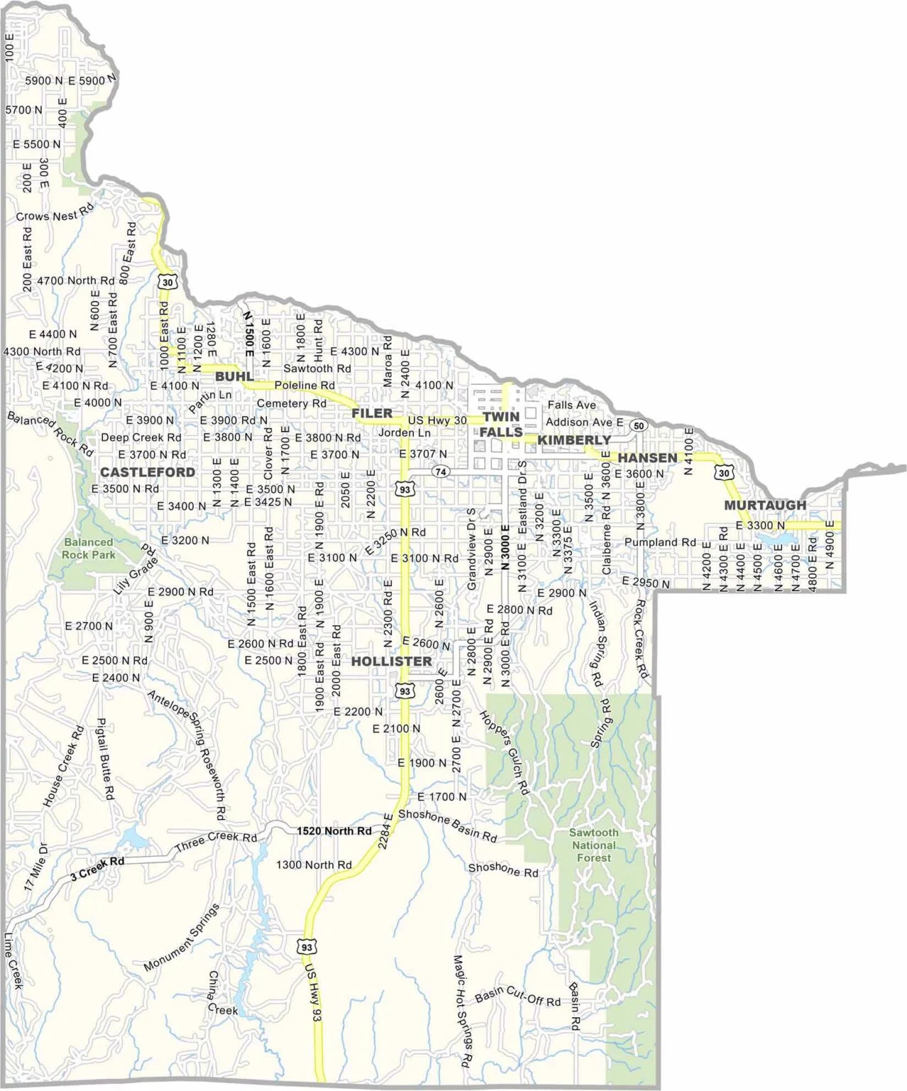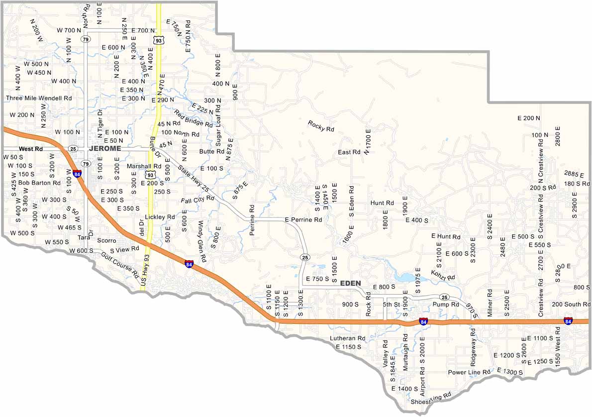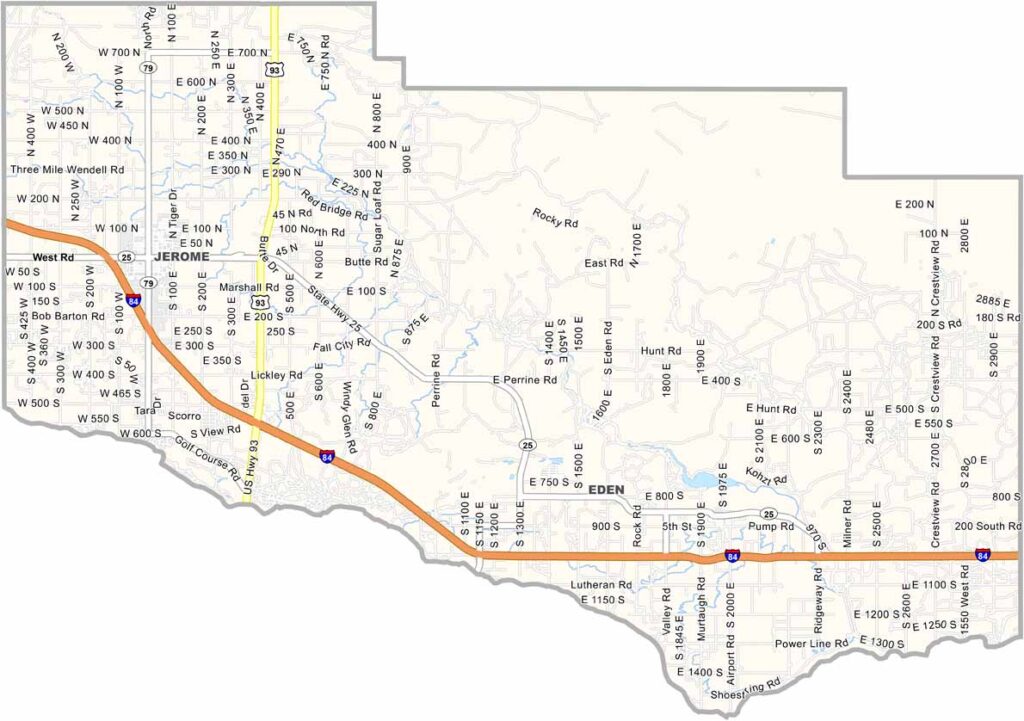
Jerome County is smack in the middle of southern Idaho. It’s mostly flat, with a few rolling hills here and there. The Snake River Canyon forms the southern border, and it’s quite a sight to see.
Jerome serves as the county seat and started out as a railway town. These days, agriculture is the name of the game, with dairy farms spread across the area. You definitely won’t have to wonder where the dairy farms are. The county is also known for its large cheese production.
Summers are hot and dry, which is great for growing crops, while winters can be tough but manageable for locals. The Oregon Trail passed through this area, and if you know where to look, you can still find traces of the old wagon routes. Jerome County may be rural, but it has plenty of Idaho history and character.