
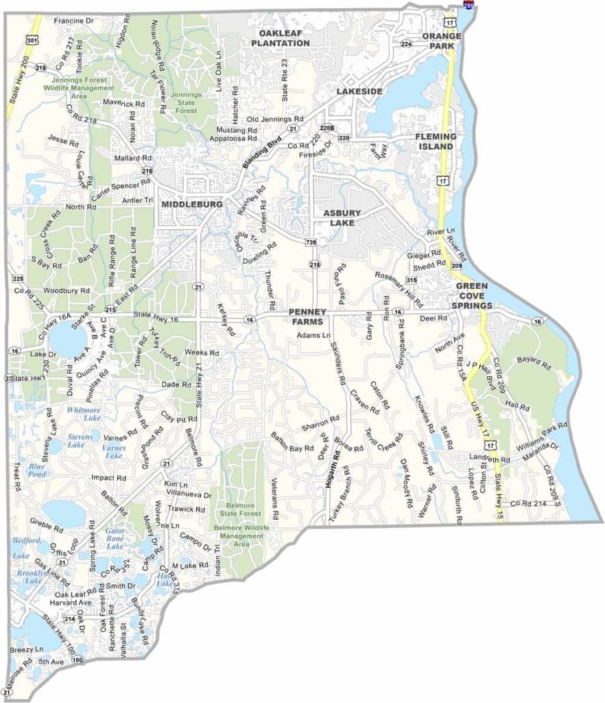
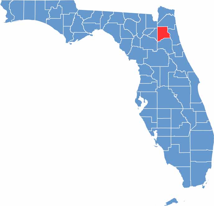
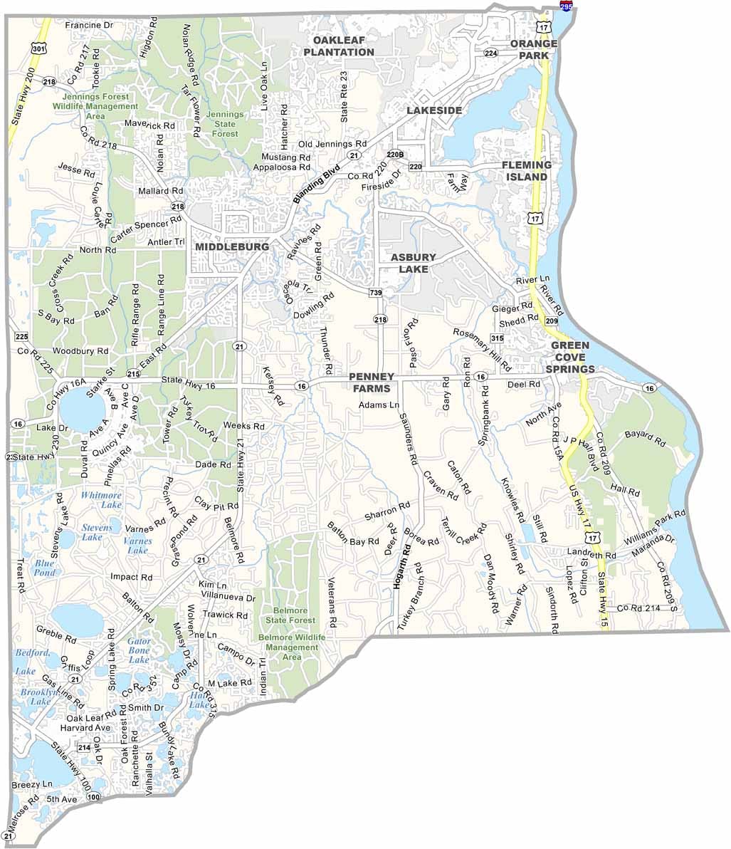
Clay County is located just southwest of Jacksonville in Northeast Florida, offering a combination of suburban neighborhoods and rural communities. Green Cove Springs serves as the county seat and is situated along the St. Johns River. The county’s convenient location makes it an attractive area for people looking for a quieter lifestyle near Jacksonville.
Military families make up an important part of the Clay County community. Orange Park, the county’s largest town, offers plenty of shopping, restaurants, and everyday amenities. The area also features several parks and boat ramps, while residents enjoy fishing and boating on the St. Johns River.
Despite its name, Clay County isn’t known for being made of clay. Instead, it has become an important bedroom community for Jacksonville, with many residents commuting to the city for work. The county continues to experience rapid growth, attracting new residents with its Florida sunshine, convenient location, and mix of suburban and rural living.
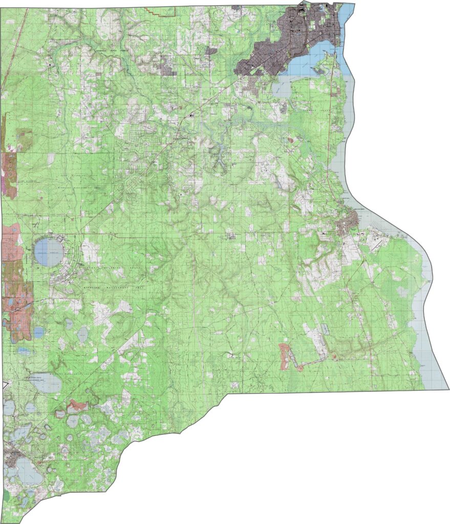
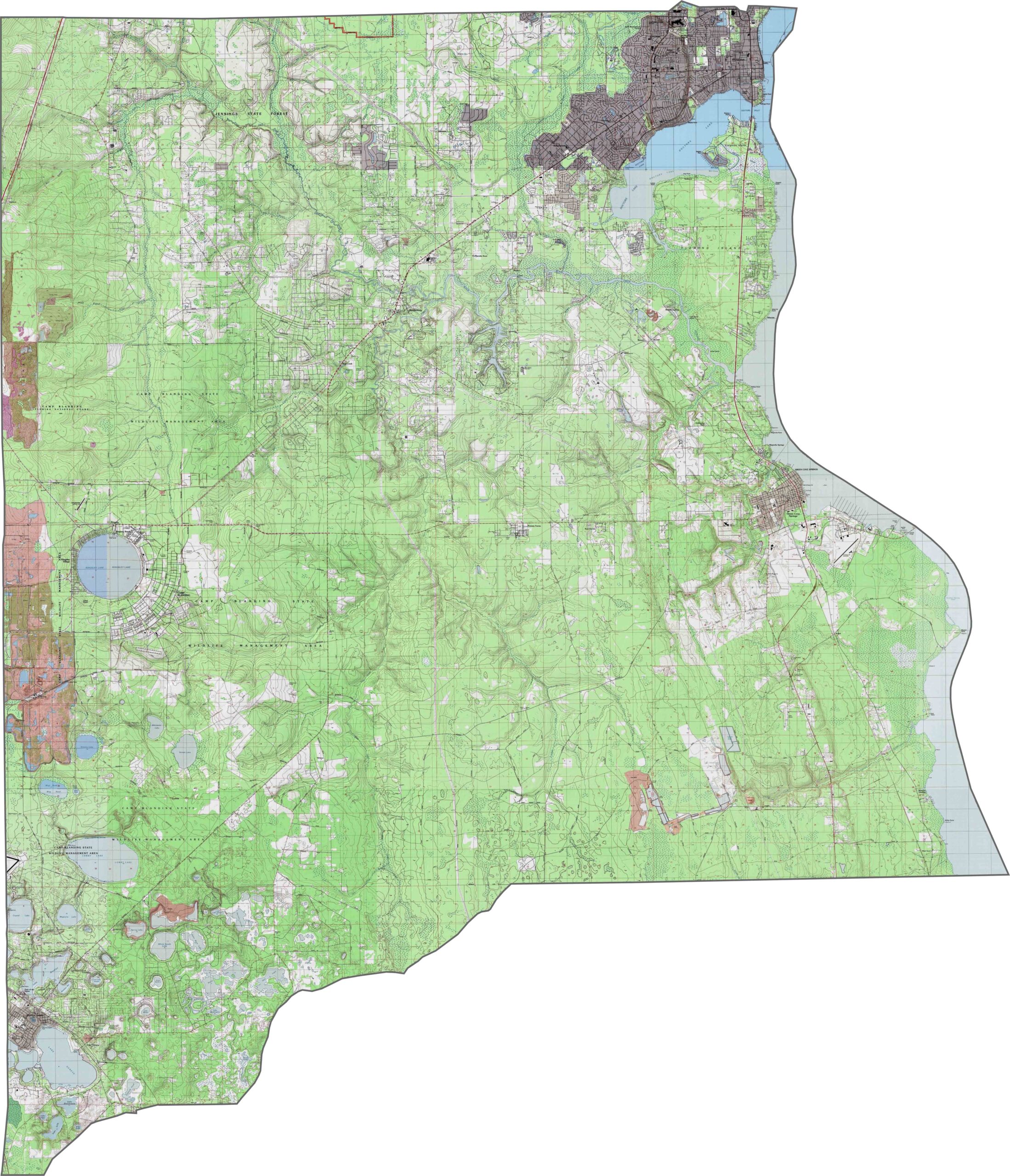
Clay County topography features growing communities such as Orange Park and Fleming Island along the St. Johns River. Use our zoom feature to explore the elevation changes between riverside developments and the more elevated western rural areas.
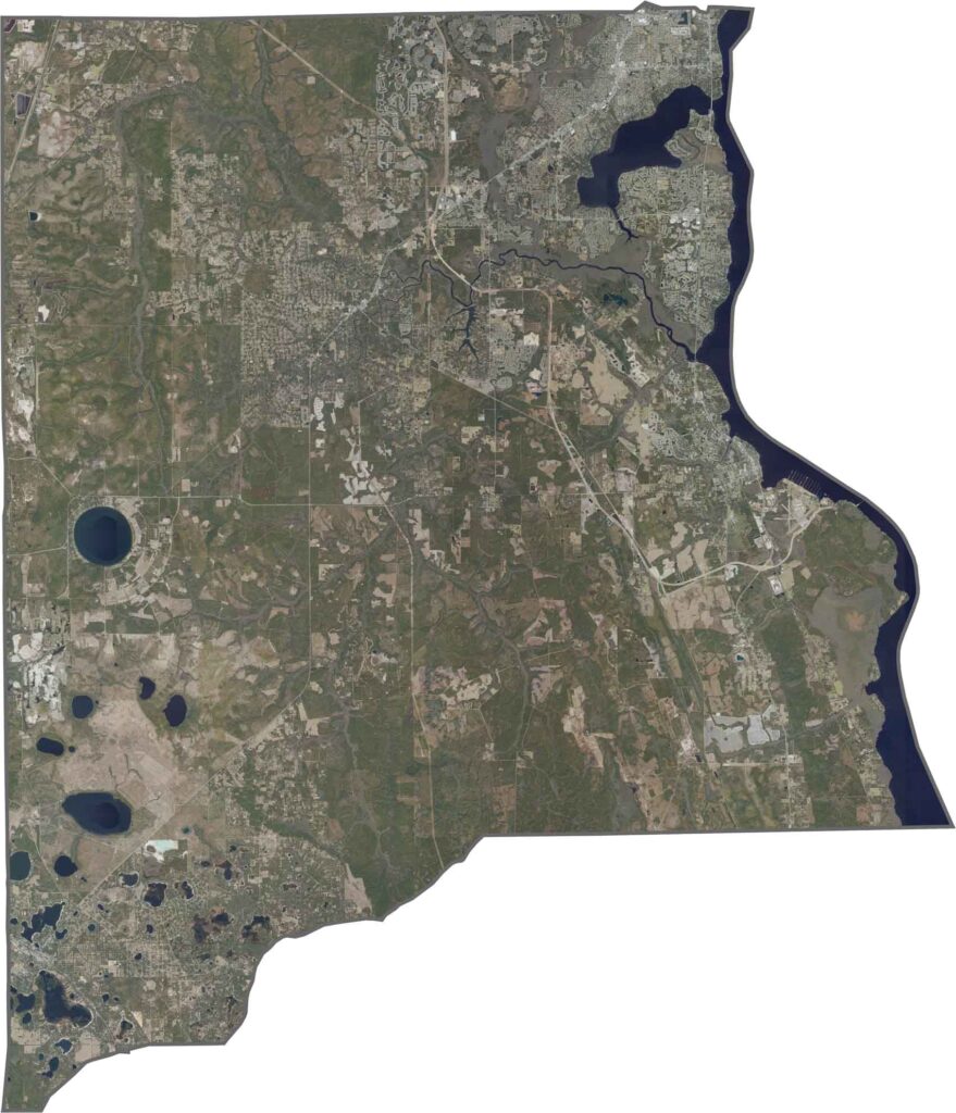
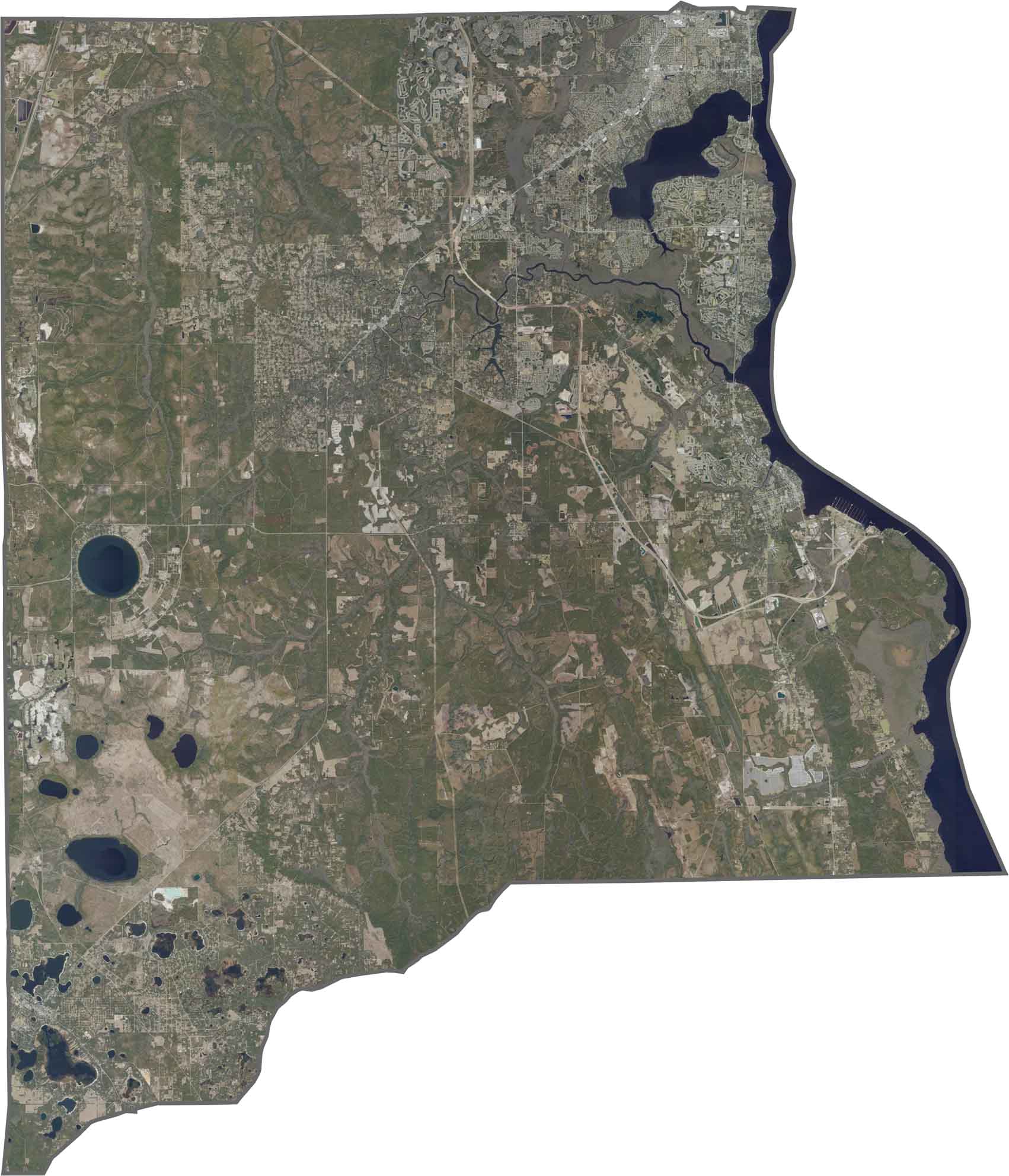
Our Clay County satellite map shows the broad St. Johns River forming the county’s entire eastern boundary. Black Creek branches through several parts of the county, creating an extensive local waterway network. Green Cove Springs appears along a bend in the river, highlighting its riverside location.
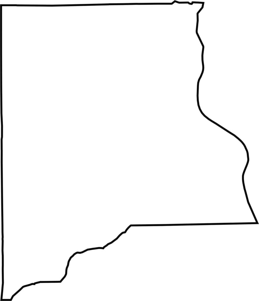
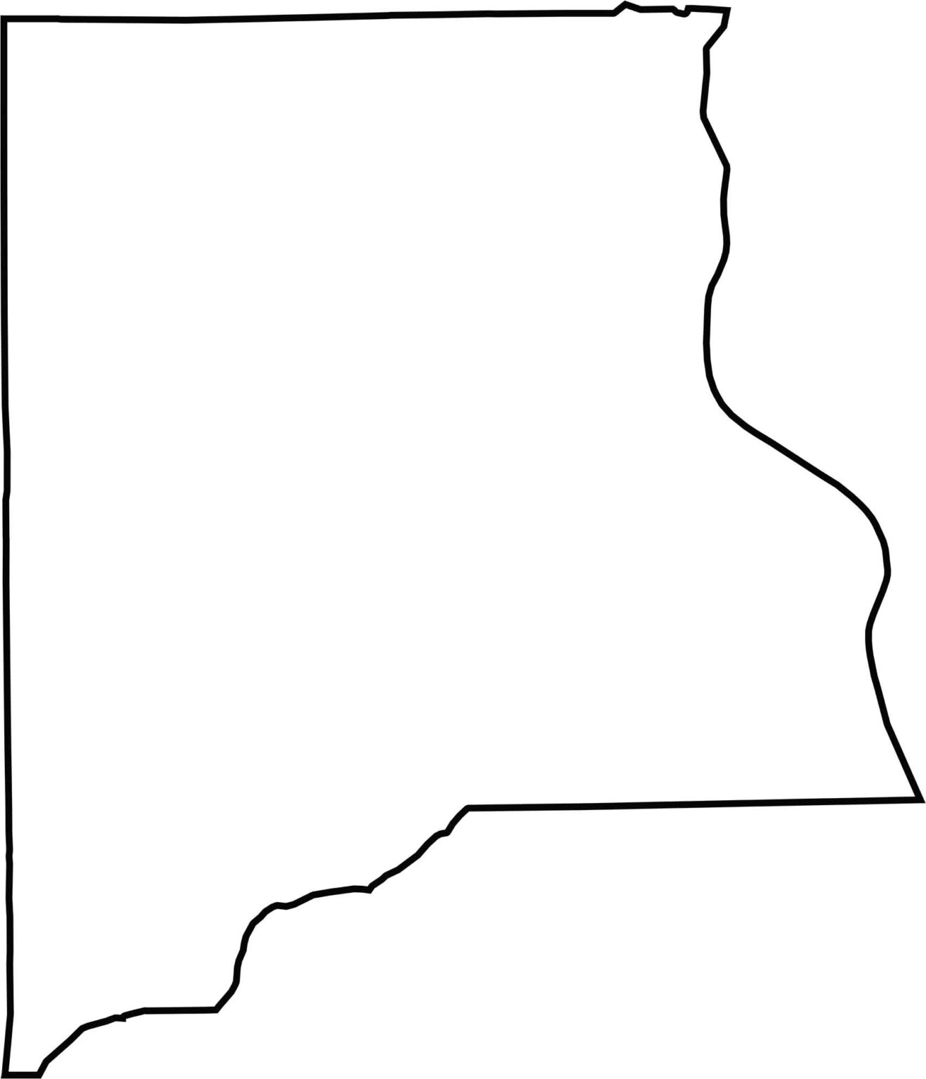
Our Clay County outline map showcases the county’s distinctive shape, with the St. Johns River creating its curved eastern boundary. The western boundary follows a relatively straight line, while the county becomes slightly narrower toward its southern end.







Looking for a county map of Florida? Our Florida County Map breaks down all 67 counties across the Sunshine State. Explore Florida through detailed topographic, satellite, and outline maps to better understand its geography, landscapes, and county boundaries.