
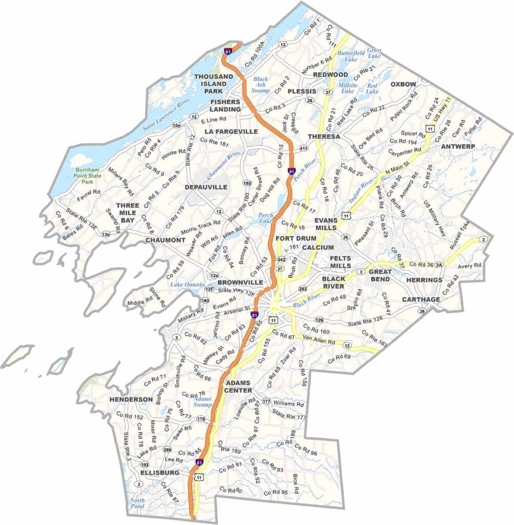
Jefferson County sits in northern New York, where the St. Lawrence River meets Lake Ontario. It’s a place of islands, lighthouses, and military history. Watertown serves as the county seat, combining urban amenities with a small-town feel.
The Thousand Islands region is a paradise for boating and fishing. Visitors also head to the Tug Hill region for hiking and world-class snowmobiling. You can’t talk about Jefferson County without mentioning Fort Drum, home to the 10th Mountain Division.
The county has deep connections to the War of 1812. Sackets Harbor, a village on Lake Ontario, played an important role during the conflict. The area is also known for its excellent cheese, with a festival that celebrates the local tradition.
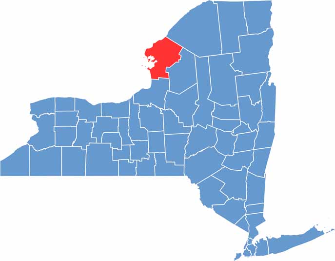
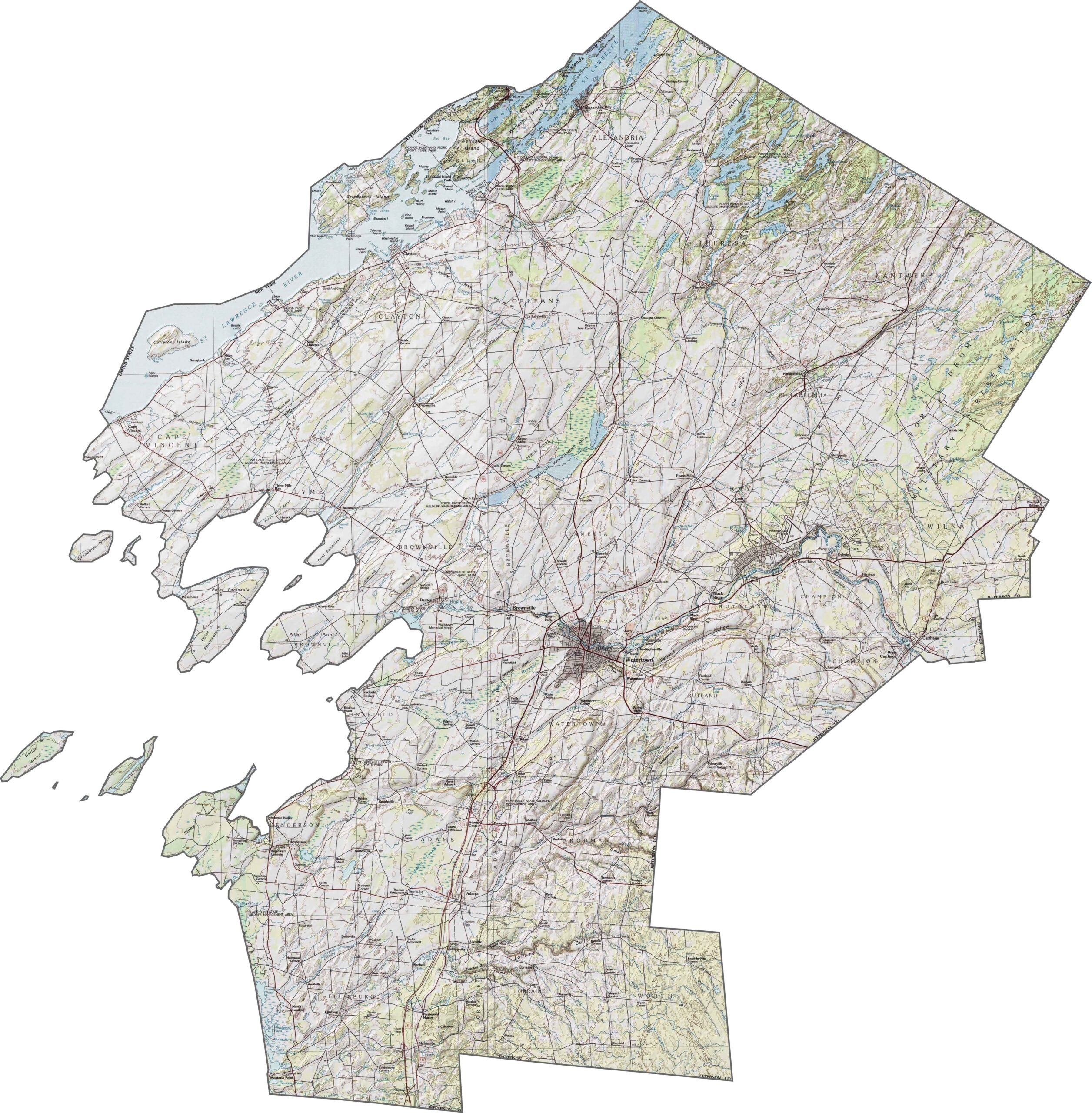
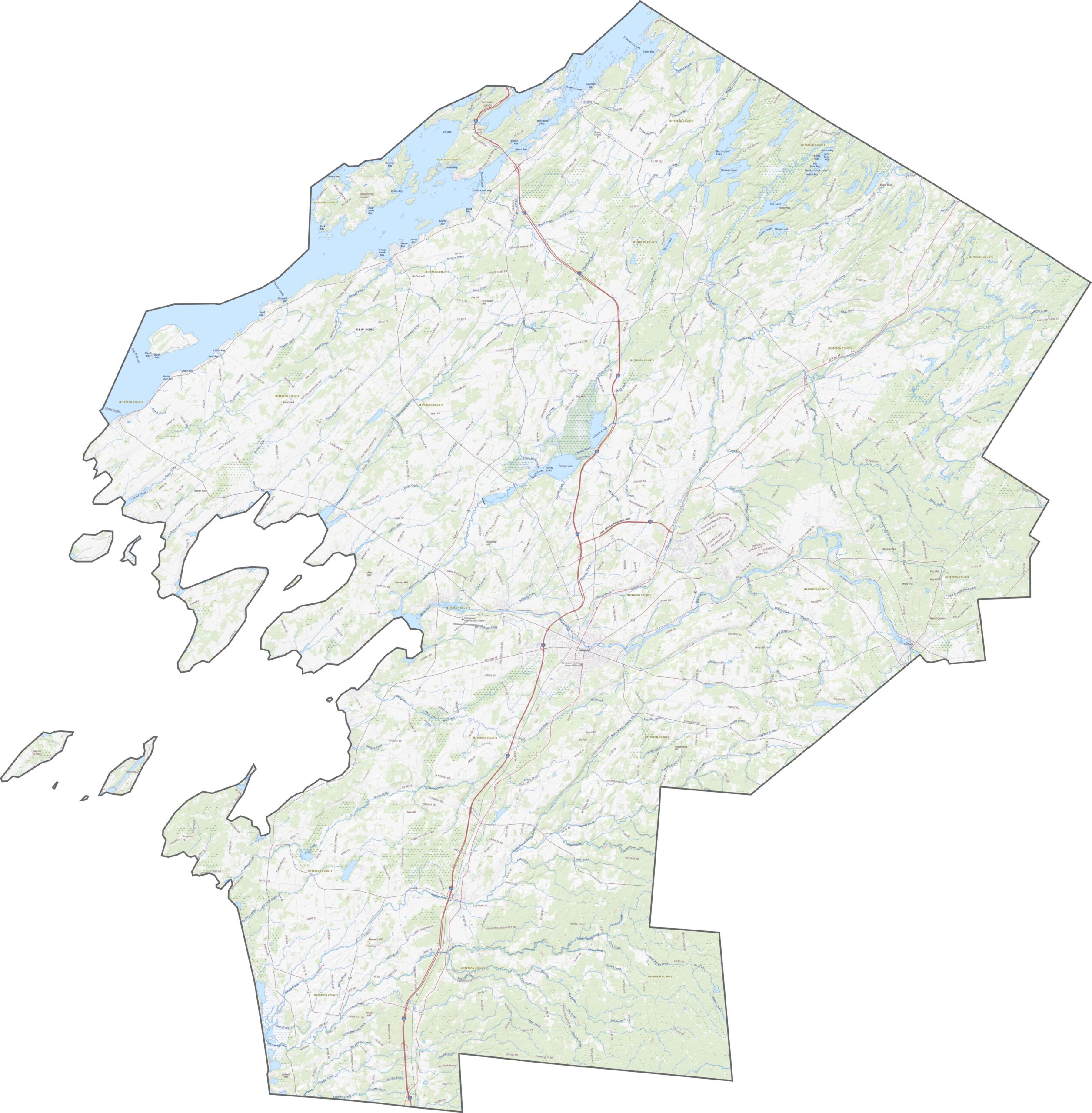
Jefferson County has gently changing elevations across the landscape. The western side flattens into lake plains, while rolling hills gradually rise farther inland. Streams flow west and north toward the St. Lawrence River. Explore the county in more detail with our zoom tool below.
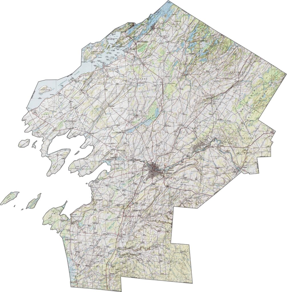
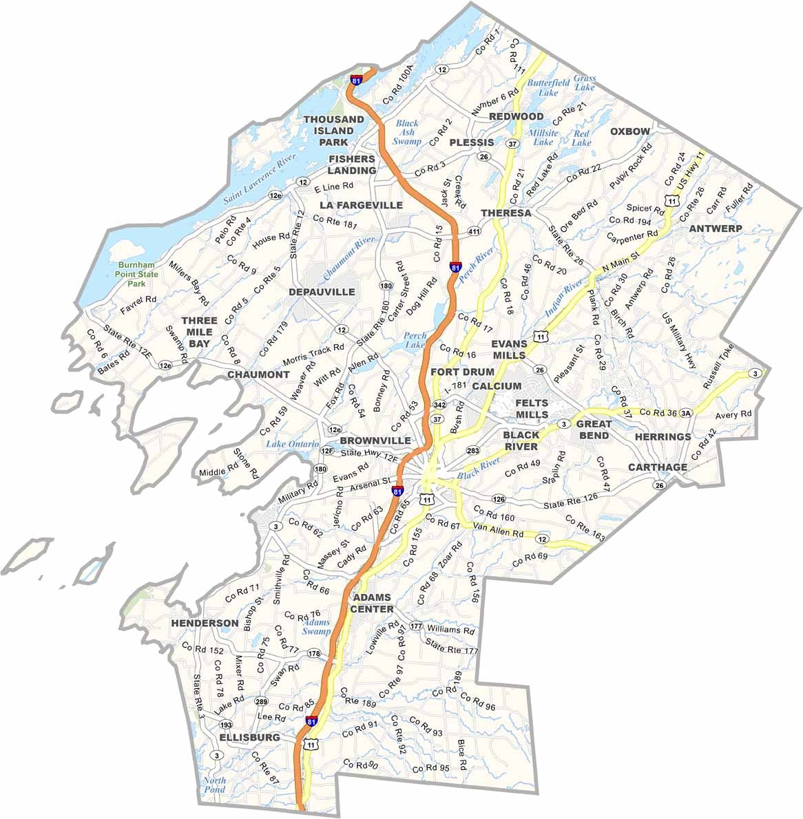
Jefferson County sits near the Canadian border at an important crossroads. Many routes follow the shores of Lake Ontario and the St. Lawrence River, while others head inland through farmland. County roads are generally long and rural.
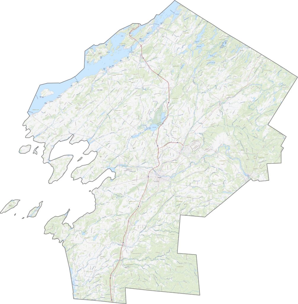
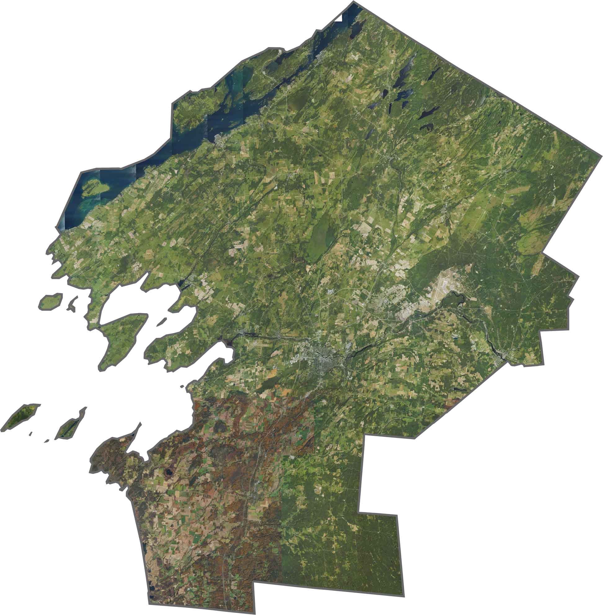
The Thousand Islands region is easy to recognize from above. Watertown stands out as a gray urban area, while forests and farmland cover much of the interior. The combination of open fields, woodlands, and water is especially clear in the satellite imagery.
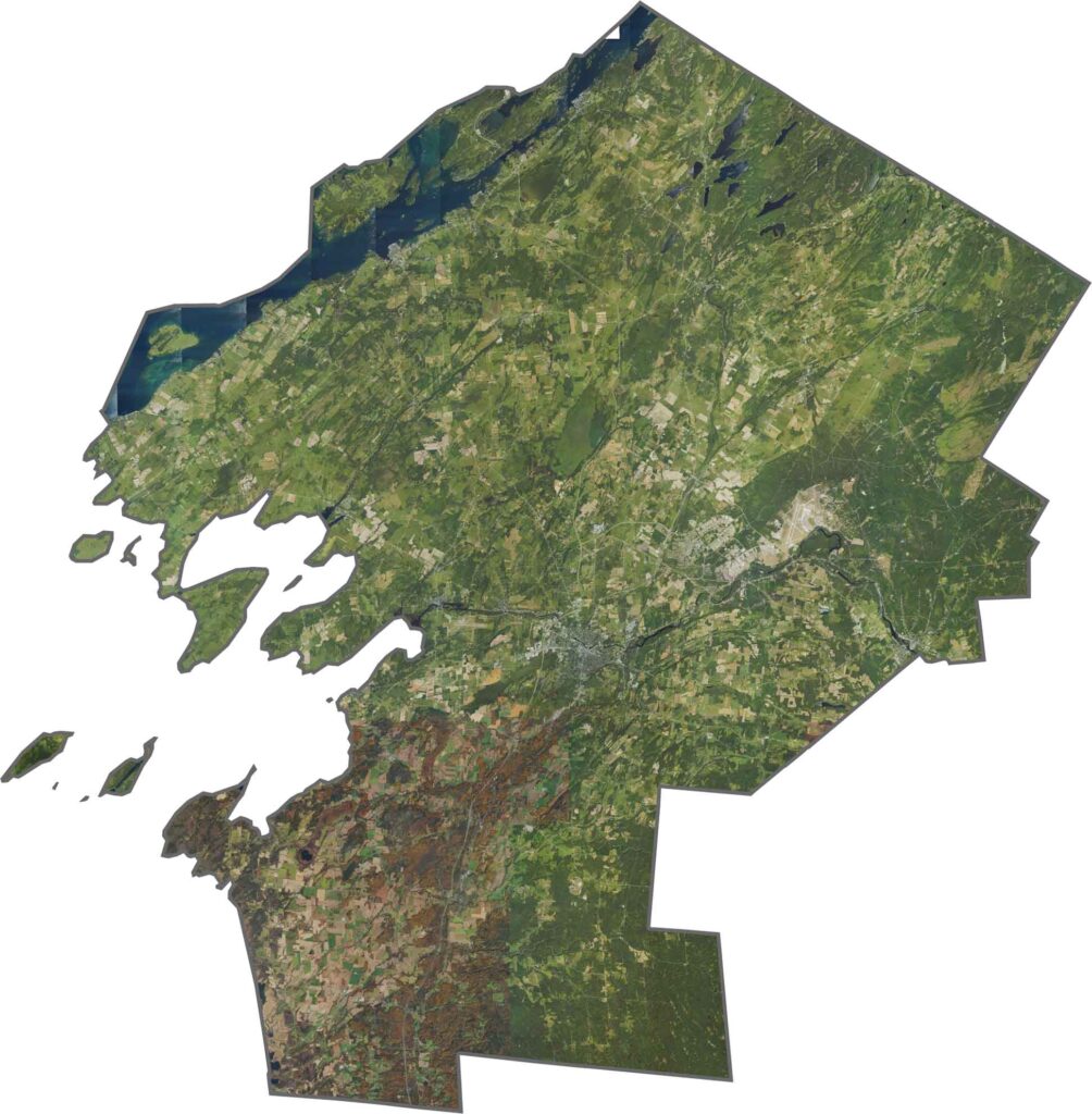
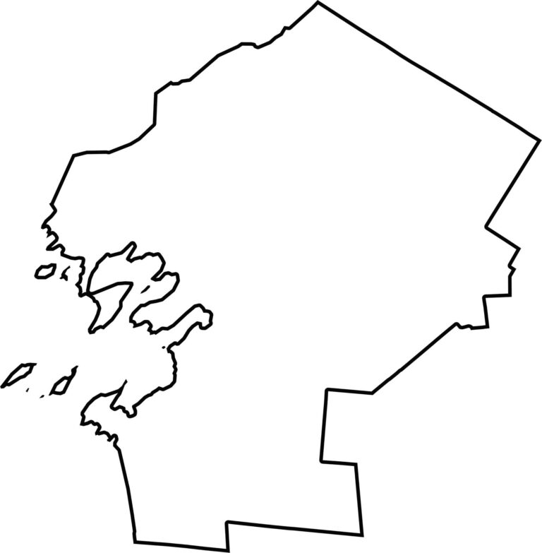
Jefferson County stretches along the St. Lawrence River and Lake Ontario. Water forms much of its northern and western borders, while the county also shares an international boundary with Canada.








New York has 62 counties, and each one has its own personality. From the nonstop energy of Manhattan to the quiet wilderness of the Adirondacks, there’s plenty of variety to explore. And yes, we can’t forget those famous Buffalo wings. Explore our New York county maps.