
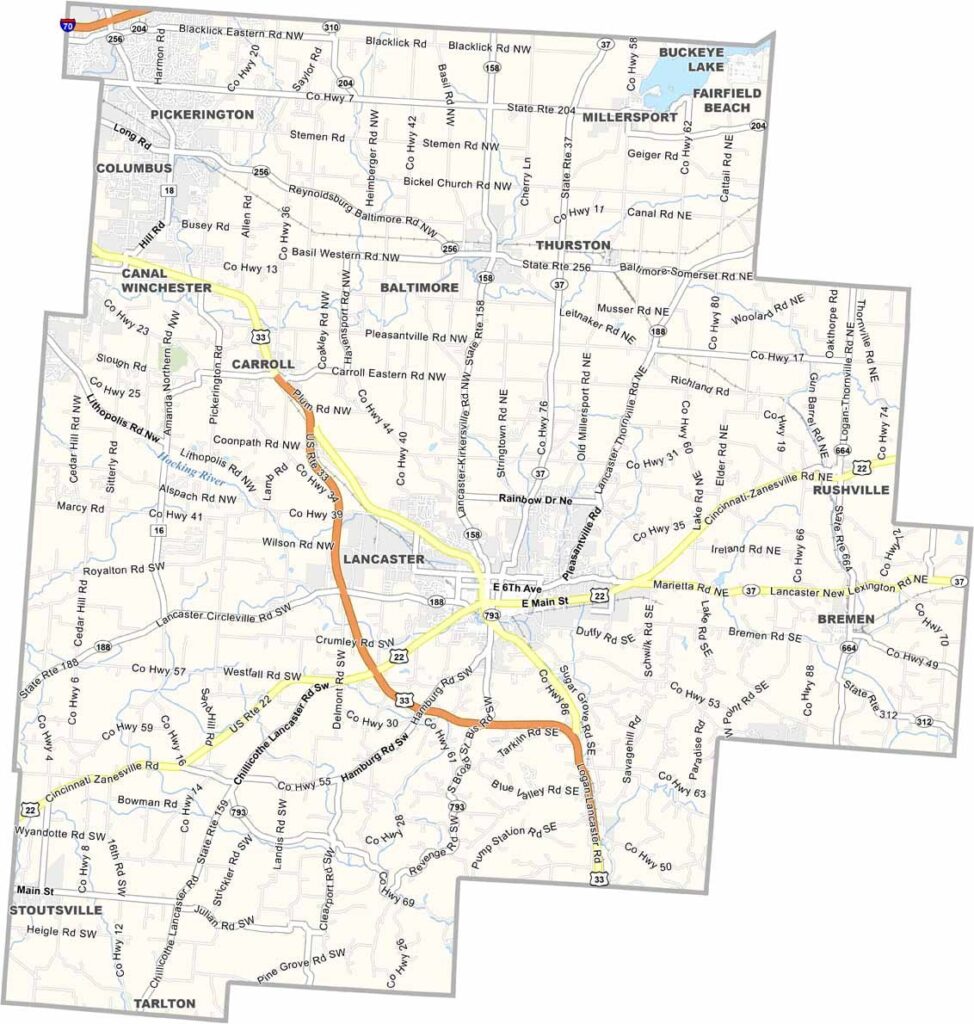
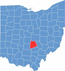
Fairfield County sits in the southeastern part of central Ohio. It offers plenty of modern amenities, with Lancaster serving as the county seat. The city is known for its beautiful downtown and historic covered bridges.
The county has strong connections to the glass industry, which you can explore at the Ohio Glass Museum in Lancaster. Outdoor enthusiasts often visit Hocking Hills State Park for its stunning rock formations and waterfalls. It’s truly breathtaking.
The Fairfield County Fair, held every October, is one of Ohio’s oldest county fairs. Agriculture remains an important part of the local economy, with plenty of cornfields and dairy farms across the area. Its location along U.S. Route 33 also makes the county easy to reach.
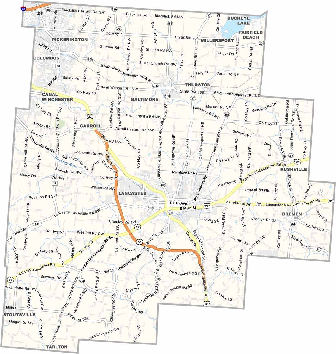
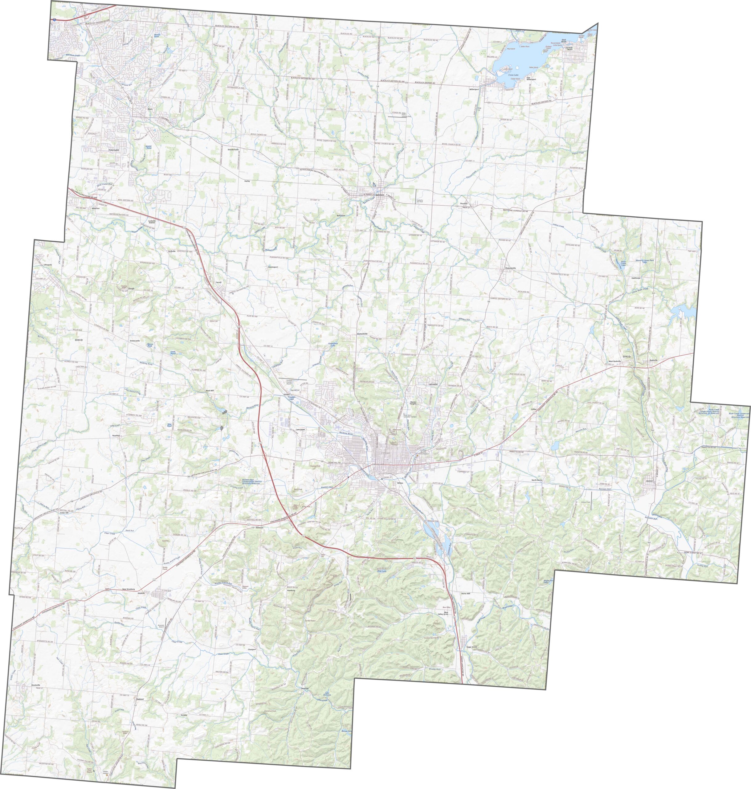
U.S. Route 33 runs from southeast to northwest through Fairfield County, passing through Lancaster before continuing toward Columbus. Although no interstate crosses the heart of the county, the major highways remain busy. Use our zoom feature below to follow the main routes in greater detail.
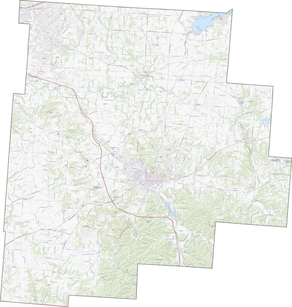
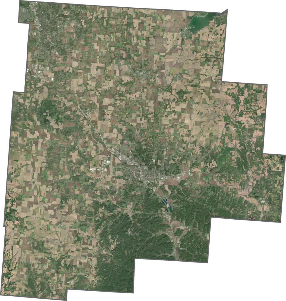
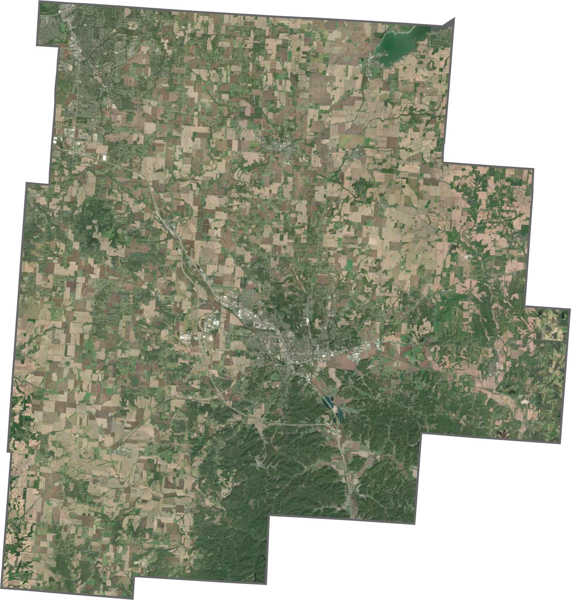
From above, Lancaster stands out near the center of the county. While suburban development continues to grow, much of the landscape remains rural. Fields stretch in every direction, while wooded hills are more common in the south. Buckeye Lake appears as a broad, irregular patch near the northeastern border.
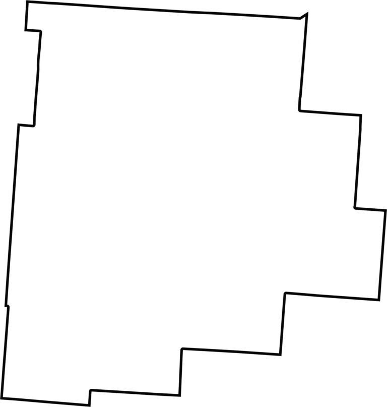
Fairfield County has a stretched, somewhat irregular outline. Its boundaries are mostly straight, and it does not border another state. No single river defines the county’s shape.








Forget the coast. Ohio’s 88 counties are where everyday America comes alive. No pretense, no postcard perfection—just hardworking towns and quiet backroads that grow on you. This is the Midwest without the filter.