
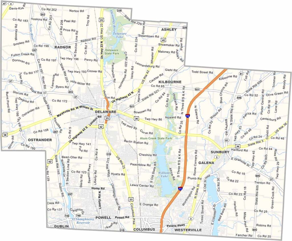
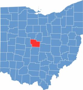
Delaware County sits just north of Columbus, where history and progress come together. The county seat, Delaware, is home to Ohio Wesleyan University.
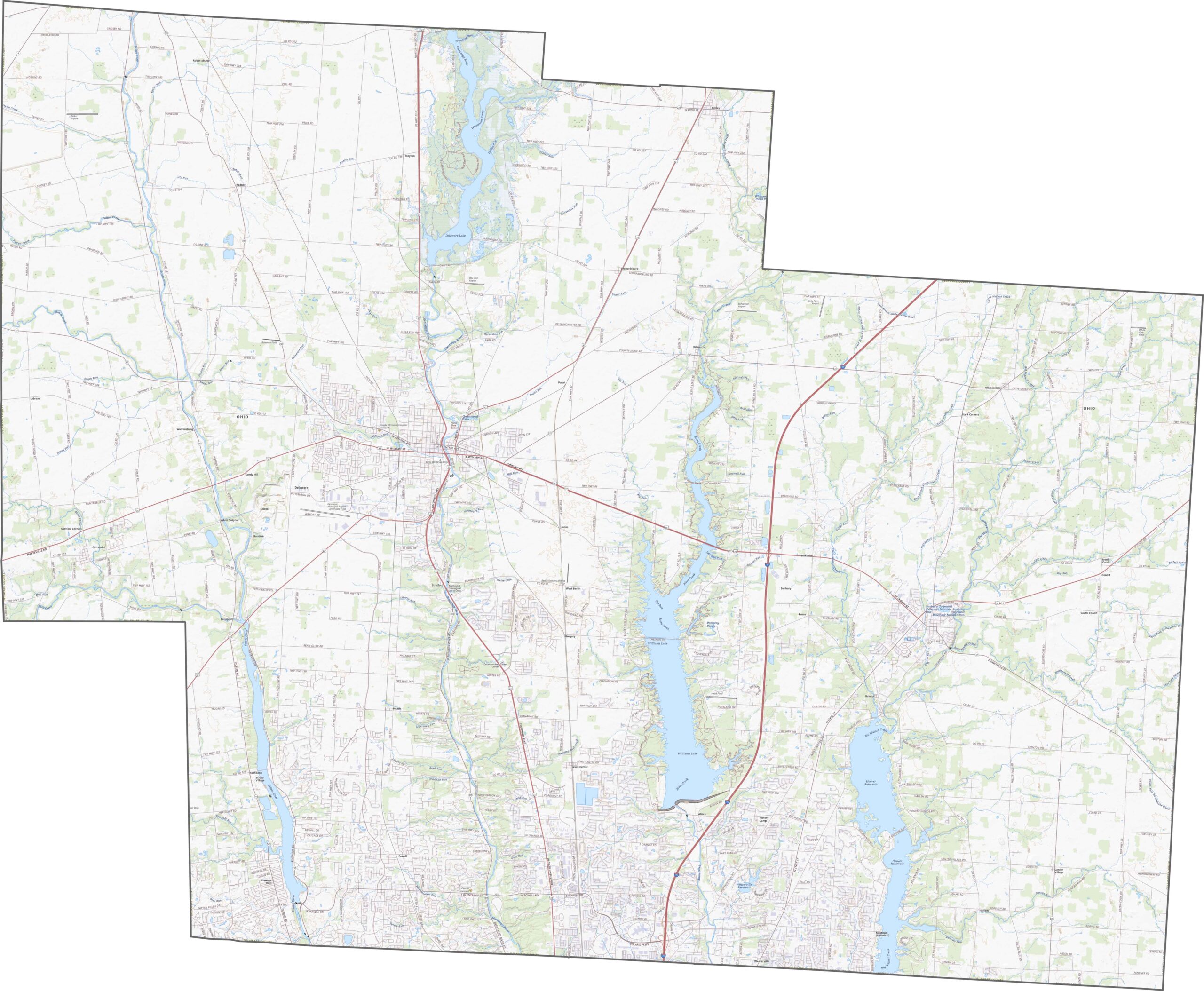
Outdoor enthusiasts can enjoy Alum Creek State Park, which offers plenty of opportunities for boating, fishing, and hiking. The county has also experienced rapid growth in recent years, with new developments appearing throughout the area.
Even with that growth, there’s still plenty of farmland and open space. The Columbus Zoo and Aquarium sits in the southwestern part of the county and features a hands-on tide pool, reptile house, kangaroo walkabout, and much more.
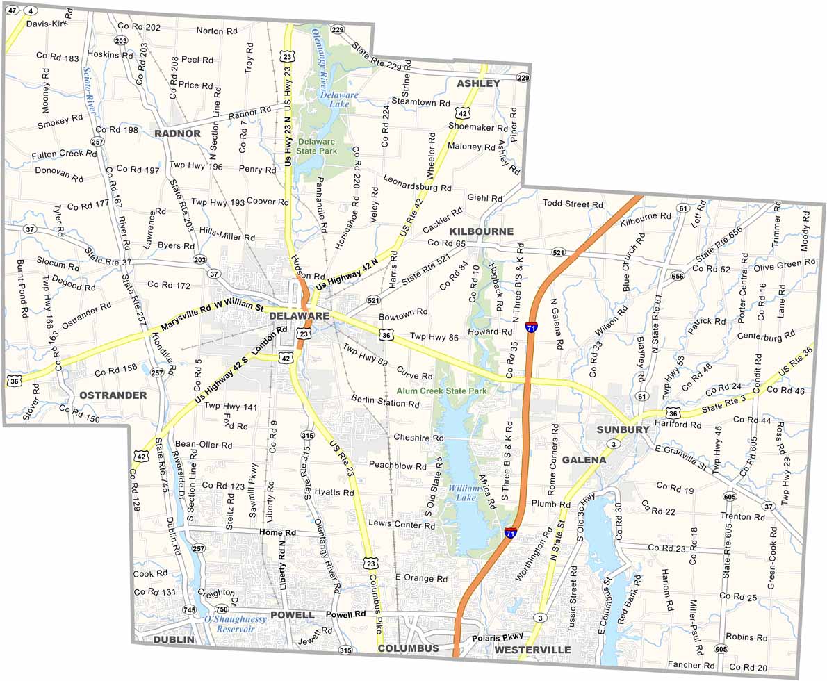
U.S. Route 23 and Interstate 71 run through the middle of Delaware County, providing north-south connections between the communities. State Routes 36 and 42 link the rest of the area. Despite the county’s growing population, traffic generally remains manageable.
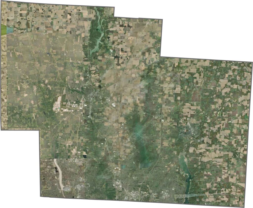
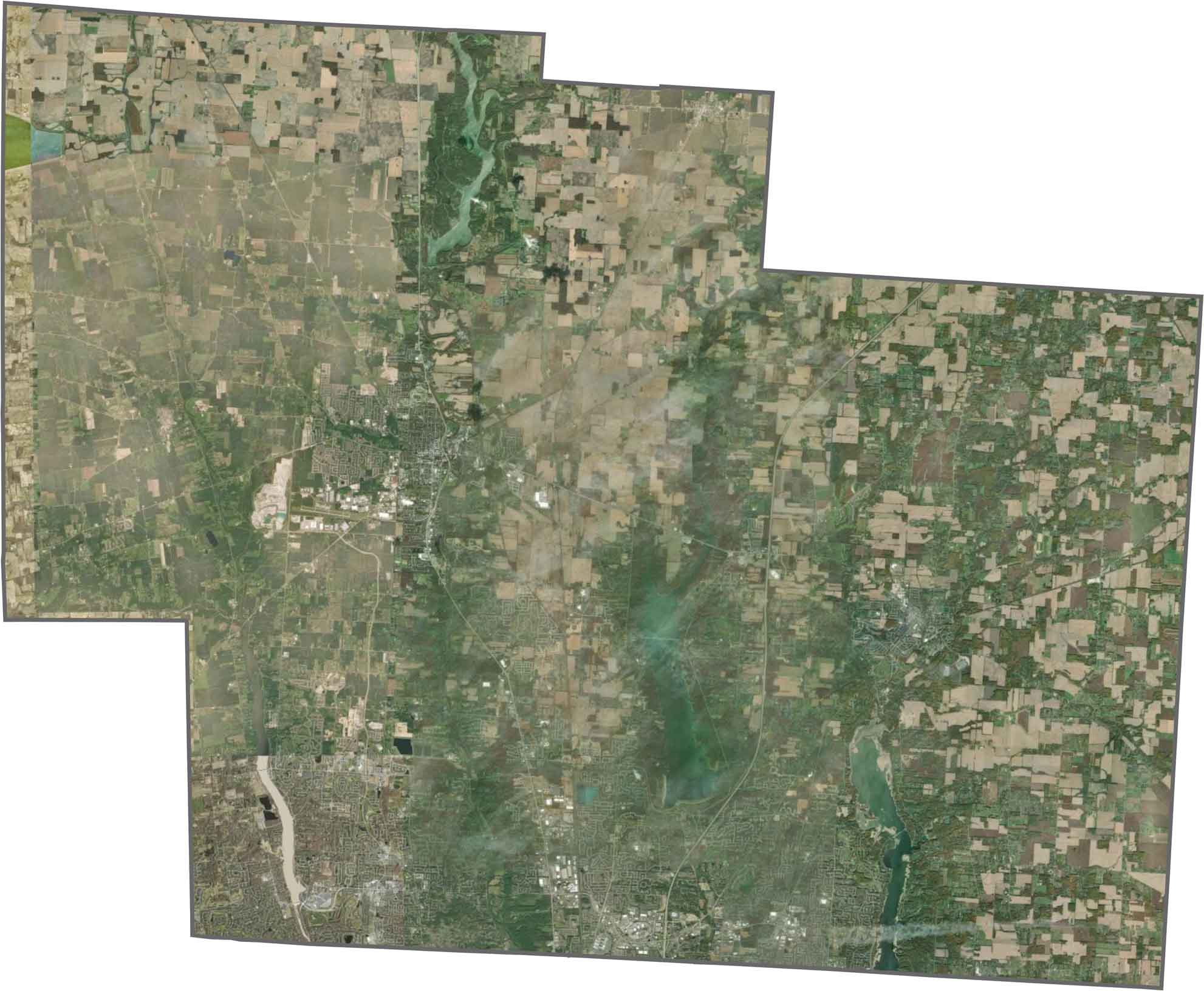
From above, Delaware County shows a rapidly growing suburban landscape. Delaware city and the Polaris area stand out with dense development, while farmland and wooded areas stretch across the surrounding countryside. Large reservoirs, including Delaware Lake and William Lake, also stand out with their broad, dark surfaces.
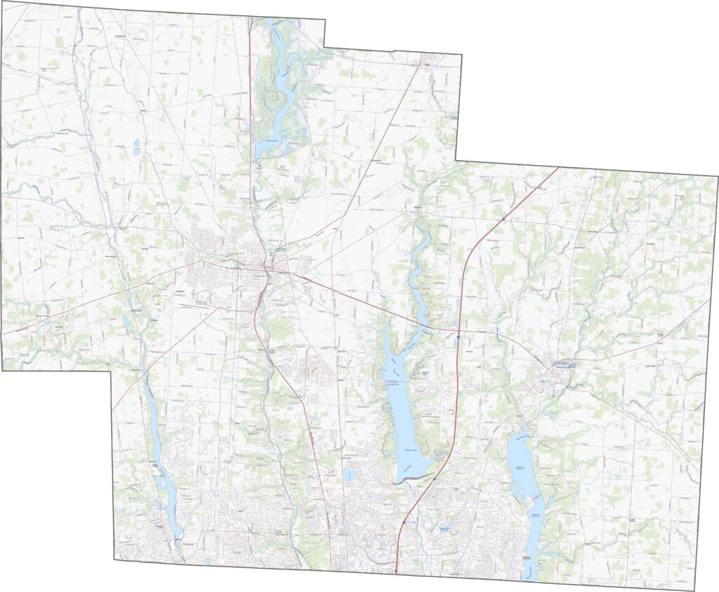
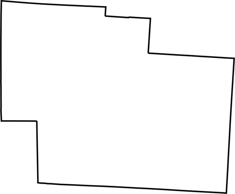
Delaware County has a mostly rectangular outline, although it isn’t perfectly uniform. It does not border another state. The Scioto River curves through the western part of the county without forming its boundary. Most of the remaining borders follow straight survey lines.








Forget the coast. Ohio’s 88 counties are where everyday America comes alive. No pretense, no postcard perfection—just hardworking towns and quiet backroads that grow on you. This is the Midwest without the filter.