
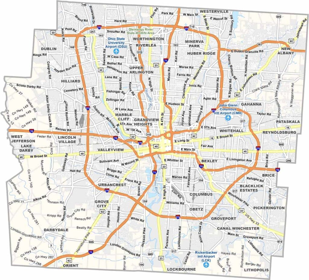
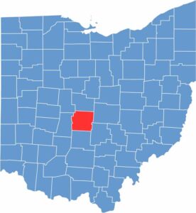
Franklin County lies at the heart of Ohio and is home to the state capital, Columbus. It’s a hub of politics, education, and culture. Ohio State University dominates the northern part of Columbus and is one of the largest universities in the United States by enrollment.
You can’t miss the iconic Statehouse downtown, a beautiful example of Greek Revival architecture. The county also has a thriving food scene, from German Village to North Market. Art lovers flock to the Short North district for its galleries and monthly Gallery Hop.
The Columbus Zoo is one of the nation’s best and is located just north of the county. Franklin County is crisscrossed by major highways, making it easy to reach. With more than 1.3 million residents, it’s the most populous county in Ohio. There’s always something happening here, especially with the NHL’s Blue Jackets.
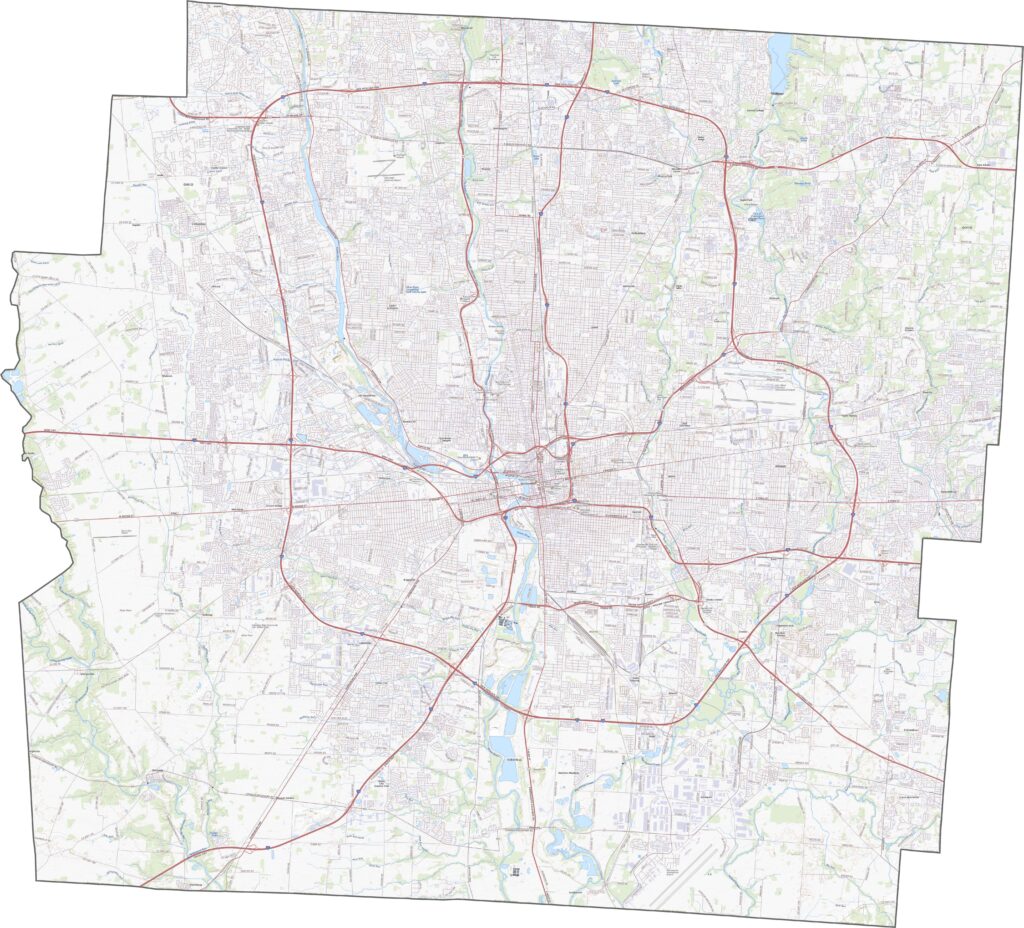
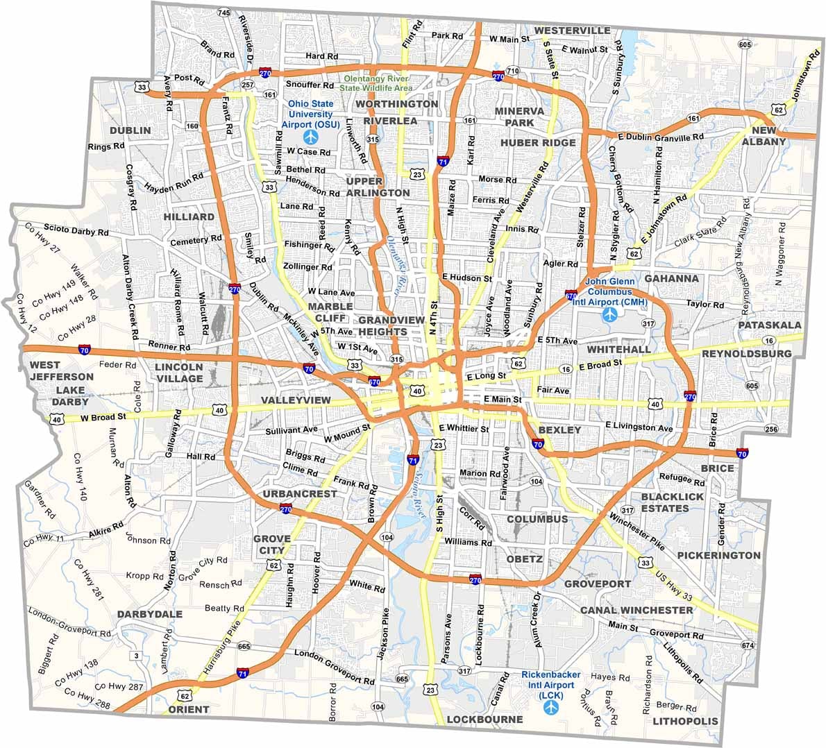
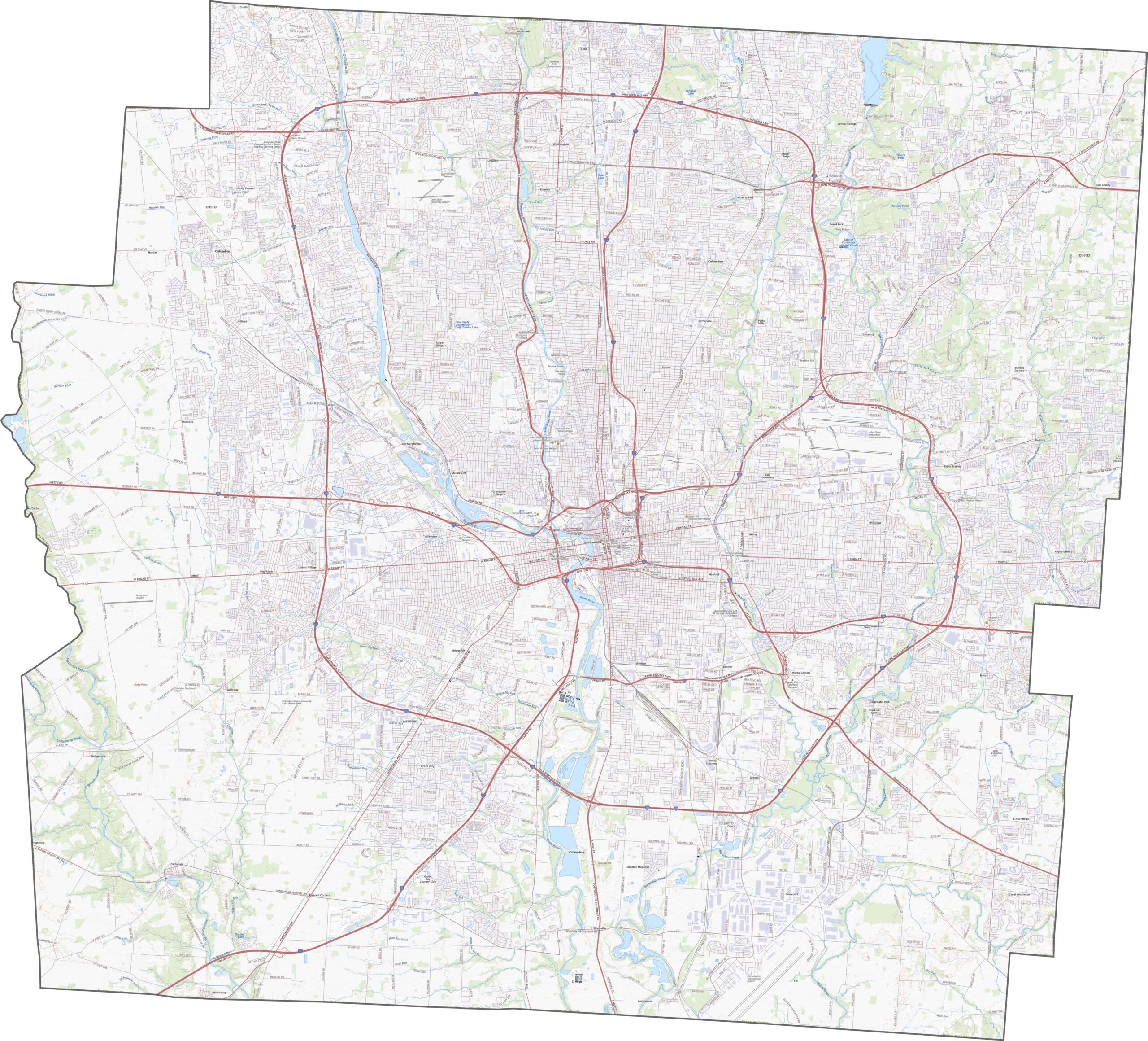
Franklin County is a major highway hub in Ohio. Interstates 70 and 71 cross through downtown Columbus, while I-270 circles the county. Traffic stays busy, but the extensive road network provides connections throughout the area. Use our zoom tool below to explore the interchanges, highways, and overpasses in greater detail.
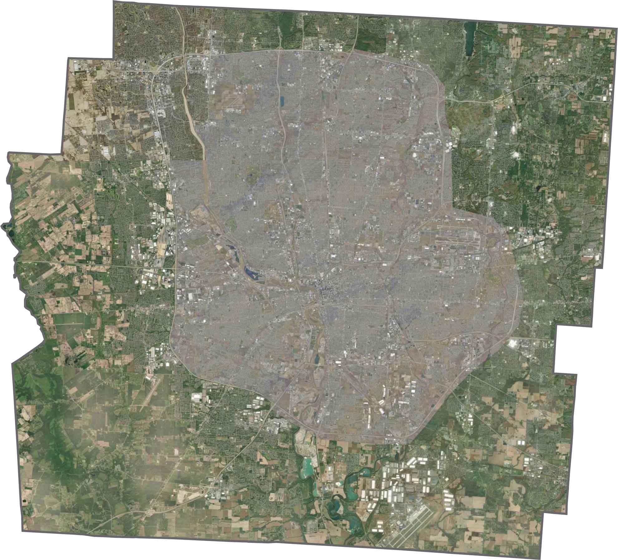
From above, Columbus clearly dominates the center of the county. Highways, neighborhoods, and rooftops are packed closely together, while the Scioto and Olentangy rivers wind through the developed landscape. Although suburbs continue to spread outward, farmland still remains along the edges.
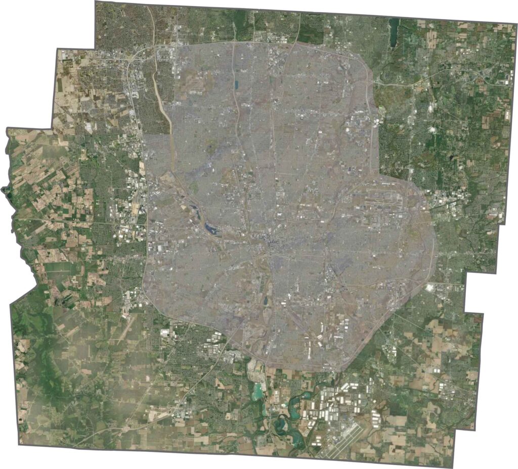
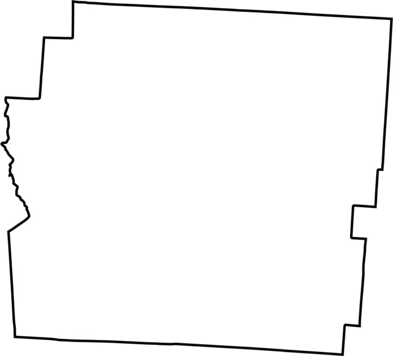
Franklin County has an irregular shape made up of many straight boundaries, though they are not symmetrical. It does not border another state. The only major waterway along its boundary is Big Darby Creek on the western side.








Forget the coast. Ohio’s 88 counties are where everyday America comes alive. No pretense, no postcard perfection—just hardworking towns and quiet backroads that grow on you. This is the Midwest without the filter.