
Licking County is just a short distance from Columbus in central Ohio. This place has a little bit of everything, including a thriving arts scene with funky galleries, live music, theater productions, and more.
Newark serves as the county seat and is home to some of the most impressive Native American earthworks you’ll ever see. Massive mounds built more than 2,000 years ago still stand here, and they’re truly something to see.
Nature lovers have plenty to explore, too. Blackhand Gorge State Nature Preserve is a local favorite, while the county is also known for quirky attractions like the world’s largest basket—a seven-story office building shaped like a basket.
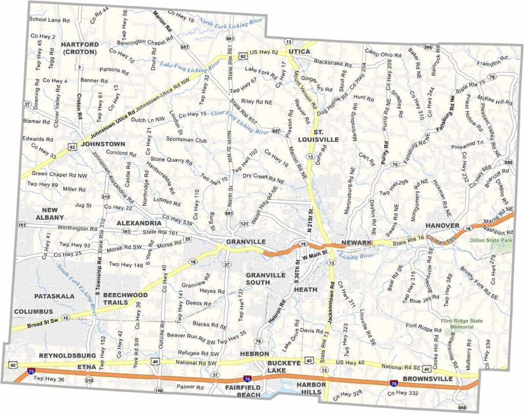
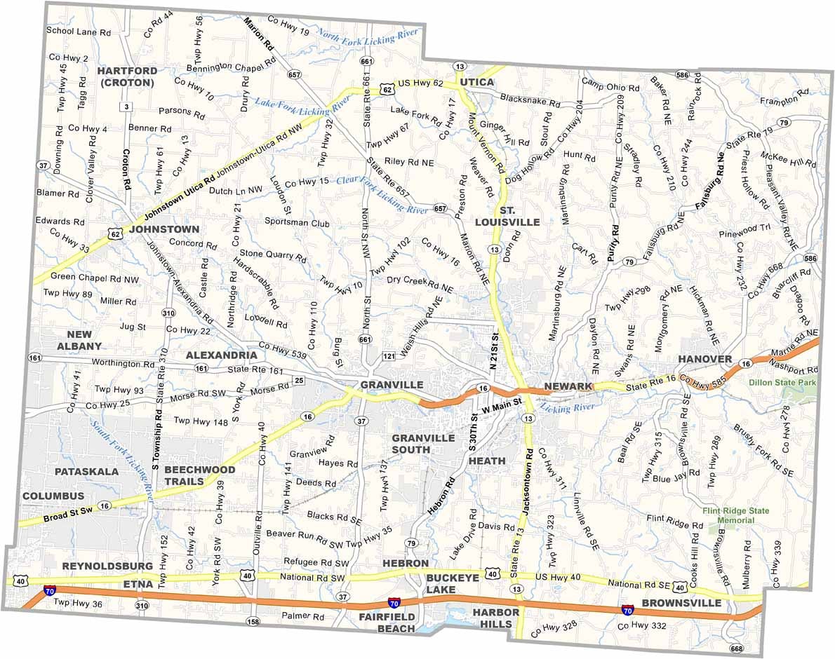
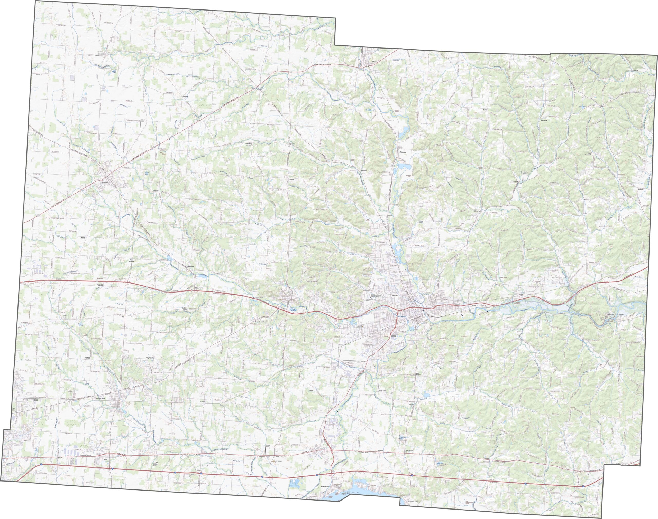
Licking County is connected by a straightforward highway network. Major roads link the county’s communities, making it easy to travel throughout the area. Use our zoom tool below to explore the highways and major routes in greater detail.
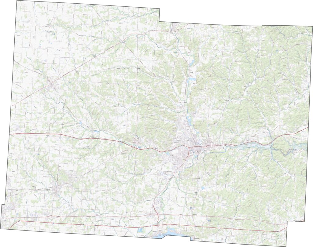
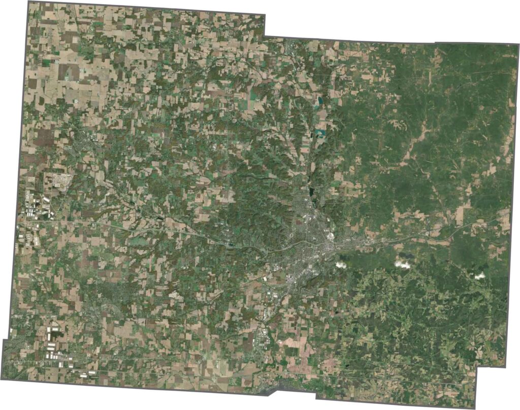
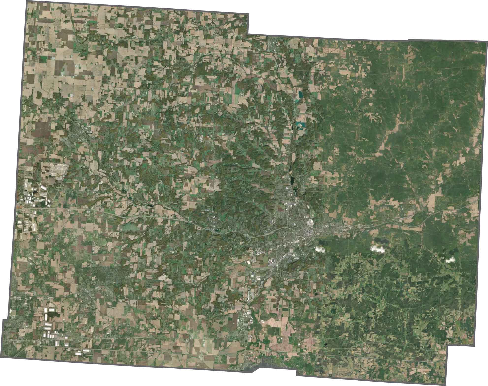
From above, the county shows a mix of urban, agricultural, and green areas. Newark and other town centers stand out, while farms and small wooded areas fill the spaces between them. Built-up areas sit alongside open fields, and winding waterways add gentle curves to the landscape.
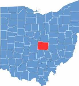
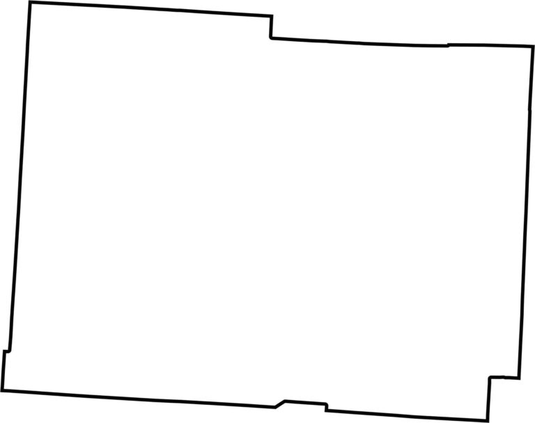
Licking County has a compact, clearly defined shape. It lies entirely within Ohio, near the central part of the state.








Forget the coast. Ohio’s 88 counties are where everyday America comes alive. No pretense, no postcard perfection—just hardworking towns and quiet backroads that grow on you. This is the Midwest without the filter.