
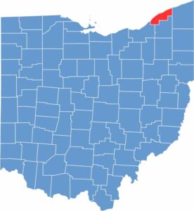
Lake County sits along the shores of Lake Erie in northern Ohio. It’s just a short distance from Cleveland but feels like a world away. The area offers everything from beaches to vineyards.
Mentor Headlands Beach State Park is home to the longest natural sand beach in Ohio. Farther inland, rolling hills and picturesque farms fill the landscape, along with plenty of farm-to-table restaurants and wineries.
The county also has a rich history. James A. Garfield, the 20th U.S. president, called Lake County home, and his estate is now a national historic site. With a population of around 240,000, there’s always something happening in Lake County.
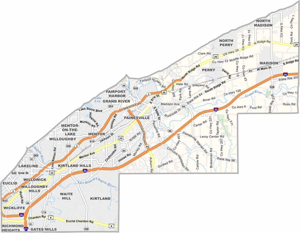
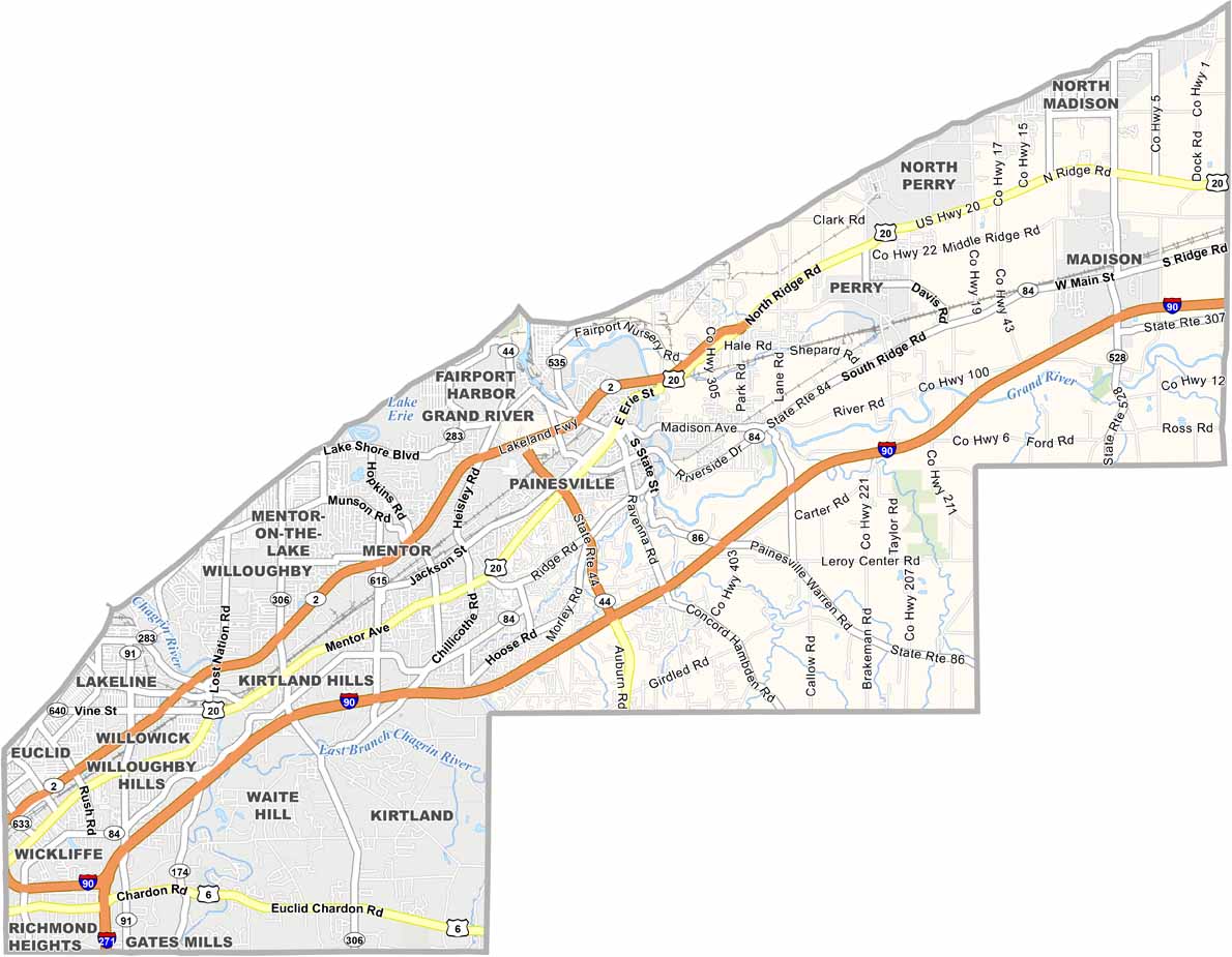
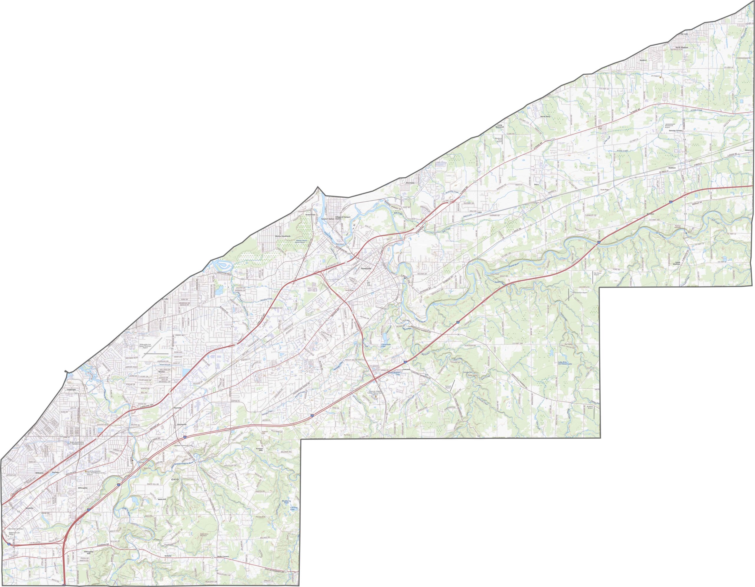
Lake County is crossed by several important routes. Interstate 90 runs east to west across the county, while U.S. Route 20 winds through the area. Some sections can get busy with traffic, but quieter stretches appear in the rural areas. Smaller state roads also provide important local connections. Use our zoom tool below to explore the routes in greater detail.
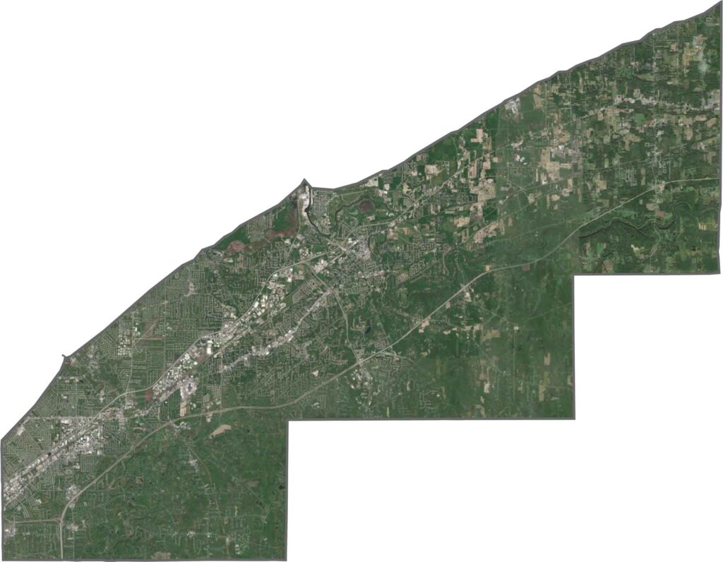
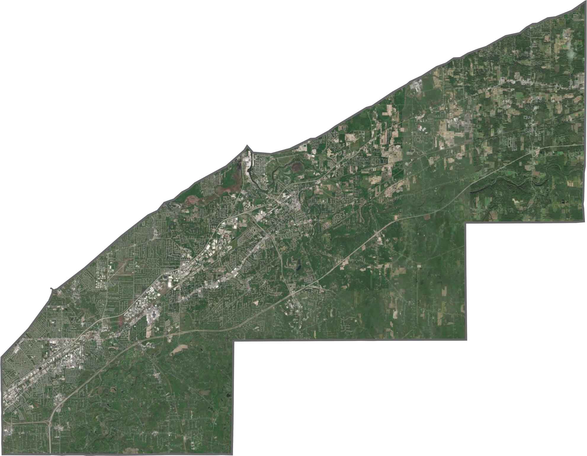
From above, Lake County shows a mix of lakefront and inland landscapes. Lake Erie dominates the northern edge, while developed areas and wooded sections stretch inland. Rural fields break up the clusters of buildings, but the shoreline remains the most noticeable feature.
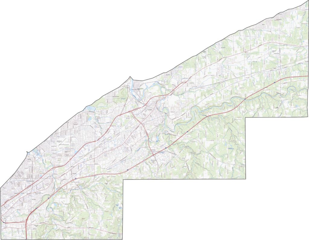
Lake County is defined by its lakeside boundary. The northern edge curves outward along Lake Erie, while most of the remaining borders follow straight lines. It does not border another state, giving the county a distinct coastal outline.









Forget the coast. Ohio’s 88 counties are where everyday America comes alive. No pretense, no postcard perfection—just hardworking towns and quiet backroads that grow on you. This is the Midwest without the filter.