
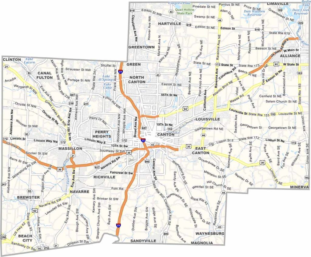
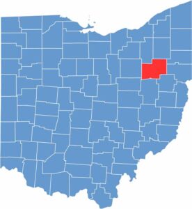
Stark County is in Northeast Ohio. Canton, the county seat, is famous as the birthplace of the NFL. The Pro Football Hall of Fame is a major draw, but it's not all about football.
Visitors appreciate the William McKinley Presidential Library and Museum, honoring the 25th president. Stark County's economy is diverse, with manufacturing, healthcare, and education all playing important roles.
The county is home to several colleges. Nature lovers enjoy the southern reaches of Quail Hollow State Park, which extends into northern Stark County. This mix of urban amenities and natural beauty makes Stark County an attractive place to live and visit.
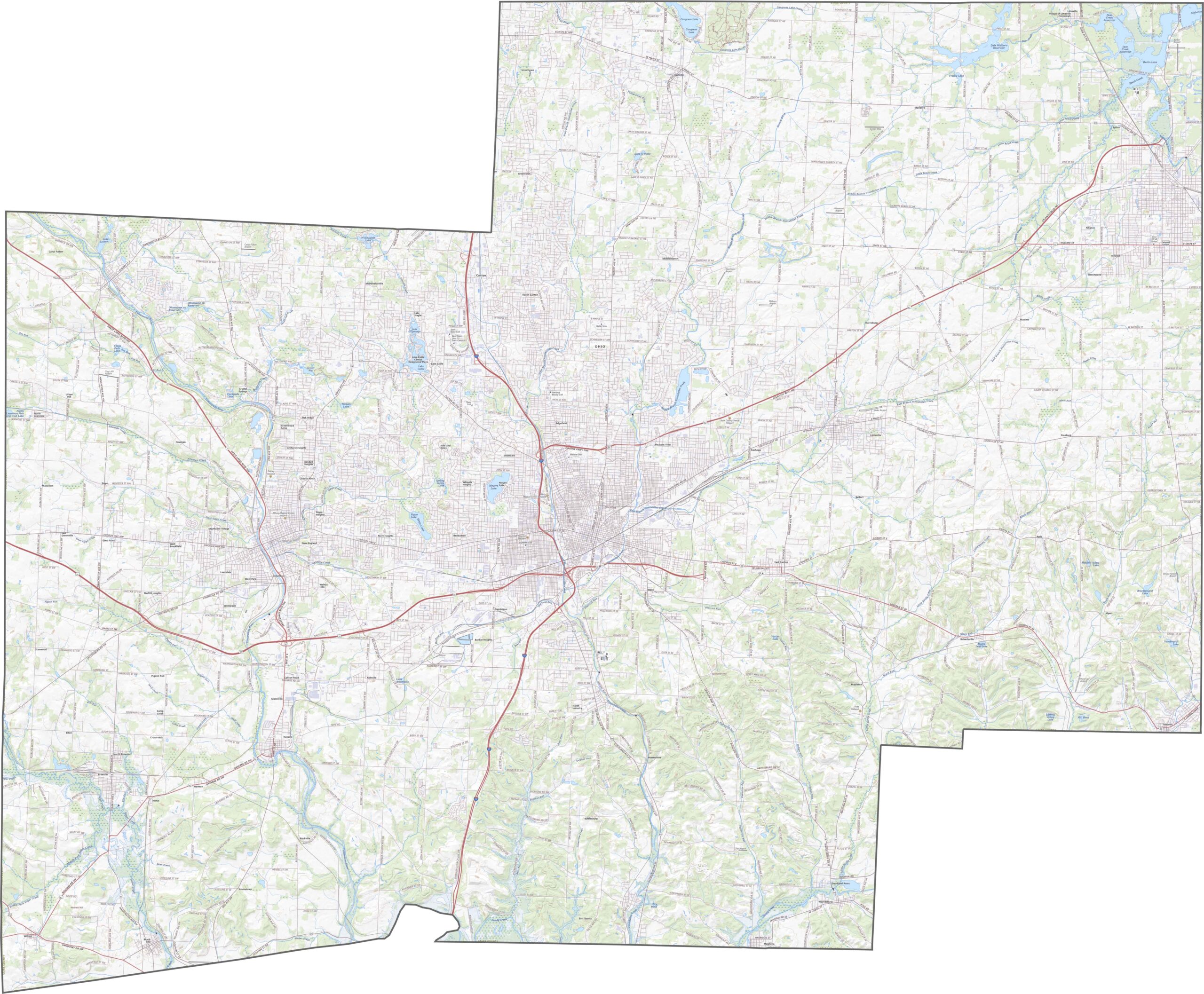
Stark County moves fast. U.S. Route 30, U.S. Route 62, and Interstate 77 (yes, it's an interstate here) all cross through. Canton acts as the central hub, but even outside the city, roads run thick. You'll find them all with ease using our zoom feature.
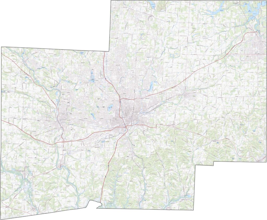
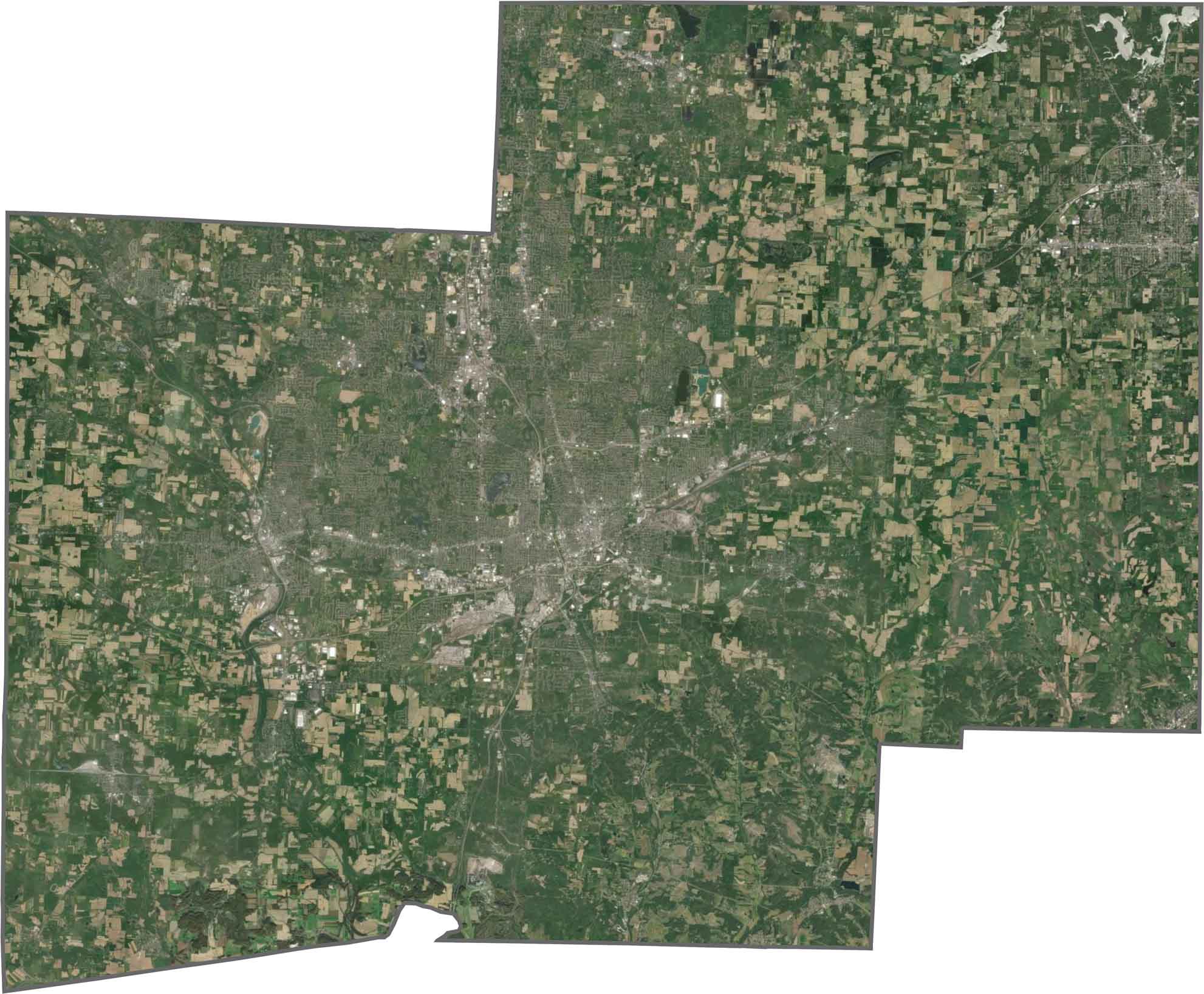
Canton spreads across the center with dense roads and housing. Still, farmland stretches out from the edges, and forests remain in the southeast. You'll also spot lakes and reservoirs among the natural areas.
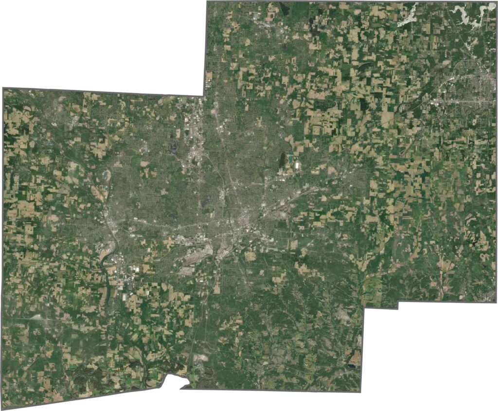
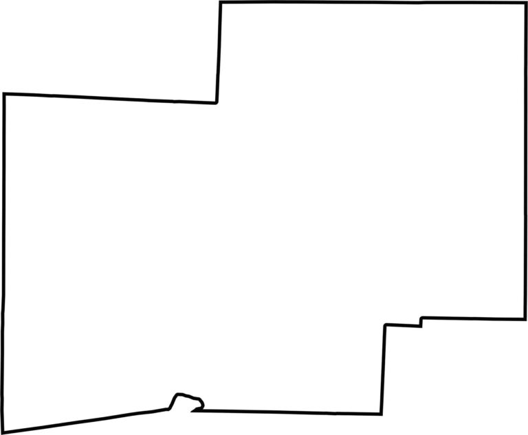
Stark County is roughly square, but not quite. The edges dip and bend slightly, especially along the southern border. No rivers form the county line, and it stays firmly within Ohio.









Forget the coast. Ohio’s 88 counties are where everyday America comes alive. No pretense, no postcard perfection—just hardworking towns and quiet backroads that grow on you. This is the Midwest without the filter.