
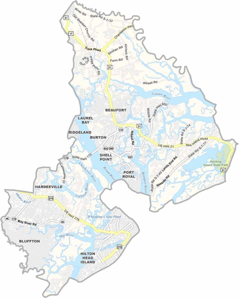
Beaufort County sits on the coast of South Carolina, where land and water blend into a maze of islands, marshes, and inlets.
Hilton Head Island is a Lowcountry resort town and barrier island. The county seat of Beaufort is full of Southern charm, with its antebellum homes. History fans love the area for its role in the Civil War.
Fishing is big business here, and so is shrimping. The local Gullah culture adds a flavor all its own. Summers are hot, but the ocean breezes help. Beaufort County is a true slice of Lowcountry paradise.
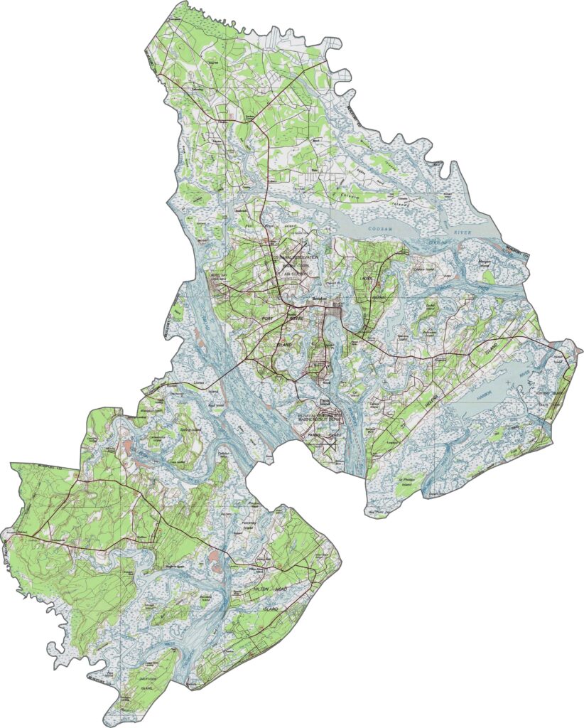
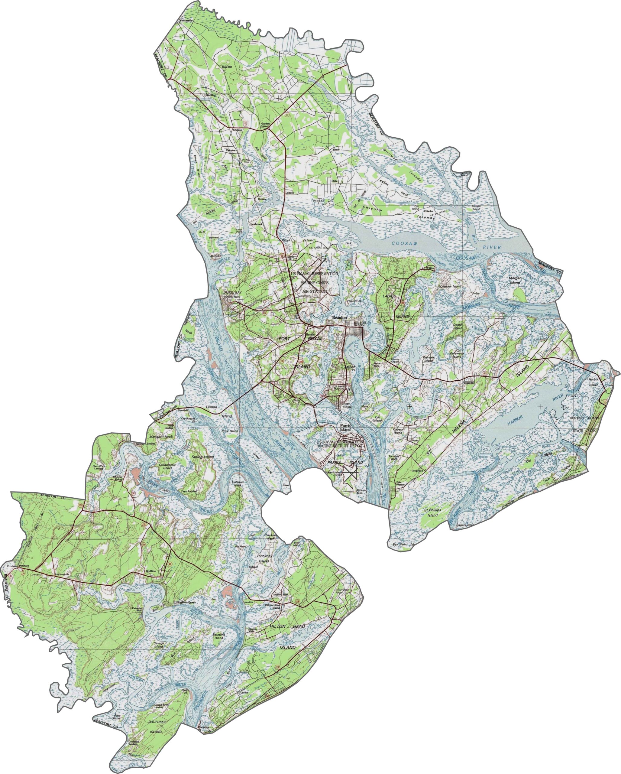
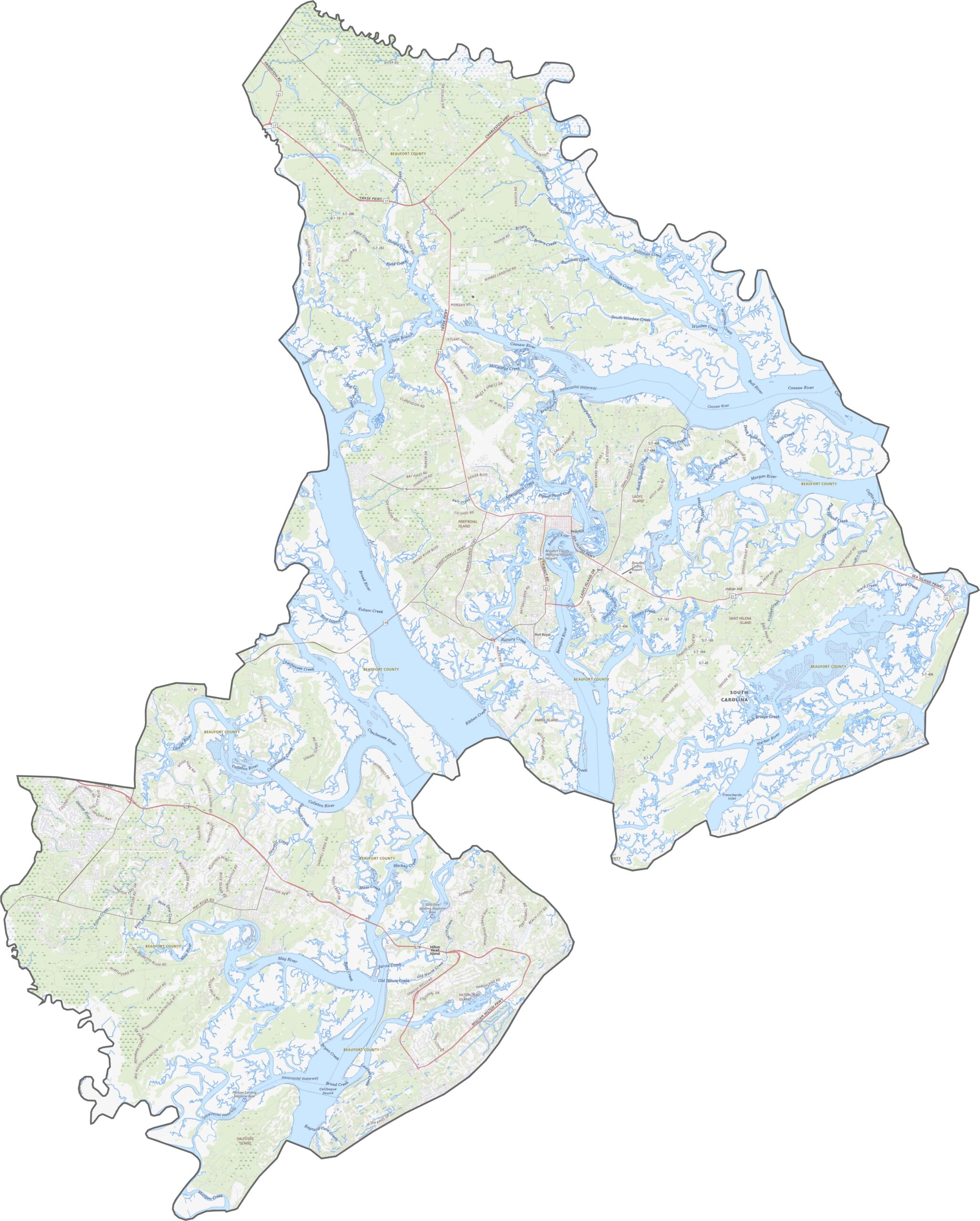
The land barely rises above sea level. Marshes, tidal flats, and sandy stretches make up much of the terrain. It is flat but always shifting, shaped more by water than by elevation. Use our zoom tool below to explore the details.
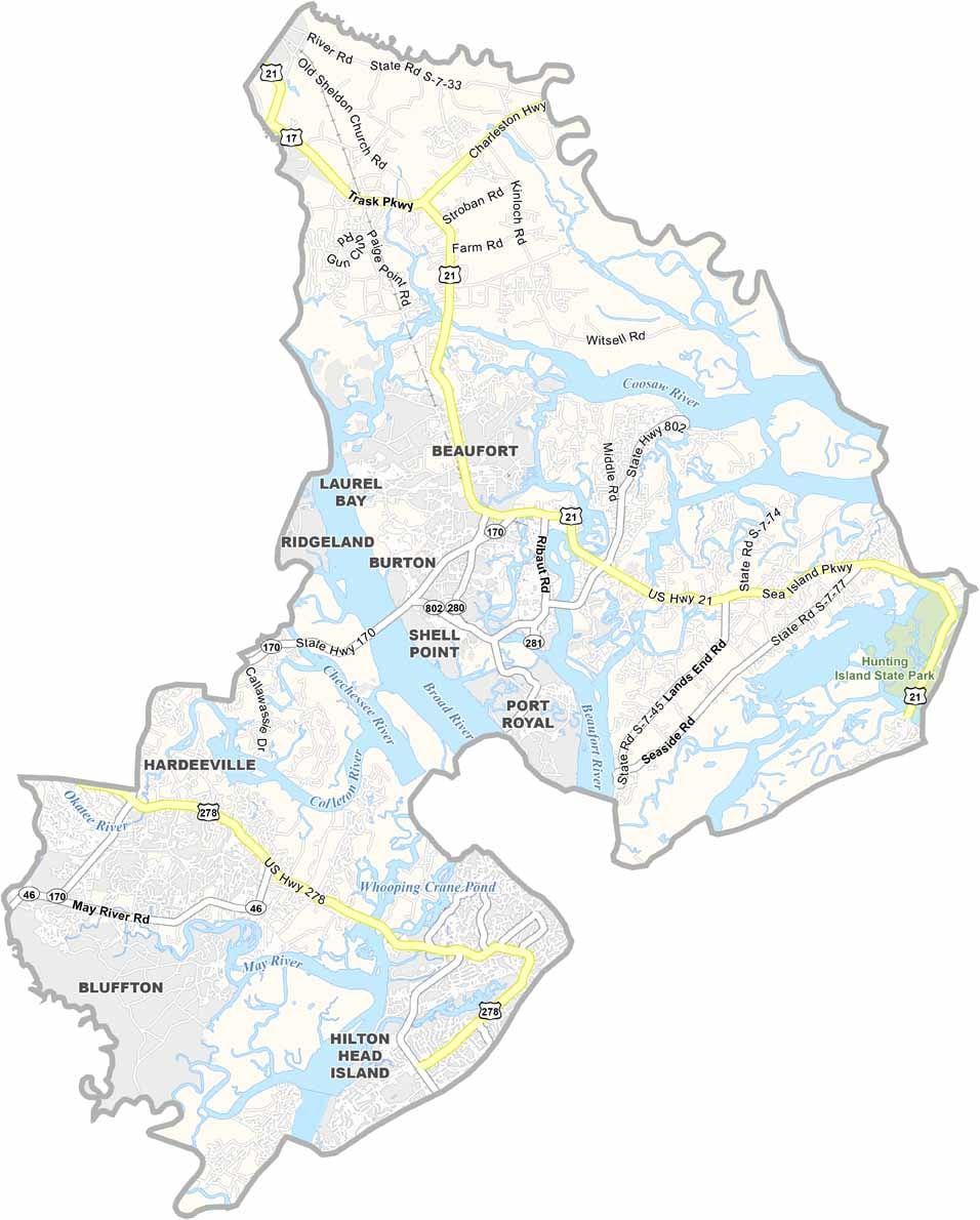
Even though it is a coastal county, the roads in Beaufort County twist inland before heading anywhere. Routes jump across rivers and weave through marshland. Bridges are the key connectors, but they are not always quick.
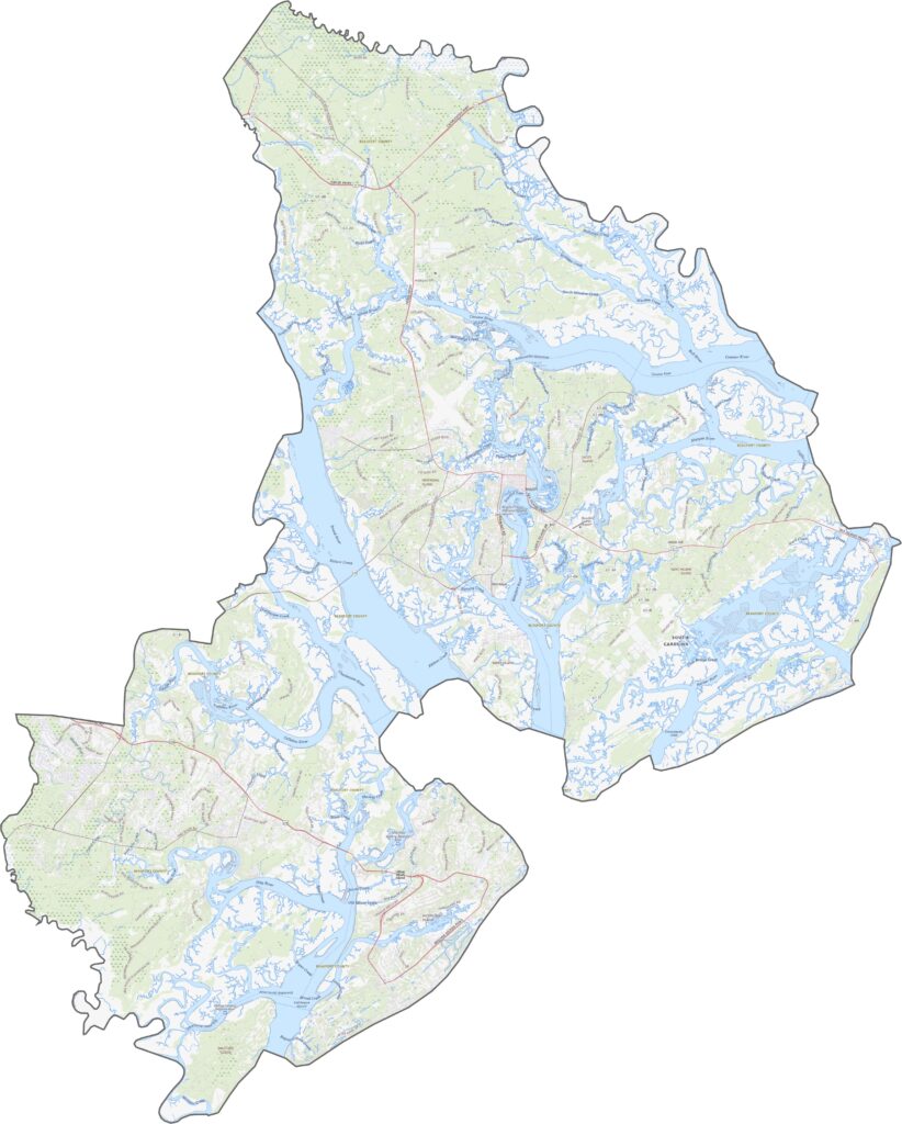
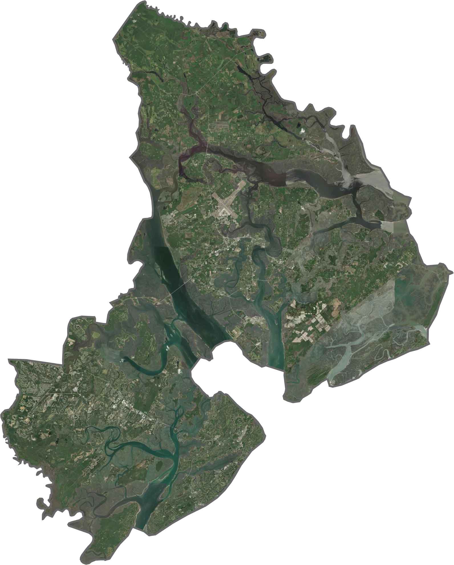
Water dominates the view. Channels, creeks, and inlets slice the land into fragments. Tree canopies cover much of the dry land, while salt marshes fill the edges. Development hugs the coast but does not spread far inland. Islands are everywhere.
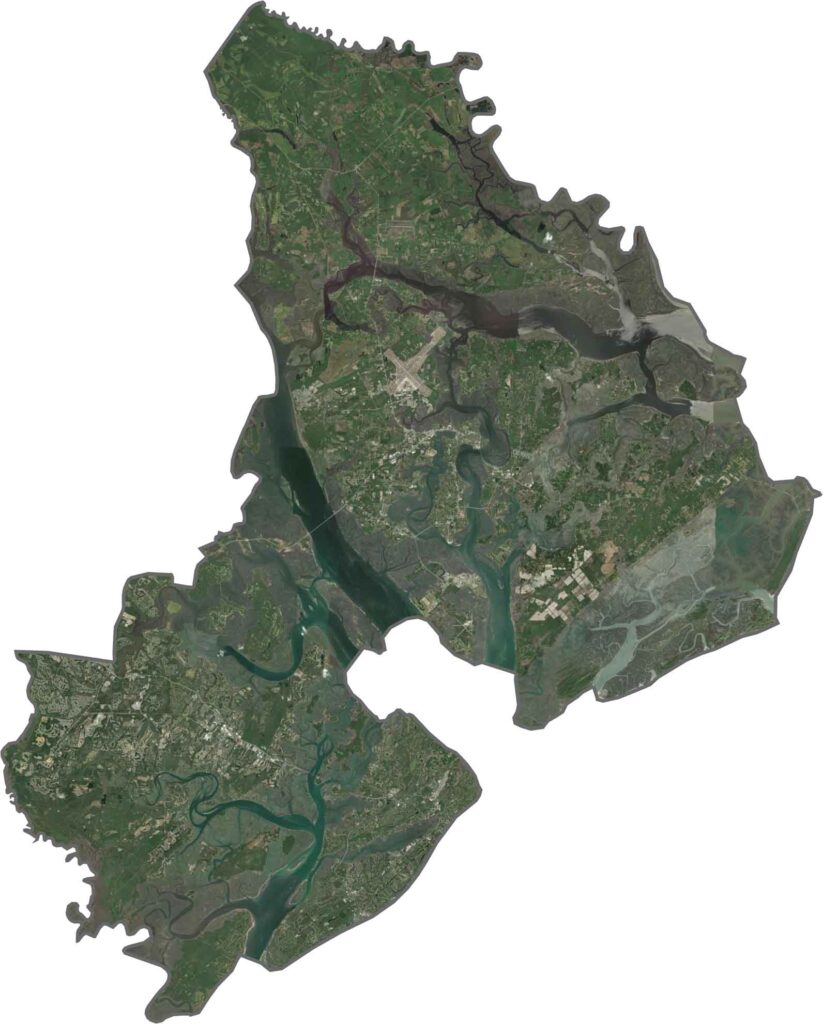
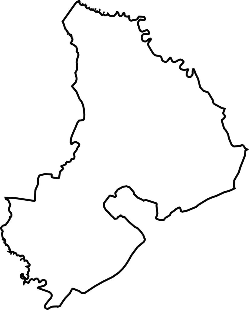
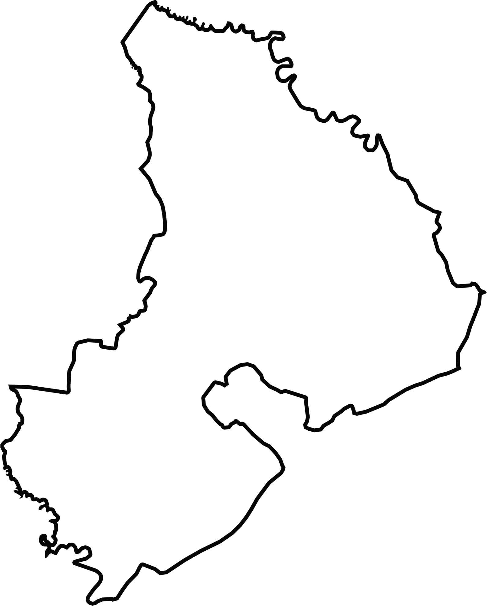
The shape looks like a puzzle with a few pieces missing. It hugs the coast, with long peninsulas and scattered islands. Rivers like the Broad and the Coosaw carve into its borders, and the Atlantic Ocean marks its eastern edge.






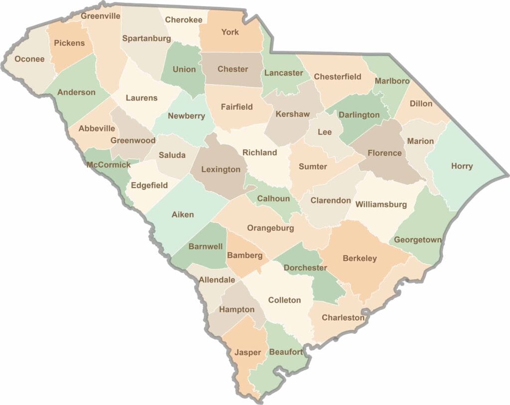
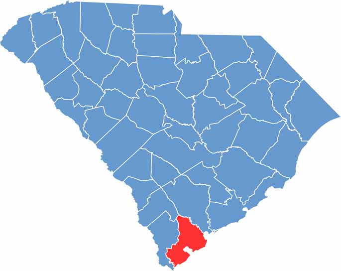
South Carolina’s 46 counties each have their own personality. Some are all about beach vibes, while others are steeped in history. You’ll find gators, grits, and gospel here—sometimes all in the very same afternoon.