
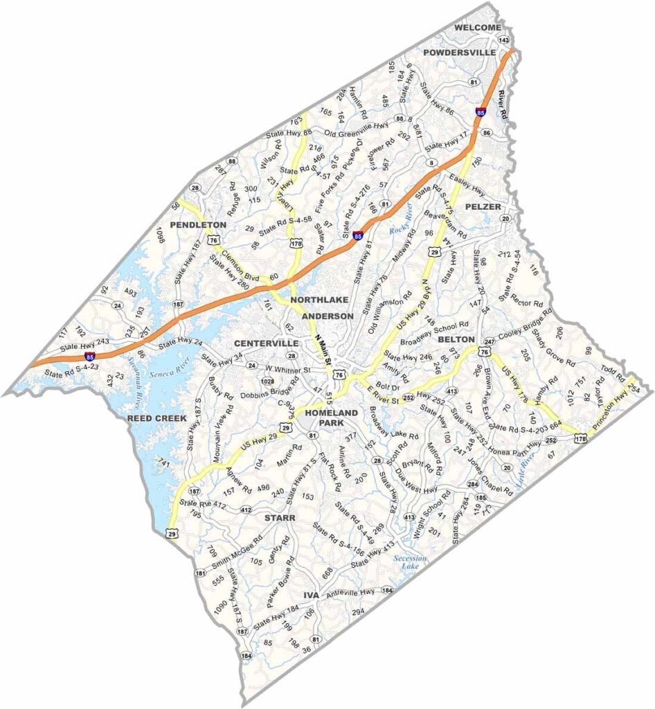
Anderson County sits in the northwest corner of South Carolina, right along the Georgia border. It belongs to the area known as The Upstate. Manufacturing is a big part of the local economy, but farmland is everywhere too. Old barns and silos stand close to modern factories.
The city of Anderson is the heart of the county. Locals call it The Electric City because it was among the first places in the Southeast to have electricity. Its downtown is in the middle of a revival.
Lake Hartwell spreads across 56,000 acres, which makes it a great spot for boating, fishing, or simply relaxing on the shore. Clemson University is only a short drive away. The county has kept its small-town feel even as it keeps growing.
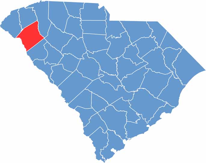
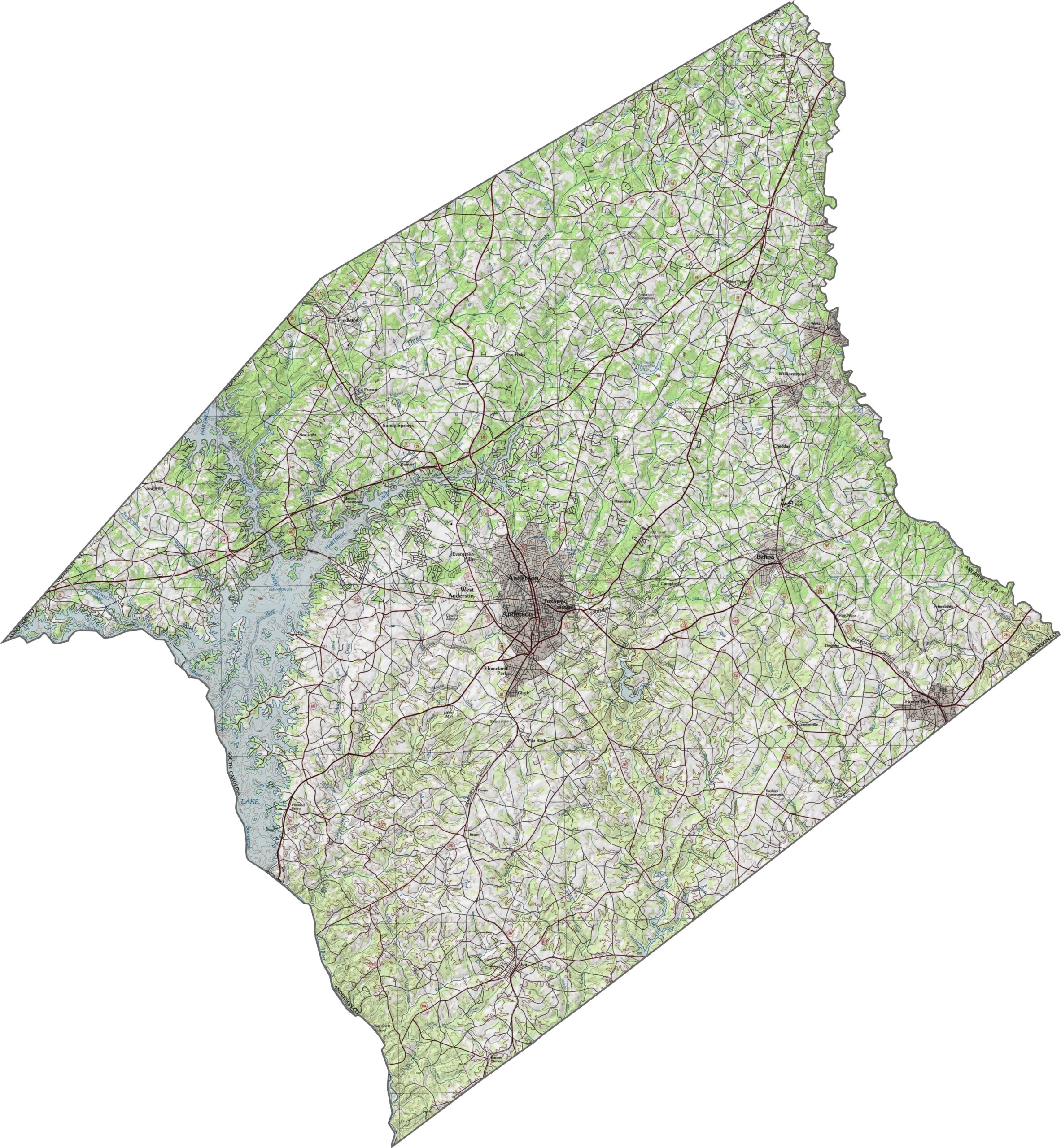
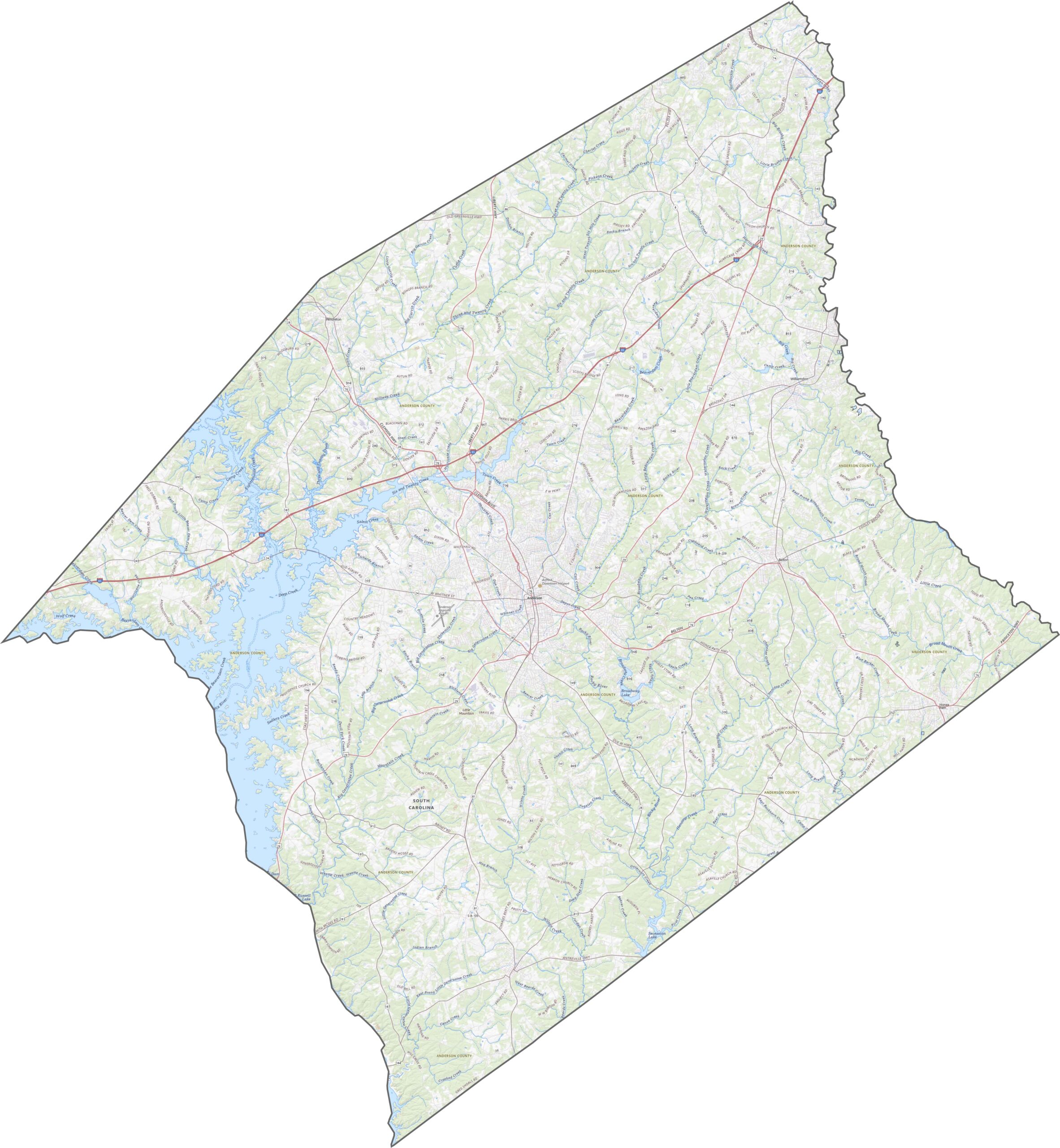
The land here is classic rolling Piedmont, rising and falling in a gentle, steady rhythm. The hills are not dramatic, but they give the county plenty of texture. The north is a bit higher and rougher, while the south levels out. Use our zoom tool to see how the terrain unfolds.
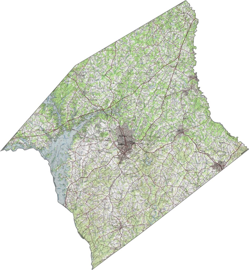
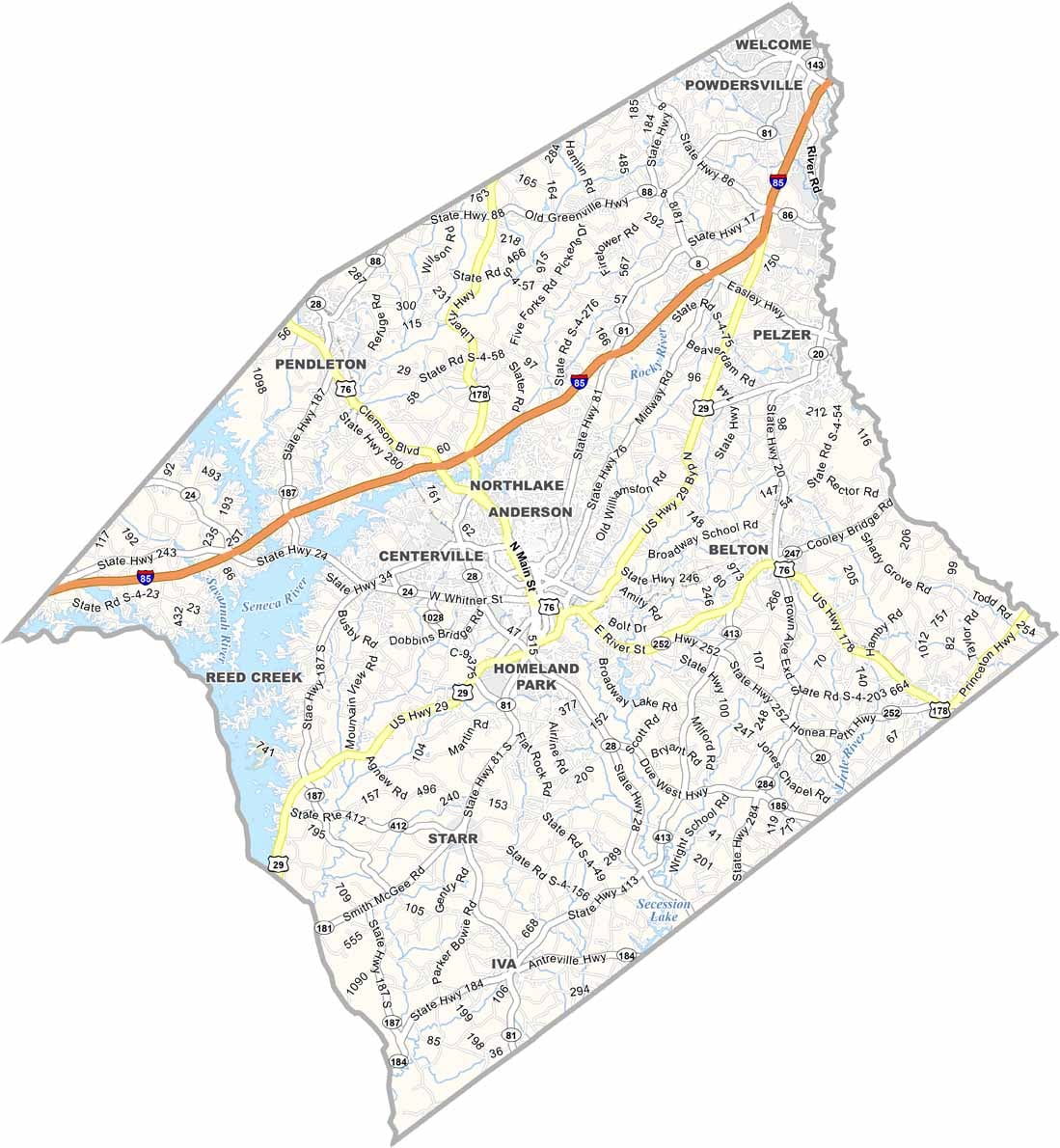
The road network in Anderson County is dense through the middle and thins out toward the edges. I-85 is the main route, and it makes getting around easy, though a few roads loop in unexpected ways.
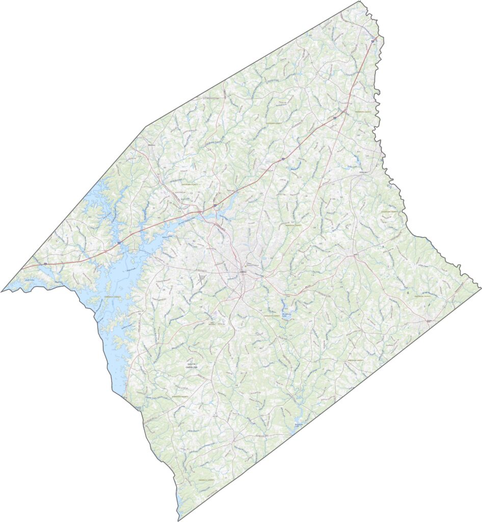
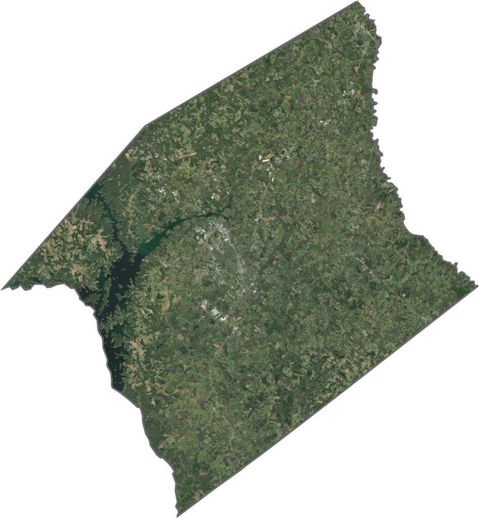
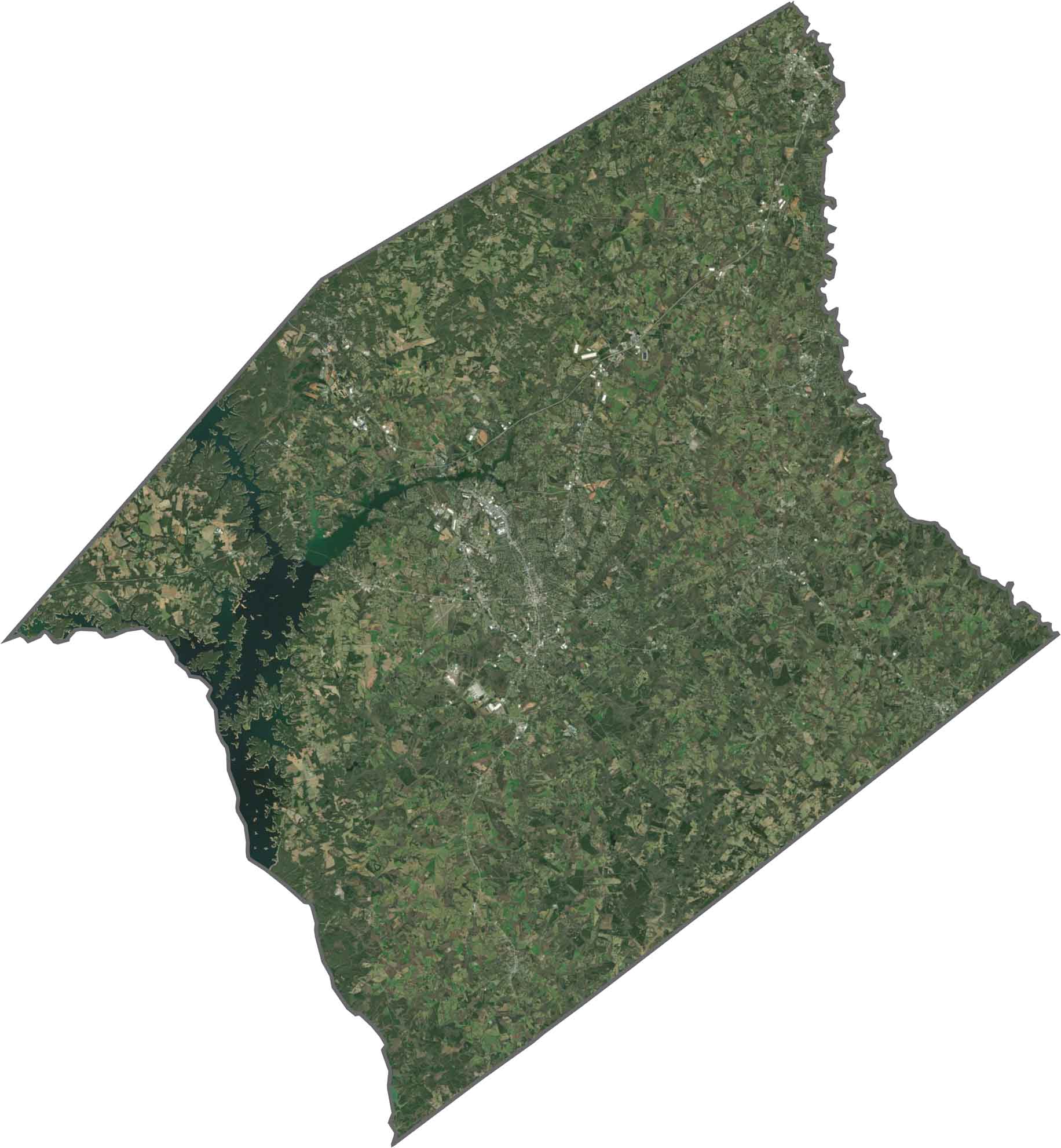
From above, the lakes steal the show, especially Lake Hartwell in the western corner. Even so, heavy tree cover runs across the whole county. Farmland and neighborhoods show up between the forests. The roads are easy to spot, but nature still dominates the view.
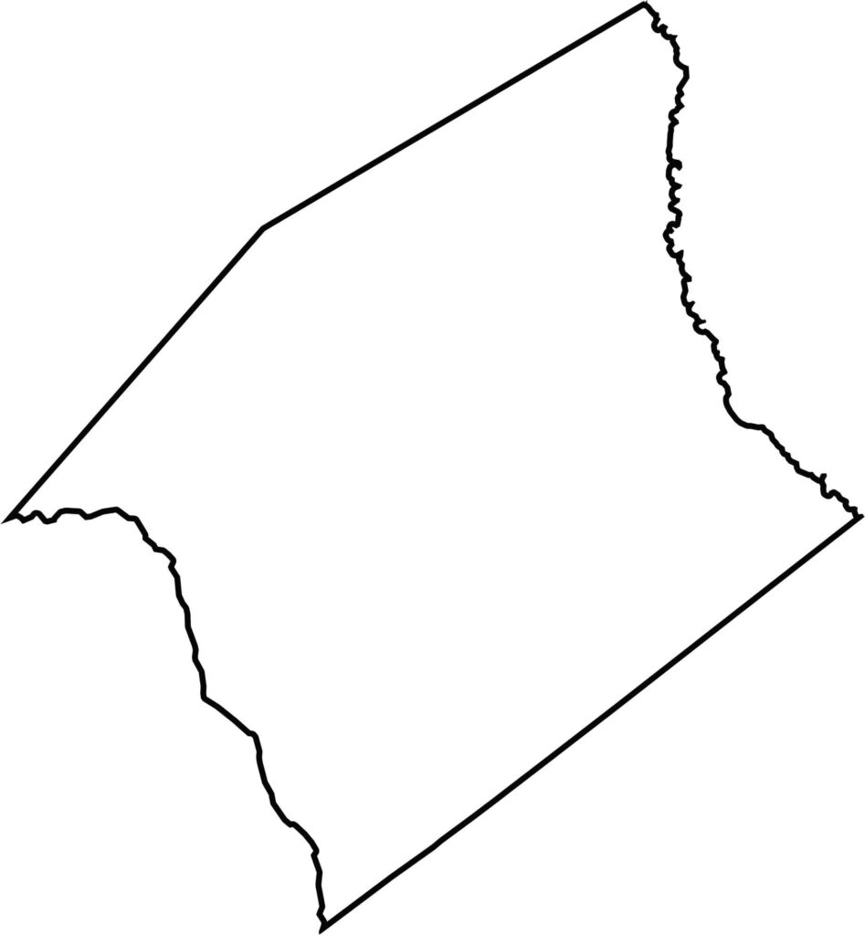
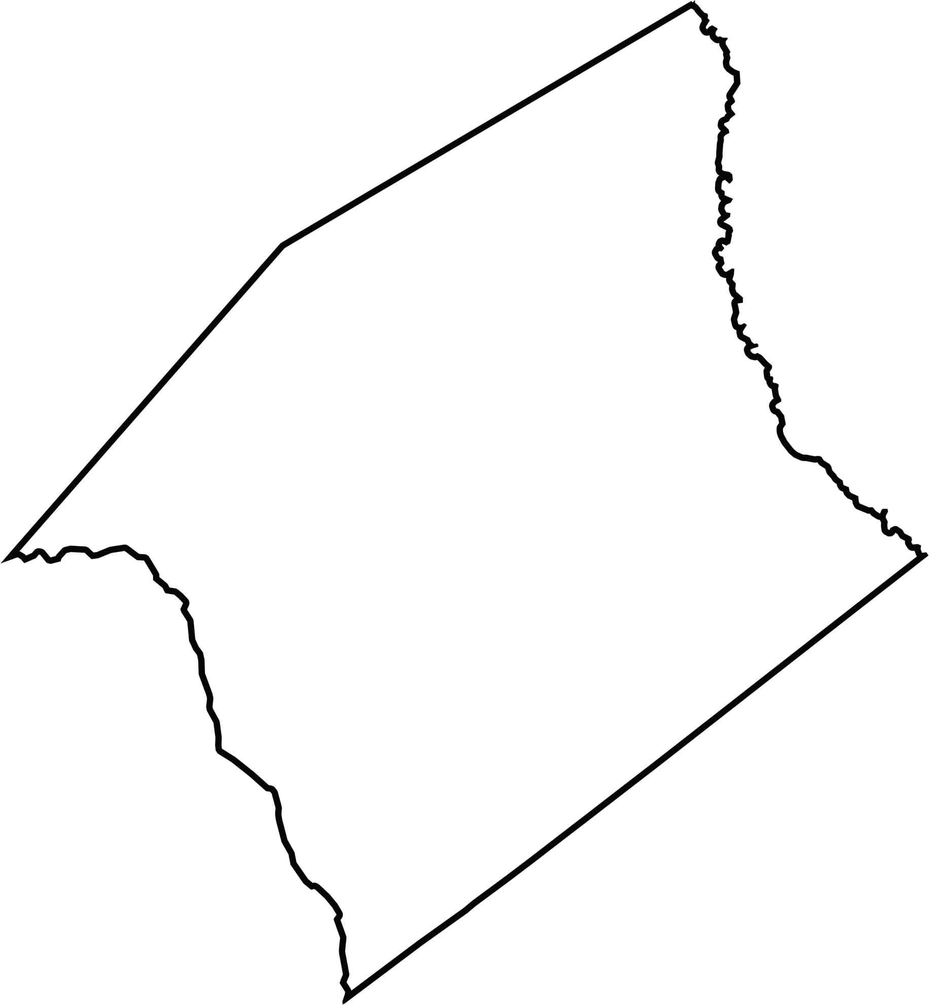
The county has an uneven shape with curves and corners that follow no strict pattern. The Savannah River cuts along the western edge and forms the natural border with Georgia, while the Saluda River marks the eastern boundary.






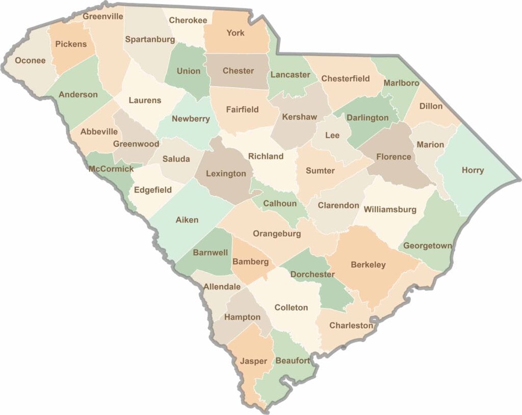
South Carolina’s 46 counties each have their own personality. Some are all about beach vibes, while others are steeped in history. You’ll find gators, grits, and gospel here—sometimes all in the very same afternoon.