
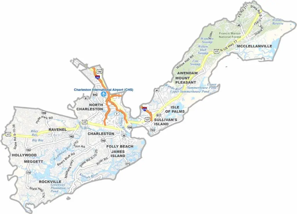
Charleston County stretches along the Atlantic coast of South Carolina, where history and modernity blend together nicely. The city of Charleston is the star attraction.
Beautiful beaches line the coast, and Isle of Palms and Folly Beach are local favorites. The county is known for its food scene, with fresh seafood and Lowcountry cuisine dominating menus.
Charleston Harbor is a hub of activity, with ships coming and going. You can hear the Gullah language spoken on some of the Sea Islands. Plantations and Civil War sites are spread across the landscape. It is a photographer's dream, especially at sunset.
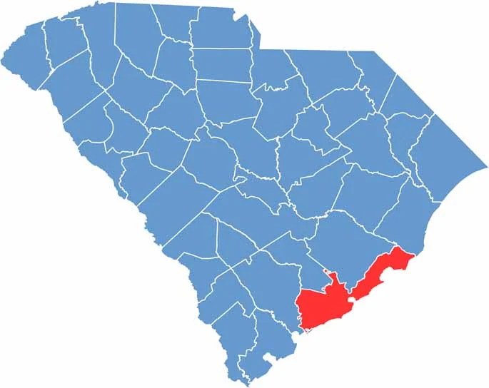
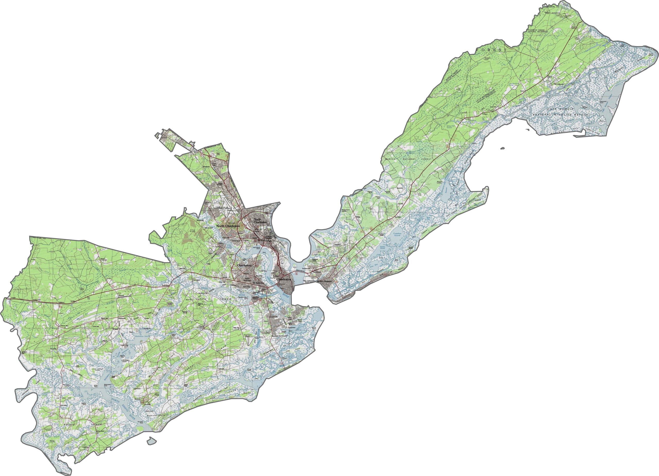
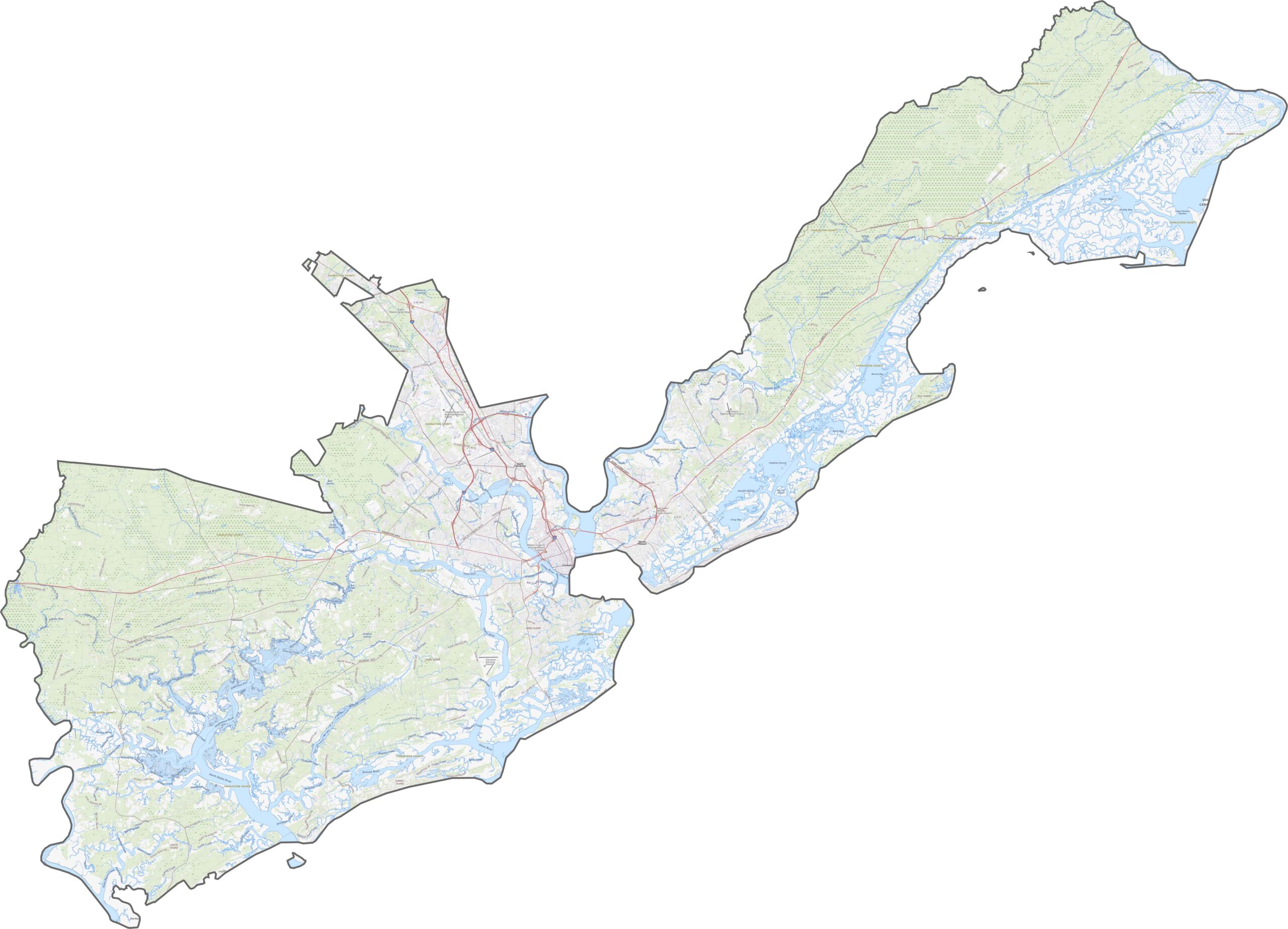
The land in Charleston County barely rises above sea level. Marshes and tidal creeks dominate, especially along the coast, and the few upland areas are still low. Use our zoom tool below to explore the layout in detail.
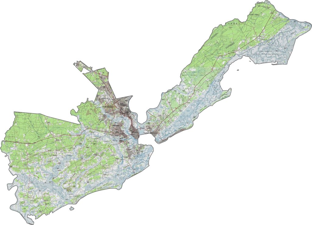
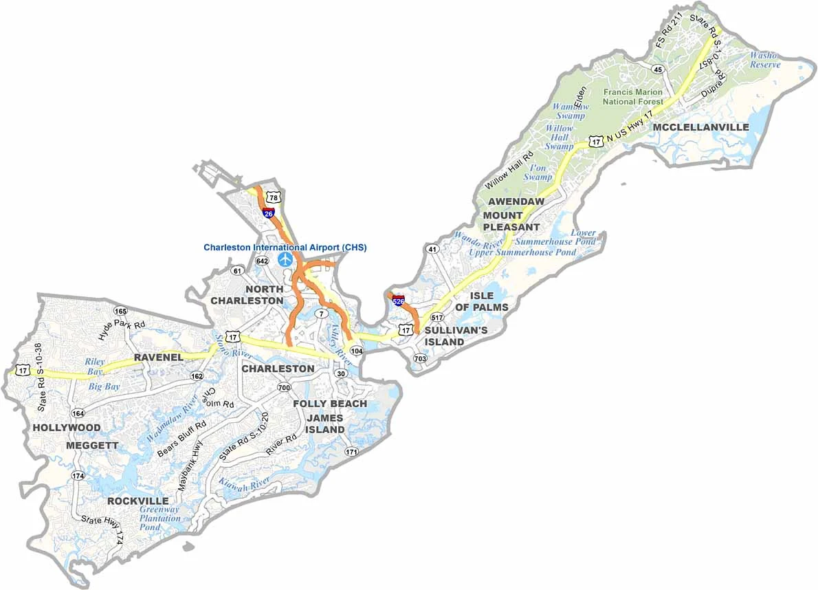
Even though it is a coastal county, the road system in Charleston County is anything but simple. Routes weave through wetlands, islands, and peninsulas. Traffic builds near the city, but rural stretches still sprawl outward.
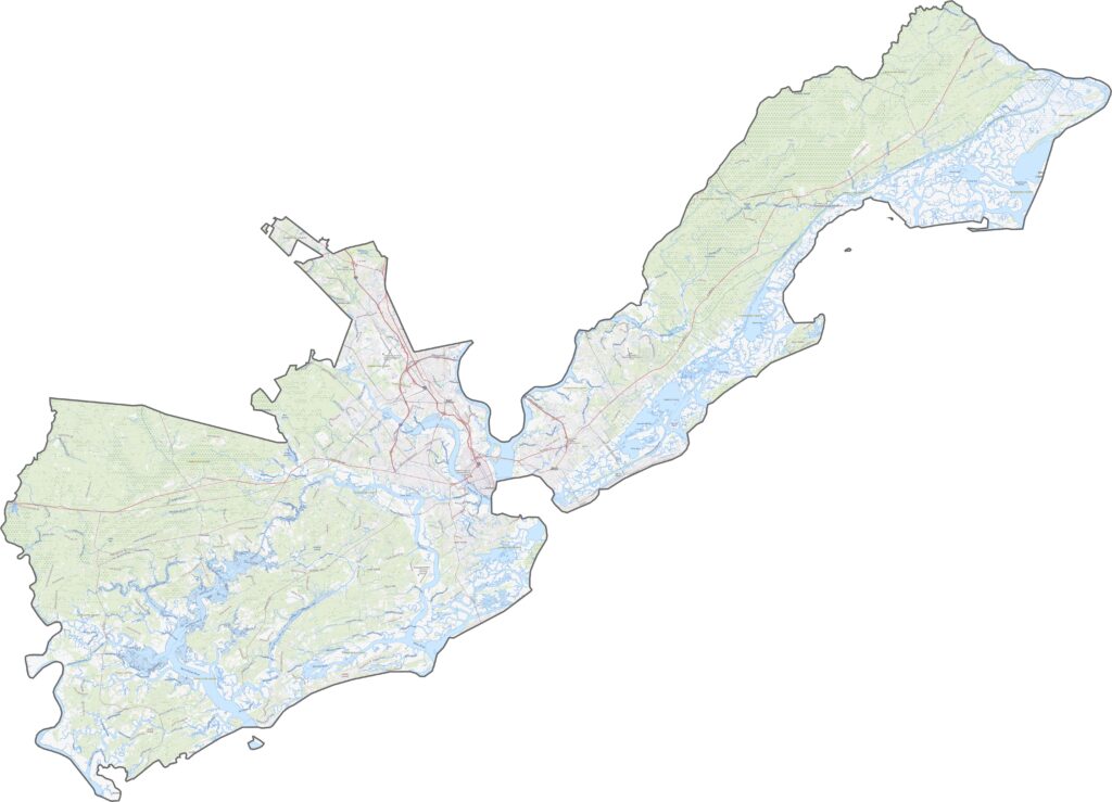
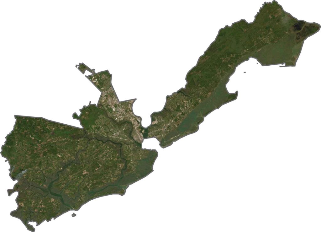
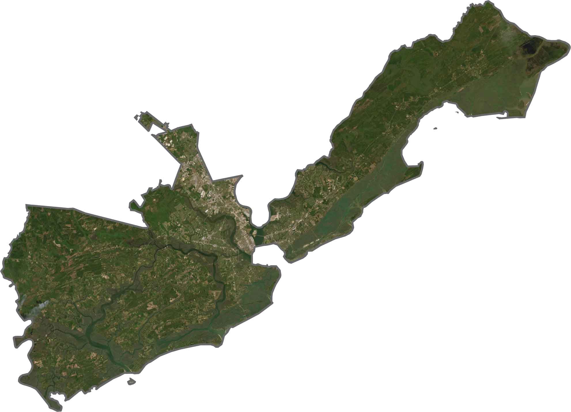
From above, Charleston County looks like it is dissolving into the Atlantic Ocean. Marshes, barrier islands, and winding inlets define the view. Downtown Charleston appears bright and dense, while the rest of the land blends into trees and wetlands.
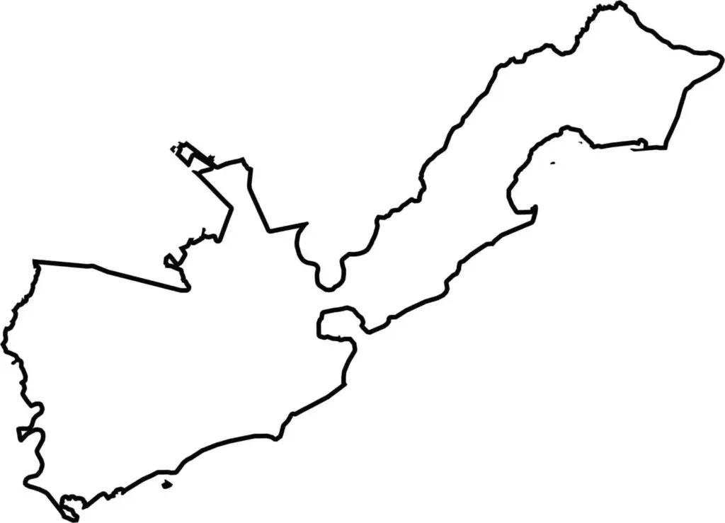
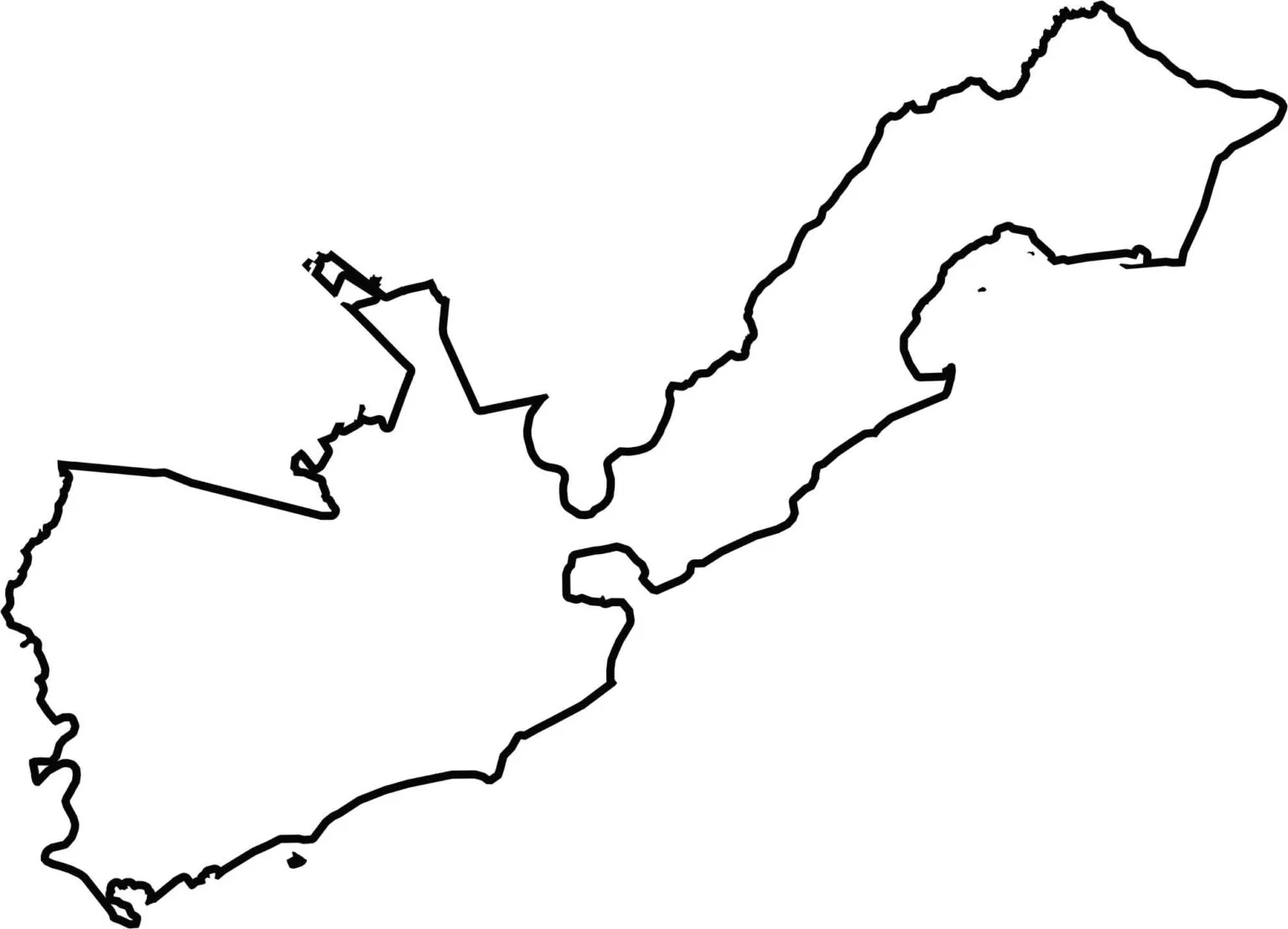
The county has an irregular shape with countless fingers reaching into the Atlantic Ocean. Barrier islands hang off the edge. The southern edge is mostly coastline, while the north borders Berkeley, Georgetown, and Dorchester. Water outlines much of the boundary.






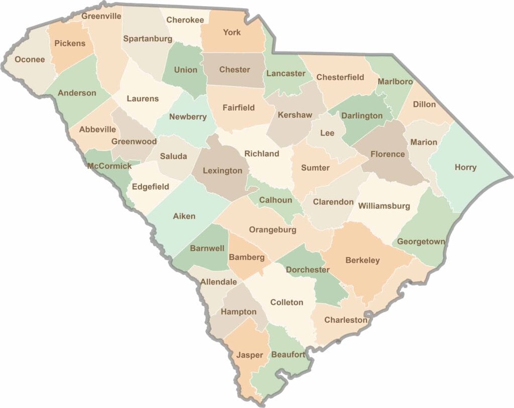
South Carolina’s 46 counties each have their own personality. Some are all about beach vibes, while others are steeped in history. You’ll find gators, grits, and gospel here—sometimes all in the very same afternoon.