
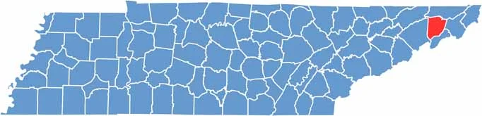
Washington County sits in the northeastern corner of Tennessee and is part of the Tri-Cities region. Jonesborough, the county seat, is the oldest town in the state.
Visitors love the area. The storytelling festival draws people from all over, while Johnson City, the largest city, is home to East Tennessee State University. It has a great mix of college-town energy and Appalachian charm.
The county offers plenty of beautiful scenery, including views from Buffalo Mountain. Agriculture remains important, so farms are a common sight. The people are friendly and proud of their mountain heritage.
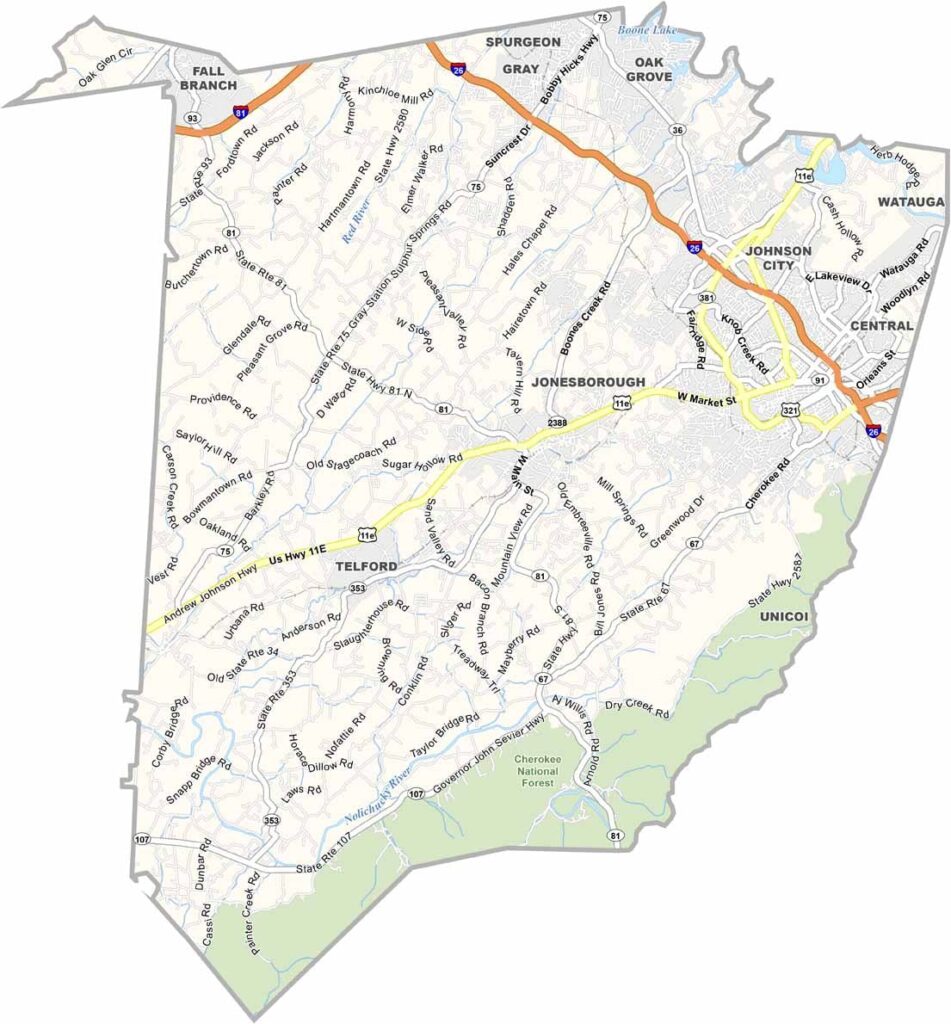
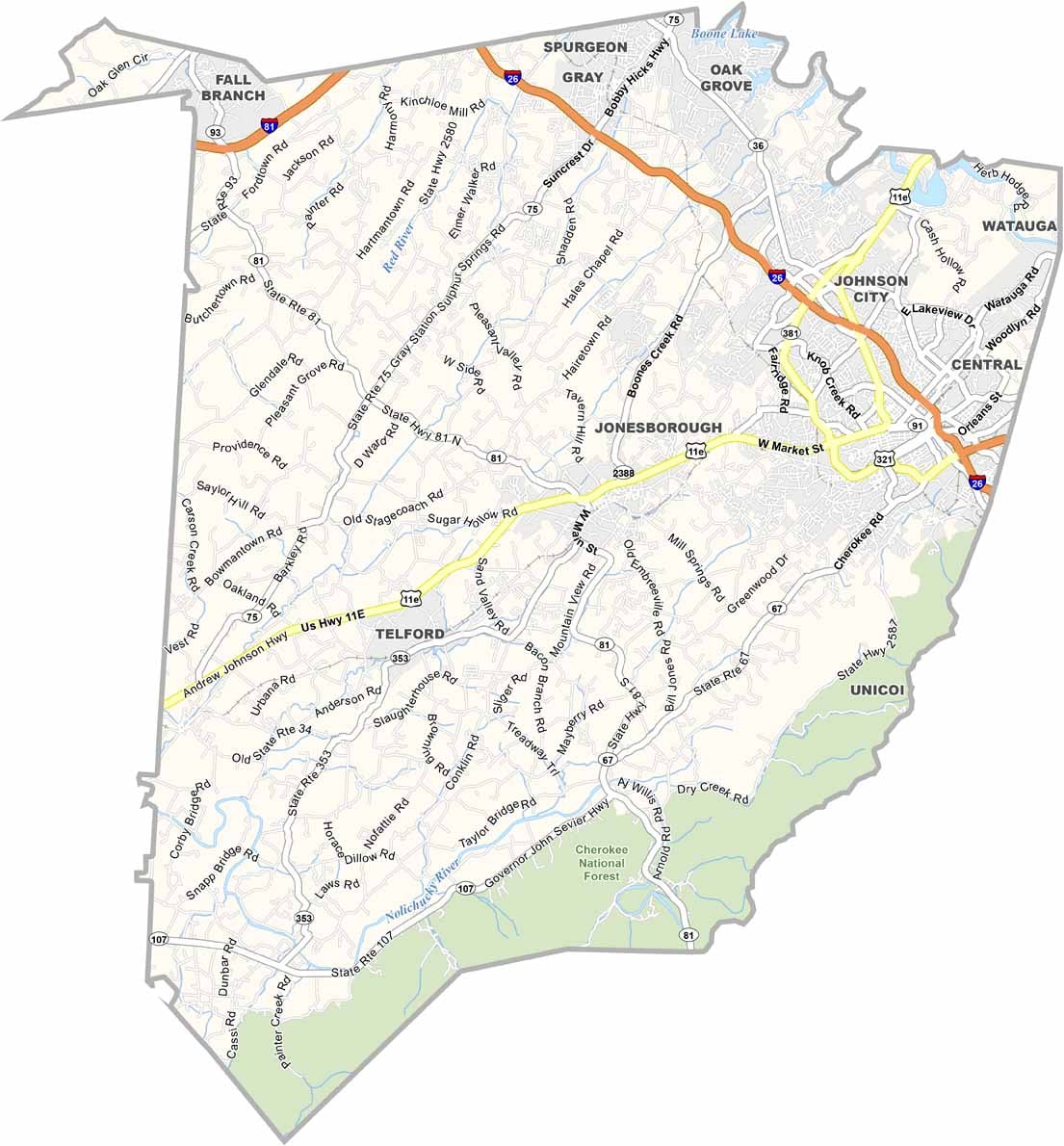
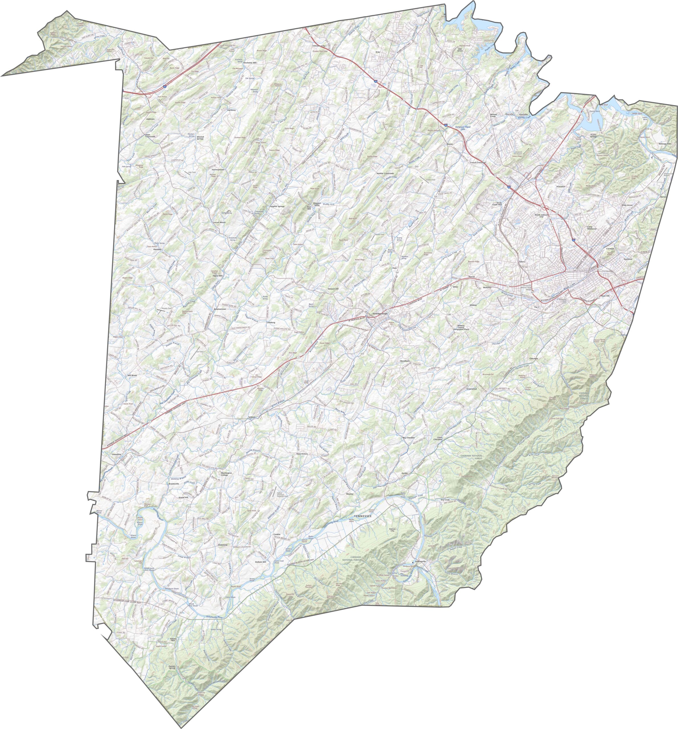
Washington County has roads that twist and turn with the mountains. I-26 cuts diagonally across the county, connecting Johnson City with the surrounding area. Smaller roads branch out in every direction. The network may seem chaotic at first, but it works. Use our zoom tool below to see how the entire road system connects.
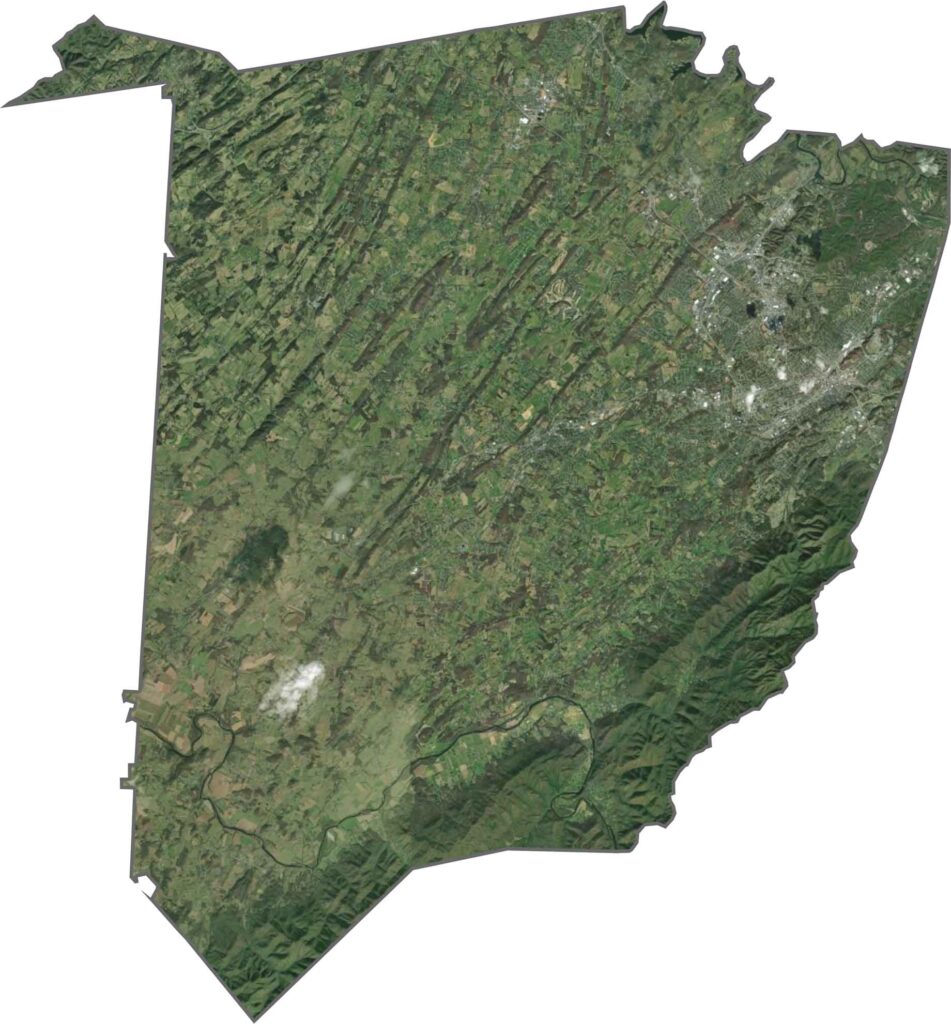
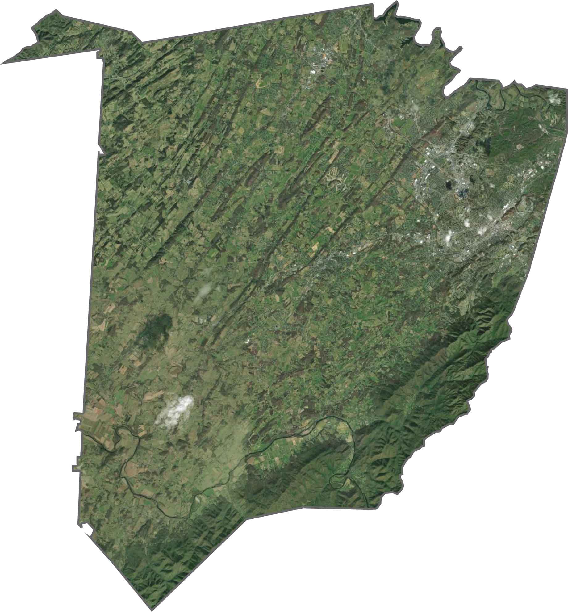
From above, Johnson City stretches across the eastern part of the county. Beyond the city, the landscape quickly turns green. Ridges cast long shadows, while farms and neighborhoods fill the valleys. Forests cover the southeastern hills, and a few lakes and reservoirs are visible in the satellite view.
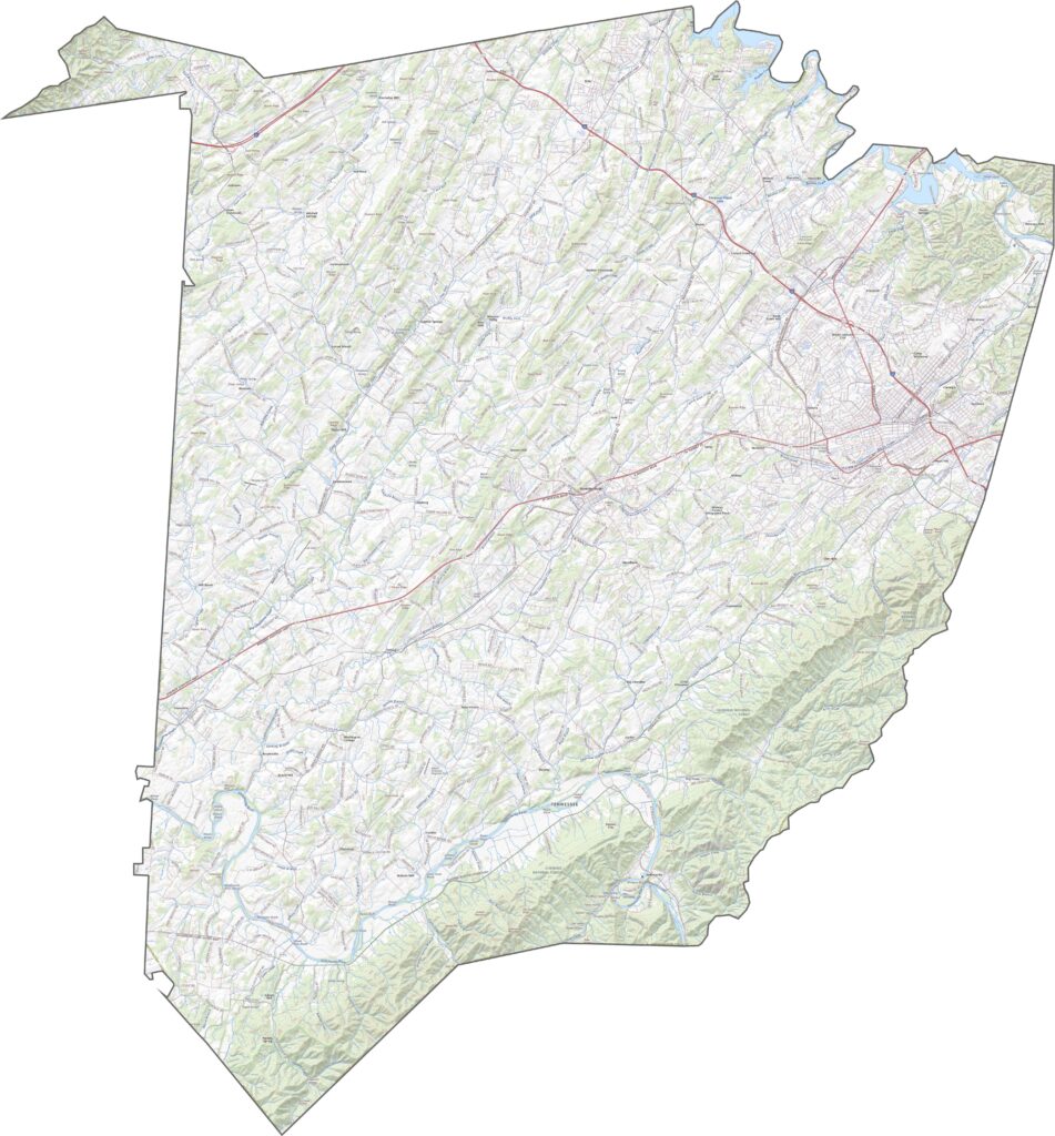
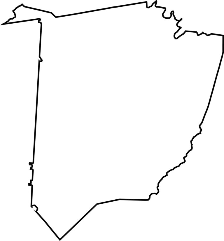
Washington County has a jagged shape with a narrow tail extending toward the northwest. It sits very close to North Carolina and Virginia, but it does not technically border either state.


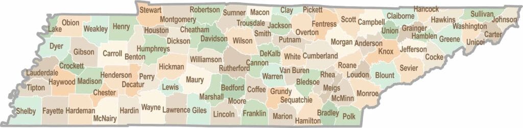
No county in Tennessee is a boring one. Some stretch through the Smokies, while others roll out into the Delta flatlands. Every county is shaped by its land, and it shows.