
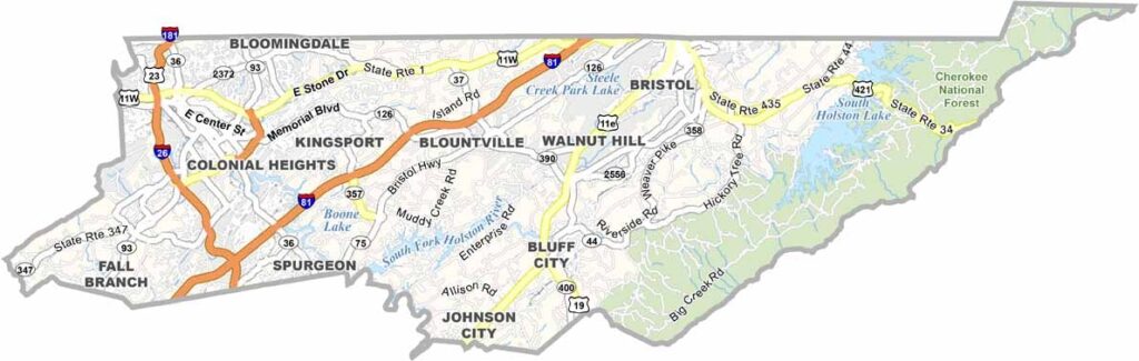
Sullivan County sits in northeastern Tennessee along the Virginia border. It’s part of the Tri-Cities region, along with neighboring Washington and Carter counties.
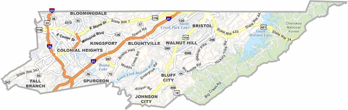
Kingsport is the largest city, while Blountville serves as the county seat. Bristol sits along the Tennessee-Virginia line and is famous for its deep connection to country music. It’s proudly known as the Birthplace of Country Music.
The area’s natural beauty is hard to beat. South Holston Lake is a popular spot for fishing and boating, while the Appalachian Trail passes through part of the county. Residents are also proud of their Appalachian roots.
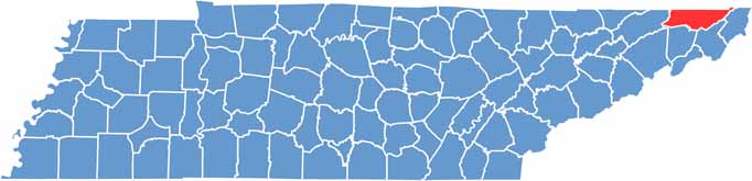
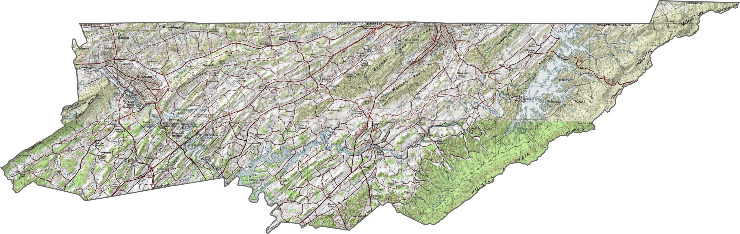
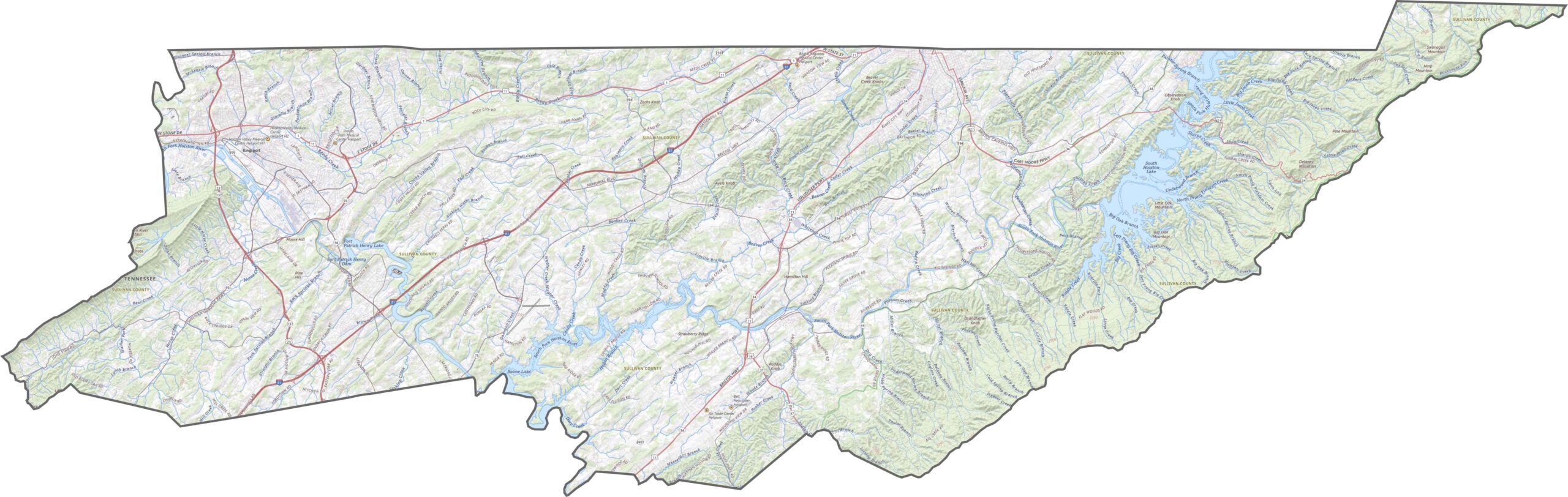
Sullivan County has ridges that ripple from east to west, giving the terrain a folded appearance. The Holston River cuts through the area, while South Holston Lake stretches across the northeast. Bays Mountain forms a natural barrier in the southwest. It’s a county filled with rises, dips, and long, wooded slopes.
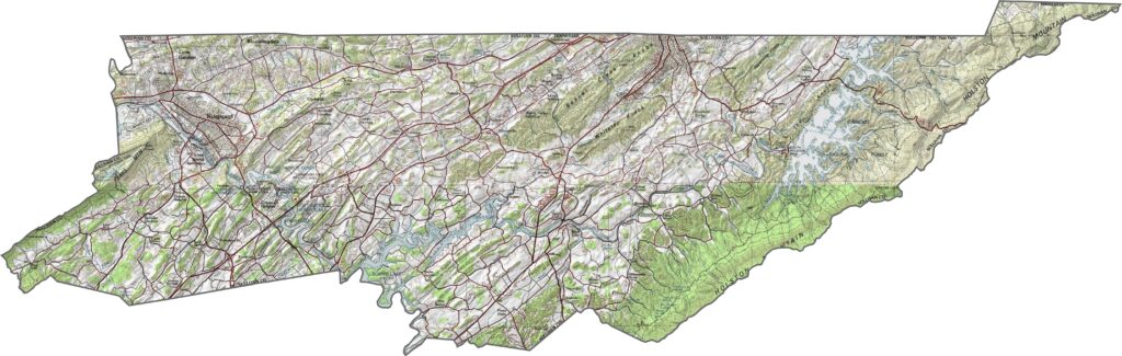
The roads follow the terrain, so straight routes are hard to find. I-81 runs directly through the county, providing a quick connection from Virginia into Tennessee. I-26 crosses the southern portion, while most other highways wind around ridges and lakes.
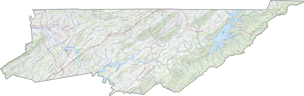
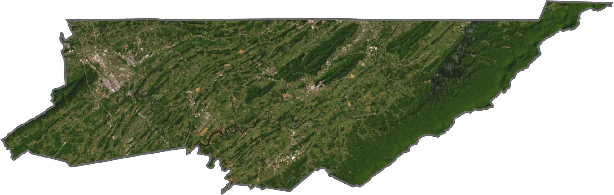
The twin cities of Bristol and Kingsport stand out quickly, appearing as light gray clusters connected by branching roads. Forests fill the spaces between them, while lakes and rivers are especially noticeable in the northeast. South Holston Lake winds into numerous coves, and scattered fields break up the wooded hills.
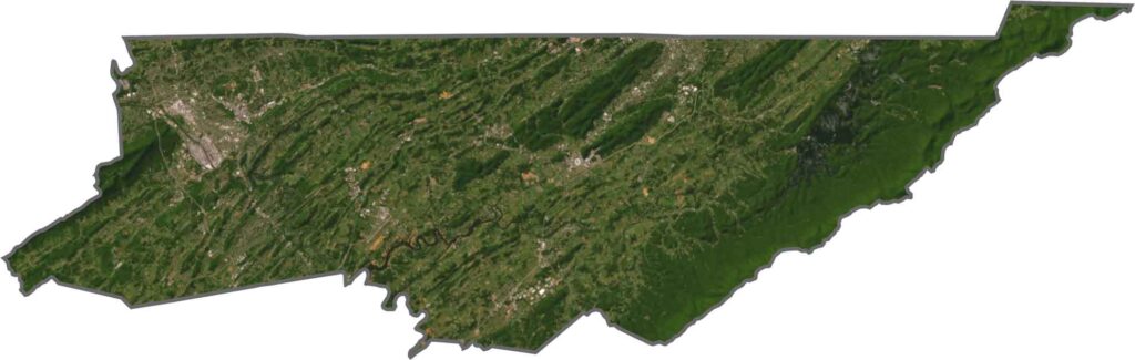
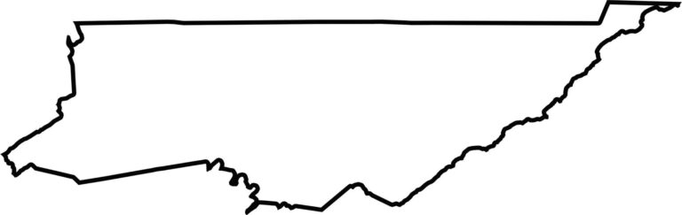
Sullivan County has a crooked, slanted shape that resembles a broken rectangle. Its northeastern edge borders Virginia, making it a state-line county. Rivers and ridges help shape many of its boundaries. The outline may not be perfectly neat, but it follows the landscape it covers.
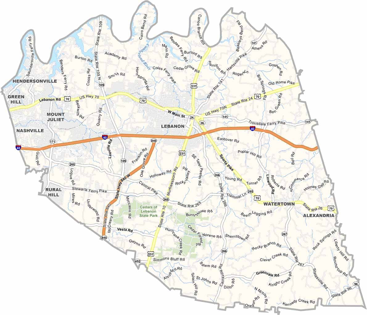
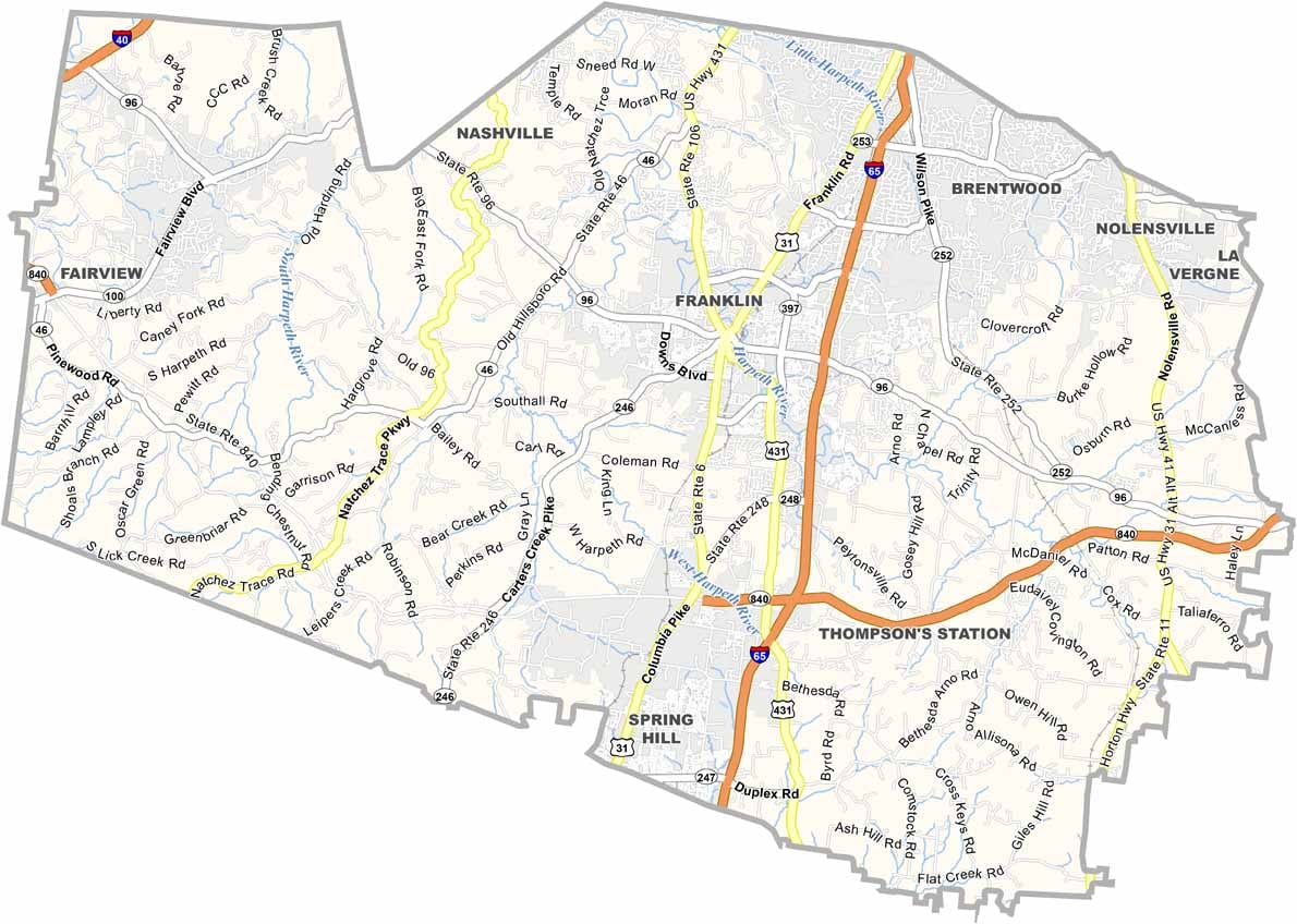


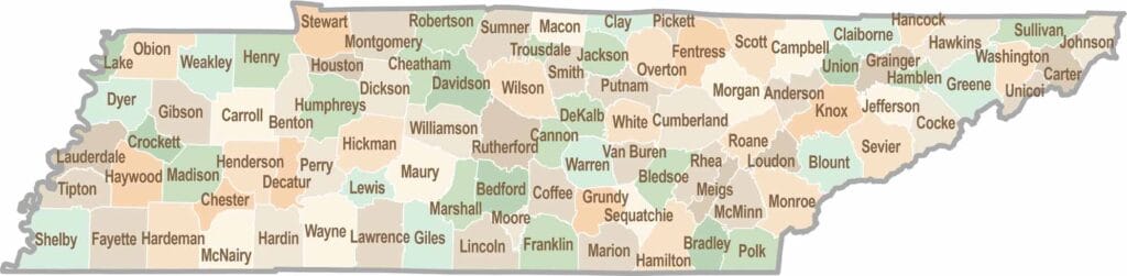
No county in Tennessee is a boring one. Some stretch through the Smokies, while others roll out into the Delta flatlands. Every county is shaped by its land, and it shows.