
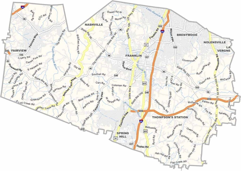
Williamson County sits just south of Nashville. It’s like Nashville’s posh cousin. Franklin, the county seat, is a history lover’s dream, with Civil War history around every corner.
But it’s not stuck in the past. The area is booming, with tech companies, healthcare, and music industry leaders moving in. It’s getting crowded, but in a good way. The schools are also top-notch, making the county a major draw for families.
Leiper’s Fork is a tiny village filled with art galleries and great food. Visitors have plenty to enjoy too, from hiking trails to parks. And then there’s the music scene. It’s not just country music—there’s a bit of everything.
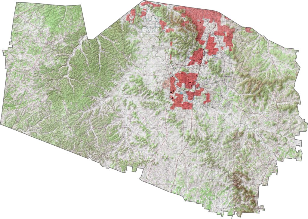
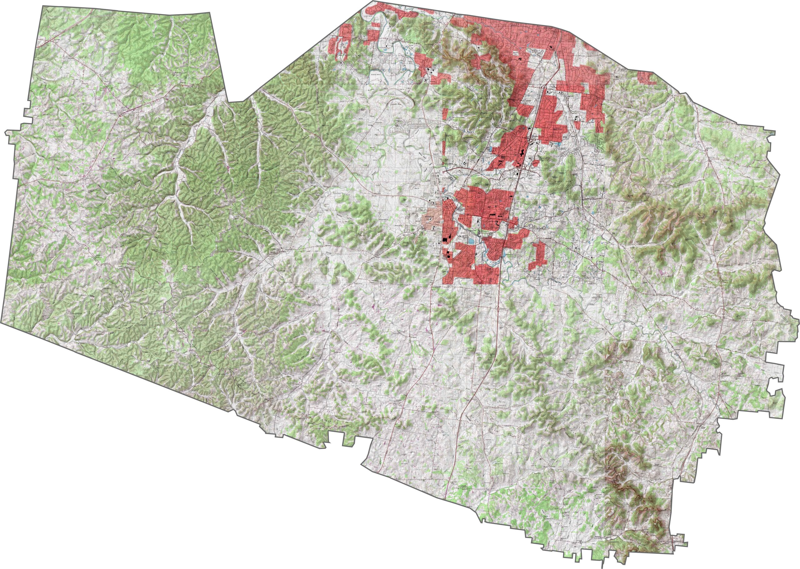
Hills aren’t just scenic here—they’re everywhere. The Highland Rim rolls across the landscape, giving it an almost rippling texture. No single peak defines the area, but the ridges together give Williamson County its rugged character. Use our zoom tool below to explore the terrain in greater detail.
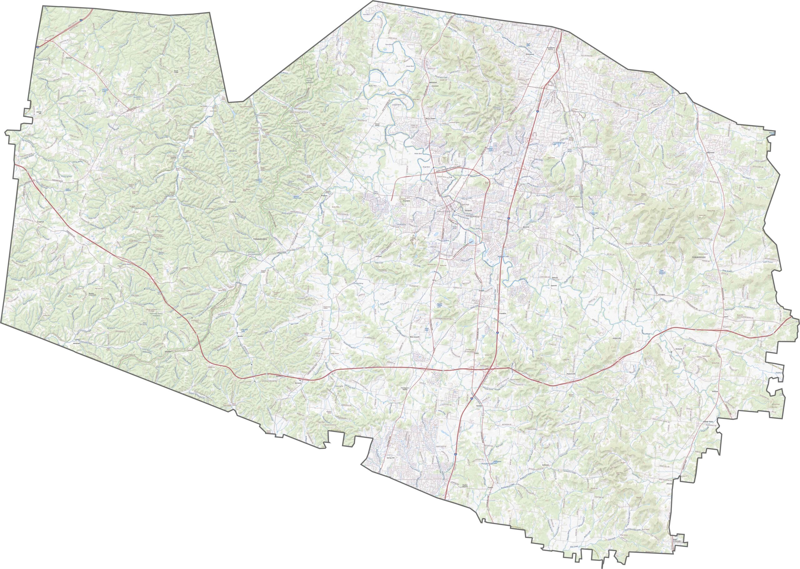
Williamson County is very much a commuter’s county. I-65 runs in a straight north-south line through the middle, while I-40 just brushes the northwest corner. Farther west, roads become smaller and curve with the terrain. The contrast is sharp, but that’s part of Williamson County’s personality. Use our zoom tool to explore both sides.
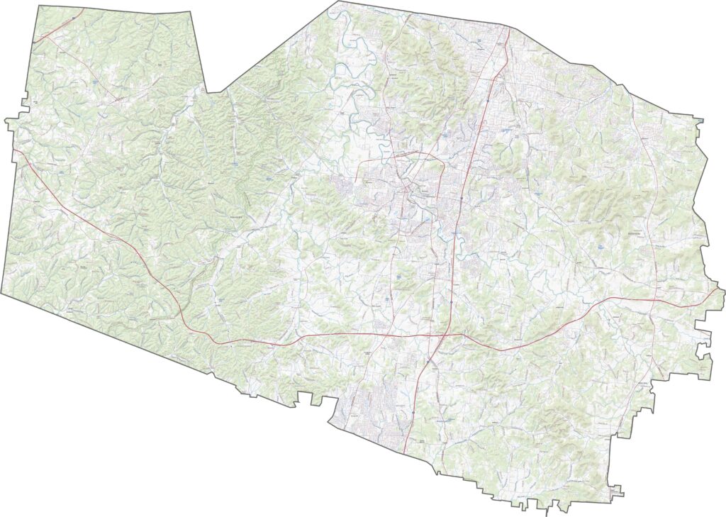
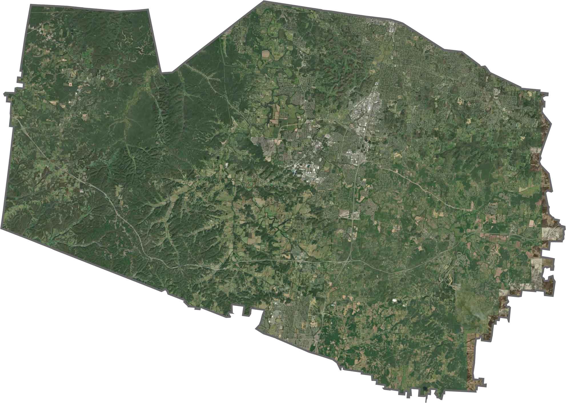
From above, Franklin stands out near the center of the satellite view. Development follows the interstate corridor, creating dense and orderly patterns. Outside the core, the landscape becomes a mix of green hills, wooded areas, and winding roads. Some farms remain, although neighborhoods continue to close in.
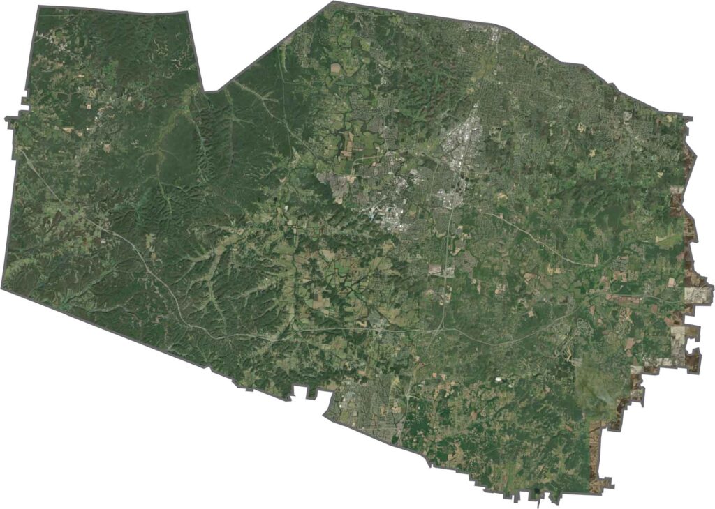
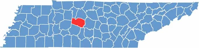
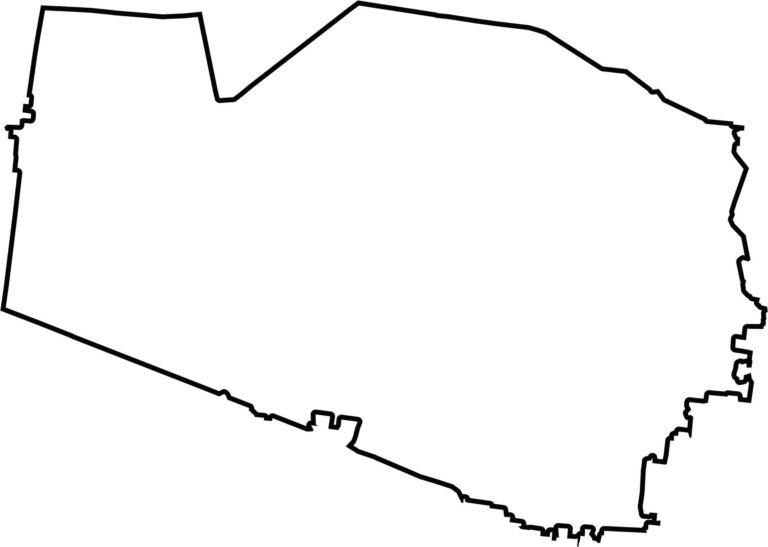
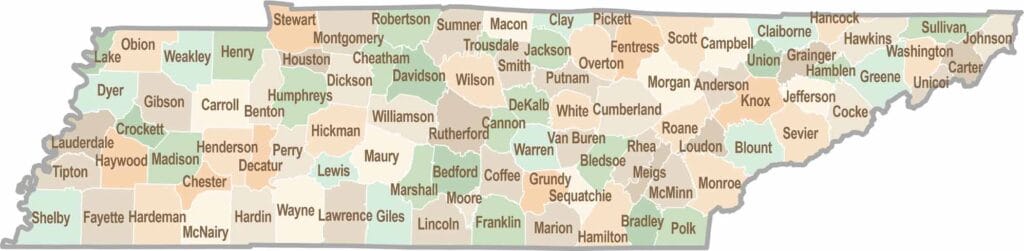
Williamson County has a wide, lopsided shape. It doesn’t border another state and sits near the center of Tennessee. A few notches and irregularities give the county outline its distinctive appearance.
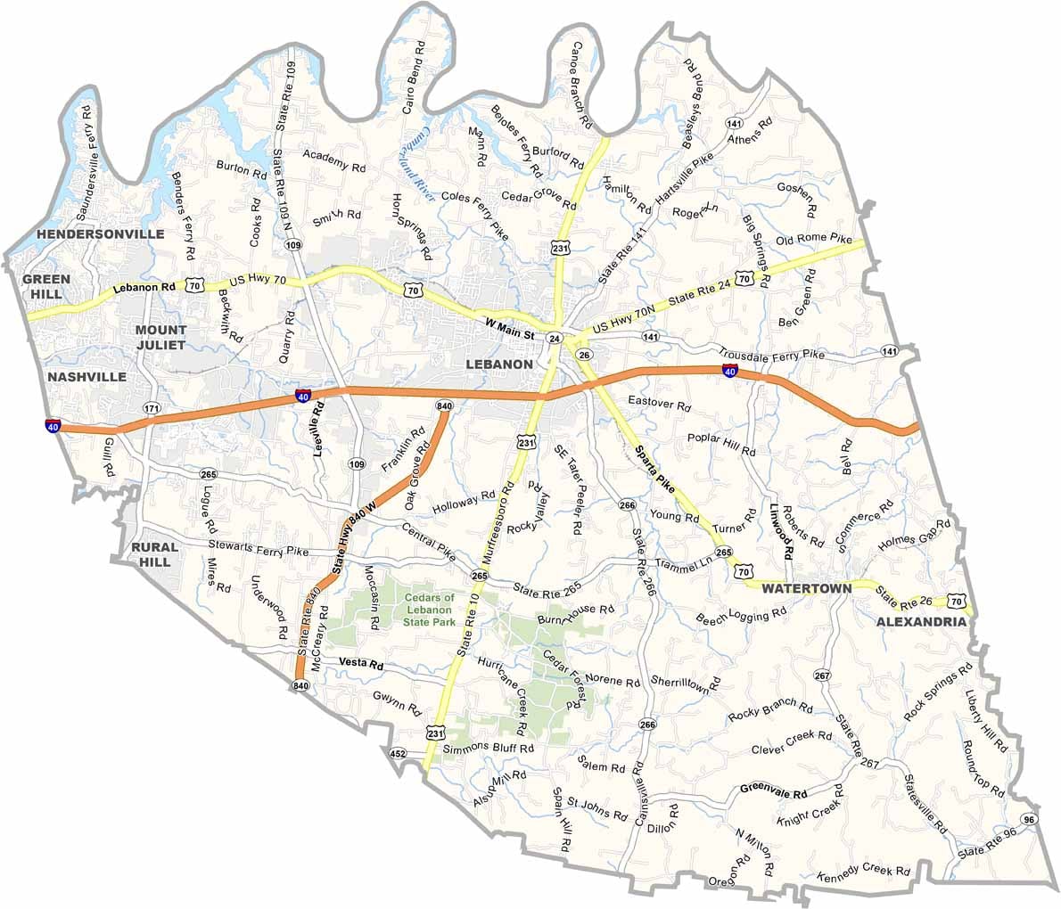
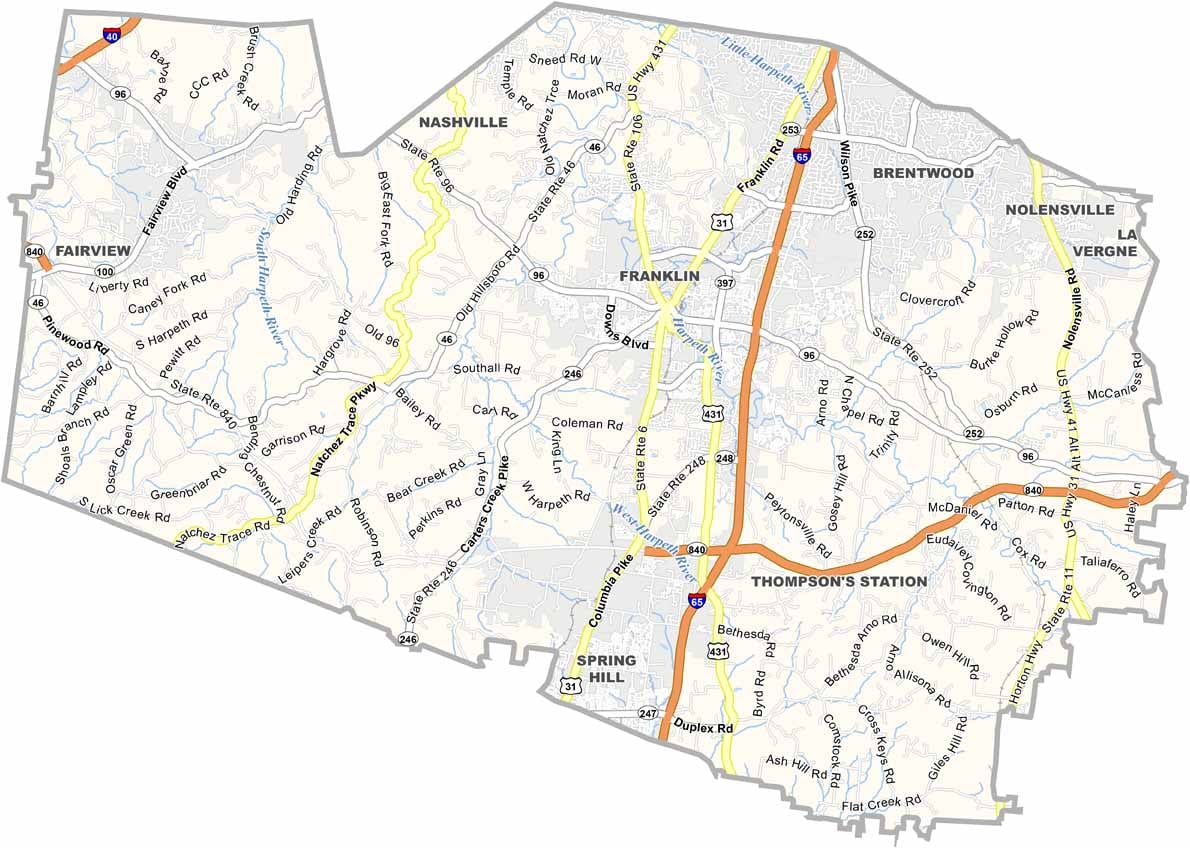


No county in Tennessee is a boring one. Some stretch through the Smokies, while others roll out into the Delta flatlands. Every county is shaped by its land, and it shows.