
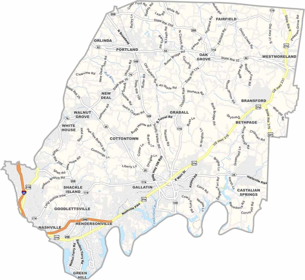
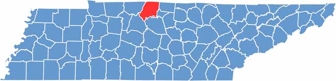
Sumner County sits just north of Nashville, bordering Kentucky to the north. You can’t talk about Sumner County without mentioning horses, because it’s big equestrian country.
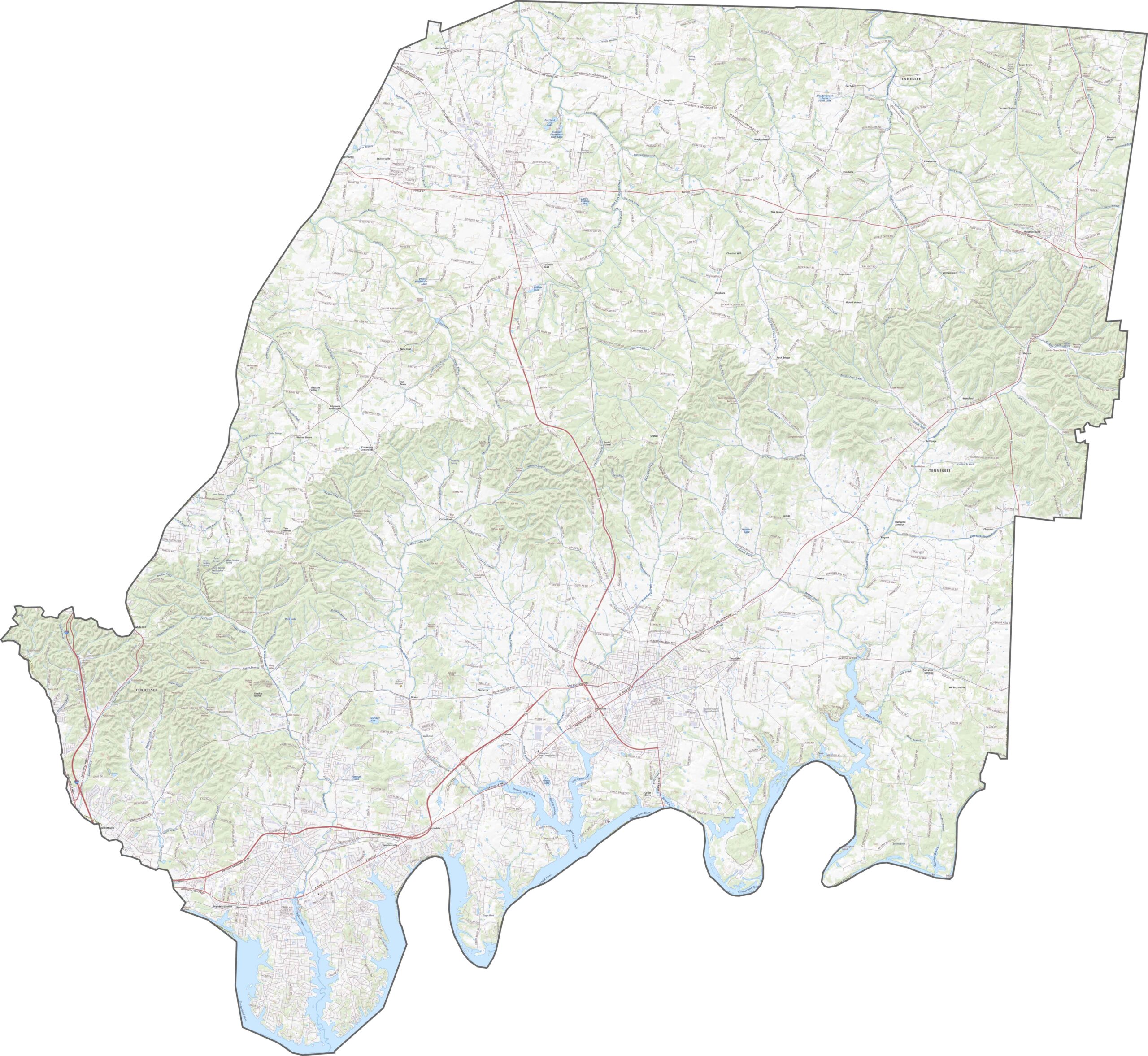
Hendersonville is the largest city and sits along Old Hickory Lake. It’s a peaceful area, perfect for water lovers. Gallatin serves as the county seat and has a charming historic downtown.
The county has experienced rapid growth lately, with many people moving in from Nashville in search of more space. It’s where the city meets the country, with top-notch schools adding to its appeal.
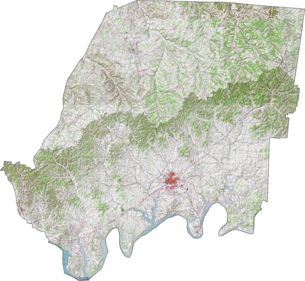
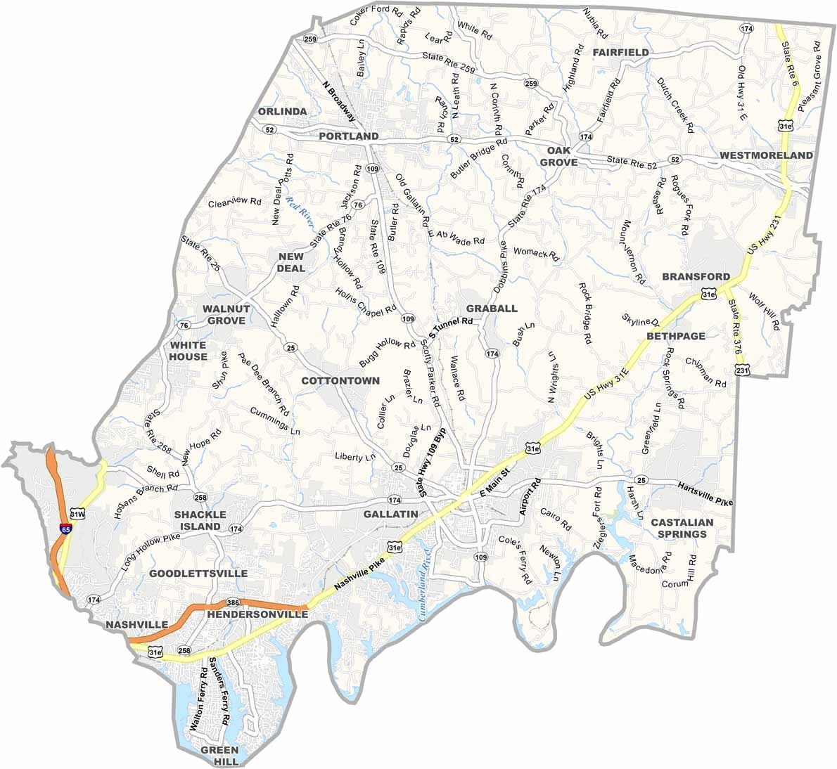
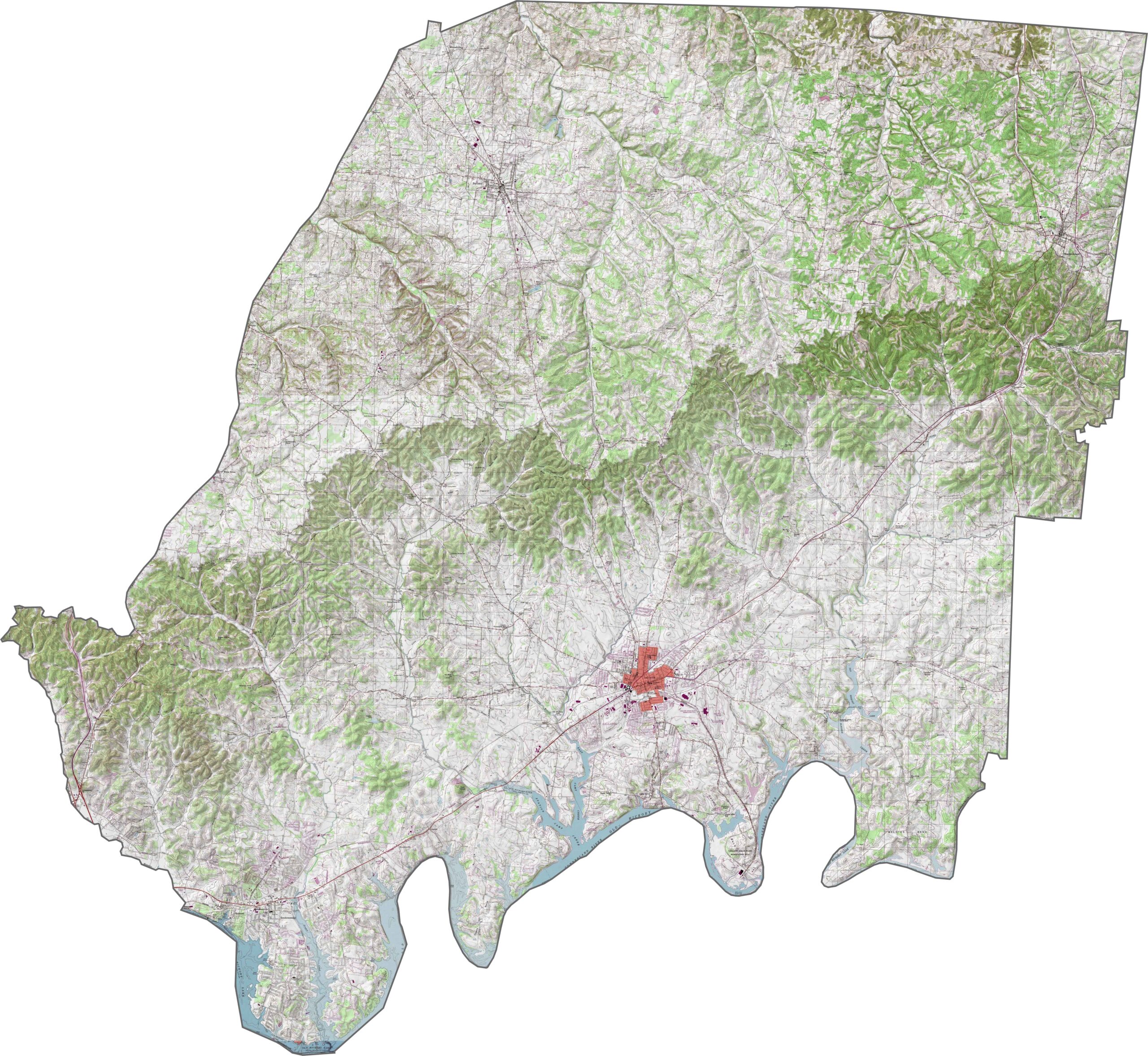
The land rolls gently across Sumner County. Shallow valleys and rolling hills dominate, especially outside the towns. The Cumberland River forms the county’s southern edge, giving the area both its shape and its story.
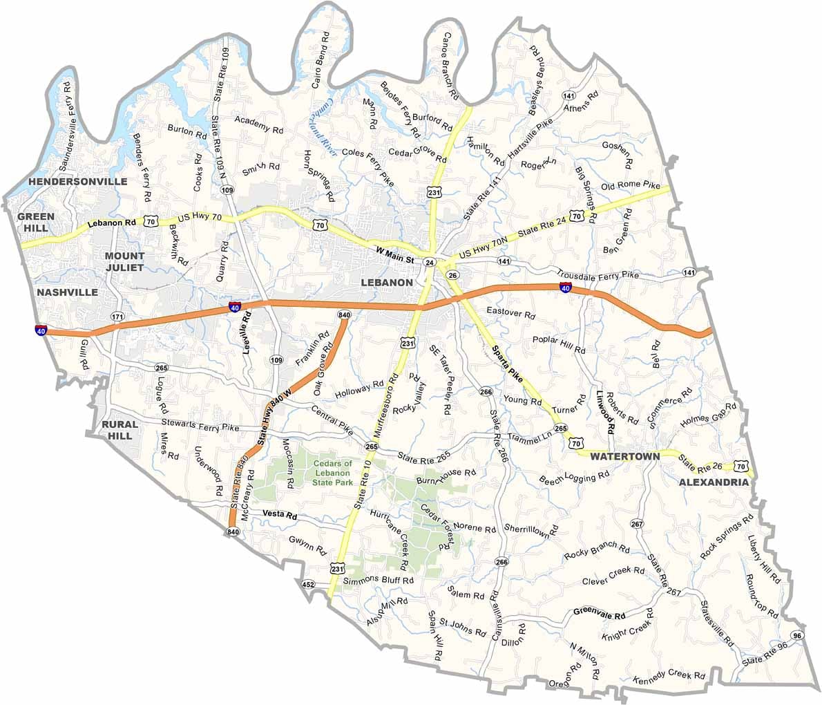
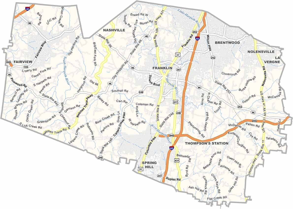
Sumner County’s roads combine older routes with newer, expanding ones. I-65 runs along the western edge, carrying traffic north and south. Farther east, winding roads pass through farmland and suburban areas. Use our zoom tool below for a closer look at how everything connects.
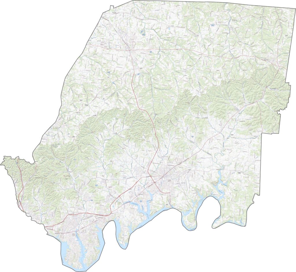
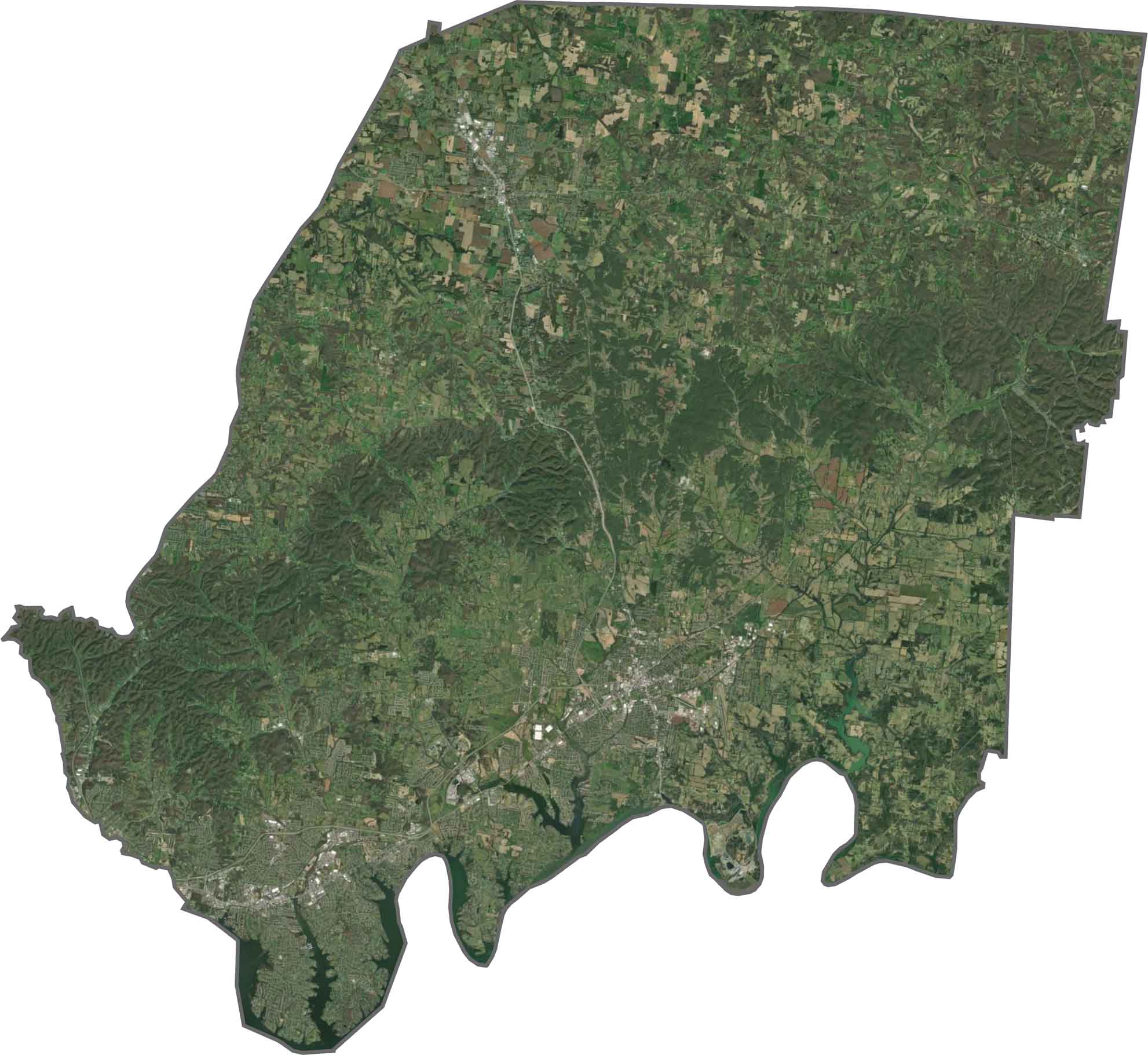
From above, Gallatin and Hendersonville stand out with their organized street grids. Between them are pockets of farmland and long stretches of green. Wooded areas line the riverbanks, adding more natural scenery to the landscape.
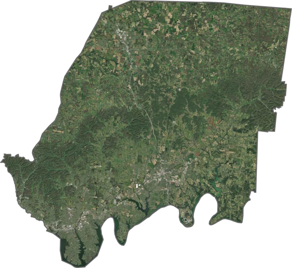
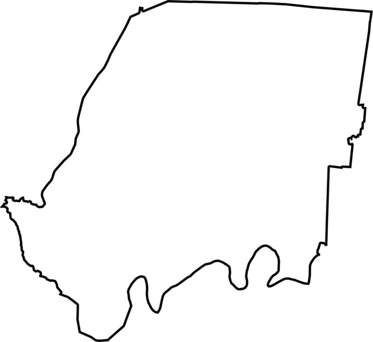
The county has an uneven outline, with bumpy edges and a flatter southern side. The Cumberland River forms the southern boundary, while Kentucky borders the county to the north.


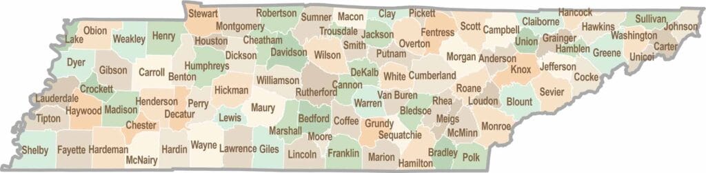
No county in Tennessee is a boring one. Some stretch through the Smokies, while others roll out into the Delta flatlands. Every county is shaped by its land, and it shows.