
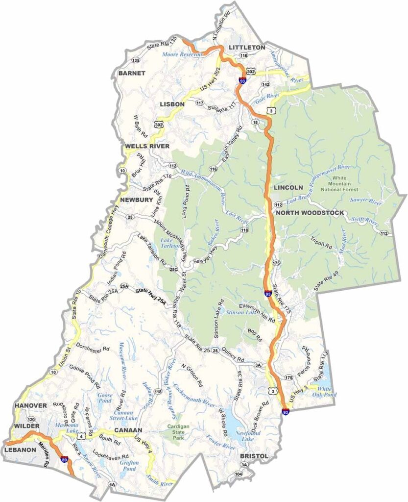
Grafton County stretches across west-central New Hampshire, from the Connecticut River to the White Mountains. It's a place of contrasts. Dartmouth College brings an Ivy League vibe to Hanover, while just down the road you might spot a black bear crossing a dirt path.
The Appalachian Trail runs through the county, and Plymouth, another college town, serves as a gateway to the lakes and mountains. You'll find some of the state's best skiing at Loon Mountain and Cannon, along with hidden gems like Cardigan State Park.
Locals take pride in their maple syrup production, and White Mountain National Forest occupies a large chunk of the northeast. It's a mix of old and new here, with historic covered bridges standing alongside cutting-edge research at Dartmouth. People come for the scenery but stay for the community.
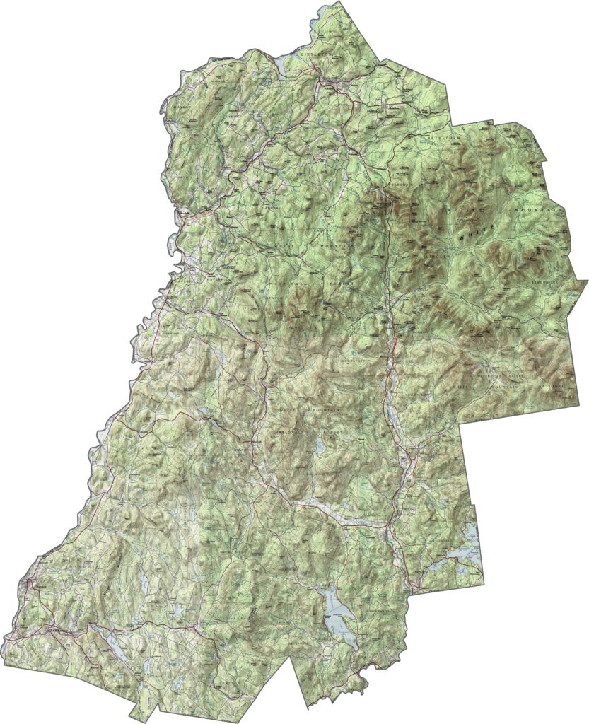
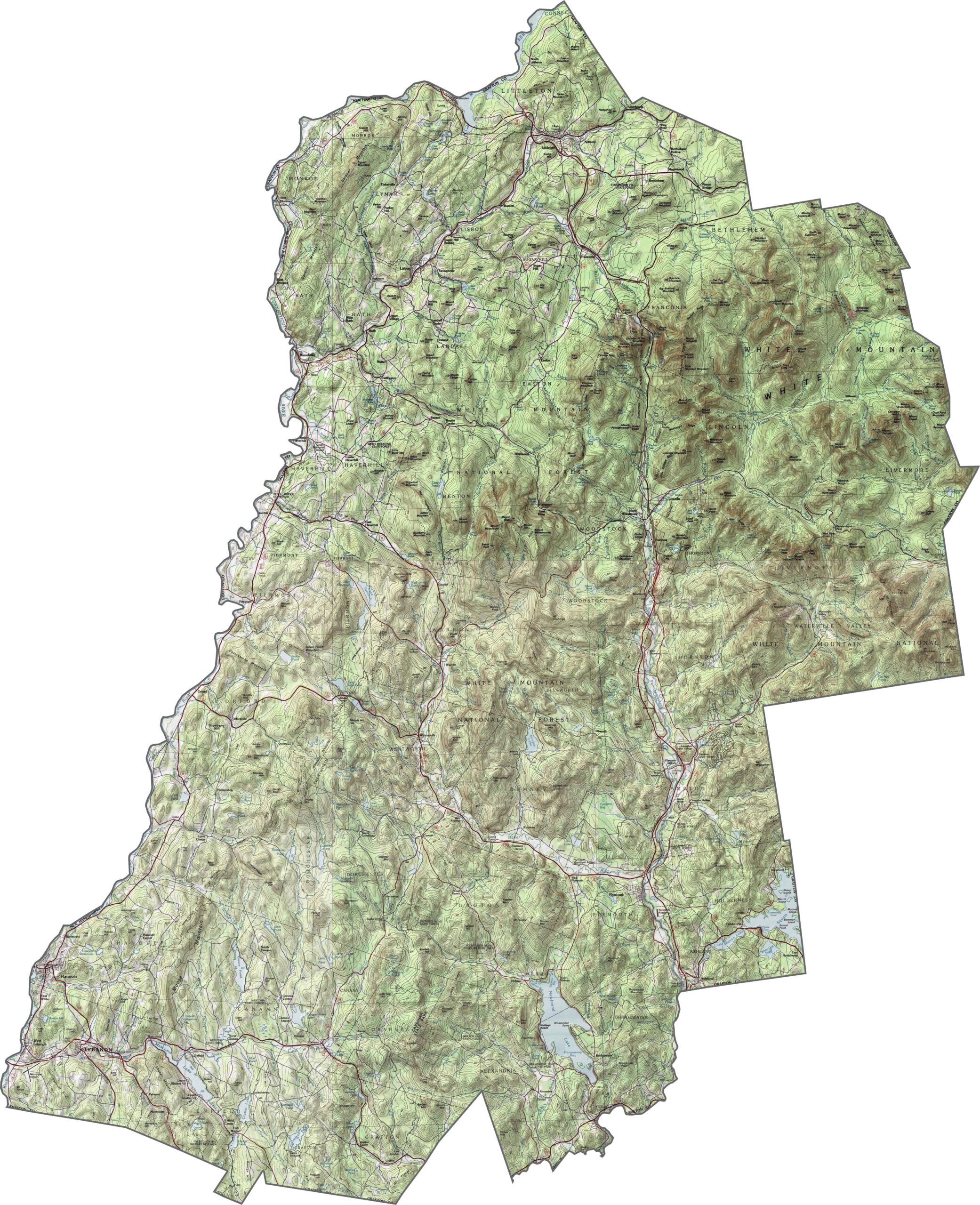
Grafton County has it all: valleys, peaks, and rivers. The White Mountains cover the eastern part, while the western edge drops into the Connecticut River Valley. Use our zoom tool to examine all the contours and elevation changes.
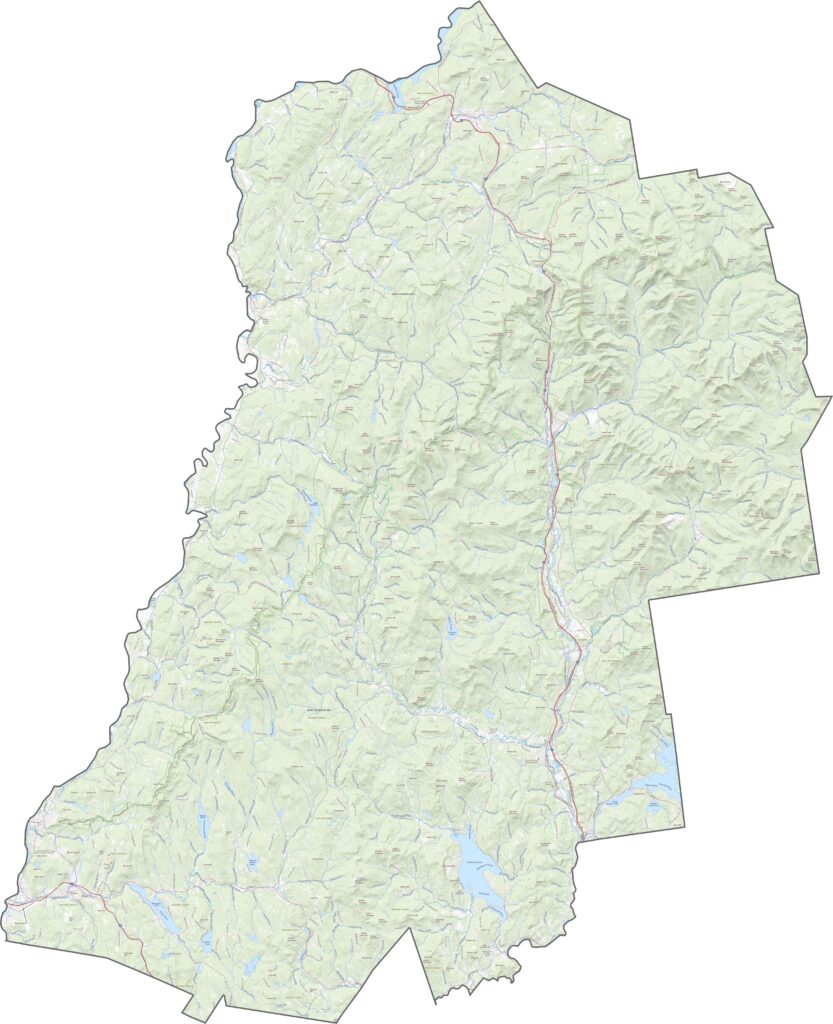
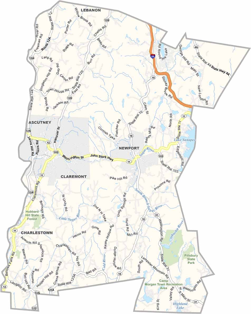
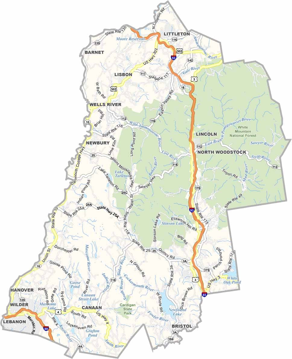
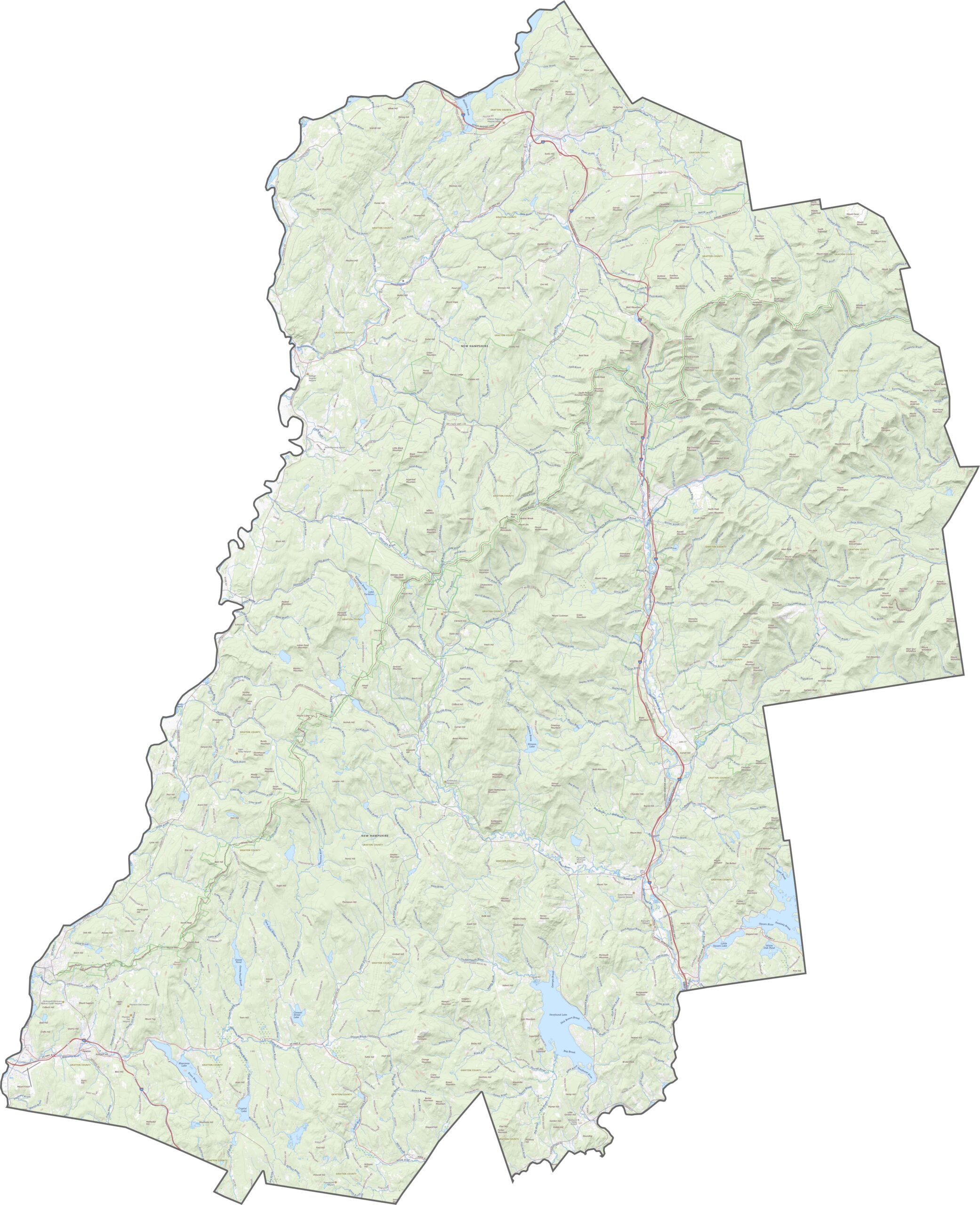
Grafton County has more options than most. I-93 slices down the center, while Route 302 crosses the top. Even in mountainous terrain, roads still cut across the valleys. For a better look, zoom into our road map below.
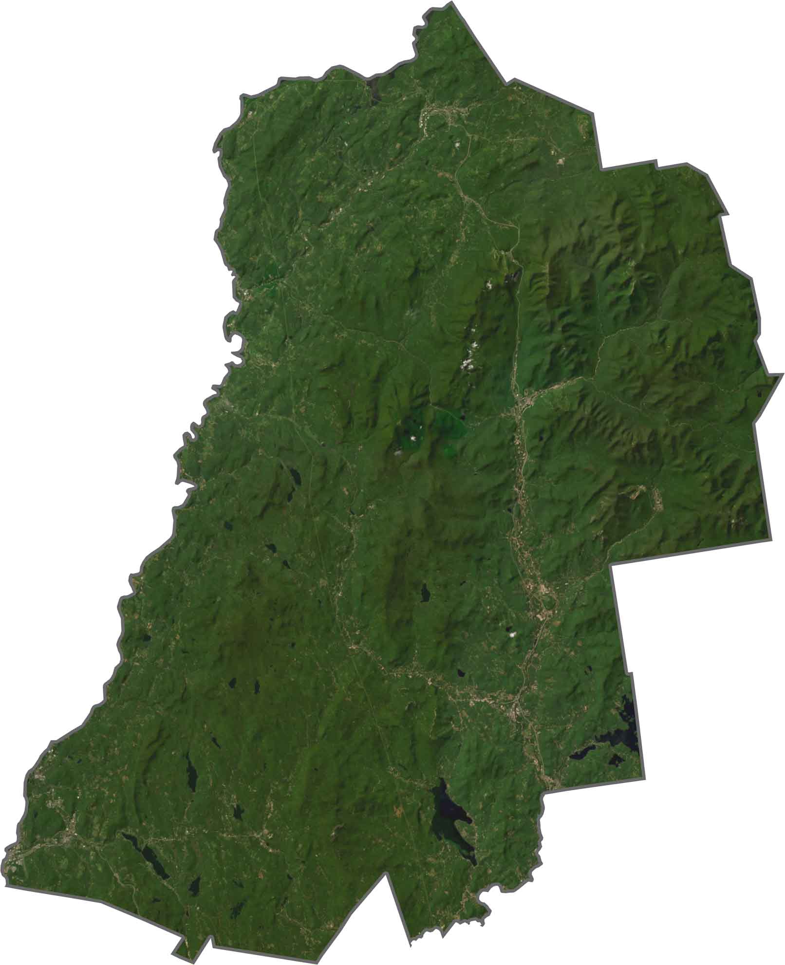
The eastern half is mountainous and dark green, with forests stretching over the hills. Franconia Notch and its ridges are visible from above. Although the land looks wild, towns cluster near the rivers, and Hanover pops out near the Connecticut River. Lakes like Newfound and Stinson dot the view too, but overall, the trees still win.
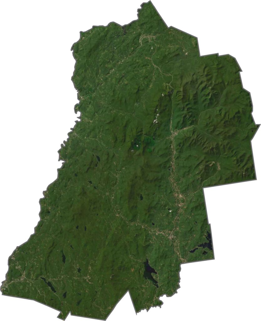
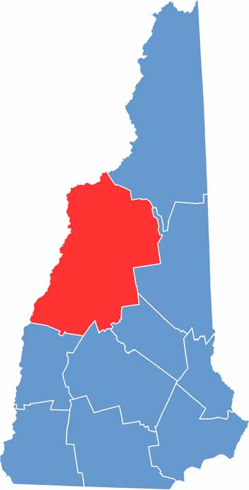
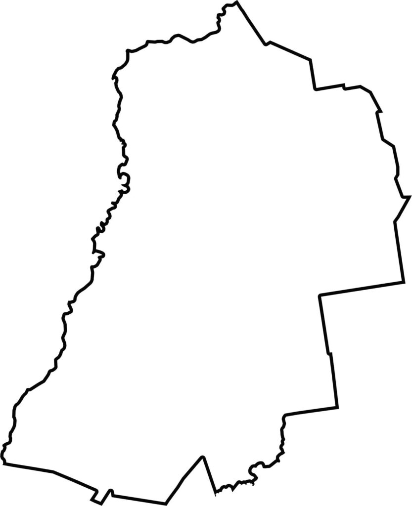
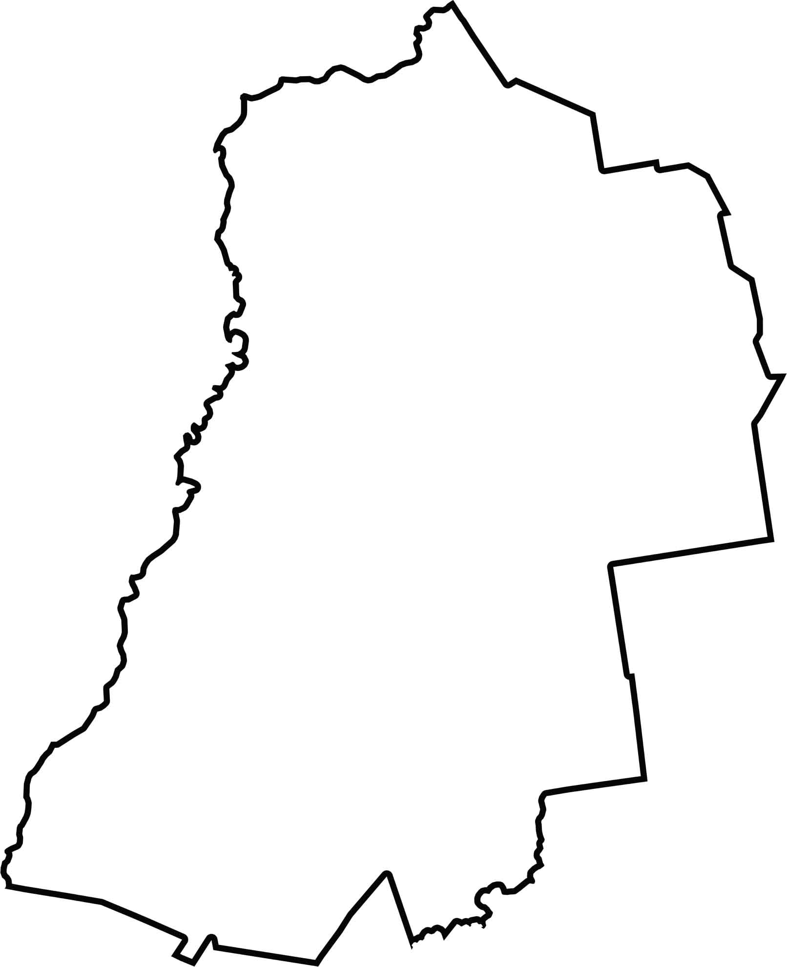
Grafton County is broad, with a slightly curved shape. It borders Vermont to the west, with the Connecticut River serving as a natural boundary, while the rest of the border zigzags across the hills. Its outline isn't neat, but it makes perfect sense on a terrain map.
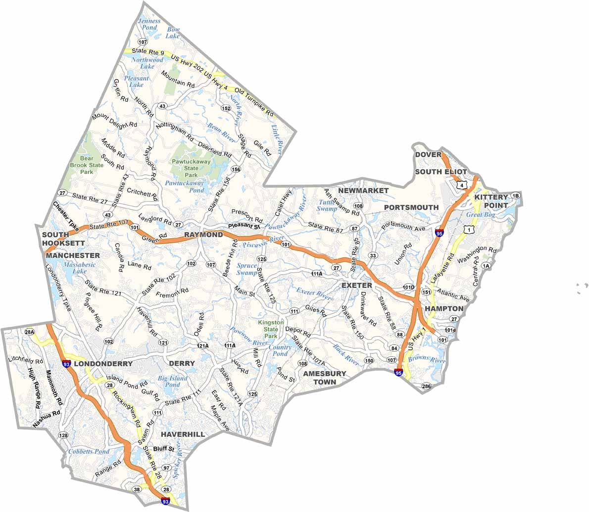

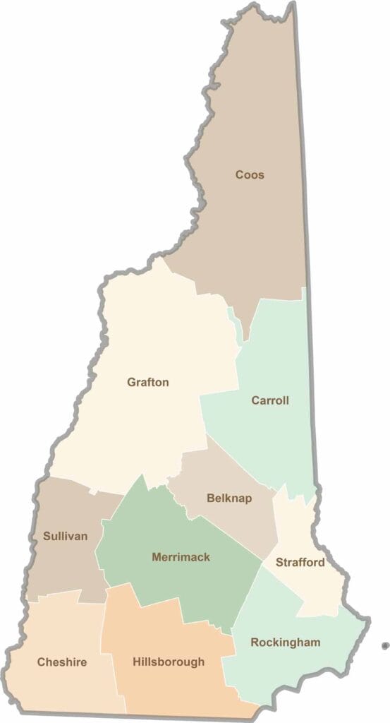
Discover the Granite State, home to 10 counties packed with mountain switchbacks, colonial villages, and Atlantic winds. Enjoy maple syrup mornings, moose crossings, and so much more.