
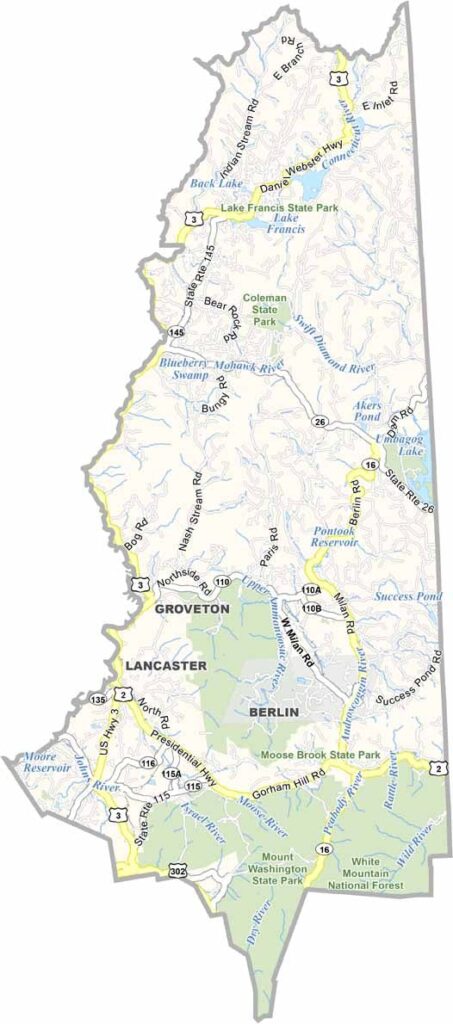
Coos County lies in the northernmost reaches of New Hampshire, bordering Canada, Vermont, and Maine. Its vast wilderness is larger than Rhode Island, and in some parts moose outnumber people. The rugged Appalachian Trail cuts through the east.
Berlin was once a booming paper mill town and has lately been reinventing itself. Lancaster is the county seat, sitting along the Connecticut River, which forms the western border. ATV trails crisscross the landscape.
You'll find some of the state's best fishing and hunting here. Mount Washington, famous for its extreme weather, is located in the south of the county. Coos County even has its own little Grand Canyon. Yep, that's right: Sculptured Rocks Natural Area.
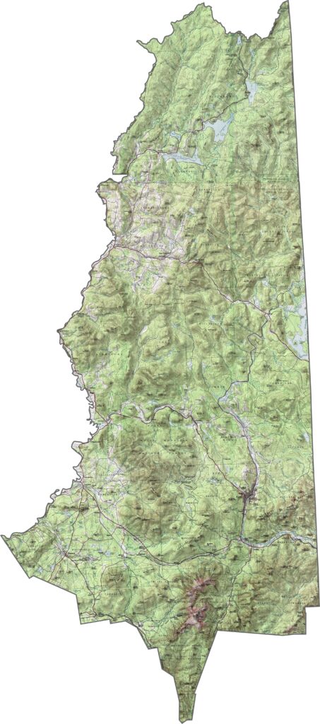
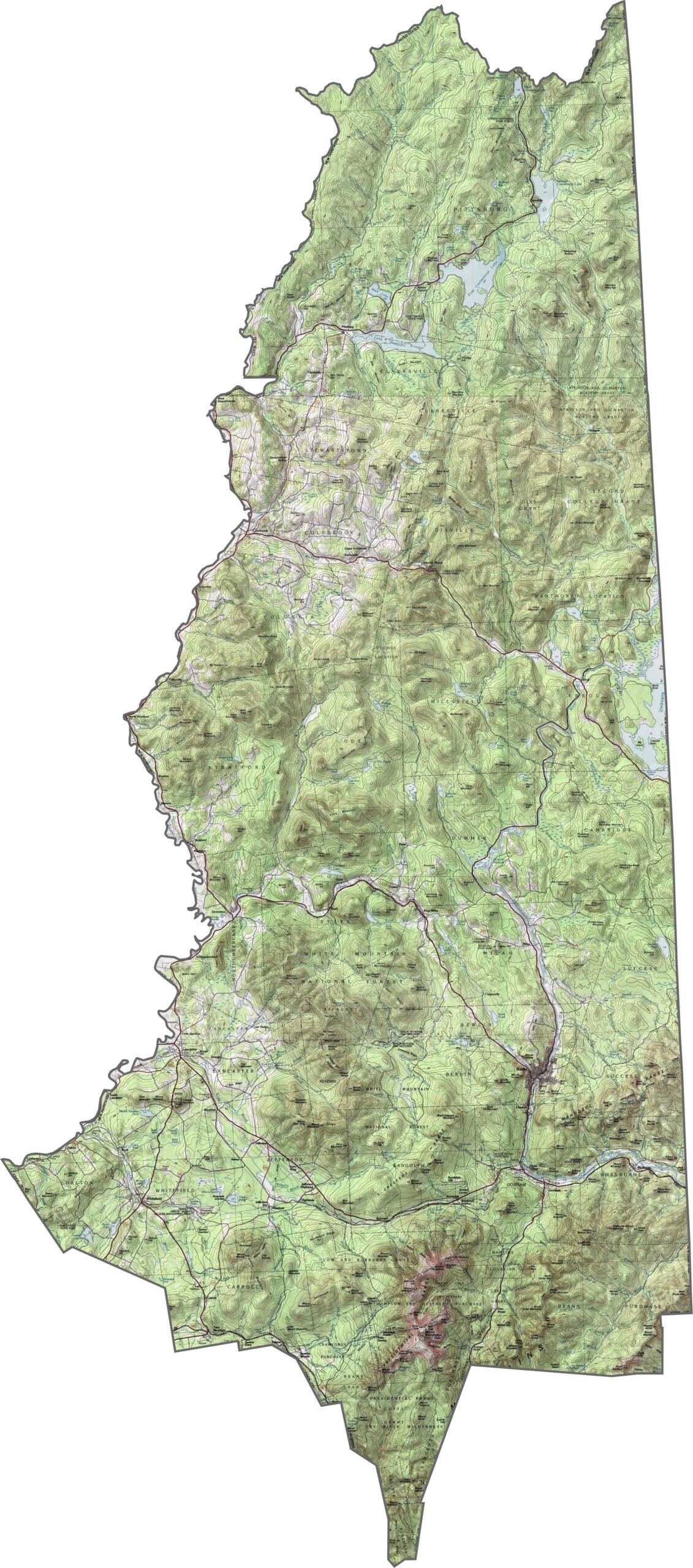
Coos County has New Hampshire's wildest terrain. The White Mountains continue here, but the North Country feels different: higher, colder, and lonelier. Peaks like Mount Cabot and others in the Pilot Range rise to the east. Although the valleys are low, the elevation changes quickly. The terrain is rugged and remote, and it's not gentle land.
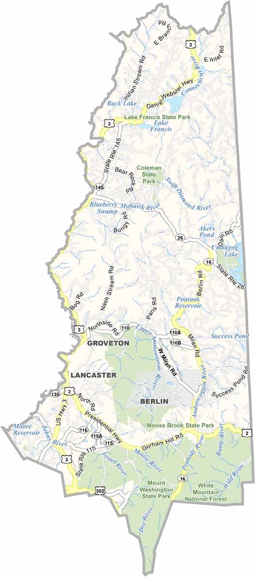
Up here in Coos County, the roads are long and few. There aren't any interstates, but Route 3 follows the Connecticut River. Although the county is vast, the road network stays sparse. Still, the scenic views make up for the extra miles. Use our zoom tool to get a better understanding of the road map below.
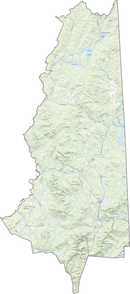
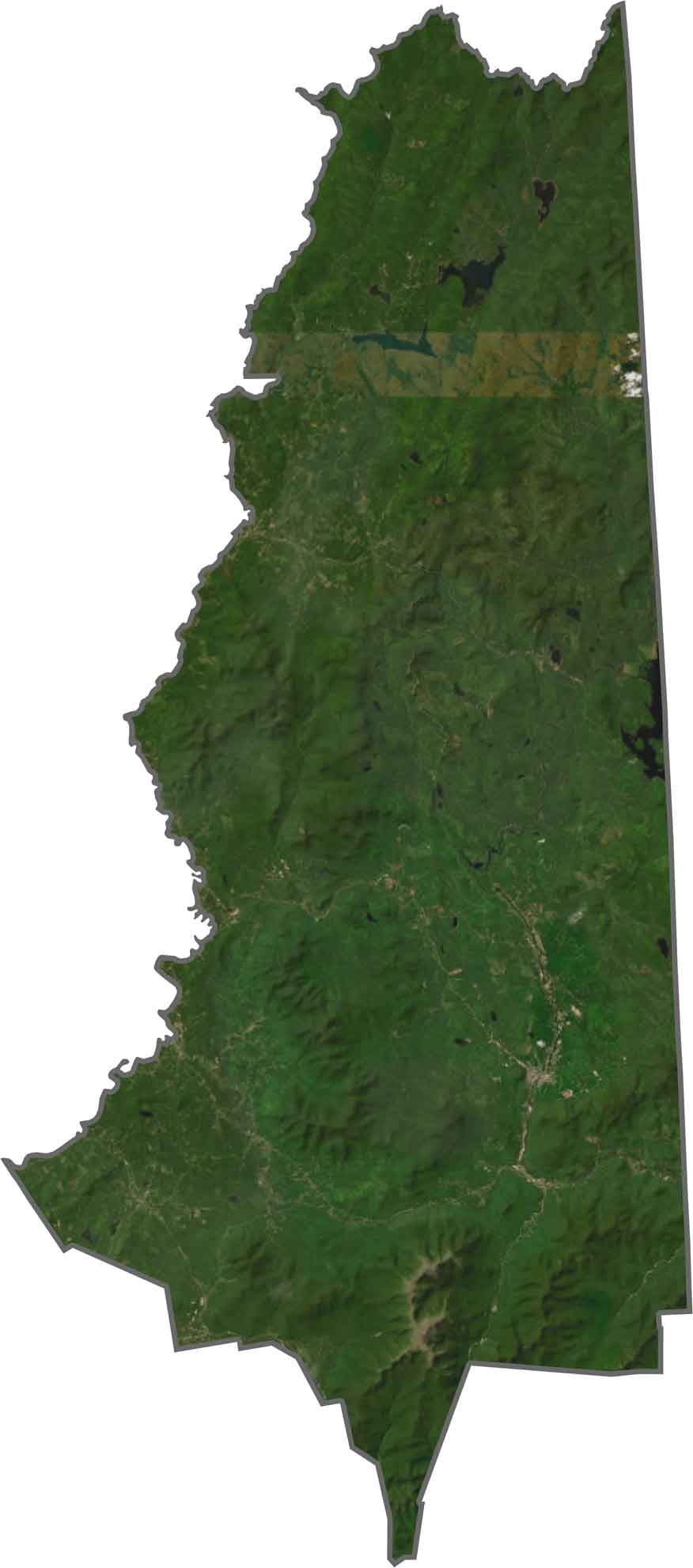
Trees rule from above, with endless forest broken only by thin roads and small towns. The Connecticut River stands out along the western border, and near the top, yep, that's Canada. Even towns like Berlin and Lancaster seem to hide in the landscape. It's a whole lot of green, and a whole lot of snow in the winter.
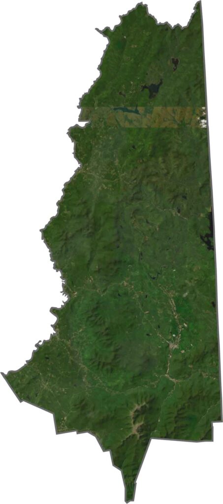
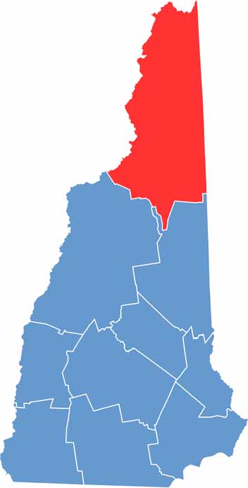
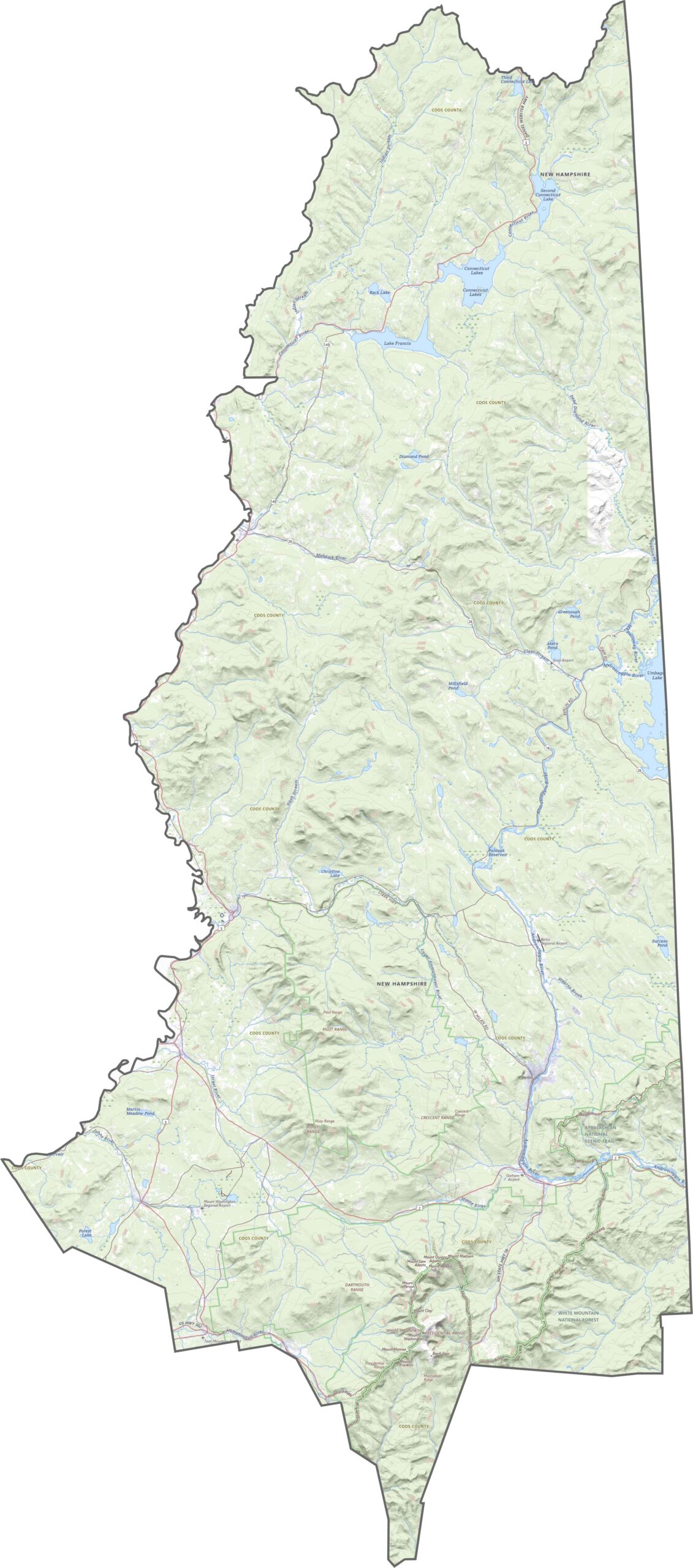
Coos County is New Hampshire's largest county by far, and its northern border touches Canada, which sets it apart. On the west, the Connecticut River outlines much of the edge, with Vermont lying across the water. On the east side, the county borders Maine along its entire length.
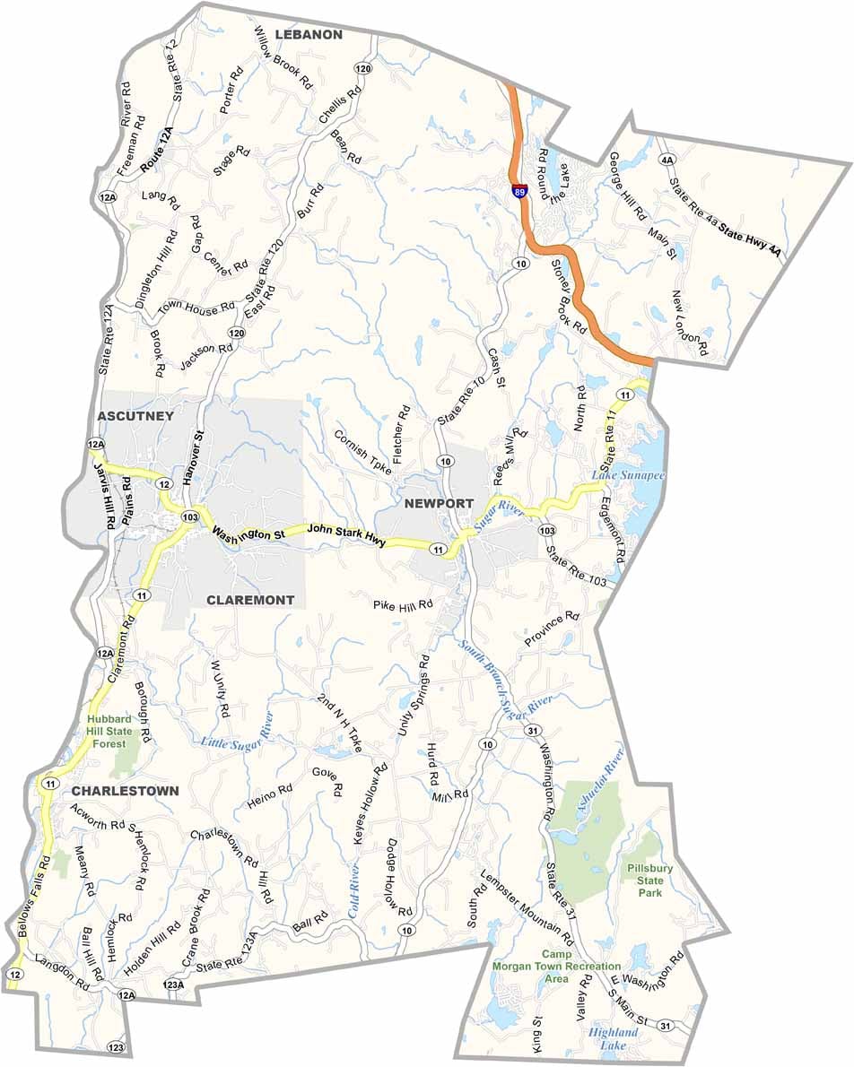
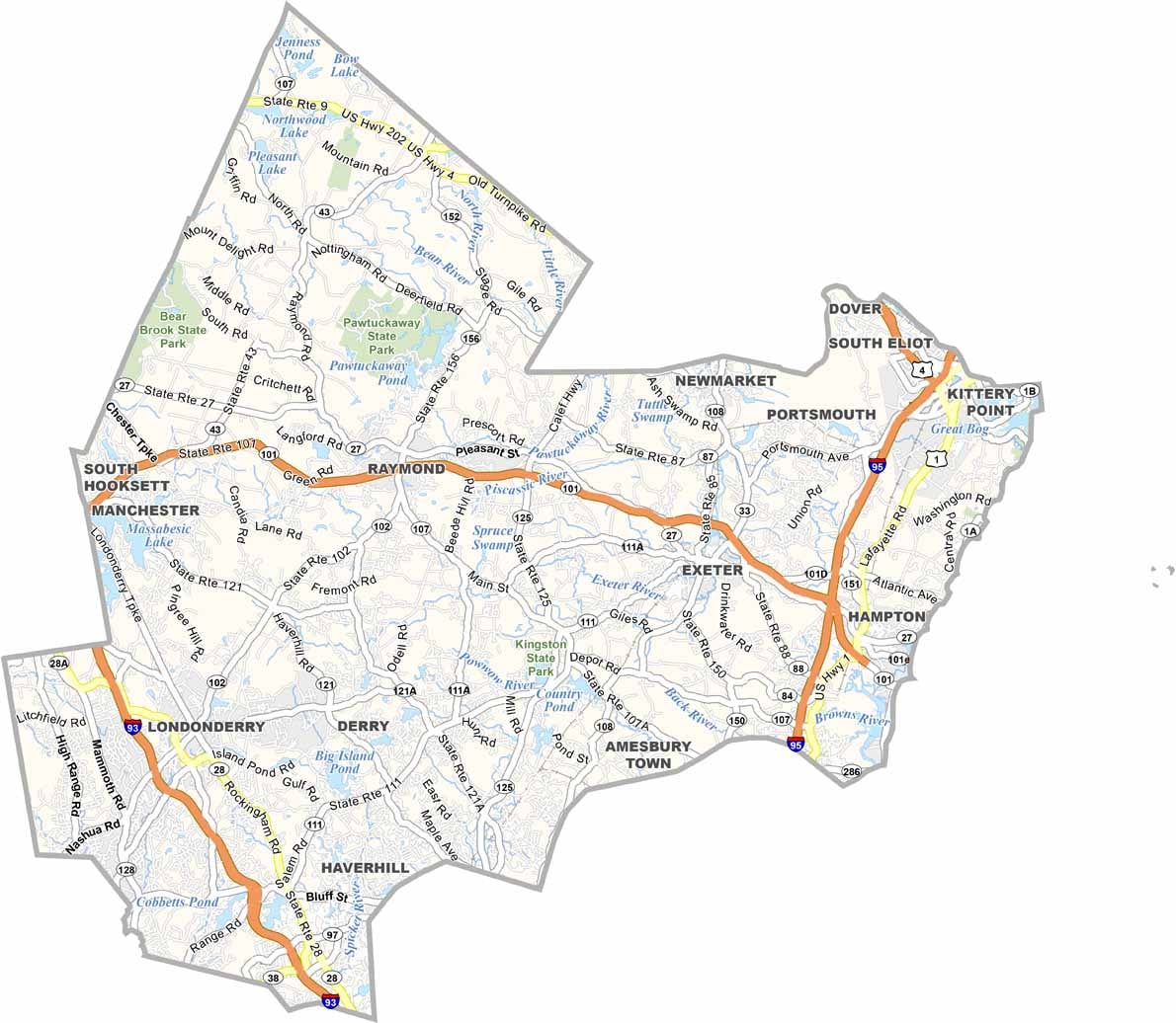
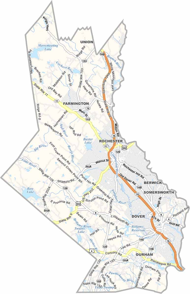
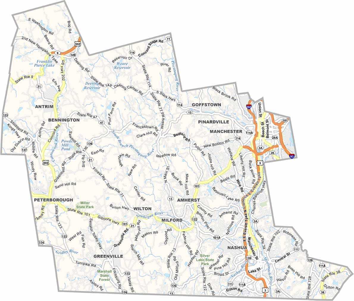
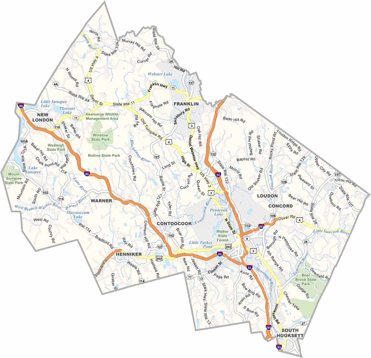
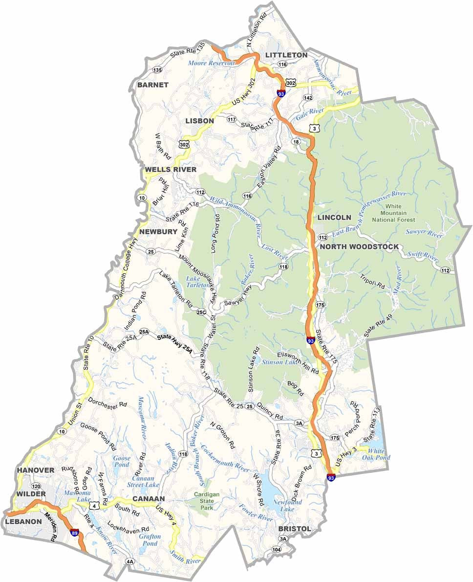
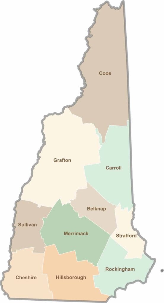
Discover the Granite State, home to 10 counties packed with mountain switchbacks, colonial villages, and Atlantic winds. Enjoy maple syrup mornings, moose crossings, and so much more.