
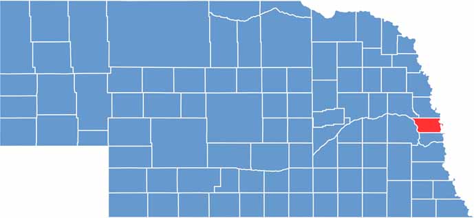
Douglas County sits in eastern Nebraska, right along the Missouri River. It's the most populous county in the state, home to Omaha, Nebraska's largest city, with over 500,000 residents.
While agriculture still plays a role, the county's economy is diverse, with major corporations, healthcare, and education among the big players. There's always something going on here, from the College World Series to the Henry Doorly Zoo, one of the best in the world.
The Old Market district in downtown Omaha is a favorite spot for locals and tourists. Despite its urban nature, you can still find pockets of nature, like Fontenelle Forest. And let's not forget the food scene. Omaha steaks, anyone?
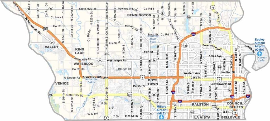
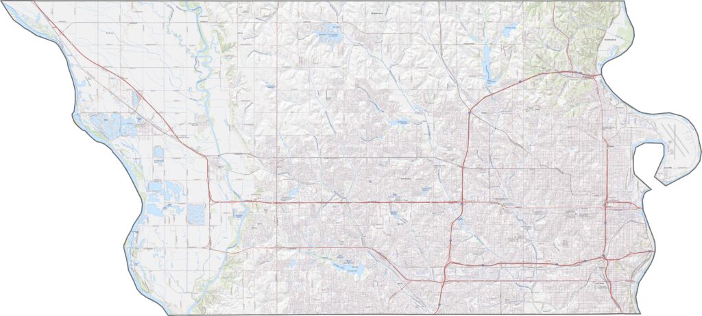
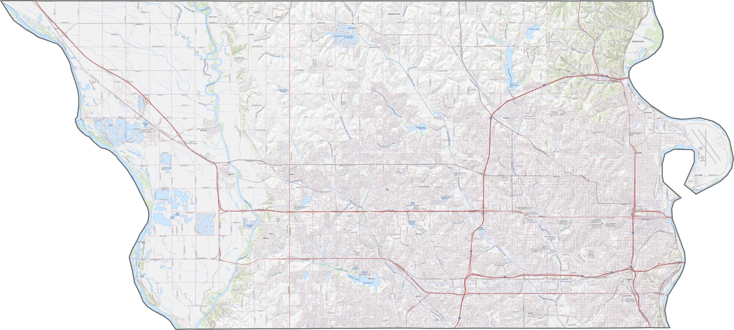
Douglas County has a dense highway network compared to the rest of Nebraska. Interstate 80 runs straight through Omaha, and it's not alone, as Highway 75 and I-680 loop and cut around the city. Though busy, access is (fairly) smooth from nearly every direction. If you're curious about the smallest roads, try our zoom tool for a closer look.
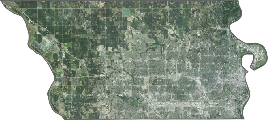
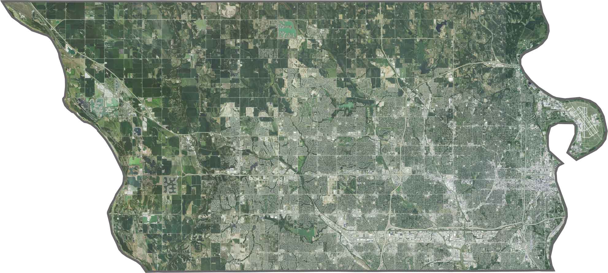
The urban grid of Omaha dominates our satellite map of Douglas County, with streets laid out tight and dense. Along the northwest edges, however, suburbs and farmland break it up. Though mostly developed, green patches still pop up.
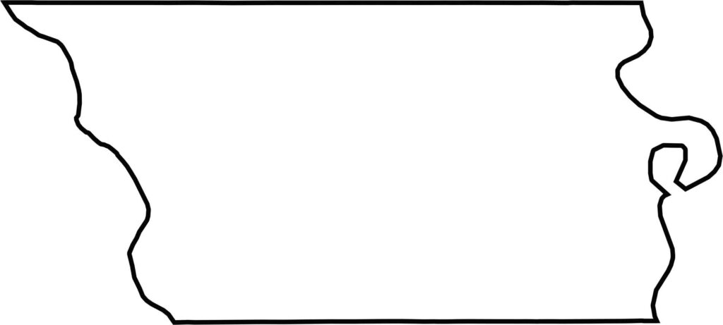
Douglas County is sandwiched between two rivers. While the Missouri River forms the eastern boundary, the Platte River borders the west. Directly across the Missouri River to the east lies the state of Iowa.







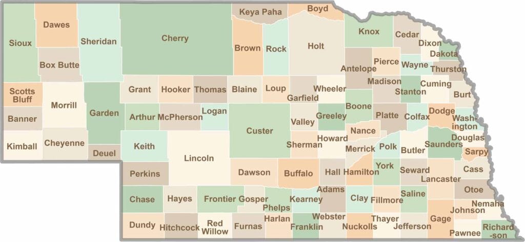
Endless horizons, golden fields, and quiet backroads. Explore the Cornhusker State and learn about Nebraska's 93 counties. Slow down and let the prairies work their magic.