
Washoe County sits in northwestern Nevada, bordering California and Oregon, where glitzy casinos and untamed wilderness exist side by side. Reno, the "Biggest Little City in the World," is the star of the show.
Venture beyond the neon, though, and you'll discover a different world. Lake Tahoe's crystal-clear waters draw tourists all day long, while the Sierra Nevada mountains loom large, offering world-class skiing in winter and hiking in summer. This county has range, from the endless playa of the Black Rock Desert to the lush Tahoe Meadows.
Washoe's history runs deep, from native peoples to silver miners to modern-day tech entrepreneurs. Despite the urban sprawl, there's still plenty of open space where wild horses roam free. It's a place where you can hit the slots and bag a mountain peak in the same day.
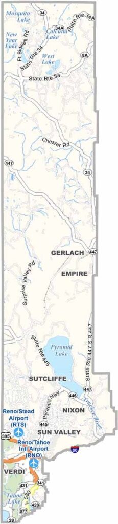
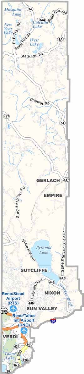
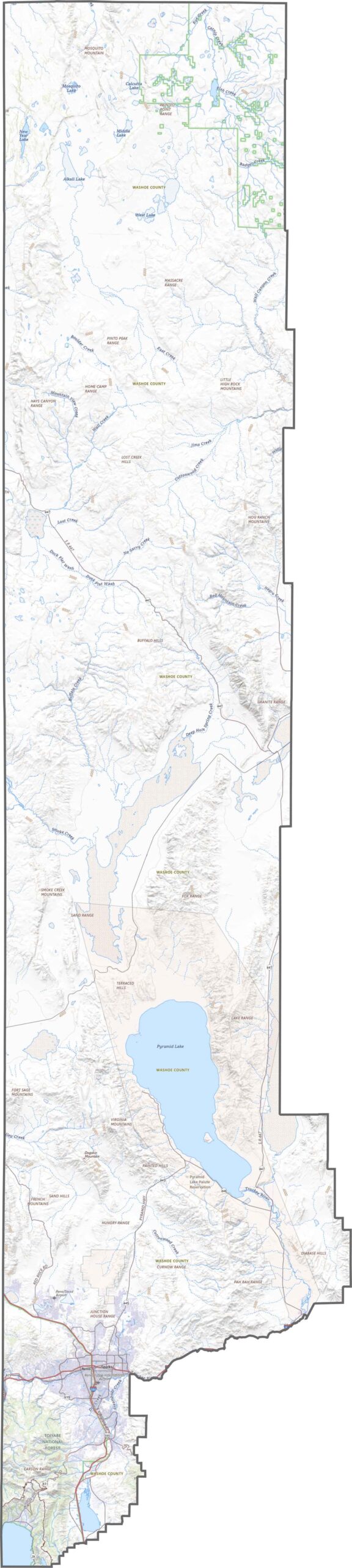
Washoe County has the highways and roads to match its size. I-80 runs east-west through Reno and Sparks, and the south is far more developed than the north. Zoom in using our road map of Washoe County below.
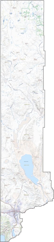
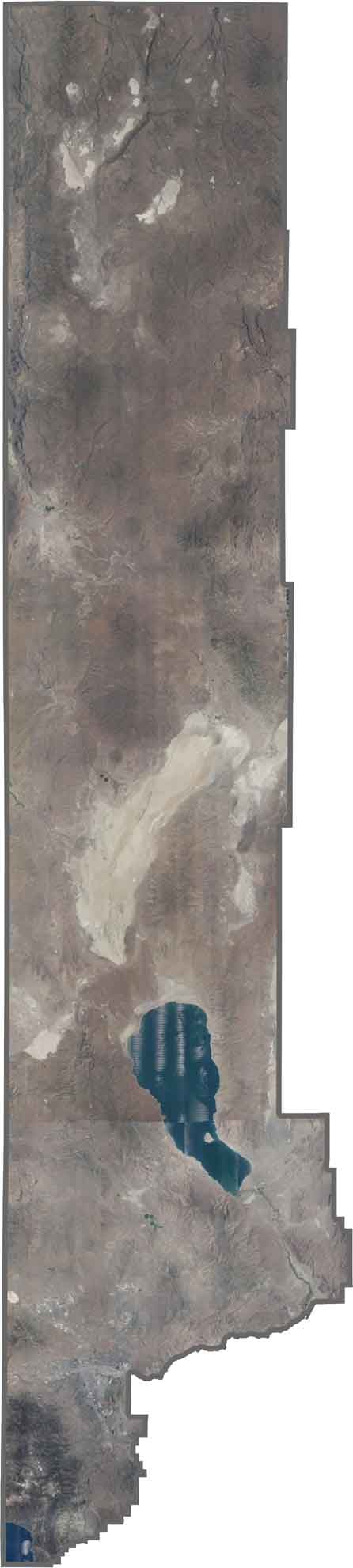
Pyramid Lake steals the show in the southern region of Washoe, while only a small part of Lake Tahoe appears in the southwest. Reno glows with urban gridlines, and Sparks fans out beside it. Northward, everything turns tan and dry across the desert expanse.
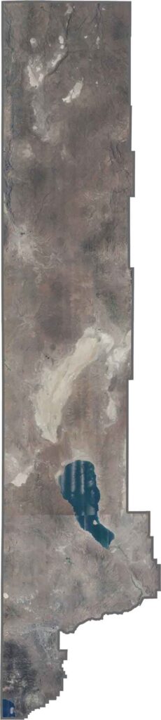
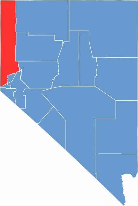
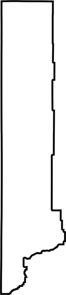
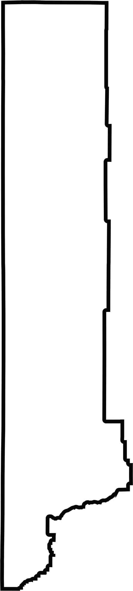
Washoe looks stretched, running long from top to bottom. While California borders the west, Oregon lies directly to the north. The county also borders a whopping 13 other counties.

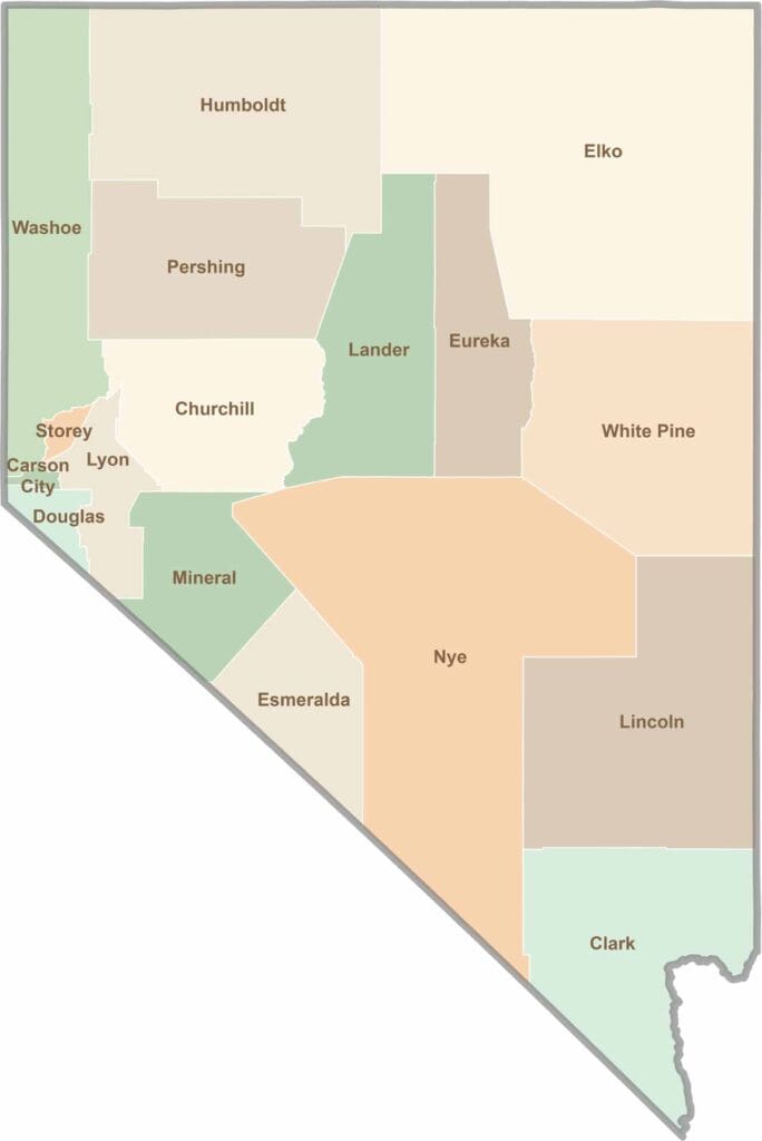
The desert tells our story. Las Vegas shines with 24/7 energy, but adventure waits beyond the Strip: red rock canyons, ghost towns, and so much more. Explore the 17 counties of Nevada.