
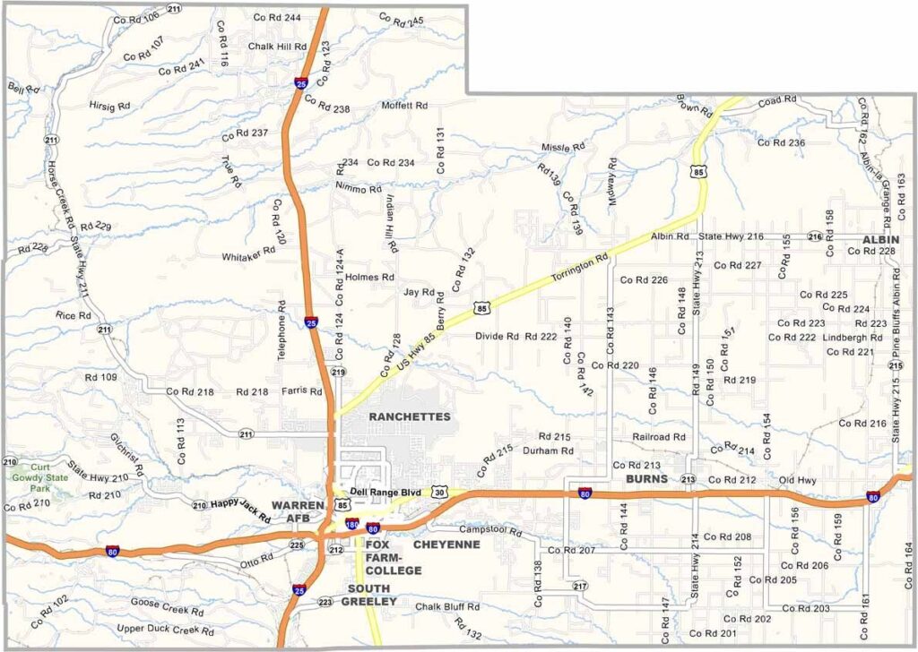
Laramie County is the most populous county in Wyoming and is located in the southeastern corner of the state. It is home to Cheyenne, Wyoming’s capital city, where the wide-open landscapes of the High Plains meet the rugged beauty of the Rocky Mountains.
The county is deeply connected to Wyoming’s legendary Western heritage, especially during Cheyenne Frontier Days, recognized as the world’s largest outdoor rodeo. However, Laramie County offers much more than its cowboy traditions.
F.E. Warren Air Force Base attracts residents and visitors from across the country, while agriculture remains an important part of the local economy. Cattle ranches and wheat fields stretch across the surrounding plains, reflecting the region’s strong rural roots. The historic Transcontinental Railroad also played a significant role in shaping the county’s development.
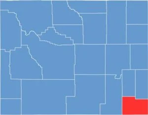
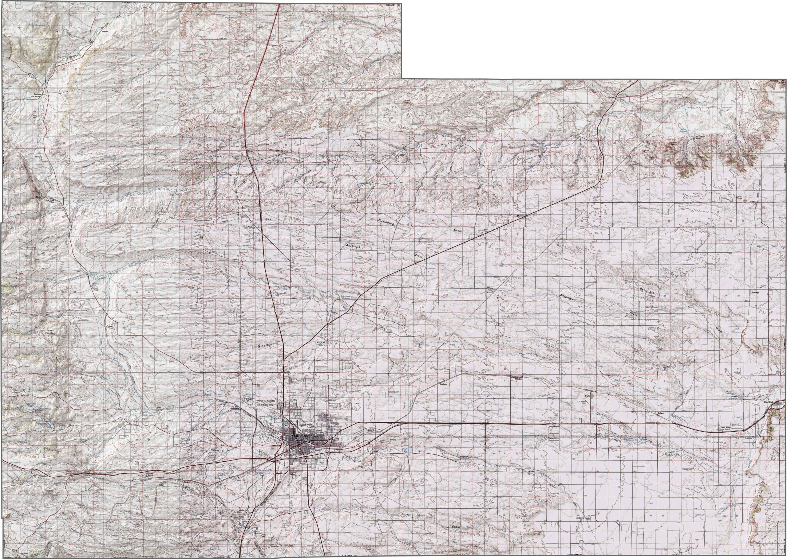
The Laramie County topographic map showcases the county’s location on Wyoming’s expansive High Plains, where the elevation changes gradually across the landscape. The terrain generally rises toward the west, offering distant views toward the Rocky Mountains. Much of the county consists of wide-open prairie, with gently rolling terrain and occasional ridgelines adding subtle variation to the otherwise broad, open landscape.
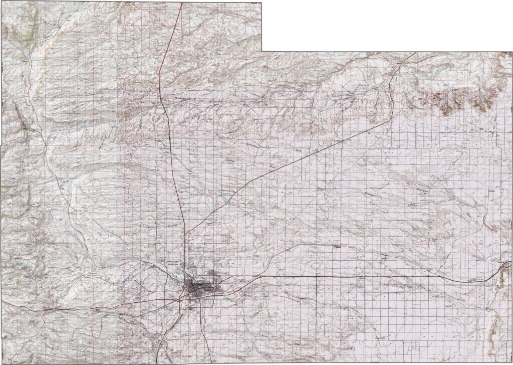
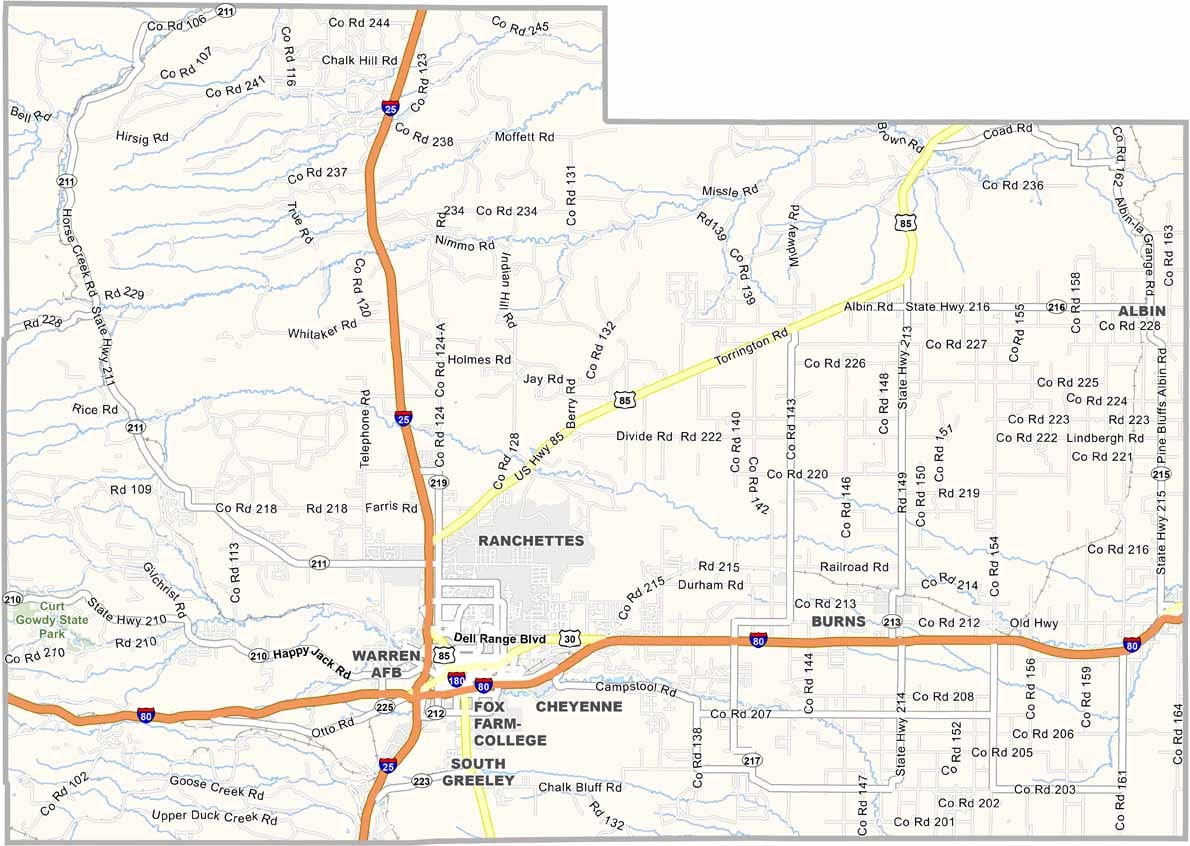
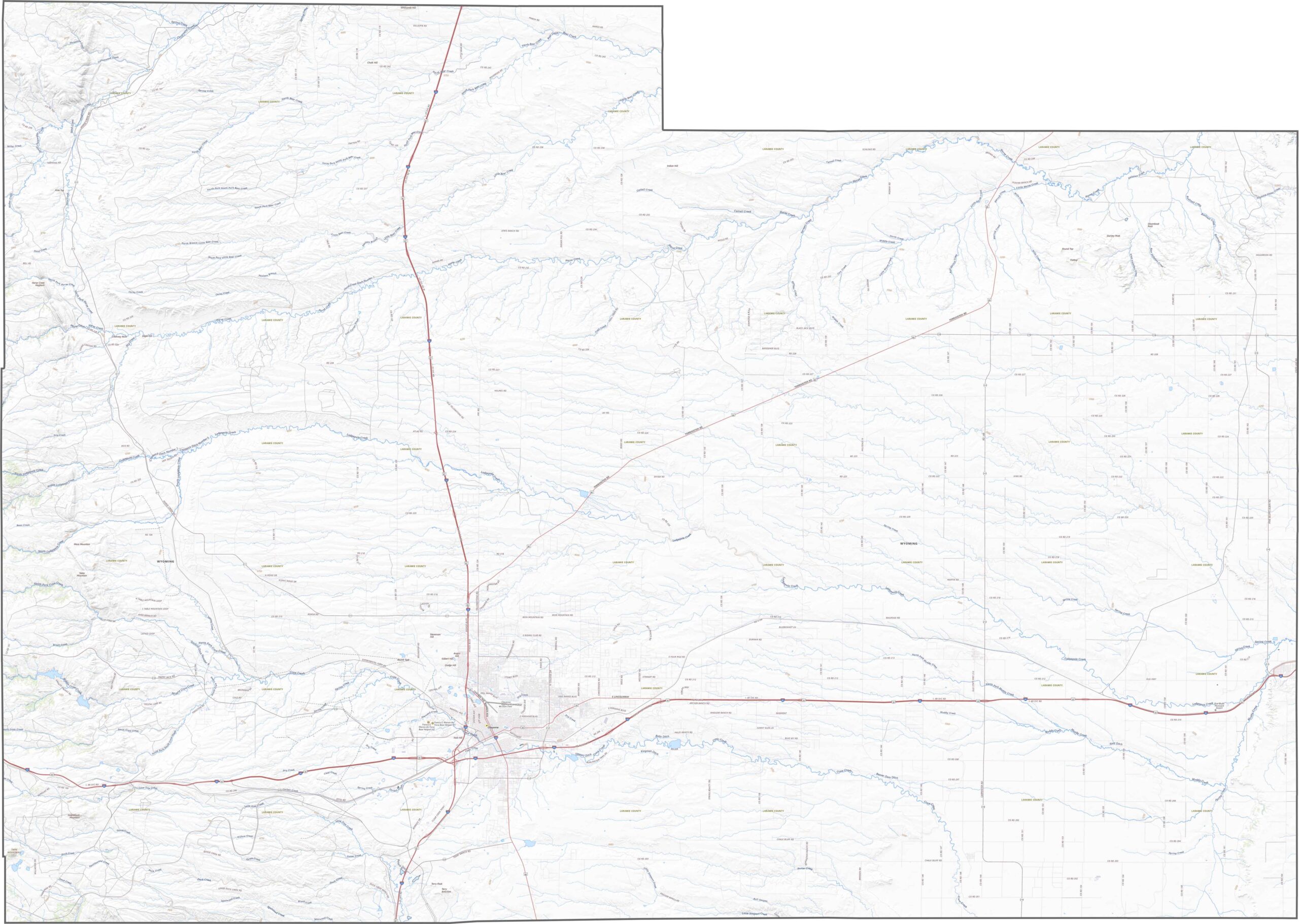
The Laramie County road map highlights an extensive network of highways connecting communities across southeastern Wyoming. Interstate 25 (I-25) runs north to south through the county, while Interstate 80 (I-80) crosses the southern portion, providing important east-west access. Cheyenne, the county seat and state capital, is well connected by these major transportation routes. Beyond the city, however, the road network becomes quieter and more remote, with expansive rural areas that offer a true sense of Wyoming’s wide-open spaces and solitude.
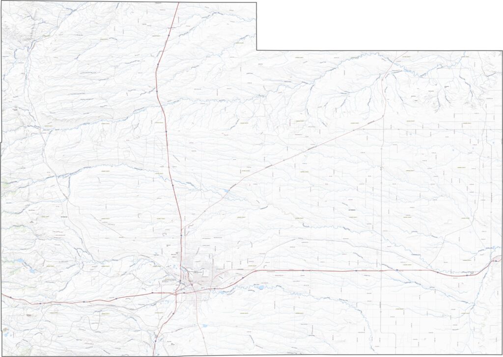
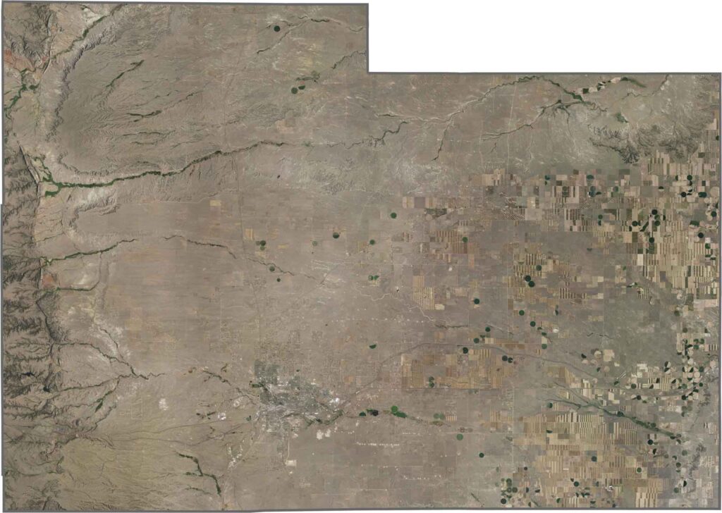
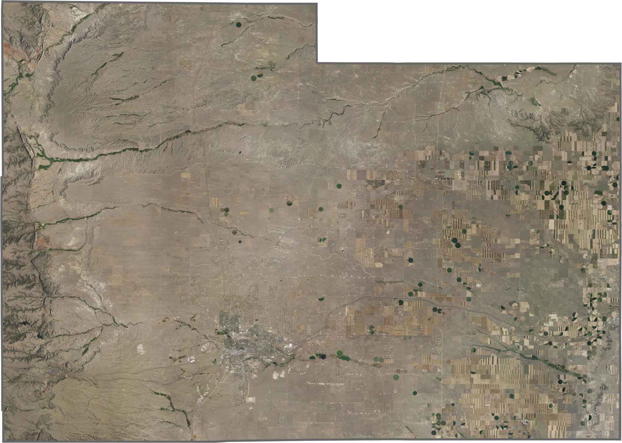
Our Laramie County satellite map provides a detailed view of the region’s diverse land use, including expansive farmland, open prairie, and developed urban areas. Cheyenne, the county seat and state capital, stands out prominently in the southern part of the county. Even near the city, much of the surrounding landscape remains open and dry, reflecting the High Plains environment. The satellite imagery also reveals areas of center-pivot irrigation, highlighting the role of agriculture in Laramie County’s rural landscape.
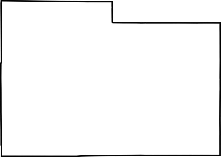
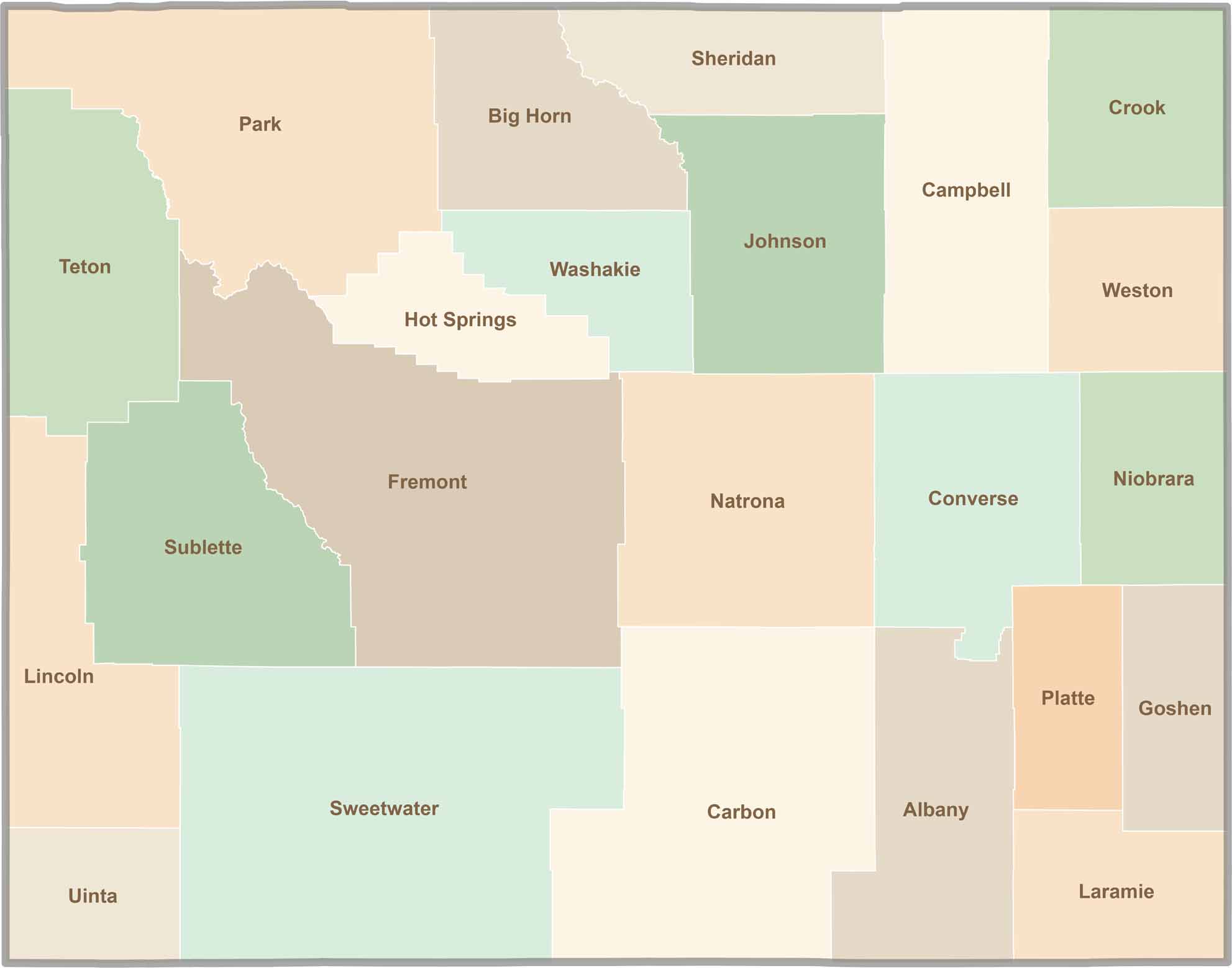
The Laramie County outline map shows the county’s broad, roughly rectangular shape in southeastern Wyoming. Laramie County shares a border with Colorado to the south and Nebraska to the east. Its boundaries are primarily straight lines, creating a distinctive geometric appearance that reflects the region’s organized land survey system.


Get ready for endless open skies and unforgettable road trips through Wyoming. Home to 23 vast counties, Wyoming is known for its wide-open landscapes, breathtaking scenery, and peaceful escapes—not crowded cities. It's a destination that's big, bold, and authentically beautiful. Wyoming doesn't have to try to impress visitors; its natural beauty and rugged charm do that effortlessly.