
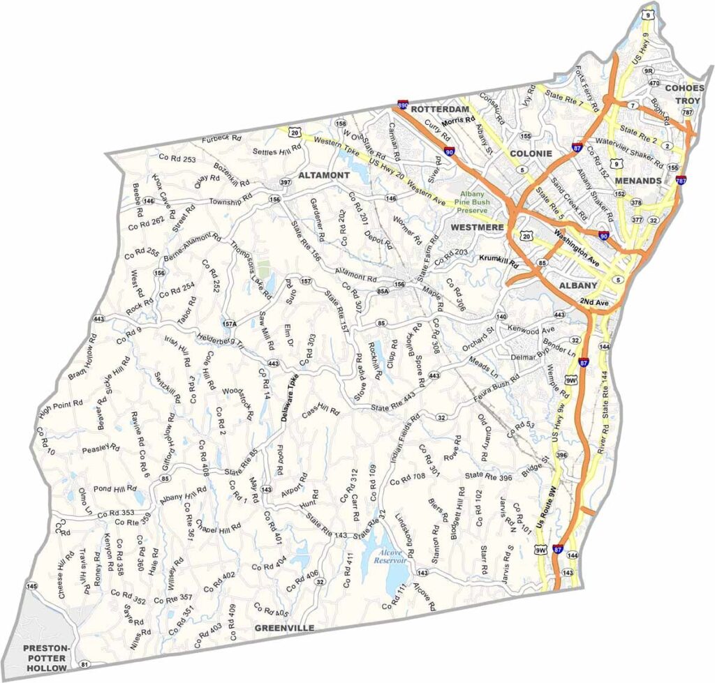
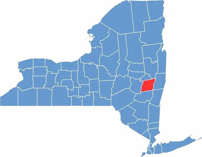
Albany County sits in eastern New York, straddling the Hudson River. It's home to the state capital, Albany, which gives the county its name. The Dutch settled here way back in the 1600s, leaving their mark on local architecture and culture.
The county has a strong economy, thanks to government jobs and a growing tech sector. Trendy restaurants and shops line the streets of downtown Albany, but drive a few miles out and you're surrounded by rolling hills and farms.
You'll find a mix of urban and rural vibes here. The Helderberg Escarpment offers hiking and rock climbing, and the county's location makes it a great base for exploring the rest of upstate New York. It's an hour from the Adirondacks and not much farther from the Catskills.
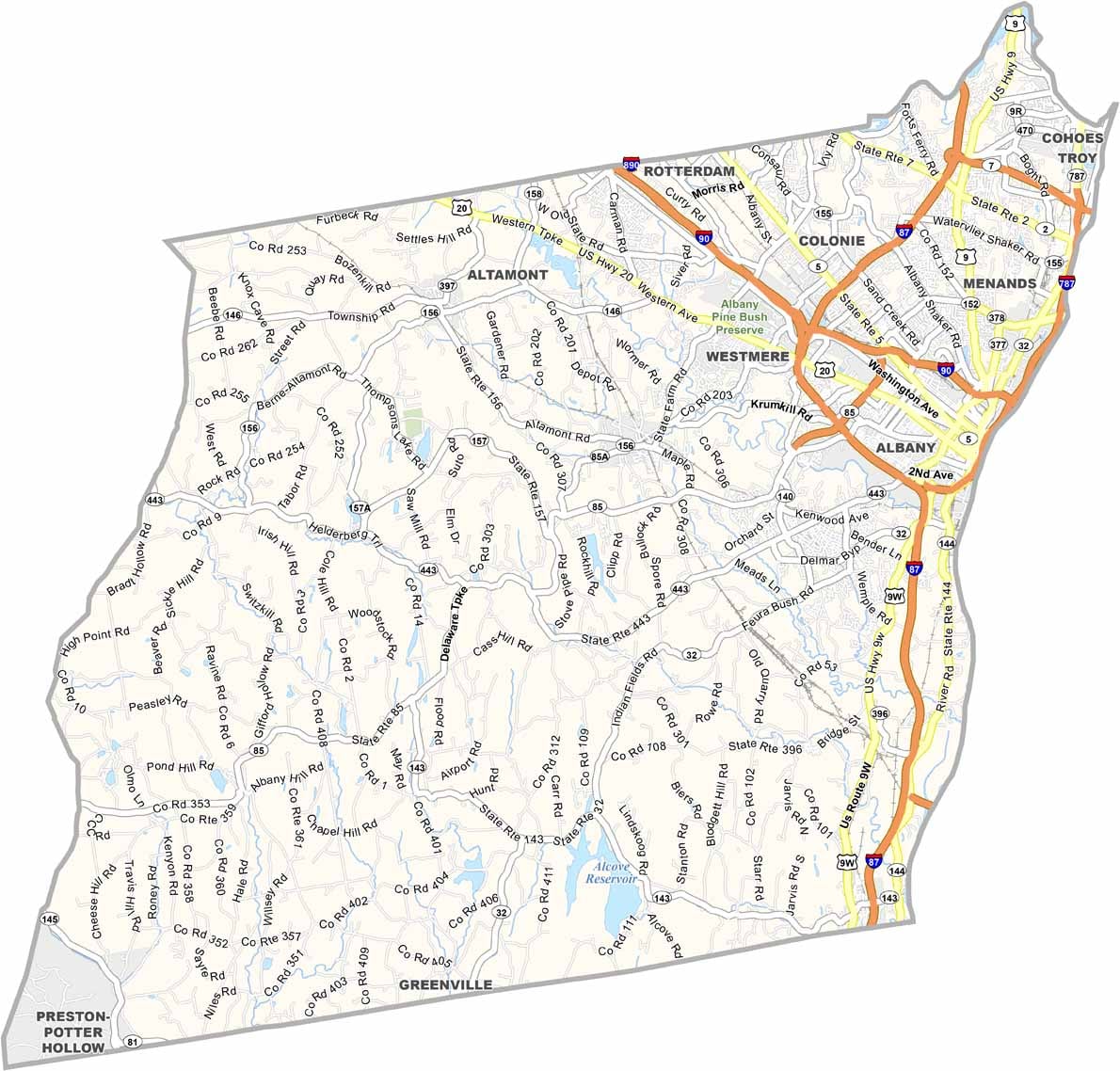
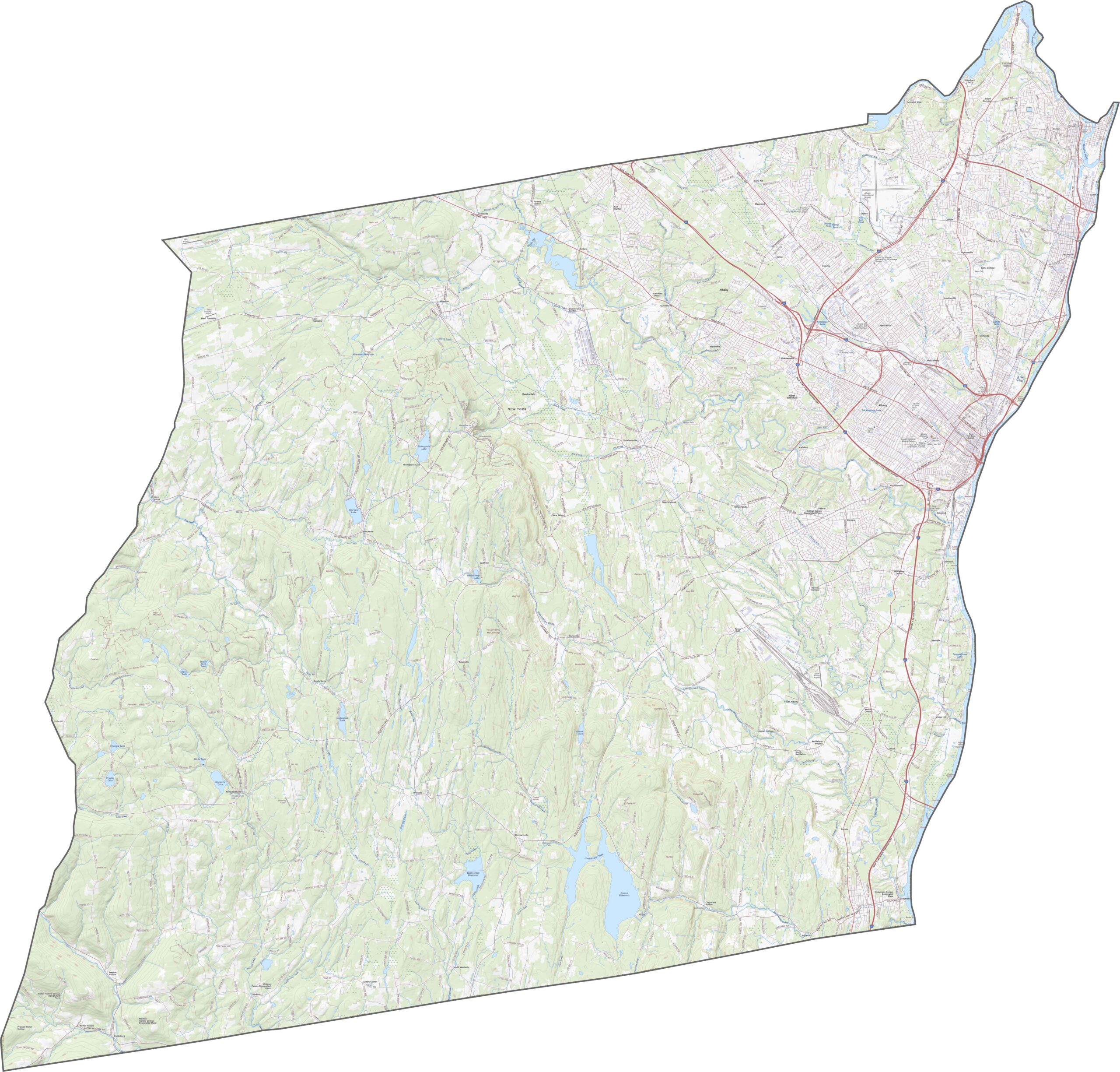
Albany County has a dense highway network. I-87 runs north to south through the east side, while I-90 cuts across from west to east. Some roads hug the river, and others climb the hills west of town. Even with all this, it's easy to miss something, so use the zoom tool on our road map below to see it all clearly.
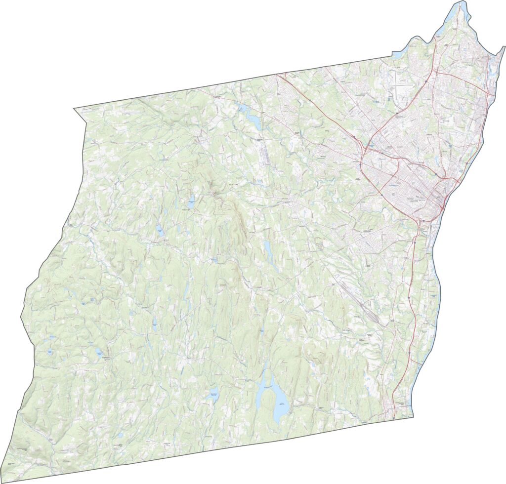
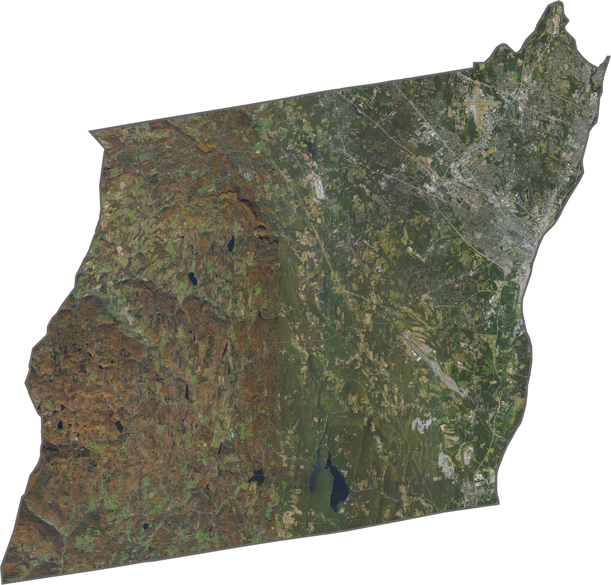
Urban development stands out near the river, where Albany's streets and buildings form a clear grid. Just west of the city, forested hills appear, with suburbs filling in the space between. Farmland and wooded tracts dominate the western edges, so even though this is a capital county, much of it looks rural from above.
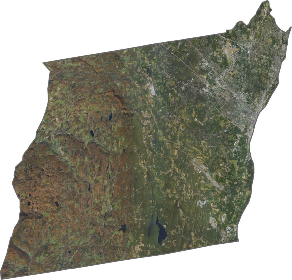
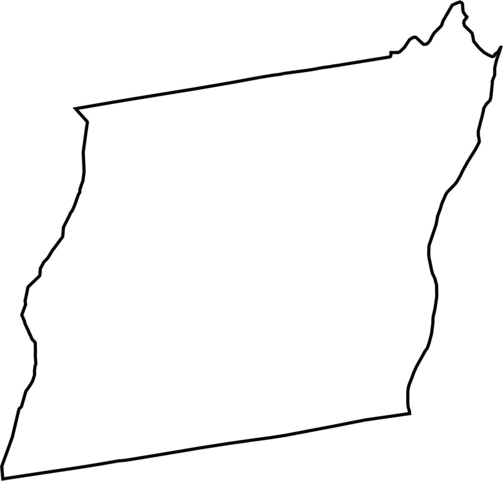
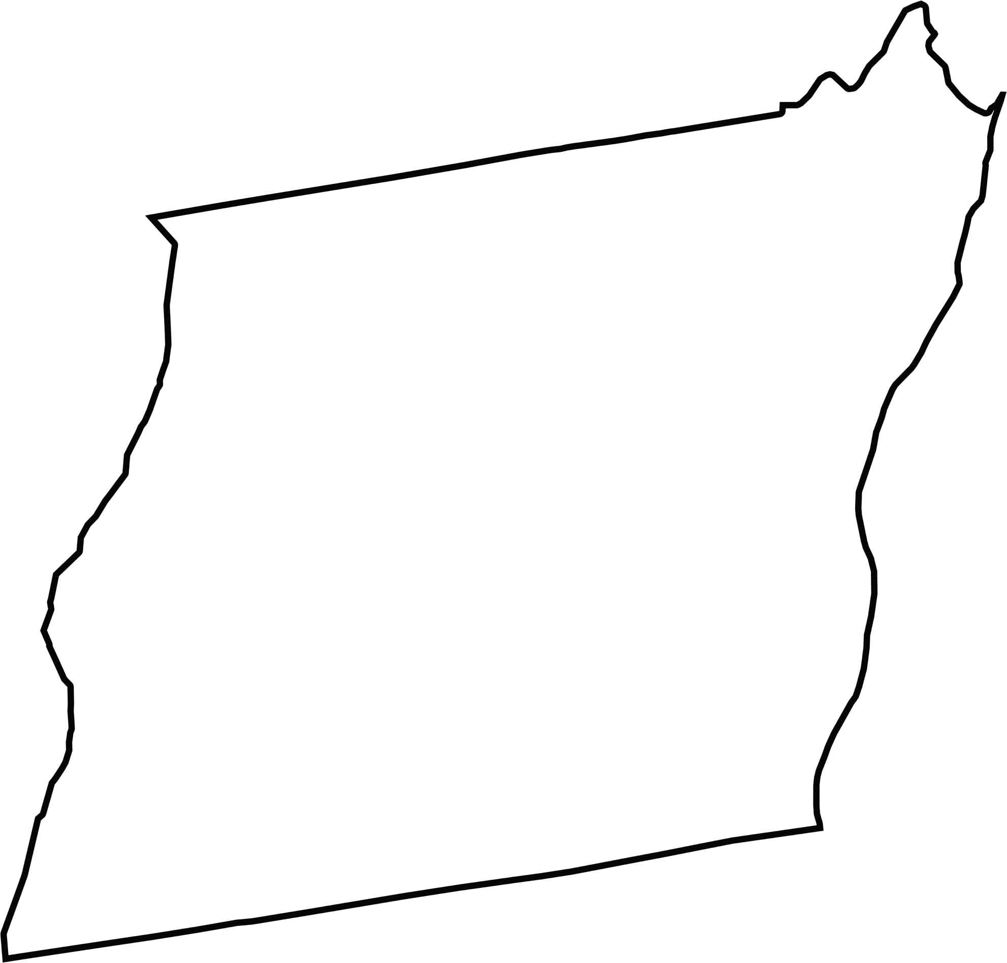
Albany County has a nearly parallelogram shape, and the Hudson River forms its eastern border. The county doesn't border another state, though Massachusetts is fairly close.







New York has 62 counties, and each one has its own personality. From the nonstop energy of Manhattan to the quiet wilderness of the Adirondacks, there’s plenty of variety to explore. And yes, we can’t forget those famous Buffalo wings. Explore our New York county maps.