
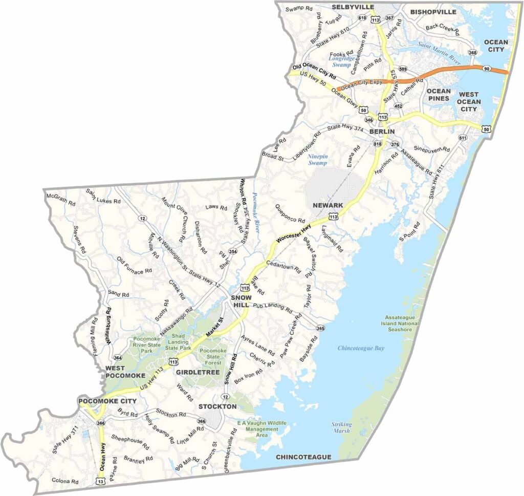
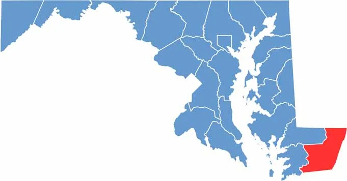
Worcester County sits on Maryland’s southeastern tip. It’s home to the state’s only seaside resort, Ocean City, where sun, sand, and surf come together in one complete package.
Assateague Island is famous for its wild ponies and offers a quieter escape just a short drive away. Small towns like Berlin are also full of character and charm.
Worcester County is known for its waterways, which are perfect for boating, fishing, or simply relaxing by the shore. Agriculture is important here as well, with corn and wheat among the major crops.
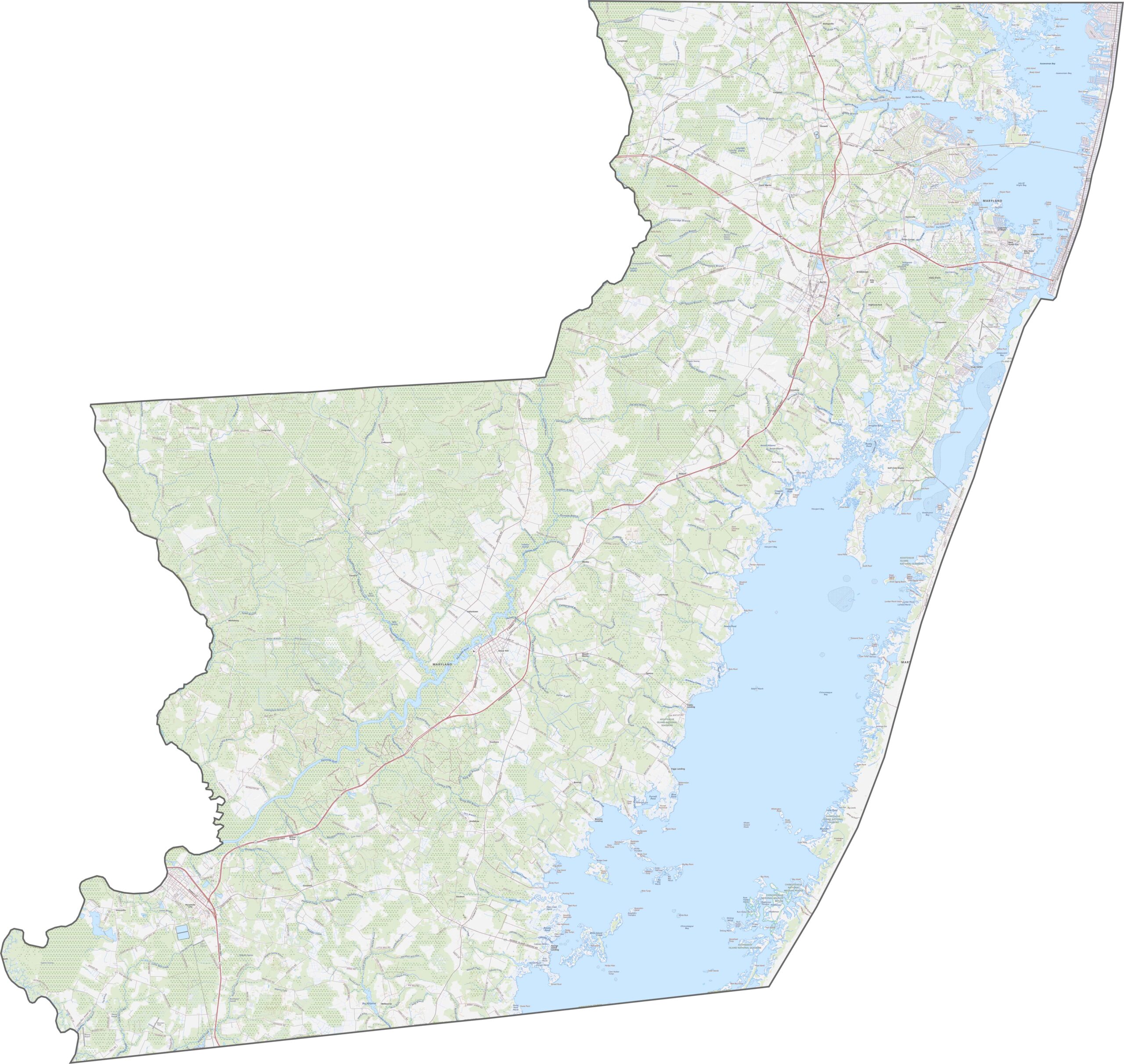
Worcester County is extremely flat, with extensive coastal marshes and sandy soils. U.S. Route 50 takes travelers directly to Ocean City, while Route 113 runs north to south through small towns and open countryside. Many roads end abruptly at the water’s edge, especially around the southern barrier islands.
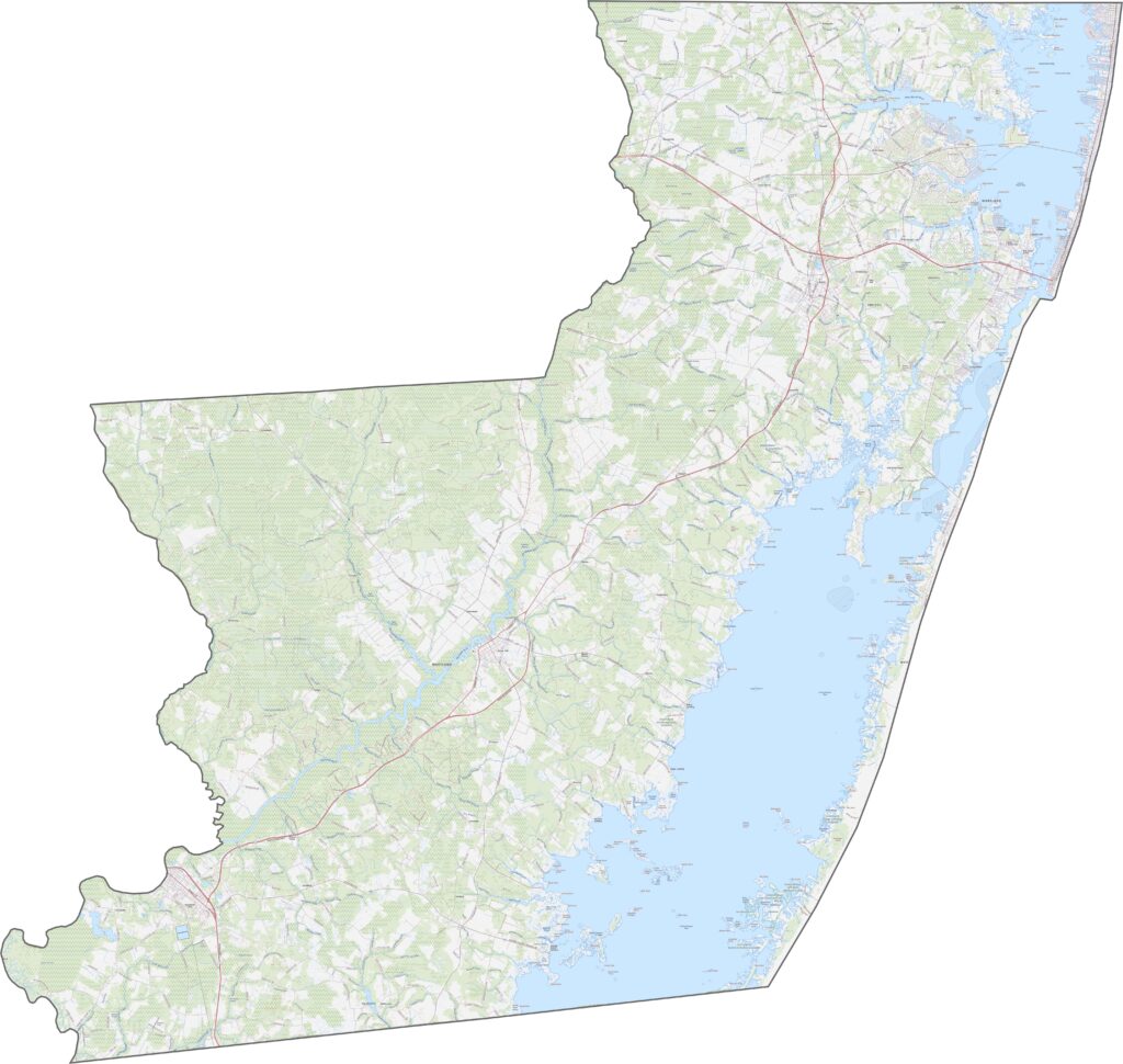
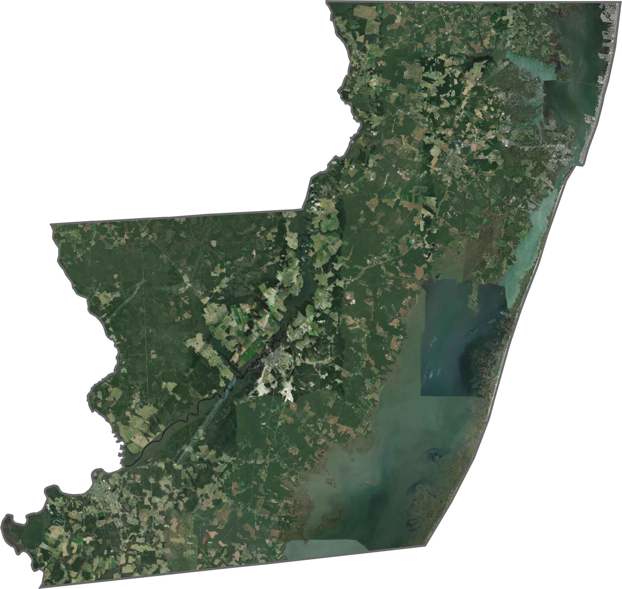
Worcester County is made up of developed beach resorts and vast protected wetlands. Ocean City appears as a dense strip along the coast, while the Pocomoke River winds through the surrounding green forests.
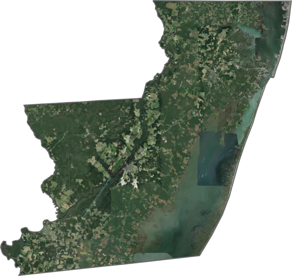
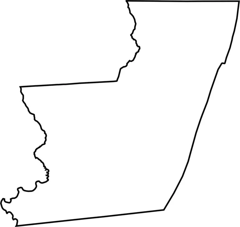
Worcester County borders the Atlantic Ocean to the east, while the Pocomoke River forms part of its western boundary.









With 23 counties and Baltimore City, Maryland offers a diverse mix of cities, small towns, rural communities, and scenic outdoor landscapes. From the Chesapeake Bay and coastal areas to historic towns and mountain regions, every part of the state has its own character. Explore our detailed Maryland county maps to learn more about the state’s counties, cities, roads, boundaries, and geographic features.